Carnewas Point
Coastal Feature, Headland, Point in Cornwall
England
Carnewas Point
The requested URL returned error: 429 Too Many Requests
If you have any feedback on the listing, please let us know in the comments section below.
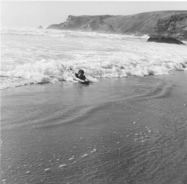
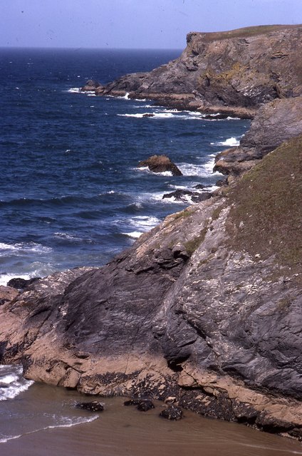
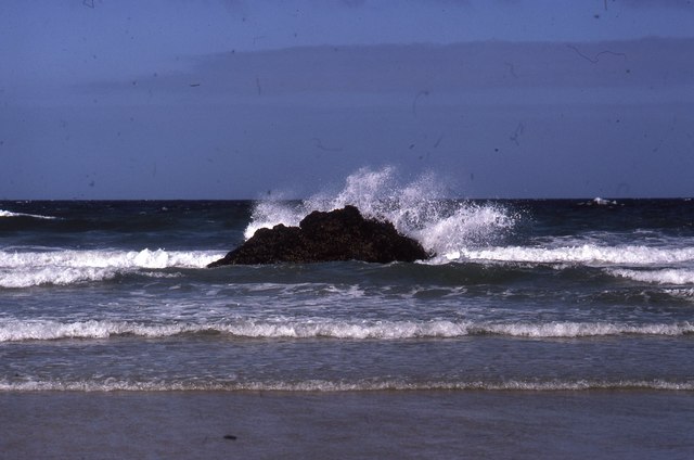
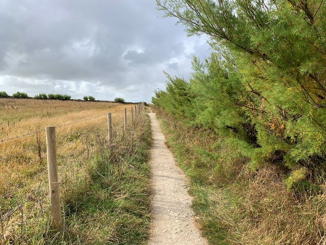
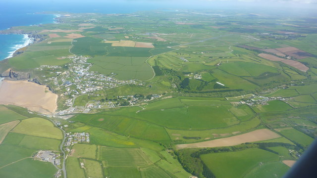
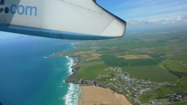
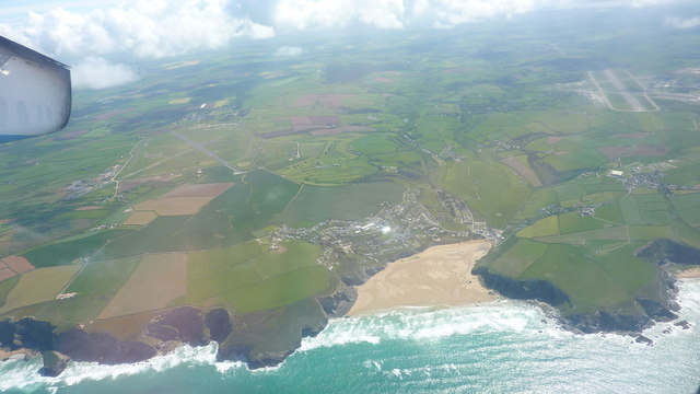
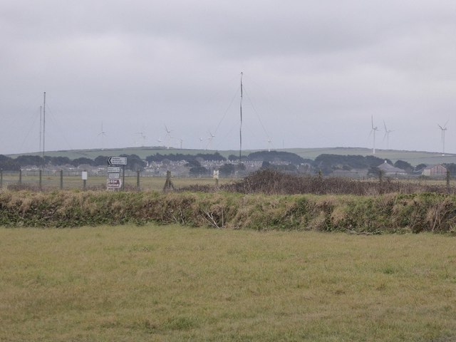
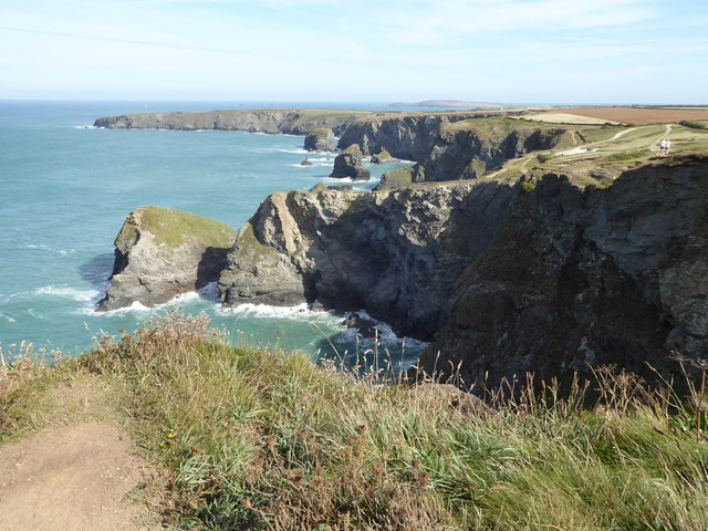
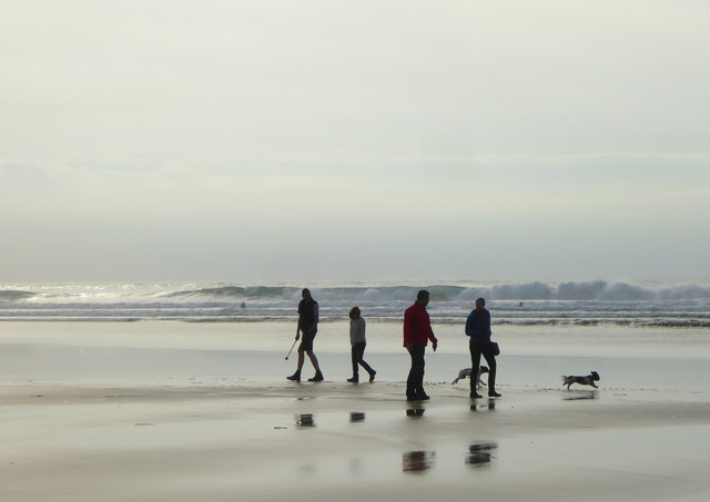
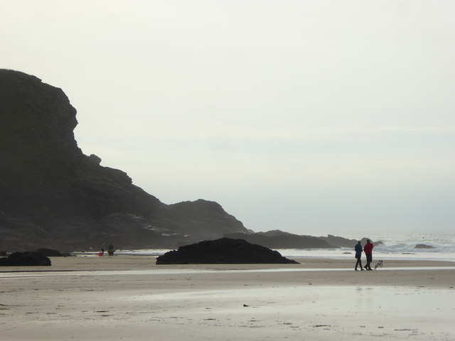
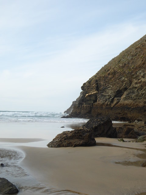
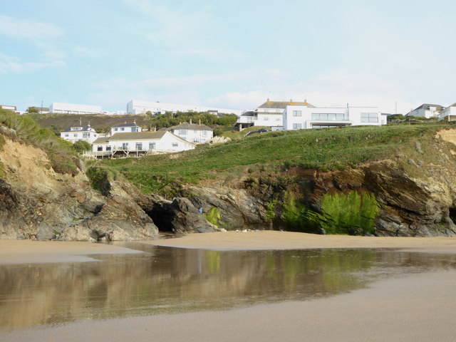
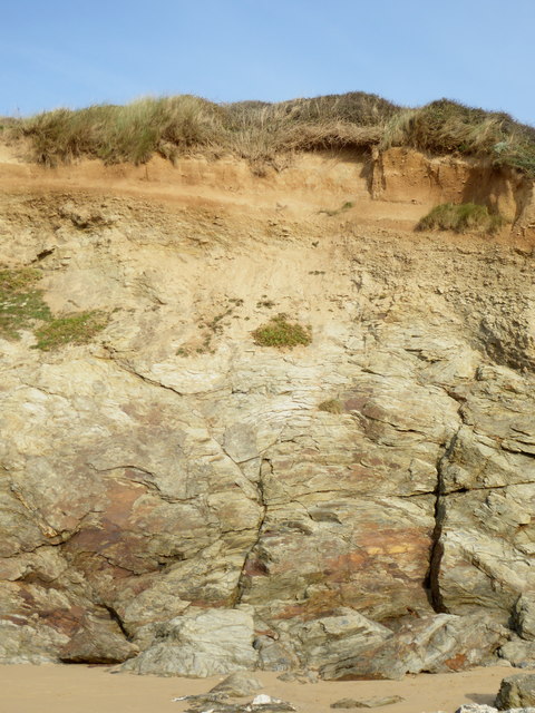
Carnewas Point Images
Images are sourced within 2km of 50.480852/-5.0352197 or Grid Reference SW8468. Thanks to Geograph Open Source API. All images are credited.
Carnewas Point is located at Grid Ref: SW8468 (Lat: 50.480852, Lng: -5.0352197)
Unitary Authority: Cornwall
Police Authority: Devon and Cornwall
What 3 Words
///cleans.inflating.loopholes. Near Newquay, Cornwall
Nearby Locations
Related Wikis

Carnewas and Bedruthan Steps
Carnewas and Bedruthan Steps (Cornish: Karn Havos, meaning "rock-pile of summer dwelling" and Cornish: Bos Rudhen, meaning "Red-one's dwelling") is a stretch...

Trenance
Trenance (Cornish: Trenans) is a hamlet adjoining Mawgan Porth in Cornwall, England, United Kingdom. Trenance Point is a headland nearby.There are also...

Downhill, Cornwall
Downhill is a hamlet in the parish of St Eval, Cornwall, England. == References ==

River Menalhyl
The River Menalhyl (Cornish: Dowr Melynheyl, meaning river of the estuary mill) is a river in Cornwall, England, that flows through the civil parishes...
Nearby Amenities
Located within 500m of 50.480852,-5.0352197Have you been to Carnewas Point?
Leave your review of Carnewas Point below (or comments, questions and feedback).