Rubha na Sgillinne
Coastal Feature, Headland, Point in Inverness-shire
Scotland
Rubha na Sgillinne

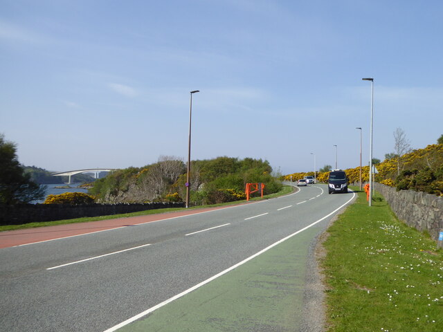
Rubha na Sgillinne, located in Inverness-shire, Scotland, is a prominent coastal feature known for its picturesque headland and stunning views. Situated on the west coast of Scotland, this point extends out into the North Atlantic Ocean, offering visitors a breathtaking panorama of the surrounding landscape.
The headland is characterized by its rugged cliffs, which rise dramatically from the sea below. These cliffs, composed primarily of ancient rock formations, provide a nesting site for various seabird species, including gulls, fulmars, and puffins. Their cries fill the air as they soar above the crashing waves.
Rubha na Sgillinne is also known for its diverse marine life. The waters surrounding the headland are teeming with marine creatures, making it a popular spot for fishing and wildlife enthusiasts. Common sightings include seals, dolphins, and even occasional whales. The area is also home to a variety of fish species, attracting both recreational and commercial fishermen.
The headland offers several walking trails and vantage points, allowing visitors to explore the area and appreciate its natural beauty. The coastal path provides stunning views of the surrounding coastline, with its jagged cliffs and hidden coves. On a clear day, it is possible to see the distant peaks of the Scottish Highlands, adding to the allure of the landscape.
Rubha na Sgillinne is a haven for nature lovers and outdoor enthusiasts, offering a unique opportunity to experience the untamed beauty of Scotland's west coast. Whether it's birdwatching, fishing, or simply enjoying the tranquility of the surroundings, this coastal feature provides a memorable experience for all who visit.
If you have any feedback on the listing, please let us know in the comments section below.
Rubha na Sgillinne Images
Images are sourced within 2km of 57.271364/-5.718392 or Grid Reference NG7526. Thanks to Geograph Open Source API. All images are credited.


Rubha na Sgillinne is located at Grid Ref: NG7526 (Lat: 57.271364, Lng: -5.718392)
Unitary Authority: Highland
Police Authority: Highlands and Islands
What 3 Words
///strictest.studs.sling. Near Kyleakin, Highland
Nearby Locations
Related Wikis
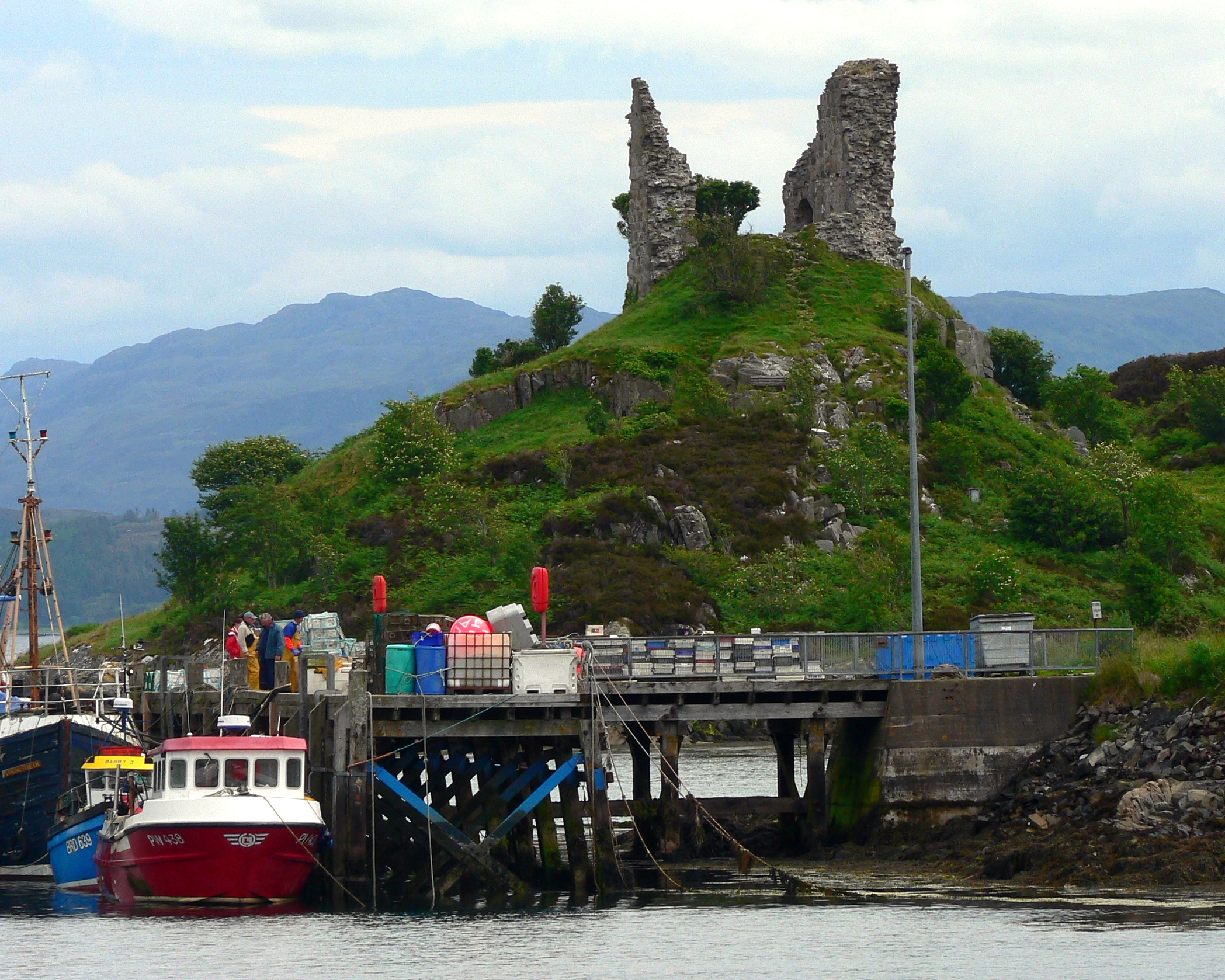
Caisteal Maol
Caisteal Maol (Gaelic: Caisteal, 'Castle', Maol, 'bare') is a ruined castle located near the harbour of the village of Kyleakin, Isle of Skye, Scotland...

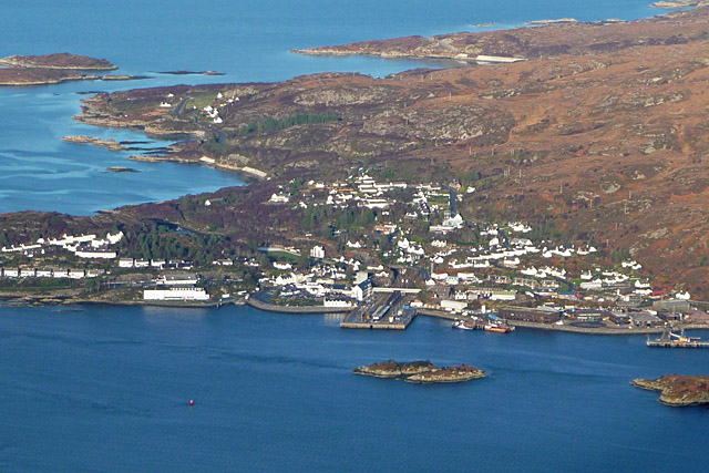
Kyleakin
Kyleakin (; Scottish Gaelic: Caol Àcain) is a village situated on the east coast of the Isle of Skye in the Inner Hebrides, Scotland. The village is along...
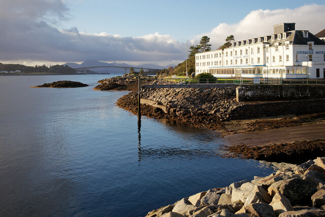
Kyle of Lochalsh
Kyle of Lochalsh (Scottish Gaelic: Caol Loch Aillse [kɯːl̪ˠ l̪ˠɔx ˈaiʎʃə], "strait of the foaming loch") is a village in the historic county of Ross &...
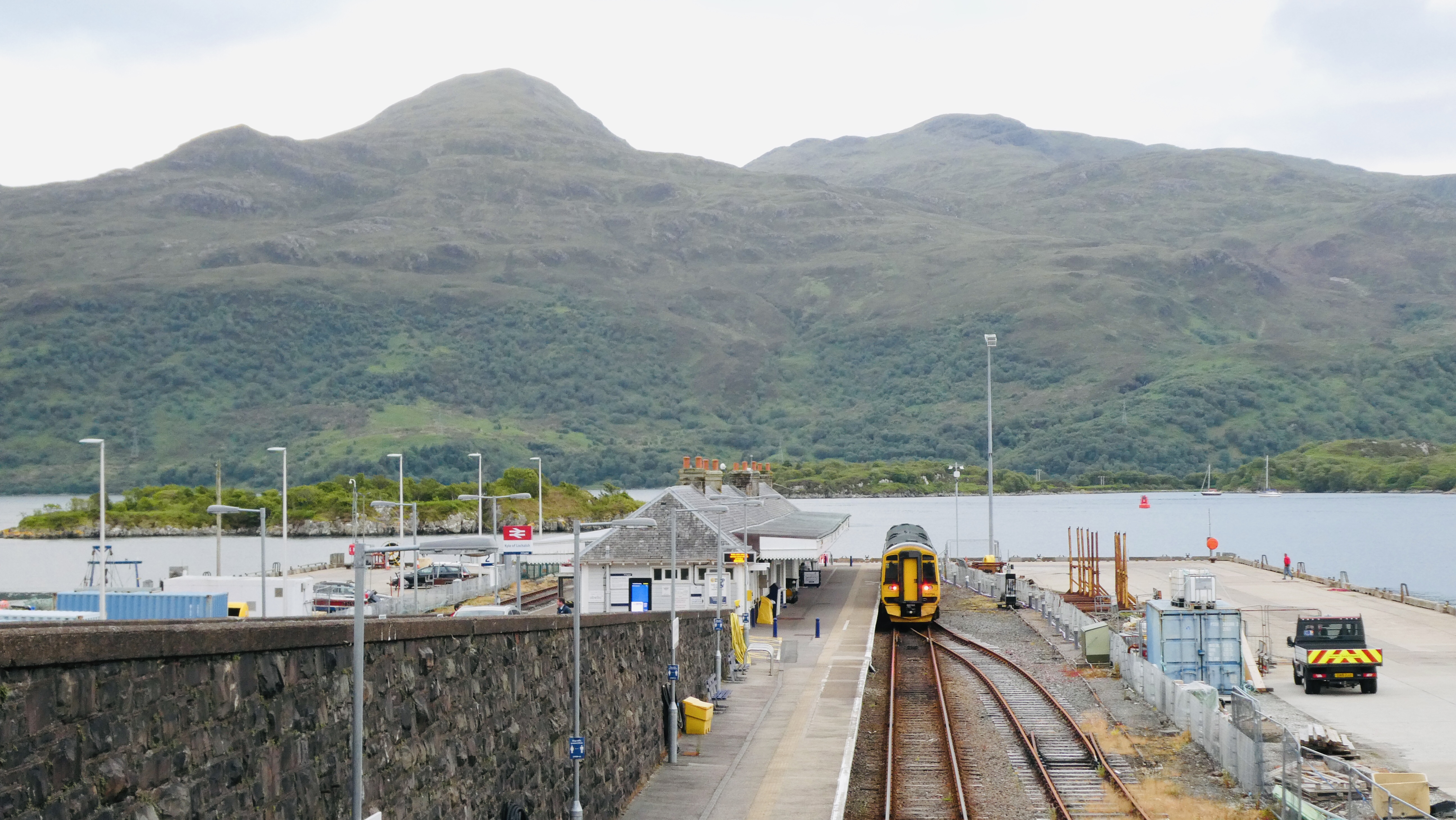
Kyle of Lochalsh railway station
Kyle of Lochalsh railway station is the terminus of the Kyle of Lochalsh Line in the village of Kyle of Lochalsh in the Highlands, northern Scotland. The...
Nearby Amenities
Located within 500m of 57.271364,-5.718392Have you been to Rubha na Sgillinne?
Leave your review of Rubha na Sgillinne below (or comments, questions and feedback).