An Cnap
Coastal Feature, Headland, Point in Inverness-shire
Scotland
An Cnap

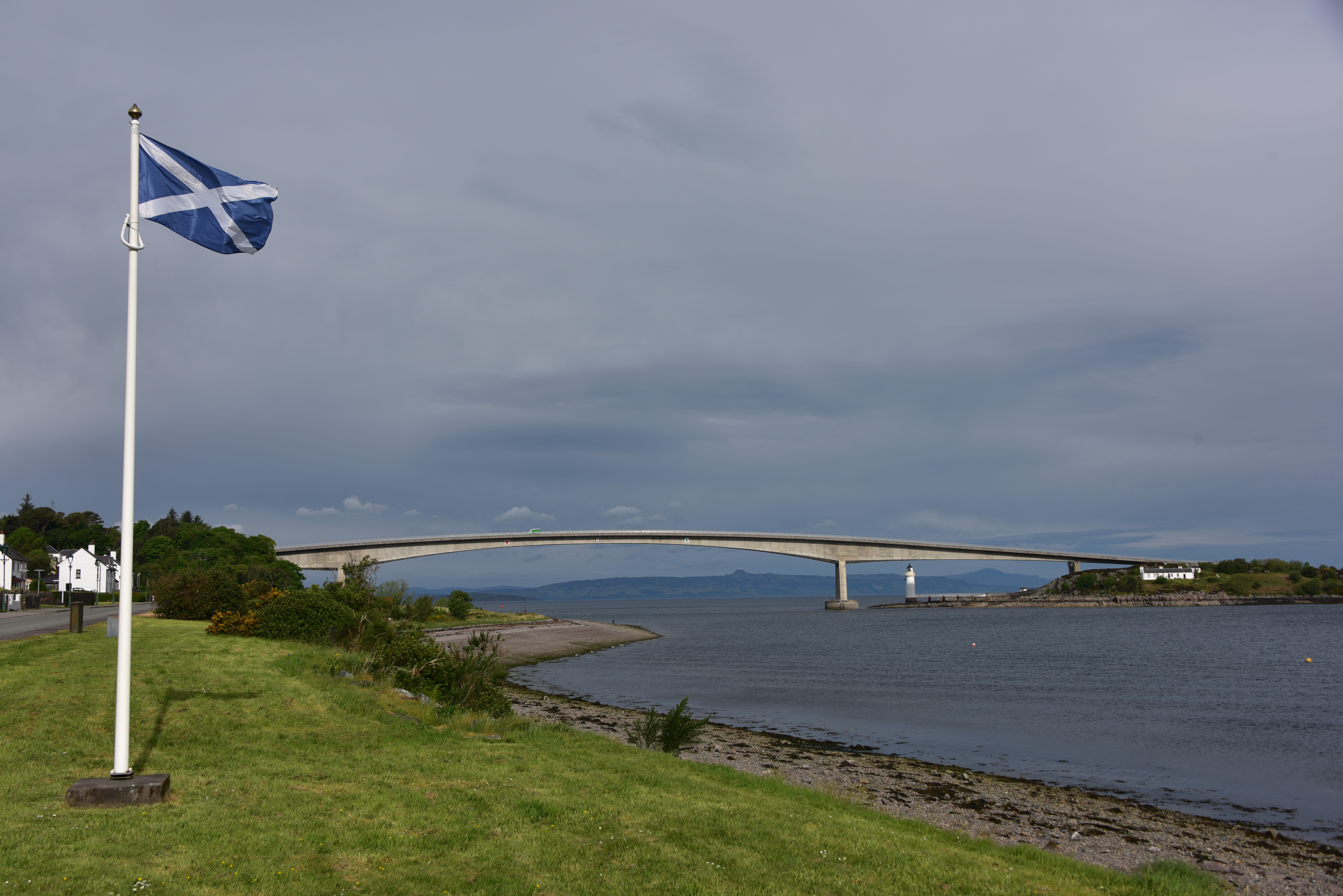
An Cnap is a stunning coastal feature located in Inverness-shire, Scotland. This headland juts out into the North Sea, offering breathtaking views of the surrounding landscape. The name "An Cnap" translates to "The Knob" in English, which accurately describes the shape of this prominent point.
An Cnap is known for its rugged beauty, with sheer cliffs plunging into the sea below. The headland is covered in lush green vegetation, adding to its picturesque appeal. Visitors to An Cnap can enjoy scenic walks along the cliffs, taking in the panoramic views of the coastline and the sea beyond.
The area surrounding An Cnap is rich in wildlife, providing opportunities for birdwatching and spotting marine life such as seals and dolphins. The headland is also steeped in history, with ancient ruins and archaeological sites scattered throughout the landscape.
Overall, An Cnap is a must-visit destination for nature lovers, history buffs, and anyone seeking a peaceful escape along the rugged Scottish coast. Its dramatic beauty and rich biodiversity make it a truly special place to explore.
If you have any feedback on the listing, please let us know in the comments section below.
An Cnap Images
Images are sourced within 2km of 57.273272/-5.7270991 or Grid Reference NG7526. Thanks to Geograph Open Source API. All images are credited.


An Cnap is located at Grid Ref: NG7526 (Lat: 57.273272, Lng: -5.7270991)
Unitary Authority: Highland
Police Authority: Highlands and Islands
What 3 Words
///curtail.nanny.person. Near Kyleakin, Highland
Related Wikis

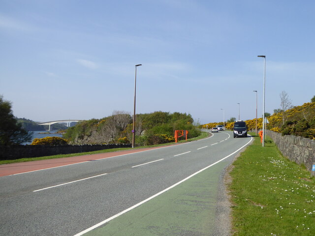
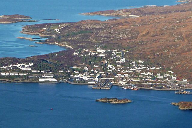
Kyleakin
Kyleakin (; Scottish Gaelic: Caol Àcain) is a village situated on the east coast of the Isle of Skye in the Inner Hebrides, Scotland. The village is along...
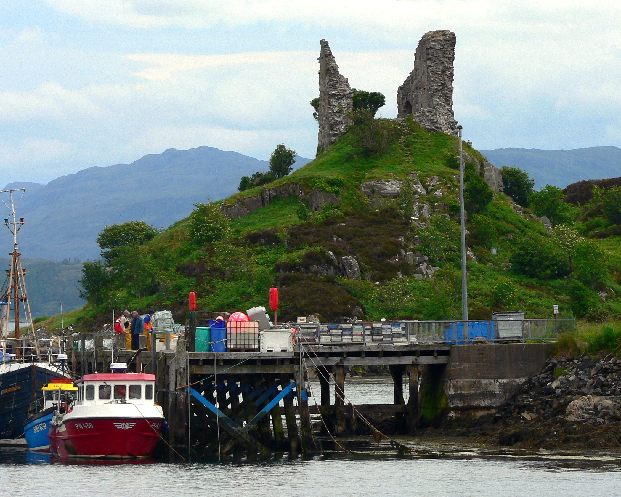
Caisteal Maol
Caisteal Maol (Gaelic: Caisteal, 'Castle', Maol, 'bare') is a ruined castle located near the harbour of the village of Kyleakin, Isle of Skye, Scotland...
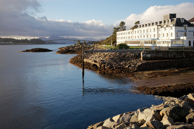
Kyle of Lochalsh
Kyle of Lochalsh (Scottish Gaelic: Caol Loch Aillse [kɯːl̪ˠ l̪ˠɔx ˈaiʎʃə], "strait of the foaming loch") is a village in the historic county of Ross &...
Skye Bridge
The Skye Bridge (Scottish Gaelic: Drochaid an Eilein Sgitheanaich) is a road bridge over Loch Alsh, Scotland, connecting the Isle of Skye to the island...
Nearby Amenities
Located within 500m of 57.273272,-5.7270991Have you been to An Cnap?
Leave your review of An Cnap below (or comments, questions and feedback).