Rubha nan Aighean
Coastal Feature, Headland, Point in Argyllshire
Scotland
Rubha nan Aighean
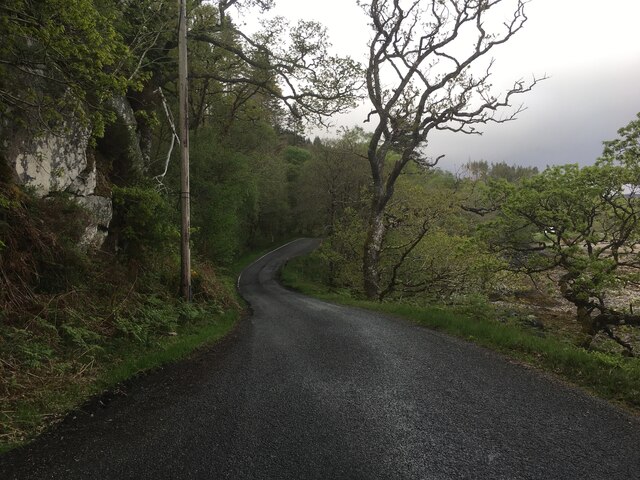
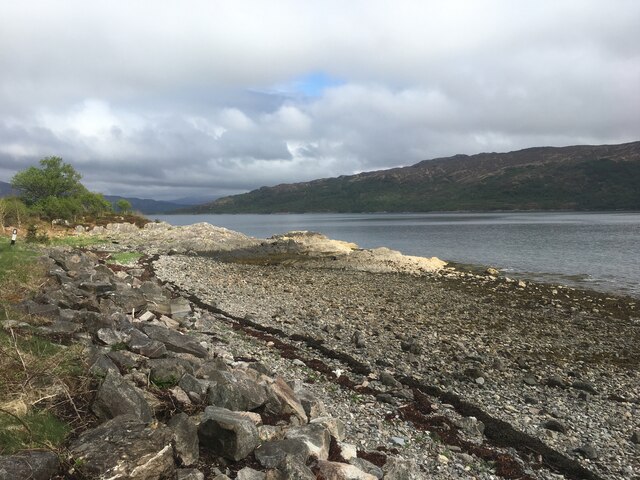
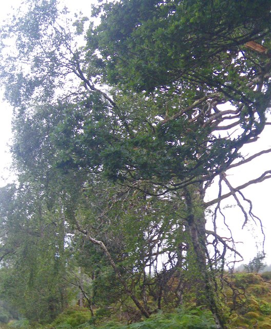
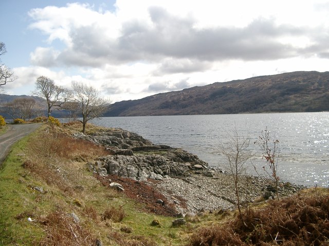
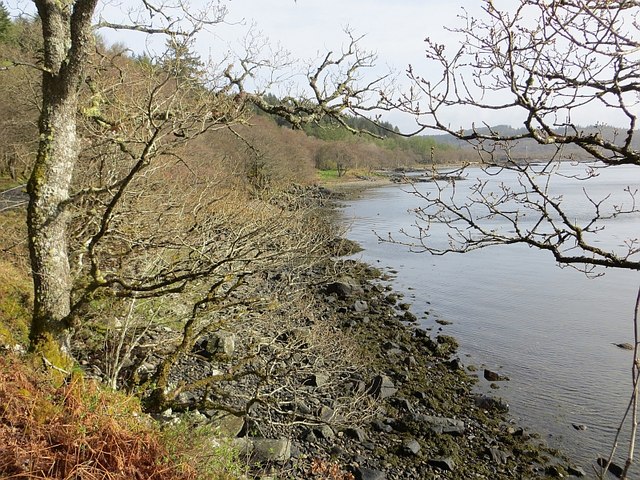
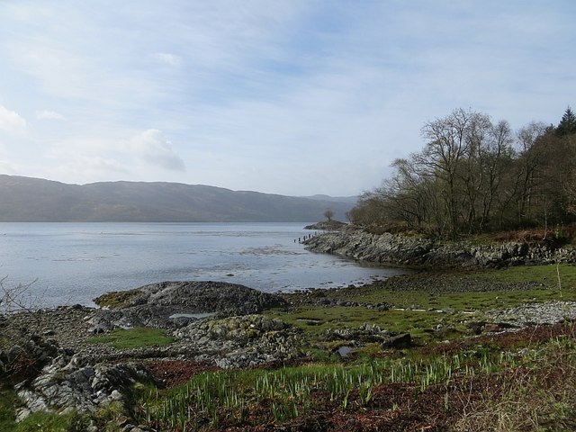
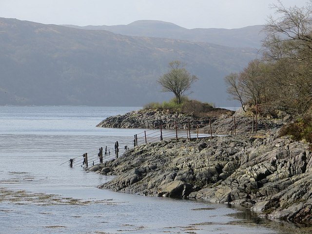
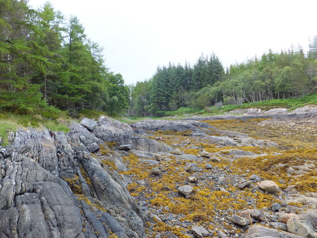
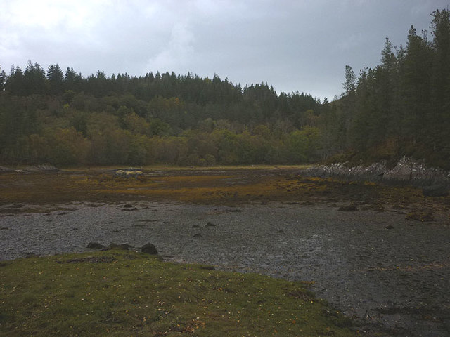
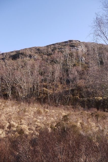
Rubha nan Aighean is a prominent coastal feature located in Argyllshire, Scotland. It is a headland or point that extends into the Atlantic Ocean, offering stunning panoramic views of the surrounding landscape. The name "Rubha nan Aighean" translates to "Point of the Cliffs" in English, which aptly describes the rugged and rocky nature of this geographical formation.
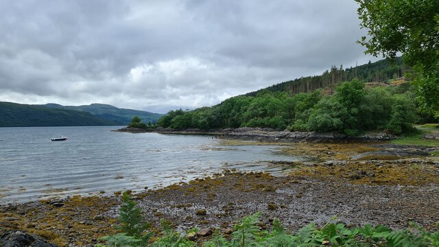
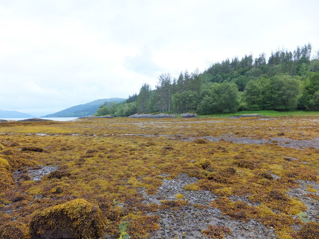
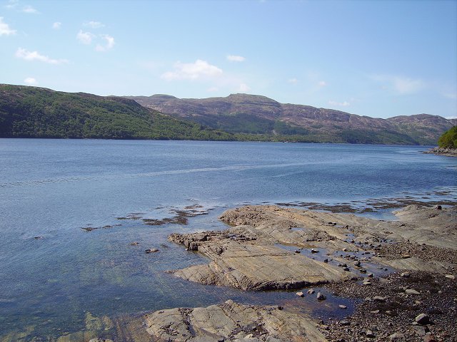
Situated on the western coast of Scotland, Rubha nan Aighean is known for its dramatic cliffs that plunge into the sea, creating a picturesque and awe-inspiring sight. The headland is composed of ancient metamorphic rocks, giving it a unique and distinctive appearance. These cliffs provide nesting grounds for various seabirds, including puffins, guillemots, and razorbills, making it a popular spot for birdwatchers and nature enthusiasts.
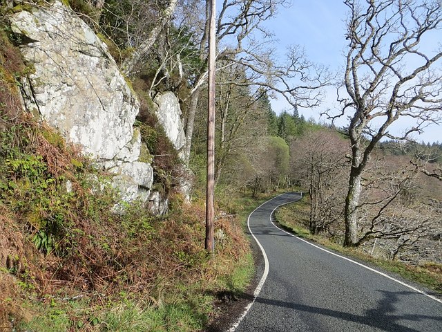
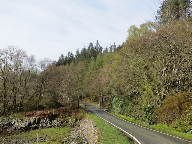
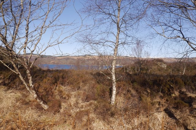
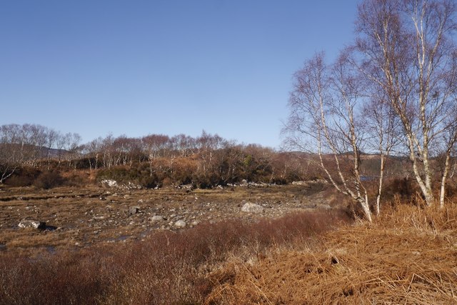
In addition to its natural beauty, Rubha nan Aighean offers breathtaking vistas of the surrounding coastline and the Atlantic Ocean. On clear days, visitors can see the distant islands of Mull and Jura, adding to the allure of this already mesmerizing location. The headland is also home to several walking trails that allow visitors to explore the area while taking in the stunning views.
As a coastal feature, Rubha nan Aighean plays a crucial role in protecting the mainland from the fierce waves and tides of the Atlantic Ocean. The rocky cliffs act as a natural barrier, absorbing the force of the waves and preventing coastal erosion. This function is vital in maintaining the stability and integrity of the surrounding coastline.
Overall, Rubha nan Aighean is a captivating and significant headland in Argyllshire, offering a unique blend of natural beauty, wildlife, and geological importance.
If you have any feedback on the listing, please let us know in the comments section below.
Rubha nan Aighean Images
Images are sourced within 2km of 56.694218/-5.7653022 or Grid Reference NM6962. Thanks to Geograph Open Source API. All images are credited.

Rubha nan Aighean is located at Grid Ref: NM6962 (Lat: 56.694218, Lng: -5.7653022)
Unitary Authority: Highland
Police Authority: Highlands and Islands
What 3 Words
///connected.buffoon.worldwide. Near Drimnin, Highland
Nearby Locations
Related Wikis
Loch Sunart
Loch Sunart (Scottish Gaelic Loch Shuaineart) is a sea loch on the west coast of Scotland. Loch Sunart is bounded to the north by the Sunart district of...

Resipole
Resipole (Scottish Gaelic: Rèiseapol) is a settlement on the Ardnamurchan peninsula in Highland, Scotland. Resipole is located on the A861 road on the...
Salen, Ardnamurchan
Salen (Scottish Gaelic: An t-Sàilein) is a coastal village on the Ardnamurchan peninsula, overlooking Salen Bay which is an inlet of the sea loch, Loch...
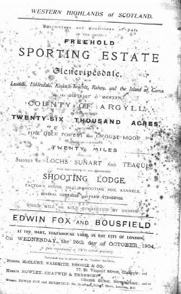
Glencripesdale Estate
The Glencripesdale Estate is a country estate situated along the south side of Loch Sunart, a sea loch in the west highlands of Scotland. Today, the Isle...
Nearby Amenities
Located within 500m of 56.694218,-5.7653022Have you been to Rubha nan Aighean?
Leave your review of Rubha nan Aighean below (or comments, questions and feedback).