Àird Bhreacain
Coastal Feature, Headland, Point in Argyllshire
Scotland
Àird Bhreacain
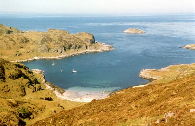
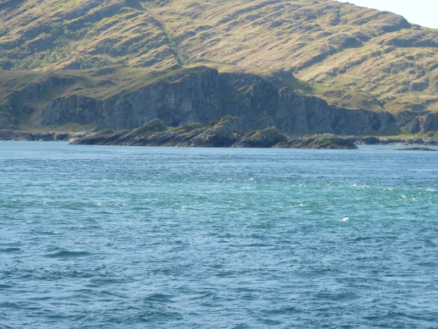
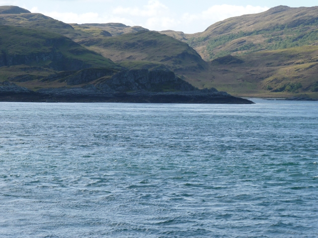
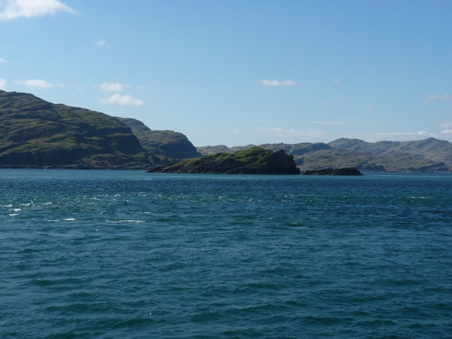
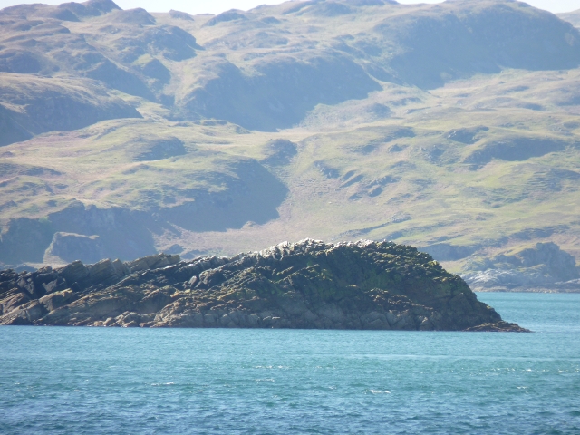
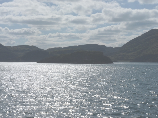
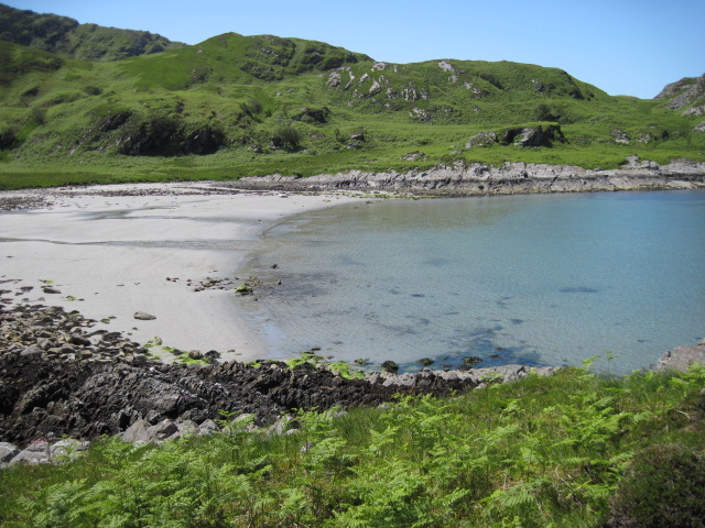
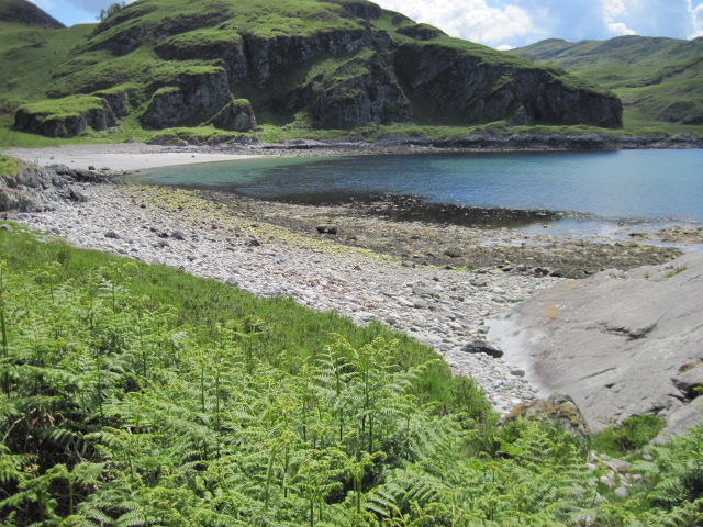
Àird Bhreacain is a prominent headland located in Argyllshire, Scotland. Situated along the picturesque coastal region, it is known for its stunning natural beauty and diverse wildlife. The headland juts out into the sea, forming a distinctive point that offers panoramic views of the surrounding landscape.
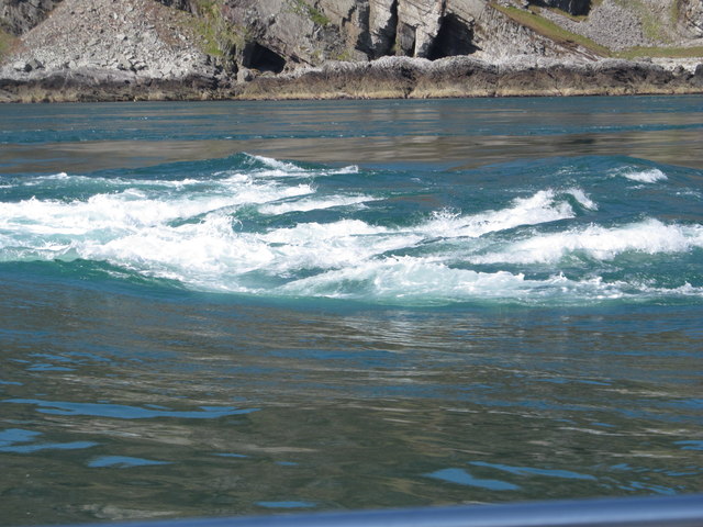
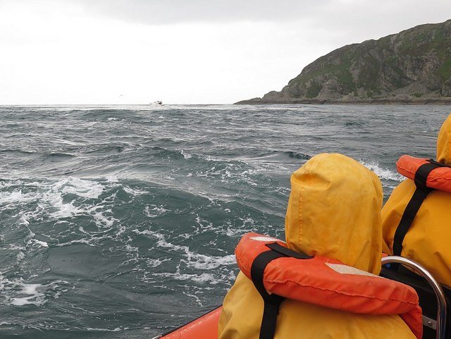
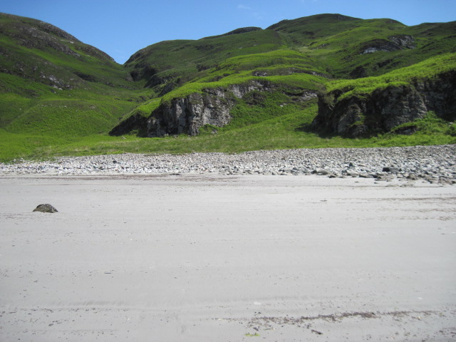
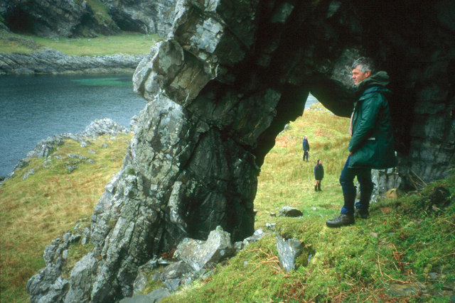
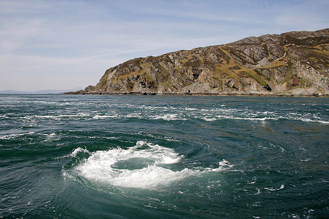
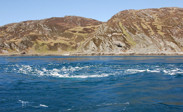
The geography of Àird Bhreacain is characterized by rugged cliffs and rocky outcrops, which provide nesting grounds for seabirds such as puffins, razorbills, and gannets. These cliffs also offer a haven for various marine species, including seals and dolphins, making it a popular spot for wildlife enthusiasts and birdwatchers.
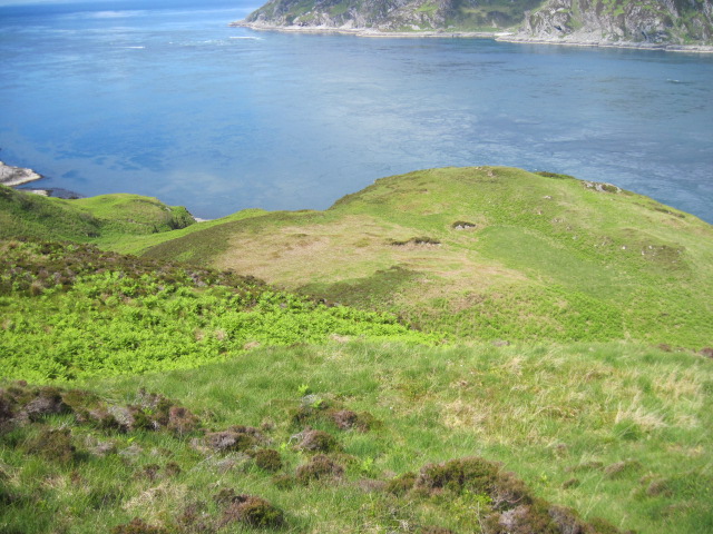
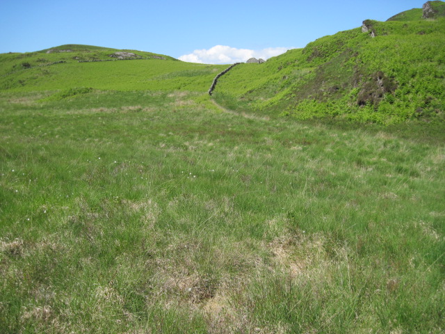
The headland is accessible by foot, with a well-maintained path that winds its way along the coastline. As visitors walk along the trail, they can enjoy the breathtaking views of the Atlantic Ocean and the nearby islands. The path is lined with heather, wildflowers, and grasses, creating a vivid tapestry of colors that changes with the seasons.
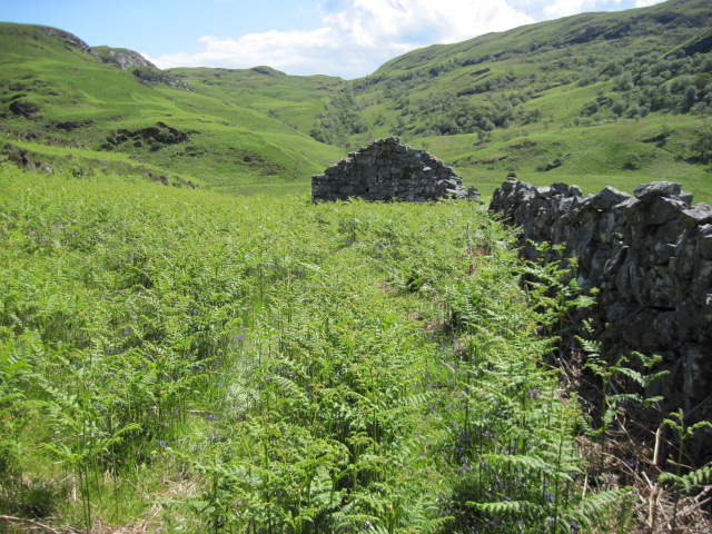
Àird Bhreacain is not only a haven for wildlife but also holds historical significance. The remains of an ancient fort can be found on the headland, providing a glimpse into the area's rich past. Archaeological excavations have unearthed artifacts dating back centuries, shedding light on the lives of the people who once inhabited this coastal region.
Overall, Àird Bhreacain is a captivating coastal feature that offers a unique blend of natural beauty, wildlife, and historical intrigue. Its striking cliffs, diverse fauna, and picturesque views make it a must-visit destination for nature lovers and history enthusiasts alike.
If you have any feedback on the listing, please let us know in the comments section below.
Àird Bhreacain Images
Images are sourced within 2km of 56.139218/-5.731606 or Grid Reference NM6800. Thanks to Geograph Open Source API. All images are credited.

Àird Bhreacain is located at Grid Ref: NM6800 (Lat: 56.139218, Lng: -5.731606)
Unitary Authority: Argyll and Bute
Police Authority: Argyll and West Dunbartonshire
What 3 Words
///sweeping.plausible.tonsils. Near Lochgilphead, Argyll & Bute
Related Wikis

Gulf of Corryvreckan
The Gulf of Corryvreckan (from the Gaelic Coire Bhreacain, meaning 'cauldron of the speckled seas' or 'cauldron of the plaid'), also called the Strait...

Kinuachdrachd
Kinuachdrachd or Kinuachdrach is a place about 22 miles from Craighouse on the island of Jura, in the council area of Argyll and Bute, Scotland. It comprises...

Barnhill, Jura
Barnhill is a farmhouse in the north of the island of Jura in the Scottish Inner Hebrides overlooking the Sound of Jura. It stands on the site of a larger...

Scarba
Scarba (Scottish Gaelic: Sgarba) is an island, in Argyll and Bute, Scotland, just north of the much larger island of Jura. The island has not been permanently...

Jura, Scotland
Jura ( JOOR-ə; Scottish Gaelic: Diùra) is an island in the Inner Hebrides of Scotland, adjacent to and northeast of Islay. With an area of 36,692 hectares...

Lunga, Firth of Lorn
Lunga is one of the Slate Islands in the Firth of Lorn in Argyll and Bute, Scotland. The "Grey Dog" tidal race, which runs in the sea channel to the south...
Scarba, Lunga and the Garvellachs National Scenic Area
Scarba, Lunga and the Garvellachs is the name of one of the 40 national scenic areas of Scotland. The designated area covers the islands of Scarba, Lunga...

Craignish Castle
Craignish Castle is located on the Craignish peninsula in Argyll, western Scotland and is a category B listed building. The present castle includes a 16th...
Nearby Amenities
Located within 500m of 56.139218,-5.731606Have you been to Àird Bhreacain?
Leave your review of Àird Bhreacain below (or comments, questions and feedback).