Gallowstree Common

Settlement in Oxfordshire South Oxfordshire

England

Gallowstree Common

No Trace of The Fox This place now has no resemblance to earlier photos here.
Graham Horn's picture from 15 years ago shows the building which used to be on this site until a few years ago. Then it was a large pub "The Fox" <a href="https://www.geograph.org.uk/photo/348561">SU6779 : The Fox at Cane End</a>
A later picture of mine <a href="https://www.geograph.org.uk/photo/2083210">SU6779 : Palm Tree  (Ex Fox)</a> shows it as an Indian restaurant "The Palm Tree."  
In my caption at the time I wished them luck in this tricky out of town location.
Not to be. After yet another spell as a Thai restaurant the place finally closed its doors.
Now demolished and replaced by these new houses. The only clues are the pub style sign post which now carries the developer's name board and the new cul de sac which is called Fox Heath Gardens..
No Trace of The Fox Credit: Des Blenkinsopp

Gallowstree Common is a small village located in the South Oxfordshire district of Oxfordshire, England. Situated approximately six miles northeast of Reading and five miles west of Henley-on-Thames, it is nestled within the Chiltern Hills Area of Outstanding Natural Beauty.

The village derives its name from the medieval term "gallows tree," implying a place where gallows were once erected. Gallowstree Common is known for its picturesque countryside, featuring rolling hills, woodlands, and fields. The landscape offers numerous walking and cycling trails, making it a popular destination for outdoor enthusiasts and nature lovers.

The village is primarily residential, with a mix of traditional thatched-roof cottages and modern houses. It has a close-knit community and is home to a local church, St. Margaret's, which dates back to the 12th century. The church boasts stunning architectural features and is a significant historical landmark in the area.

Despite its small size, Gallowstree Common has a vibrant community spirit. The village hosts various events throughout the year, including summer fĂȘtes, Christmas markets, and community gatherings. It also has a village hall that serves as a hub for social activities and local meetings.

The nearby town of Sonning Common provides essential amenities, including shops, schools, and medical facilities. Gallowstree Common benefits from its proximity to larger towns and cities, offering residents a peaceful rural lifestyle while still providing easy access to urban amenities.

Overall, Gallowstree Common offers a tranquil and idyllic setting, making it a desirable place to live for those seeking a rural retreat within reach of modern conveniences.

If you have any feedback on the listing, please let us know in the comments section below.

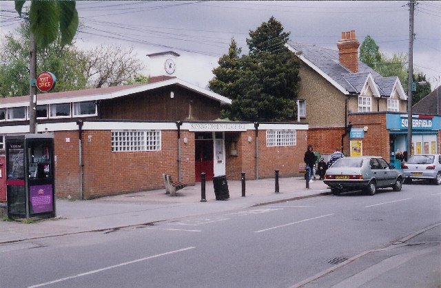
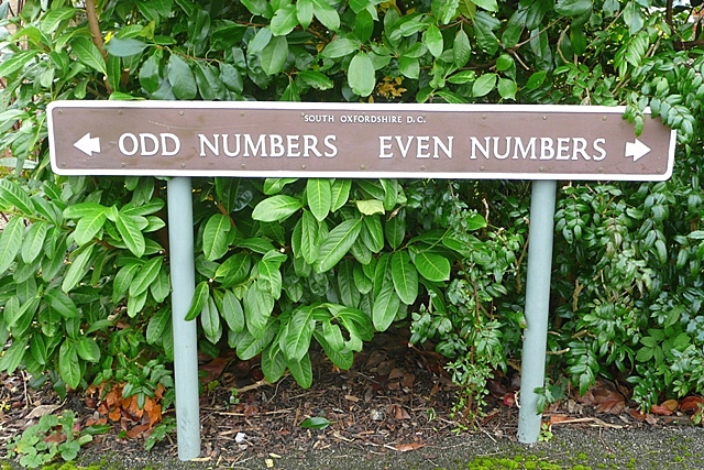
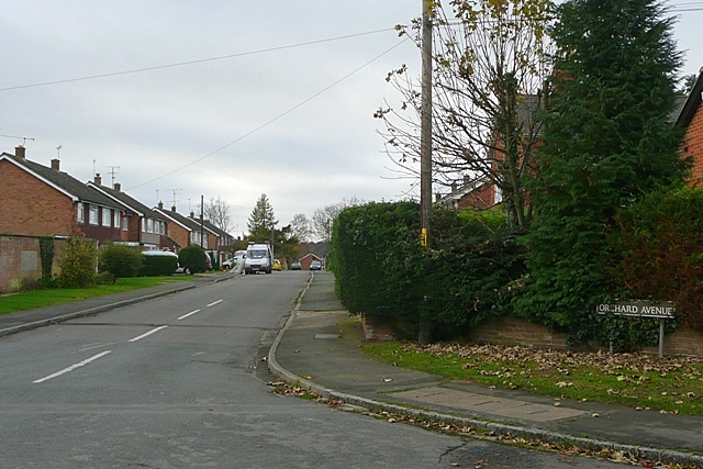
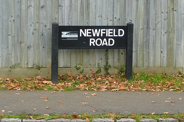
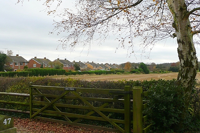
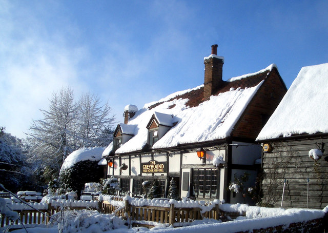
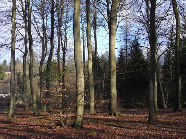
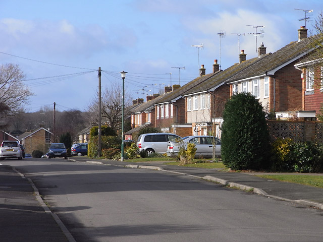
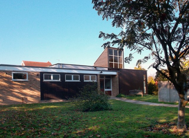
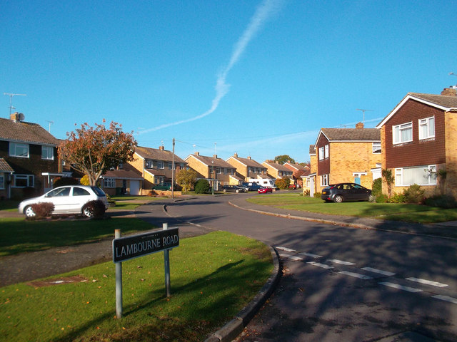
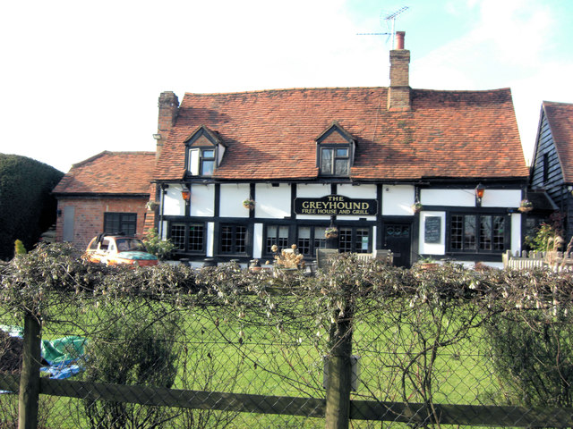
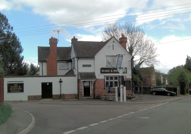
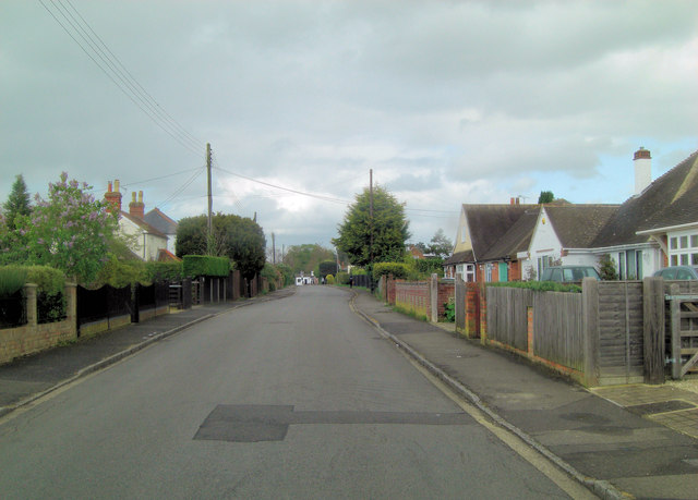
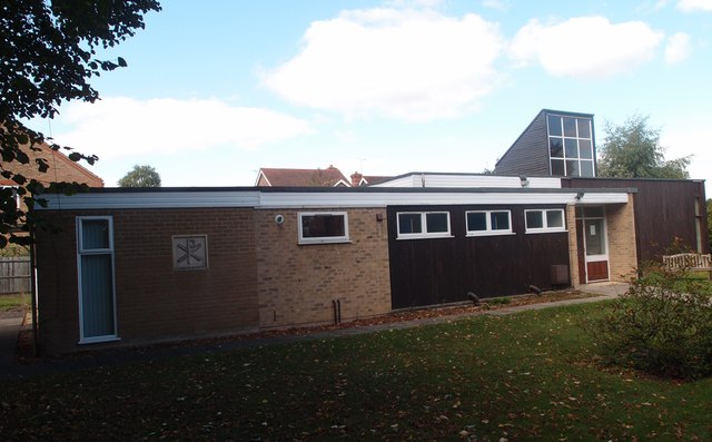
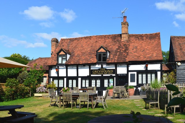
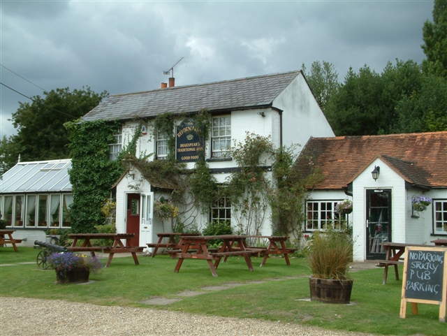
Gallowstree Common Images

Images are sourced within 2km of 51.516499/-1.010885 or Grid Reference SU6880. Thanks to Geograph Open Source API. All images are credited.

No Trace of The Fox This place now has no resemblance to earlier photos here.
Graham Horn's picture from 15 years ago shows the building which used to be on this site until a few years ago. Then it was a large pub "The Fox" <a href="https://www.geograph.org.uk/photo/348561">SU6779 : The Fox at Cane End</a>
A later picture of mine <a href="https://www.geograph.org.uk/photo/2083210">SU6779 : Palm Tree  (Ex Fox)</a> shows it as an Indian restaurant "The Palm Tree."  
In my caption at the time I wished them luck in this tricky out of town location.
Not to be. After yet another spell as a Thai restaurant the place finally closed its doors.
Now demolished and replaced by these new houses. The only clues are the pub style sign post which now carries the developer's name board and the new cul de sac which is called Fox Heath Gardens..
No Trace of The Fox
This place now has no resemblance to earlier photos here. Graham Horn's picture from 15 years ago shows the building which used to be on this site until a few years ago. Then it was a large pub "The Fox" SU6779 : The Fox at Cane End A later picture of mine SU6779 : Palm Tree (Ex Fox) shows it as an Indian restaurant "The Palm Tree." In my caption at the time I wished them luck in this tricky out of town location. Not to be. After yet another spell as a Thai restaurant the place finally closed its doors. Now demolished and replaced by these new houses. The only clues are the pub style sign post which now carries the developer's name board and the new cul de sac which is called Fox Heath Gardens..
Sonning Common The centre of this sprawling commuter village.  There is no obvious connection with the village of Sonning on the Thames, 8km to the south-east
Sonning Common
The centre of this sprawling commuter village. There is no obvious connection with the village of Sonning on the Thames, 8km to the south-east
Odd numbers : Even numbers Sedgefield Close of course.  Somehow at the time this sign just seemed odd.  Even now it still does.
Odd numbers : Even numbers
Sedgefield Close of course. Somehow at the time this sign just seemed odd. Even now it still does.
Orchard Avenue Typical residential street in Sonning Common.
Orchard Avenue
Typical residential street in Sonning Common.
Newfield Road South Oxfordshire District Council have erected many street name plates to this pattern incorporating their logo.  It looks wooden but in fact is a hardened plastic.
Newfield Road
South Oxfordshire District Council have erected many street name plates to this pattern incorporating their logo. It looks wooden but in fact is a hardened plastic.
Edge of Sonning Common The village stops abruptly at farmland.  There are oak trees nearby this last  property, but this one happens to be a silver birch.
Edge of Sonning Common
The village stops abruptly at farmland. There are oak trees nearby this last property, but this one happens to be a silver birch.
Footpath to Sonning Common One of those direct cross-field paths that still leads purposefully to its destination, Newfield Road in Sonning Common.
Footpath to Sonning Common
One of those direct cross-field paths that still leads purposefully to its destination, Newfield Road in Sonning Common.
The Greyhound Country pub / restaurant currently run by celeb-chef Anthony Worral Thompson.
The Greyhound
Country pub / restaurant currently run by celeb-chef Anthony Worral Thompson.
Old Copse, Sonning Common Beeches in the north of the wood which is managed by the Woodland Trust and has general public access in addition to the public footpaths.
Old Copse, Sonning Common
Beeches in the north of the wood which is managed by the Woodland Trust and has general public access in addition to the public footpaths.
Orchard Avenue, Sonning Common A typical scene in this large commuter village where most of the houses are post-war constructions.
Orchard Avenue, Sonning Common
A typical scene in this large commuter village where most of the houses are post-war constructions.
Church of Christ the King, Sonning Common Sonning Common's C of E church. It's not a parish church however. Although Sonning Common is a much larger village it's still officially part of Kidmore End parish.
The village itself is a fairly new community. As the name suggests, this was common land for the village of Sonning some distance away beside the Thames. At the time of the Civil War and later there were no settlements here at all. It remained an area of wood and heath until with the growth of Reading and improved transport the village began to develop. This accounts for why it appears more like a detached suburb in the country rather than a traditional old village.
Church of Christ the King, Sonning Common
Sonning Common's C of E church. It's not a parish church however. Although Sonning Common is a much larger village it's still officially part of Kidmore End parish. The village itself is a fairly new community. As the name suggests, this was common land for the village of Sonning some distance away beside the Thames. At the time of the Civil War and later there were no settlements here at all. It remained an area of wood and heath until with the growth of Reading and improved transport the village began to develop. This accounts for why it appears more like a detached suburb in the country rather than a traditional old village.
Corner of Lambourne Rd. Sonning Common Sonning Common is a village of recent origin and is primarily residential.
Corner of Lambourne Rd. Sonning Common
Sonning Common is a village of recent origin and is primarily residential.
The Greyhound
The Greyhound
The Hare and Hounds
The Hare and Hounds
Baskerville Road I can now reveal to a breathless world my part in creating the slight kink in this road. I owned the white painted bungalow on the right during the late 60's early 70's and initially the road was unadopted, gravel and full of large puddles. The council called a meeting announcing that they would adopt the road and tarmac it but everyone would lose a bit of front garden in the process. In their original plan properties on the right of the picture would have ended up with virtually no front garden at all, so after consultations with neighbours and the council we all agreed on the present, more equitable, sweep to the left.
Baskerville Road
I can now reveal to a breathless world my part in creating the slight kink in this road. I owned the white painted bungalow on the right during the late 60's early 70's and initially the road was unadopted, gravel and full of large puddles. The council called a meeting announcing that they would adopt the road and tarmac it but everyone would lose a bit of front garden in the process. In their original plan properties on the right of the picture would have ended up with virtually no front garden at all, so after consultations with neighbours and the council we all agreed on the present, more equitable, sweep to the left.
Christ the King, Sonning Common
The Greyhound, Rotherfield Peppard, Oxfordshire
The New Inn, Kidmore End
Show me another place!

Gallowstree Common is located at Grid Ref: SU6880 (Lat: 51.516499, Lng: -1.010885)

Administrative County: Oxfordshire

District: South Oxfordshire

Police Authority: Thames Valley

What 3 Words

///geek.terms.else. Near Sonning Common, Oxfordshire

Related Wikis

Gallowstree Common

Gallowstree Common is a hamlet in South Oxfordshire, England, about 4.5 miles (7.2 km) north of Reading, Berkshire. The village had a public house, the...

Kidmore End

Kidmore End is a village and civil parish in South Oxfordshire, centred 6 miles (10 km) NNW of Reading, Berkshire, an important regional centre of commerce...

Maiden Erlegh Chiltern Edge

Maiden Erlegh Chiltern Edge (formerly Chiltern Edge Community School) is a coeducational secondary school located in Sonning Common, Oxfordshire, England...

1947 Thames flood

The 1947 Thames flood was the most severe flood of the River Thames in the 20th century, affecting much of the Thames Valley as well as elsewhere in England...

Hook End Recording Studios

Hook End Recording Studios was a recording studio located in Hook End Manor, a 16th-century Elizabethan house near Checkendon, Oxfordshire, England. Its...

Wyfold Court

Wyfold Court is a country house at Rotherfield Peppard in south Oxfordshire. It is a Grade II* listed building. By the year 2000, the estate had been converted...

Kidmore House

Kidmore House is a Grade II* listed stately home in the village of Kidmore End, in Oxfordshire, England.It was built in 1680 and is described by Historic...

Sonning Common

Sonning Common is a village and civil parish in a relatively flat, former common land part of the Chiltern Hills in South Oxfordshire, centred 3.5 miles...

Nearby Amenities

Located within 500m of 51.516499,-1.010885
Created By: osmeditor2
Lat/Long: 51.5145329/-1.0123575
Created By: osmeditor2
Lat/Long: 51.5143231/-1.0128209
Created By: osmeditor2
Lat/Long: 51.5136167/-1.014085
Created By: osmeditor2
Lat/Long: 51.5132733/-1.0148633
Created By: osmeditor2
Lat/Long: 51.516765/-1.00391
Gallowstree Common
Created By: osmeditor2
Place: village
Wikidata: Q5519213
Lat/Long: 51.5163288/-1.0077452
Hazelmoor Lane
Naptan AtcoCode: 340001644CNR
Naptan Bearing: SW
Naptan BusStopType: CUS
Naptan CommonName: Hazelmoor Lane
Naptan Indicator: Corner
Naptan Landmark: Post Office
Naptan NaptanCode: oxfgdtgm
Naptan Street: Horsepond Rd
Naptan Verified: no
Source: naptan_import
Lat/Long: 51.516369/-1.0054503
Bus Stop
Hazelmoor Lane
Bus: yes
Naptan AtcoCode: 340001644OPP
Naptan Bearing: NE
Naptan BusStopType: CUS
Naptan CommonName: Hazelmoor Lane
Naptan Indicator: Opposite
Naptan Landmark: Post Office
Naptan NaptanCode: oxfgdtgj
Naptan Street: Horsepond Rd
Naptan Verified: no
Public Transport: platform
Source: naptan_import
Lat/Long: 51.5164233/-1.0054923
Parking
Lat/Long: 51.5169188/-1.0093668
The Reformation
Disused Amenity: pub
Lat/Long: 51.5164468/-1.0066347
Barrier: bollard
Lat/Long: 51.5175652/-1.0066499
Turning Circle
Turning Circle: square
Lat/Long: 51.5149806/-1.0087467
Direction: 225
Generator Method: photovoltaic
Generator Output Electricity: yes
Generator Solar Modules: 8
Generator Source: solar
Generator Type: solar_photovoltaic_panel
Location: roof
Power: generator
Lat/Long: 51.5161076/-1.0043564
The data included in this document is from www.openstreetmap.org. The data is made available under ODbL.

Have you been to Gallowstree Common?

Leave your review of Gallowstree Common below (or comments, questions and feedback).