Gallowhill
Settlement in Lanarkshire
Scotland
Gallowhill

Gallowhill is a small village located in the county of Lanarkshire, Scotland. Situated about 3 miles southeast of the town of Strathaven, Gallowhill is nestled in a picturesque rural setting, surrounded by rolling hills and farmland.
The village itself consists of a cluster of traditional stone cottages and a few modern houses, giving it a quaint and charming atmosphere. Gallowhill is known for its tight-knit community, with a population of around 300 residents who take great pride in their village.
Despite its small size, Gallowhill offers a range of amenities to its residents. These include a local primary school, a community center, and a small convenience store. The village also boasts a well-maintained park with a playground, providing recreational opportunities for both children and adults.
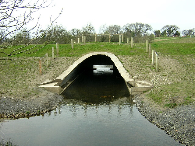
Nature enthusiasts will appreciate the natural beauty that surrounds Gallowhill. The village is located near the River Avon, which offers picturesque walks along its banks. Additionally, the nearby countryside provides ample opportunities for hiking, cycling, and exploring the great outdoors.
Transportation links to Gallowhill are convenient, with regular bus services connecting the village to nearby towns and cities. The village is also within close proximity to major road networks, making it easily accessible by car.
All in all, Gallowhill offers a peaceful and idyllic lifestyle, with its beautiful rural setting and strong sense of community. It is a place where residents can enjoy the tranquility of the countryside while still having access to essential amenities and nearby urban areas.
If you have any feedback on the listing, please let us know in the comments section below.
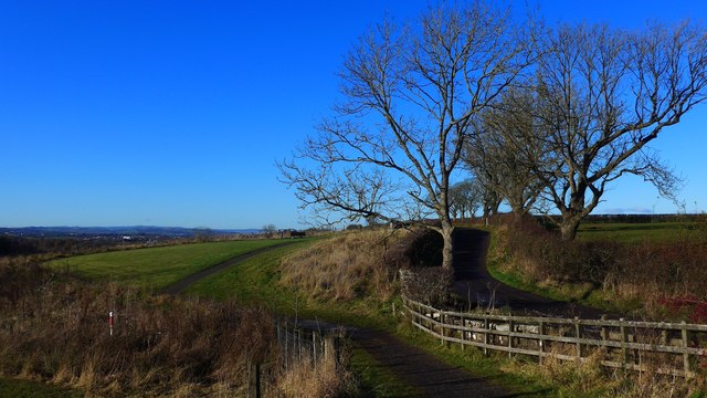
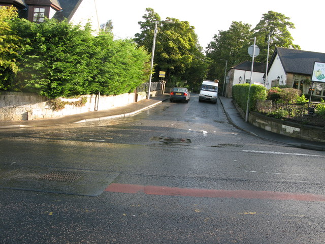
Gallowhill Images
Images are sourced within 2km of 55.785684/-4.2500697 or Grid Reference NS5957. Thanks to Geograph Open Source API. All images are credited.


Gallowhill is located at Grid Ref: NS5957 (Lat: 55.785684, Lng: -4.2500697)
Unitary Authority: City of Glasgow
Police Authority: Greater Glasgow
What 3 Words
///goal.maker.crowds. Near Carmunnock, Glasgow
Nearby Locations
Related Wikis
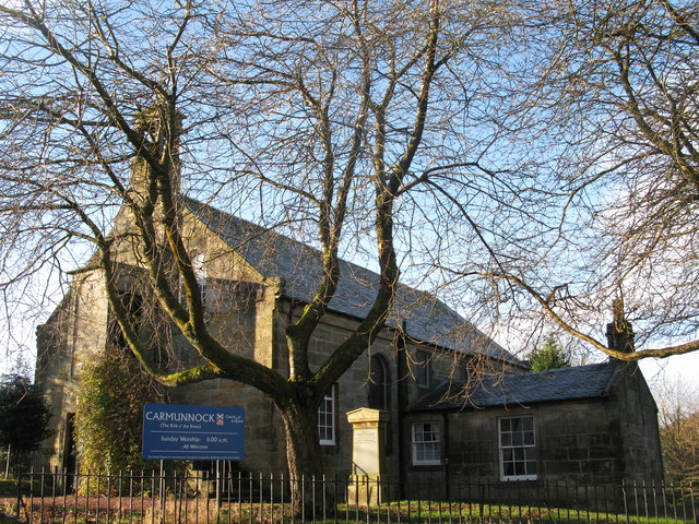
Carmunnock
Carmunnock (; Scottish Gaelic: Cathair Mhanach) is a conservation village situated within the Glasgow City council area, lying within three miles (five...
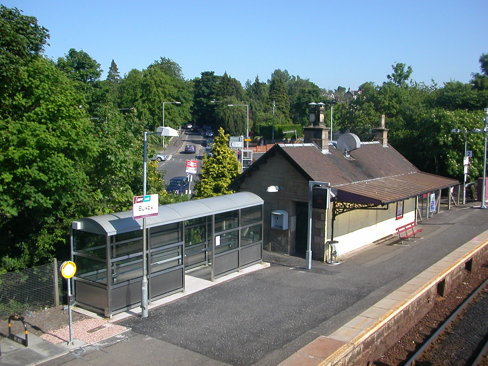
Busby railway station
Busby railway station is a railway station in the village of Busby, East Renfrewshire, Greater Glasgow, Scotland. The station is managed by ScotRail and...
Dams to Darnley Country Park
Dams to Darnley Country Park is a 1350 acre country park in East Renfrewshire and Glasgow, in Scotland comprising the historic greenspace between the towns...

Overlee Playing Fields
Overlee Playing Fields, commonly referred to as Overlee Park, is a public park in Stamperland, Clarkston, East Renfrewshire, south of Glasgow, Scotland...
Nearby Amenities
Located within 500m of 55.785684,-4.2500697Have you been to Gallowhill?
Leave your review of Gallowhill below (or comments, questions and feedback).