Gallowhill

Settlement in Renfrewshire

Scotland

Gallowhill

Renfrewshire Council Headquarters
Renfrewshire Council Headquarters Credit: G McK

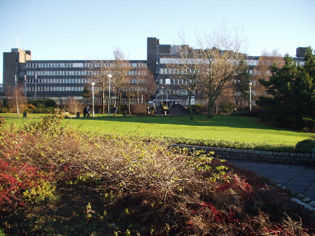
Gallowhill is a small residential area located in Renfrewshire, Scotland. Situated just south of the town of Paisley, Gallowhill is a predominantly residential area known for its peaceful atmosphere and close-knit community.

The area is characterized by rows of traditional Scottish houses, many of which have been well-preserved and maintained over the years. Gallowhill offers a mix of housing options, including detached and semi-detached houses, as well as some modern apartment buildings. The streets are lined with trees, creating a pleasant and green environment.

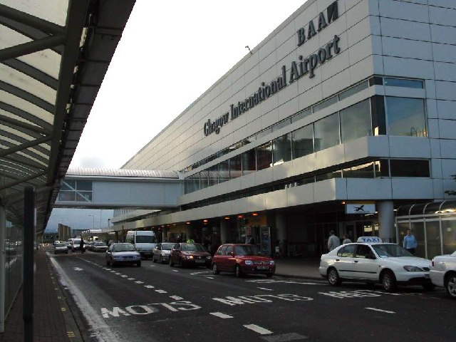
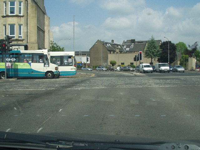
Residents of Gallowhill benefit from a range of amenities and facilities in the nearby town of Paisley. Within a short distance, there are several schools, both primary and secondary, catering to the educational needs of the local community. The area is also well-served by public transport, with regular bus services connecting Gallowhill to surrounding areas and the city of Glasgow.

In terms of leisure and recreation, residents can enjoy the nearby Barshaw Park, a large public park featuring beautiful gardens, a boating pond, and a children's play area. The park also hosts various events and festivals throughout the year, attracting visitors from the wider area.

Overall, Gallowhill offers a peaceful and family-friendly environment, with easy access to nearby amenities and recreational facilities. Its close proximity to Paisley and Glasgow makes it an attractive location for those seeking a quieter residential area within commuting distance of larger cities.

If you have any feedback on the listing, please let us know in the comments section below.
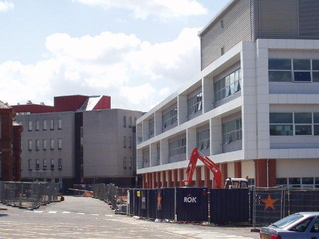
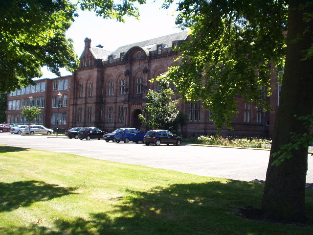
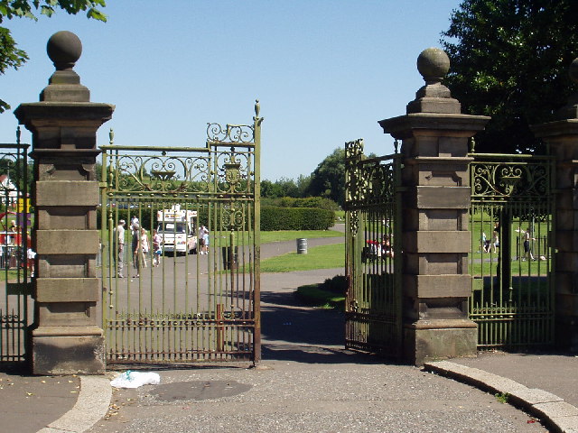
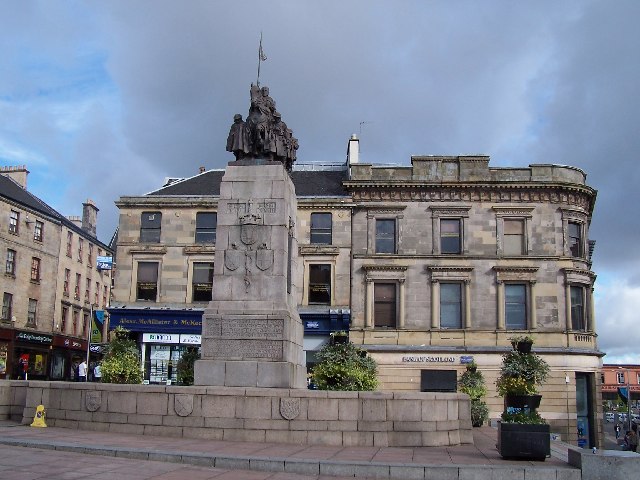
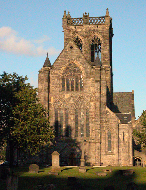
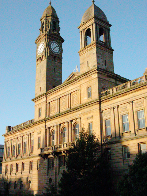
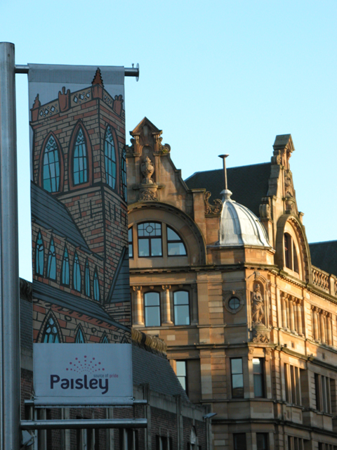
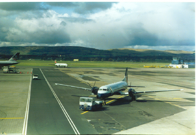
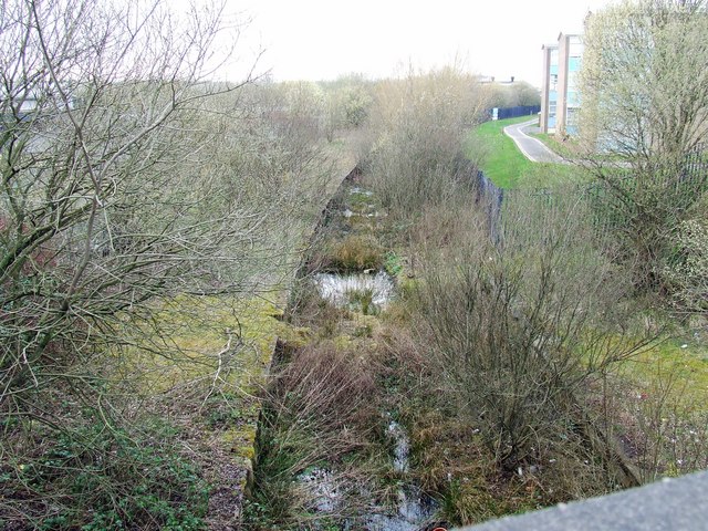
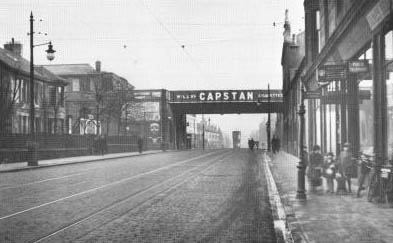
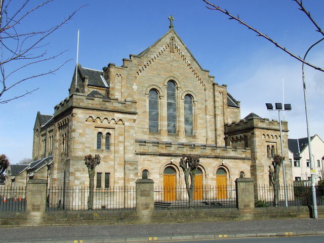
Gallowhill Images

Images are sourced within 2km of 55.855682/-4.407001 or Grid Reference NS4965. Thanks to Geograph Open Source API. All images are credited.

Renfrewshire Council Headquarters
Airport Terminal Building Glasgow International Airport
Airport
Terminal Building Glasgow International Airport
Central Paisley
Central Paisley
St Mirin Block, Reid Kerr College
The new teaching block, Reid Kerr College
Paisley Grammar School Glasgow Road, Paisley
Paisley Grammar School
Glasgow Road, Paisley
Barshaw Park, Paisley
Hawkhead Station, Paisley
War memorial, Paisley
Paisley Abbey View of the historic abbey from over the White Cart Water.
Paisley Abbey
View of the historic abbey from over the White Cart Water.
Paisley Town Hall View from St Mirren Street, across the White Cart Water.
Paisley Town Hall
View from St Mirren Street, across the White Cart Water.
Tenements Tenements at the top of Causeyside Street, Paisley, taken from St Mirren Street.
Tenements
Tenements at the top of Causeyside Street, Paisley, taken from St Mirren Street.
Embarking for Barra at Glasgow Airport The Twin Otter aircraft used on the Barra flight (where it lands on the beach with timetables to suit the tides) is tiny compared with the other passenger aircraft.
Embarking for Barra at Glasgow Airport
The Twin Otter aircraft used on the Barra flight (where it lands on the beach with timetables to suit the tides) is tiny compared with the other passenger aircraft.
Glasgow Airport The hills in the background are the Kilpatricks to the North.
Glasgow Airport
The hills in the background are the Kilpatricks to the North.
Glasgow Airport The freight handling area at the east side of Glasgow Airport. A welcome splash of colour on the scene. The building in the distance is the BOCM (British Oil and Cake Mills) Renfrew Mill which was demolished in October 2009 <a href="https://www.geograph.org.uk/photo/1524750">NS4866 : Demolition of Renfrew Mills</a>.
Glasgow Airport
The freight handling area at the east side of Glasgow Airport. A welcome splash of colour on the scene. The building in the distance is the BOCM (British Oil and Cake Mills) Renfrew Mill which was demolished in October 2009 NS4866 : Demolition of Renfrew Mills.
Glasgow Airport The British Airways hangar at the east side of Glasgow Airport.
Glasgow Airport
The British Airways hangar at the east side of Glasgow Airport.
Glasgow Airport The east side of Glasgow Airport. The now demolished tenement in the background stood on Inchinnan Road and has been replaced by industrial premises. I think that this machine is a Short's 360.
Glasgow Airport
The east side of Glasgow Airport. The now demolished tenement in the background stood on Inchinnan Road and has been replaced by industrial premises. I think that this machine is a Short's 360.
Ramada Hotel opposite Glasgow Airport.
Show me another place!

Gallowhill is located at Grid Ref: NS4965 (Lat: 55.855682, Lng: -4.407001)

Unitary Authority: Renfrewshire

Police Authority: Renfrewshire and Inverclyde

What 3 Words

///smiled.speak.hook. Near Renfrew, Renfrewshire

Nearby Locations

Gallowhill

Related Wikis

Gallowhill

Gallowhill is a housing estate in the north east of Paisley, a town in Renfrewshire, Scotland. Its approximate boundaries are formed by the M8 motorway...

Whitehaugh Oval

Whitehaugh Oval is a cricket ground in Paisley, Renfrewshire, Scotland. It has been the home ground of Kelburne Cricket Club since their previous ground...

Paisley Abercorn railway station

Paisley Abercorn railway station was a railway station in Paisley, Renfrewshire, Scotland. The station was built by the Glasgow and South Western railway...

Paisley Barracks

Paisley Barracks was a military installation in Paisley, Renfrewshire. == History == The infantry barracks, which were built on the south side of the Glasgow...

Paisley East railway station

Paisley East was an unopened railway station in Paisley, Renfrewshire, Scotland. == History == The station was originally part of the Paisley and Barrhead...

St Mirin's Academy

St Mirin's Academy was a Catholic senior secondary school for boys founded in 1922 in Paisley, Scotland, and which closed in 1976. The school was dedicated...

St Mirin's Cathedral

The Cathedral Church of Saint Mirin in Paisley, dedicated to Saint Mirin the patron saint of Paisley, is the mother church of the Catholic Diocese of Paisley...

Paisley Hamilton Street railway station

Paisley (Hamilton Street) railway station was an early railway station in Paisley, Renfrewshire, Scotland. It was built in 1837 by the Paisley and Renfrew...

Nearby Amenities

Located within 500m of 55.855682,-4.407001
Mini Roundabout
Direction: clockwise
Lat/Long: 55.855169/-4.3992177
Mini Roundabout
Direction: clockwise
Lat/Long: 55.8539157/-4.4007818
Turning Circle
Lat/Long: 55.8520725/-4.4057991
Turning Circle
Lat/Long: 55.8523473/-4.4048585
Traffic Calming: table
Lat/Long: 55.8537779/-4.4015199
Traffic Calming: table
Lat/Long: 55.8534478/-4.4031083
Traffic Calming: table
Lat/Long: 55.8531324/-4.4041978
Traffic Calming: table
Lat/Long: 55.8527727/-4.4048555
Mini Roundabout
Lat/Long: 55.85269/-4.4053185
Traffic Calming: table
Lat/Long: 55.8525058/-4.4058778
Traffic Calming: table
Lat/Long: 55.8522489/-4.4067201
Traffic Calming: table
Lat/Long: 55.8520607/-4.4072793
Turning Circle
Lat/Long: 55.8532949/-4.4096737
Post Box
Post Box Type: pillar
Postal Code: PA3
Ref: PA3 186
Lat/Long: 55.8530901/-4.4116506
Telephone
Booth: KX100
Covered: booth
Lat/Long: 55.8526792/-4.4121384
Turning Circle
Lat/Long: 55.8526798/-4.4087106
Turning Circle
Lat/Long: 55.8546477/-4.4060789
Turning Circle
Lat/Long: 55.8541275/-4.4066037
Bus Stop
Naptan AtcoCode: 6140272
Naptan NaptanCode: 73925243
Lat/Long: 55.856738/-4.4052264
Post Box
Lat/Long: 55.8594392/-4.4036646
Bus Stop
Lat/Long: 55.8540587/-4.403453
Bus Stop
Nat Ref: 6140277
Lat/Long: 55.8547342/-4.4009852
Bus Stop
Nat Ref: 6140279
Lat/Long: 55.8532642/-4.4013737
Bus Stop
Naptan AtcoCode: 6140266
Naptan NaptanCode: 73925297
Lat/Long: 55.8541243/-4.4096709
Bus Stop
Naptan AtcoCode: 6140268
Naptan NaptanCode: 73924273
Nat Ref: 6140268
Lat/Long: 55.8553849/-4.4073683
Bus Stop
Naptan AtcoCode: 6140273
Naptan NaptanCode: 73923696
Nat Ref: 6140273
Lat/Long: 55.8555629/-4.4059489
Bus Stop
Bus: yes
Public Transport: platform
Lat/Long: 55.859632/-4.4062878
Bus Stop
Bus: yes
Naptan AtcoCode: 6140271
Naptan NaptanCode: 73924724
Public Transport: platform
Lat/Long: 55.8578683/-4.404238
Noexit: yes
Lat/Long: 55.8514298/-4.4080137
Traffic Calming: table
Lat/Long: 55.8536956/-4.4022689
Crossing
Crossing: uncontrolled
Crossing Ref: zebra
Lat/Long: 55.8531797/-4.4116961
Railway: switch
Lat/Long: 55.8539031/-4.4025377
Railway: switch
Lat/Long: 55.8545361/-4.4000163
Railway: switch
Lat/Long: 55.8541193/-4.4016473
Gallowhill
Place: suburb
Lat/Long: 55.8566716/-4.4093449
Arkleston Junction
Railway: junction
Lat/Long: 55.8536906/-4.403478
Green Law Junction
Railway: junction
Lat/Long: 55.851741/-4.4091762
The data included in this document is from www.openstreetmap.org. The data is made available under ODbL.

Have you been to Gallowhill?

Leave your review of Gallowhill below (or comments, questions and feedback).