Rubha Gorm
Coastal Feature, Headland, Point in Argyllshire
Scotland
Rubha Gorm

Rubha Gorm, located in Argyllshire, Scotland, is a prominent coastal feature that is known for its stunning headland and picturesque point. Situated on the western coast, Rubha Gorm offers breathtaking views of the surrounding landscape and the vastness of the Atlantic Ocean.
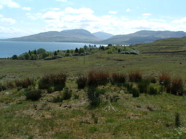
The headland of Rubha Gorm stretches out into the sea, forming a distinctive shape that is easily recognizable. Its rugged and rocky terrain adds to its charm and allure, attracting nature enthusiasts, hikers, and photographers alike.
The point of Rubha Gorm is marked by a lighthouse, which serves as a navigational aid for ships sailing along the Scottish coast. The lighthouse, with its distinct red and white stripes, has been guiding vessels safely for many years, adding historical significance to the area.
The coastal cliffs surrounding Rubha Gorm are home to an array of bird species, making it a popular spot for birdwatchers. Visitors can spot seabirds, such as puffins, guillemots, and razorbills, nesting and flying around the cliffs, creating a vibrant and lively atmosphere.
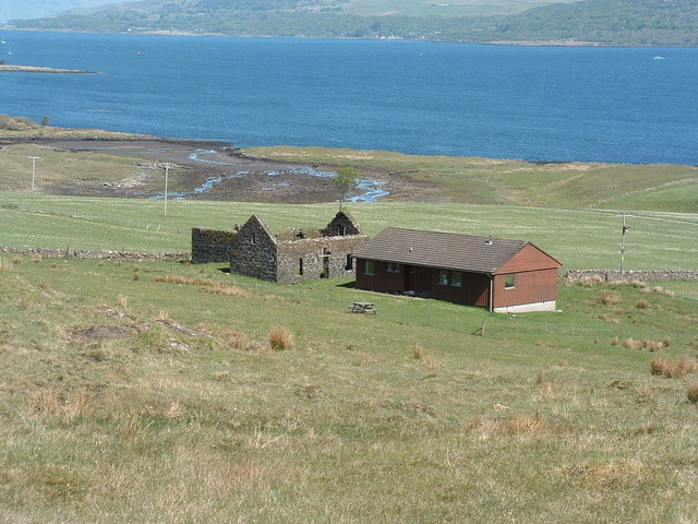
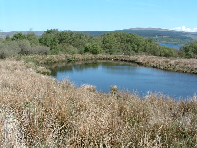
The surrounding area of Rubha Gorm is characterized by a mixture of rugged coastline, sandy beaches, and rolling hills. It offers opportunities for outdoor activities such as hiking, fishing, and wildlife spotting. The nearby Loch Fyne is also renowned for its seafood, providing visitors with a chance to indulge in fresh and delicious local cuisine.
Overall, Rubha Gorm in Argyllshire is a coastal gem that showcases the natural beauty of Scotland's western coast. Its headland, point, and surrounding landscape offer a diverse range of experiences, making it a must-visit destination for nature lovers and adventure seekers.
If you have any feedback on the listing, please let us know in the comments section below.
Rubha Gorm Images
Images are sourced within 2km of 56.556598/-5.9740414 or Grid Reference NM5547. Thanks to Geograph Open Source API. All images are credited.
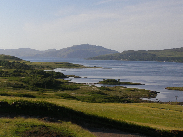
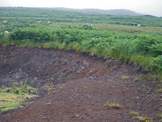
![Shoreline north of Aros Standing within a few metres of the grid line, with the shoreline to the right in NM5546 and the more distant shore in this square [NM5646].](https://s2.geograph.org.uk/geophotos/03/38/86/3388634_1bf8e412.jpg)


Rubha Gorm is located at Grid Ref: NM5547 (Lat: 56.556598, Lng: -5.9740414)
Unitary Authority: Argyll and Bute
Police Authority: Argyll and West Dunbartonshire
What 3 Words
///typified.season.task. Near Salen, Argyll & Bute
Nearby Locations
Related Wikis
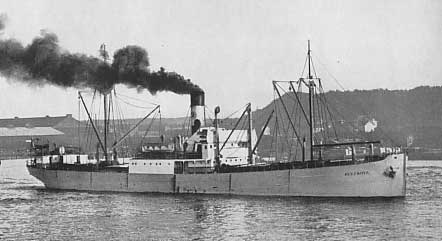
SS Hispania (1912)
SS Hispania was a Swedish 1,323 GRT triple-expansion engine steamer built in Belgium in 1912. She sank in the Sound of Mull on 18 December 1954 after striking...

Aros Castle
Aros Castle, also known as Dounarwyse Castle, is a ruined 13th-century castle near Salen on the Isle of Mull, Scotland. The castle overlooks the Sound...
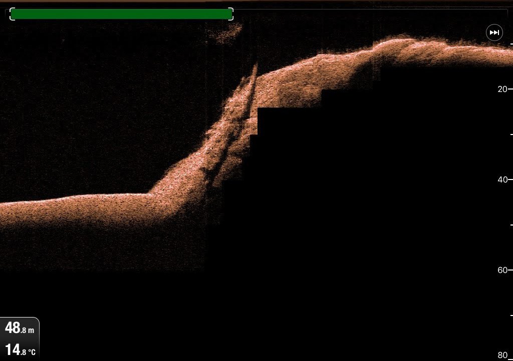
SS Rondo
SS Rondo was a steam cargo ship. She was built by Tampa Shipbuilding & Drydock Company of Florida for the British government under the name War Wonder...

Salen, Mull
Salen (Scottish Gaelic: An t-Sàilean) is a settlement on the Isle of Mull, Scotland. It is on the east coast of the island, on the Sound of Mull, approximately...
Nearby Amenities
Located within 500m of 56.556598,-5.9740414Have you been to Rubha Gorm?
Leave your review of Rubha Gorm below (or comments, questions and feedback).