Rubha Mòr

Coastal Feature, Headland, Point in Argyllshire

Scotland

Rubha Mòr

The track to Langamull The track that leads down to Langamull and the beach at Port Langamull
The track to Langamull Credit: Peter Evans

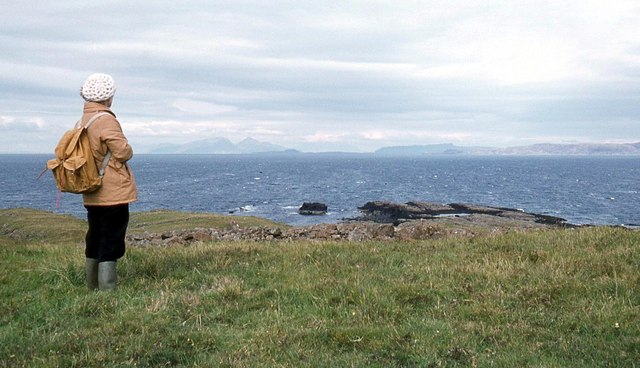
Rubha Mòr, located in Argyllshire, Scotland, is a prominent coastal feature known for its stunning headland and picturesque point. Situated on the western coast of Scotland, Rubha Mòr offers breathtaking views of the surrounding landscape, making it a popular destination for nature lovers and outdoor enthusiasts.

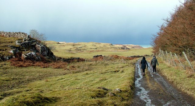
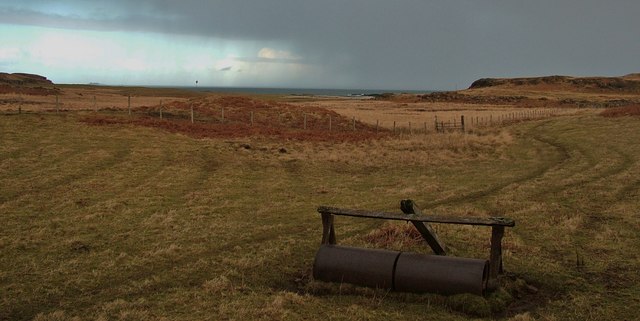
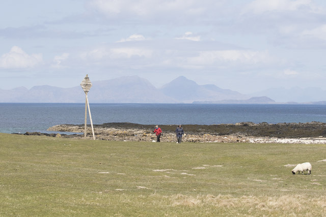
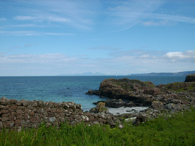
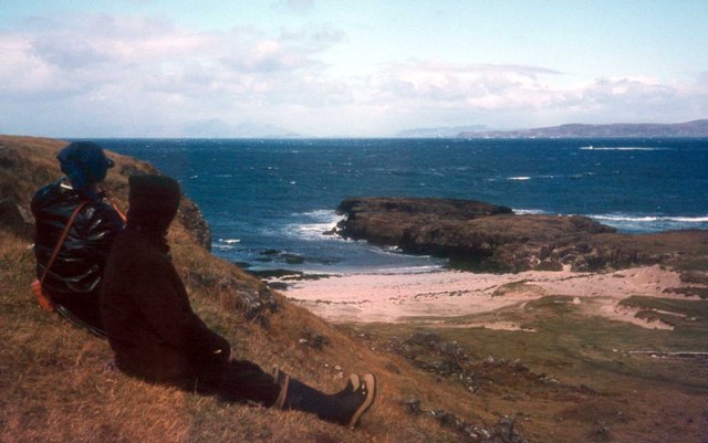
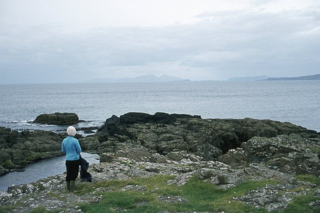
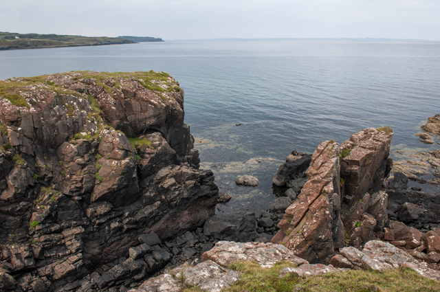
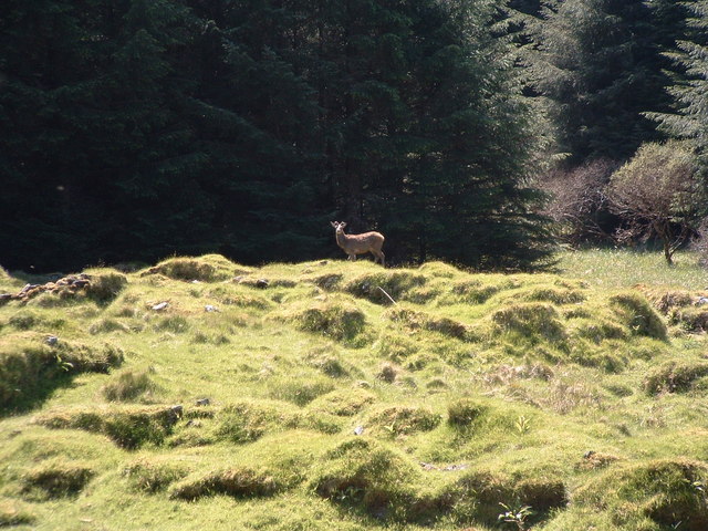
The headland of Rubha Mòr juts out into the North Atlantic Ocean, providing visitors with panoramic vistas of the sea and the rugged coastline. The point itself is characterized by its rocky terrain, which is adorned with vibrant green vegetation, creating a striking contrast against the deep blue waters. The coastline is also home to a diverse range of seabirds, including gulls, cormorants, and puffins, adding to the area's natural beauty and charm.

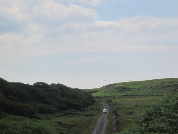
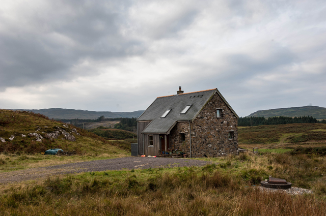
Access to Rubha Mòr is relatively easy, with a well-maintained footpath leading visitors to the headland and point. Along the way, there are several lookout points and benches where visitors can pause and take in the breathtaking scenery. The area is also rich in history, with remnants of ancient settlements and ruins of old buildings scattered throughout the landscape.

Rubha Mòr's location on the western coast of Scotland means it is subject to the unpredictable weather conditions of the North Atlantic. Visitors should come prepared with suitable clothing and footwear, as the area can experience strong winds and rain.

Overall, Rubha Mòr is a captivating coastal feature that offers visitors a unique and unforgettable experience. Its headland and point, combined with its natural beauty and historical significance, make it a must-visit location for anyone exploring the Argyllshire region.

If you have any feedback on the listing, please let us know in the comments section below.

Rubha Mòr Images

Images are sourced within 2km of 56.609153/-6.2402053 or Grid Reference NM3954. Thanks to Geograph Open Source API. All images are credited.

The track to Langamull The track that leads down to Langamull and the beach at Port Langamull
The track to Langamull
The track that leads down to Langamull and the beach at Port Langamull
Path to Langamull beach An abandoned flat-roll alongside the path to Langamull beach, North-West Mull, with a sleet/snow storm blowing in off the sea.
Path to Langamull beach
An abandoned flat-roll alongside the path to Langamull beach, North-West Mull, with a sleet/snow storm blowing in off the sea.
Langamull beach, North-West Mull Langamull beach, North-West Mull, February 2016
Langamull beach, North-West Mull
Langamull beach, North-West Mull, February 2016
Langamull beach, North-West Mull Langamull beach, North-west Mull
Langamull beach, North-West Mull
Langamull beach, North-west Mull
Langamull beach, North-West Mull View South-West across Langamull beach, Mull.
Langamull beach, North-West Mull
View South-West across Langamull beach, Mull.
Langamull beach looking across to Coll Blue skies view across to Coll from Langamull beach, North-west Mull
Langamull beach looking across to Coll
Blue skies view across to Coll from Langamull beach, North-west Mull
Langamull view out to Skye The view out from Langamull past Rum and Muck to the distant Skye.
Langamull view out to Skye
The view out from Langamull past Rum and Muck to the distant Skye.
Above Croig Beach We are just above Croig beach - a sandy beach with rocky outcrops.
Above Croig Beach
We are just above Croig beach - a sandy beach with rocky outcrops.
Road towards B&B
Road towards B&B
Overlooking Beach near Croig, Mull Looking over lovely scheduled beach near Croig, Mull.  Rum in the far distance
Overlooking Beach near Croig, Mull
Looking over lovely scheduled beach near Croig, Mull. Rum in the far distance
Port na Bà, the port of the cattle Rum, Eigg and Ardnamurchan point in the distance
Port na Bà, the port of the cattle
Rum, Eigg and Ardnamurchan point in the distance
Rubha na h-Àirde The view is north to the Small Isles
Rubha na h-Àirde
The view is north to the Small Isles
Rubha na h-Àirde
Rubha na h-Àirde
Sea Cliffs at Rubha an h-Airde
House at Aird A quite new development which looks like a holiday let at Aird on the track to Rubha an h-Airde
House at Aird
A quite new development which looks like a holiday let at Aird on the track to Rubha an h-Airde
Dun Mhadaidh Not much evidence of any sort of habitation but the hill itself.
Dun Mhadaidh
Not much evidence of any sort of habitation but the hill itself.
Kildavie Remains of settlement now surrounded by forestry. I'd wandered around for a bit then found a bit of higher ground to take the picture from, only then did I realise I wasn't alone.
Kildavie
Remains of settlement now surrounded by forestry. I'd wandered around for a bit then found a bit of higher ground to take the picture from, only then did I realise I wasn't alone.
My deer friend After a minute or so, long enough to get this shot, it turned and wandered off through the trees.
My deer friend
After a minute or so, long enough to get this shot, it turned and wandered off through the trees.
Show me another place!

Rubha Mòr is located at Grid Ref: NM3954 (Lat: 56.609153, Lng: -6.2402053)

Unitary Authority: Argyll and Bute

Police Authority: Argyll and West Dunbartonshire

What 3 Words

///storyline.deodorant.ambitions. Near Calgary, Argyll & Bute

Related Wikis

Calgary, Mull

Calgary is a hamlet on the northwest coast of the Isle of Mull, in Argyll and Bute, Scotland, United Kingdom. The hamlet is within the parish of Kilninian...

Calgary Castle

Calgary Castle, also known as Calgary House, is a 19th-century castellated Gothic mansion at Calgary on the Isle of Mull, Scotland. The mansion faces Calgary...

Dervaig

Dervaig (Scottish Gaelic: Dearbhaig) is a small village on the Isle of Mull off the west coast of Scotland. The village is within the parish of Kilninian...

Glengorm Castle

Glengorm Castle, also known as Castle Sorn, is a 19th-century country house on the Isle of Mull, Scotland. Located in Mishnish, 6 kilometres (4 mi) northwest...

Eas Fors

Eas Fors is a waterfall on the island of Mull in Scotland. It is situated on the Ardow Burn south of Dervaig. There is another Eas Fors on the Allt an...

RMS Aurania (1916)

RMS Aurania was an ocean liner owned by the Cunard Line. She was built in 1916 at Wallsend and measured 13,936 gross register tons. The Aurania was the...

Torloisk House

Torloisk House (sometimes referred to as Torluck House in 19th century references) on the Isle of Mull, Argyll in Scotland was the family seat held by...

Battle of Bloody Bay

The Battle of Bloody Bay, or Blàr Bàgh na Fala in Scottish Gaelic, was a naval battle fought near Tobermory, Scotland. It was fought on the coast of Mull...

Nearby Amenities

Located within 500m of 56.609153,-6.2402053
Power: pole
Lat/Long: 56.6075774/-6.2471543
Power: pole
Lat/Long: 56.6070432/-6.2463815
Power: pole
Lat/Long: 56.6070818/-6.2449554
Power: pole
Lat/Long: 56.6071135/-6.2437024
Power: pole
Lat/Long: 56.6071373/-6.2427235
Power: pole
Lat/Long: 56.6071566/-6.2414025
Power: pole
Lat/Long: 56.607185/-6.2399908
Power: pole
Lat/Long: 56.6072167/-6.2384967
Power: pole
Lat/Long: 56.6065816/-6.2379774
Power: pole
Lat/Long: 56.6059101/-6.2374354
Power: pole
Lat/Long: 56.6051853/-6.2372437
The data included in this document is from www.openstreetmap.org. The data is made available under ODbL.

Have you been to Rubha Mòr?

Leave your review of Rubha Mòr below (or comments, questions and feedback).