Rubha nan Cudaigean

Coastal Feature, Headland, Point in Inverness-shire

Scotland

Rubha nan Cudaigean

Roofless Ruin at Lyndale, Isle of Skye At a sheltered location on the north coast of Skye, Scotland.
Roofless Ruin at Lyndale, Isle of Skye Credit: Andrew Tryon

Rubha nan Cudaigean is a notable coastal feature located in Inverness-shire, Scotland. As a headland or point, it juts out into the North Atlantic Ocean, providing stunning views of the surrounding landscape and the sea. The name "Rubha nan Cudaigean" is derived from Scottish Gaelic, roughly translating to "Point of the Little Hoods."

Situated in the western part of Inverness-shire, Rubha nan Cudaigean stands tall with rugged cliffs and rocky outcrops, making it a prominent and visually striking landmark. The headland is known for its dramatic and picturesque scenery, characterized by steep slopes covered in lush green vegetation, contrasting against the deep blue waters of the ocean.

The headland serves as an important geographical feature, acting as a natural barrier against the powerful waves and winds that come from the Atlantic Ocean. This makes Rubha nan Cudaigean a popular spot for nature lovers and outdoor enthusiasts, who visit to enjoy its serene and untouched environment.

The area surrounding Rubha nan Cudaigean is rich in wildlife, providing a haven for various species of birds, including seagulls, puffins, and cormorants. Visitors can often witness these birds in their natural habitat, soaring above the cliffs or nesting along the rocky shores. The headland is also known for its diverse marine life, with occasional sightings of seals and dolphins.

Whether it's for the breathtaking views, the opportunity to observe wildlife, or simply to experience the untamed beauty of the Scottish coast, Rubha nan Cudaigean offers a memorable and captivating experience for all who venture to this coastal gem in Inverness-shire.

If you have any feedback on the listing, please let us know in the comments section below.

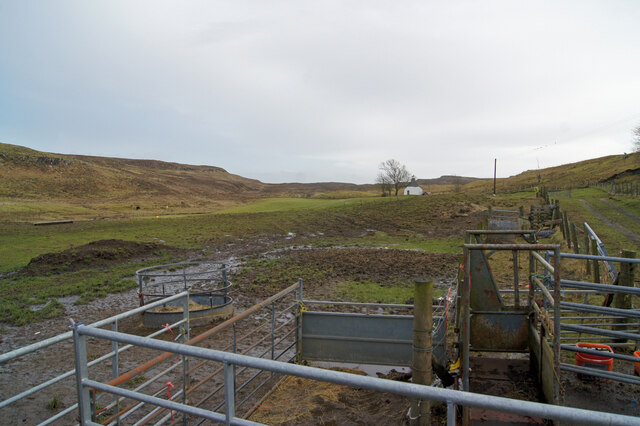
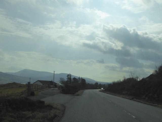
Rubha nan Cudaigean Images

Images are sourced within 2km of 57.50397/-6.3686191 or Grid Reference NG3854. Thanks to Geograph Open Source API. All images are credited.

Roofless Ruin at Lyndale, Isle of Skye At a sheltered location on the north coast of Skye, Scotland.
Roofless Ruin at Lyndale, Isle of Skye
At a sheltered location on the north coast of Skye, Scotland.
Croft land, Suledale Looking south from the end of the public road. The one cottage visible can only be accessed via a grassy track.
Croft land, Suledale
Looking south from the end of the public road. The one cottage visible can only be accessed via a grassy track.
Suledale Looking north from the rather muddy end of the public road.
Suledale
Looking north from the rather muddy end of the public road.
Suledale Looking south down the township road.
Suledale
Looking south down the township road.
Road to Suledale This minor dead-end road serves the small township of Suledale.
The water is the Allt an Lòin Ruaidh.
Road to Suledale
This minor dead-end road serves the small township of Suledale. The water is the Allt an Lòin Ruaidh.
Camas Mòr—A roofless ruin and an exclusive 'Boathouse' retreat For more info. on the ruins see ‘Skye, Lyndale House | Canmore’. 2023. Canmore.org.uk <<span class="nowrap"><a title="https://canmore.org.uk/site/114718/skye-lyndale-house" rel="nofollow ugc noopener" href="https://canmore.org.uk/site/114718/skye-lyndale-house">Link</a><img style="margin-left:2px;" alt="External link" title="External link - shift click to open in new window" src="https://s1.geograph.org.uk/img/external.png" width="10" height="10"/></span> > [accessed 21 July 2023]
Camas Mòr—A roofless ruin and an exclusive 'Boathouse' retreat
For more info. on the ruins see ‘Skye, Lyndale House | Canmore’. 2023. Canmore.org.uk <LinkExternal link > [accessed 21 July 2023]
Ewes & lambs seeking solace in gorse shade
A deserted township reflected by the peculiar absence of bracken on the buildings' elevated walls For more info see ‘Skye, Lyndale Point | Canmore’. 2023. Canmore.org.uk &amp;lt;&lt;span class=&quot;nowrap&quot;&gt;&lt;a title=&quot;https://canmore.org.uk/site/114717/skye-lyndale-point&quot; rel=&quot;nofollow ugc noopener&quot; href=&quot;https://canmore.org.uk/site/114717/skye-lyndale-point&quot;&gt;Link&lt;/a&gt;&lt;img style=&quot;margin-left:2px;&quot; alt=&quot;External link&quot; title=&quot;External link - shift click to open in new window&quot; src=&quot;https://s1.geograph.org.uk/img/external.png&quot; width=&quot;10&quot; height=&quot;10&quot;/&gt;&lt;/span&gt; &amp;gt; [accessed 21 July 2023]
A deserted township reflected by the peculiar absence of bracken on the buildings' elevated walls
For more info see ‘Skye, Lyndale Point | Canmore’. 2023. Canmore.org.uk <LinkExternal link > [accessed 21 July 2023]
A850 near Lyndale, Isle of Skye
A850 near Tayinloan Lodge
A850 at Treaslane, Isle of Skye
Changes to the old road A gate now discourages access along this section of old road which leads into Brookside. A number of new dwellings have been built off the road in the last few years, and on the right is access to a further plot which is currently for sale.
Changes to the old road
A gate now discourages access along this section of old road which leads into Brookside. A number of new dwellings have been built off the road in the last few years, and on the right is access to a further plot which is currently for sale.
Ruin at Kingsburgh Photographed 12 years earlier in &lt;a href=&quot;https://www.geograph.org.uk/photo/676202&quot;&gt;NG3955 : Abandoned house at Kingsburgh&lt;/a&gt;. It had suffered a lot of degradation in the interim.
Ruin at Kingsburgh
Photographed 12 years earlier in NG3955 : Abandoned house at Kingsburgh. It had suffered a lot of degradation in the interim.
End of the Ben Uigshader track The track here reaches its junction with the A850 at Lynedale.
End of the Ben Uigshader track
The track here reaches its junction with the A850 at Lynedale.
Pasture at Lyndale, Skye Looking across the sea of the Hebrides towards the Western Isles.
Pasture at Lyndale, Skye
Looking across the sea of the Hebrides towards the Western Isles.
A87 near Kingsburgh
A87 near Kingsburgh
A87 north of Romesdal
A87 The A87 runs 99 miles from Invergarry to Uig on the Isle of Skye &lt;a href=&quot;https://www.geograph.org.uk/photo/7374675&quot;&gt;NG3863 : End of the A87, Uig&lt;/a&gt;.
&lt;span class=&quot;nowrap&quot;&gt;&lt;a title=&quot;https://www.sabre-roads.org.uk/wiki/index.php?title=A87&quot; rel=&quot;nofollow ugc noopener&quot; href=&quot;https://www.sabre-roads.org.uk/wiki/index.php?title=A87&quot;&gt;Link&lt;/a&gt;&lt;img style=&quot;margin-left:2px;&quot; alt=&quot;External link&quot; title=&quot;External link - shift click to open in new window&quot; src=&quot;https://s1.geograph.org.uk/img/external.png&quot; width=&quot;10&quot; height=&quot;10&quot;/&gt;&lt;/span&gt;
A87
The A87 runs 99 miles from Invergarry to Uig on the Isle of Skye NG3863 : End of the A87, Uig. LinkExternal link
Show me another place!

Rubha nan Cudaigean is located at Grid Ref: NG3854 (Lat: 57.50397, Lng: -6.3686191)

Unitary Authority: Highland

Police Authority: Highlands and Islands

What 3 Words

///reshaping.roosters.gurgling. Near Uig, Highland

Nearby Locations

Rubha nan Cudaigean

Related Wikis

Kingsburgh, Skye

Kingsburgh (Gaelic: Cinnseaborgh) is a scattered crofting township, overlooking Loch Snizort Beag on the Trotternish peninsula of the Isle of Skye in...

Suladale

Suladale or Suledale (Scottish Gaelic: Sùladal) is a small mixed crofting hamlet of fewer than a dozen houses, located near Edinbane, on the north of...

Treaslane

Treaslane (Scottish Gaelic: Triaslann) is a small remote scattered crofting hamlet on the Isle of Skye, Scotland. It overlooks the western entrance to...

Snizort

Snizort (Scottish Gaelic: Snìosort) is an area of the Isle of Skye comprising the head of Loch Snizort and the western coast of Trotternish up to Uig,...

Nearby Amenities

Located within 500m of 57.50397,-6.3686191
Created By: dmgroom_coastlines
Source: PGS
Lat/Long: 57.50132/-6.3623
Created By: dmgroom_coastlines
Source: PGS
Lat/Long: 57.50184/-6.36249
Created By: dmgroom_coastlines
Source: PGS
Lat/Long: 57.50237/-6.36293
Created By: dmgroom_coastlines
Source: PGS
Lat/Long: 57.50263/-6.36339
Created By: dmgroom_coastlines
Source: PGS
Lat/Long: 57.50289/-6.36384
Created By: dmgroom_coastlines
Source: PGS
Lat/Long: 57.50341/-6.36428
Created By: dmgroom_coastlines
Source: PGS
Lat/Long: 57.50368/-6.36474
Created By: dmgroom_coastlines
Source: PGS
Lat/Long: 57.50394/-6.36521
Created By: dmgroom_coastlines
Source: PGS
Lat/Long: 57.50421/-6.36565
Created By: dmgroom_coastlines
Source: PGS
Lat/Long: 57.50447/-6.36587
Created By: dmgroom_coastlines
Source: PGS
Lat/Long: 57.50463/-6.36729
Created By: dmgroom_coastlines
Source: PGS
Lat/Long: 57.5048/-6.36918
Created By: dmgroom_coastlines
Source: PGS
Lat/Long: 57.50531/-6.36913
Created By: dmgroom_coastlines
Source: PGS
Lat/Long: 57.50533/-6.37009
Created By: dmgroom_coastlines
Source: PGS
Lat/Long: 57.50482/-6.37037
Created By: dmgroom_coastlines
Source: PGS
Lat/Long: 57.50381/-6.37092
Created By: dmgroom_coastlines
Source: PGS
Lat/Long: 57.50305/-6.37145
Created By: dmgroom_coastlines
Source: PGS
Lat/Long: 57.50279/-6.37194
Created By: dmgroom_coastlines
Source: PGS
Lat/Long: 57.50205/-6.37247
Created By: dmgroom_coastlines
Source: PGS
Lat/Long: 57.5018/-6.37272
Created By: dmgroom_coastlines
Source: PGS
Lat/Long: 57.50185/-6.3751
Created By: dmgroom_coastlines
Source: PGS
Lat/Long: 57.5021/-6.37485
Created By: dmgroom_coastlines
Source: PGS
Lat/Long: 57.50235/-6.37483
Created By: dmgroom_coastlines
Source: PGS
Lat/Long: 57.50287/-6.37527
Created By: dmgroom_coastlines
Source: PGS
Lat/Long: 57.50313/-6.37526
Created By: dmgroom_coastlines
Source: PGS
Lat/Long: 57.50339/-6.37523
Created By: dmgroom_coastlines
Source: PGS
Lat/Long: 57.50467/-6.37561
Created By: dmgroom_coastlines
Source: PGS
Lat/Long: 57.50519/-6.37557
Created By: dmgroom_coastlines
Source: PGS
Lat/Long: 57.50544/-6.37556
Created By: dmgroom_coastlines
Source: PGS
Lat/Long: 57.50596/-6.37599
The data included in this document is from www.openstreetmap.org. The data is made available under ODbL.

Have you been to Rubha nan Cudaigean?

Leave your review of Rubha nan Cudaigean below (or comments, questions and feedback).