Dr Johnson's Head
Coastal Feature, Headland, Point in Cornwall
England
Dr Johnson's Head
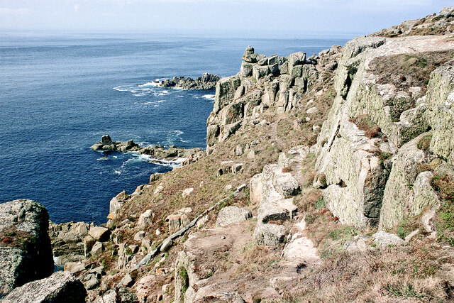
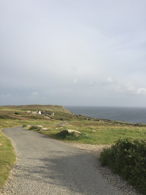
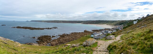
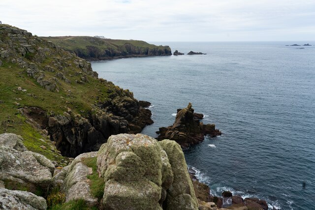
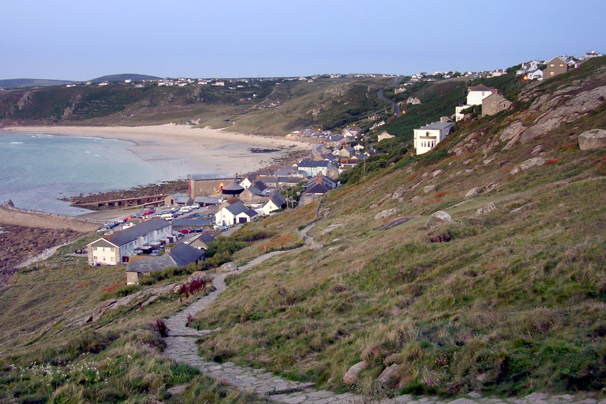
Dr Johnson's Head is a prominent headland located along the coast of Cornwall in the southwest of England. Named after the famous English writer and lexicographer Samuel Johnson, this coastal feature offers stunning views of the surrounding cliffs and sea.
The headland is characterized by rugged cliffs that rise dramatically from the sea, creating a dramatic and picturesque landscape. Visitors can enjoy walking along the coastal paths that wind around the headland, taking in the breathtaking views of the Atlantic Ocean and the surrounding countryside.
Dr Johnson's Head is a popular spot for birdwatching, with a variety of seabirds and other wildlife often spotted in the area. The headland is also a great place for outdoor activities such as hiking, rock climbing, and picnicking.
Overall, Dr Johnson's Head is a beautiful and scenic coastal feature that offers visitors a chance to experience the natural beauty of Cornwall's coastline. Its dramatic cliffs, stunning views, and abundance of wildlife make it a must-visit destination for nature lovers and outdoor enthusiasts.
If you have any feedback on the listing, please let us know in the comments section below.
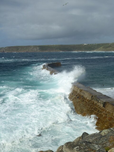
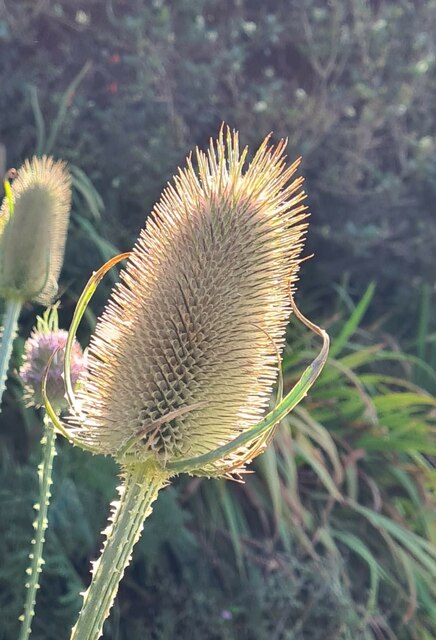
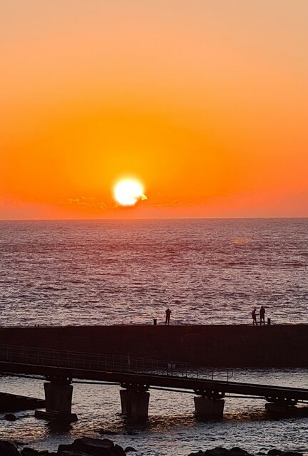
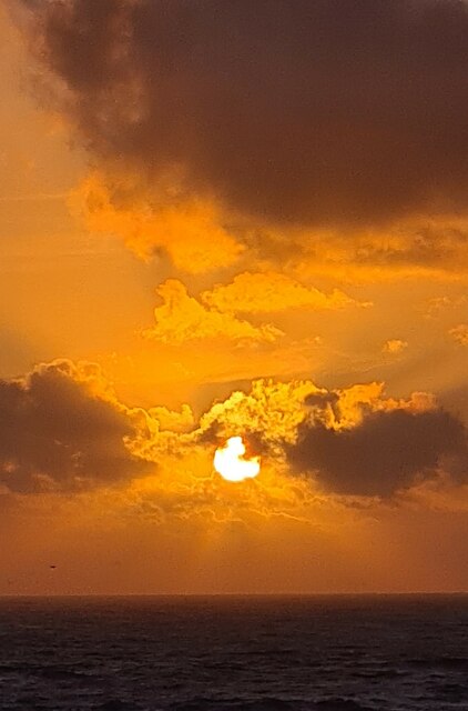
Dr Johnson's Head Images
Images are sourced within 2km of 50.06599/-5.7153695 or Grid Reference SW3425. Thanks to Geograph Open Source API. All images are credited.


Dr Johnson's Head is located at Grid Ref: SW3425 (Lat: 50.06599, Lng: -5.7153695)
Unitary Authority: Cornwall
Police Authority: Devon and Cornwall
What 3 Words
///marinated.melon.chucks. Near Sennen, Cornwall
Nearby Locations
Related Wikis

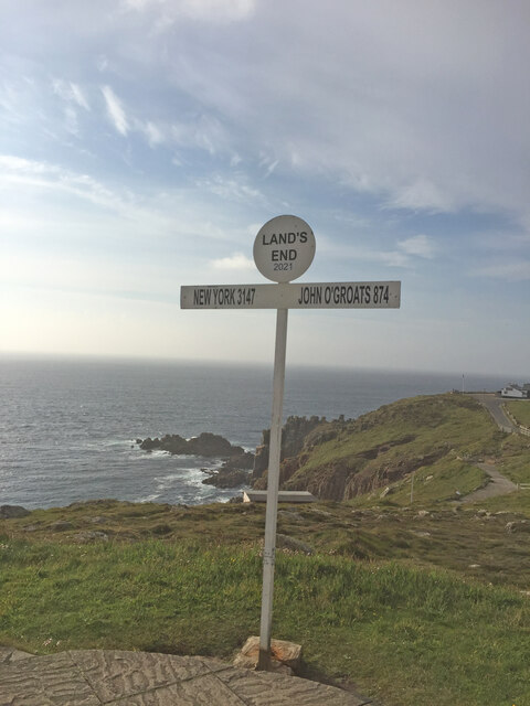
Land's End
Land's End (Cornish Standard Written Form: Penn an Wlas or Pedn an Wlas) is a headland and tourist and holiday complex in western Cornwall, England, United...

Maen Castle
Maen Castle is an Iron Age promontory fort or 'cliff castle' close to Land's End in Cornwall. It is one of only two fortified sites in Cornwall where...

MV RMS Mulheim
The RMS Mülheim was a German cargo ship that was built in Romania and launched in May 1999. It was wrecked on 22 March 2003 at Land's End, United Kingdom...
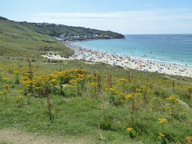
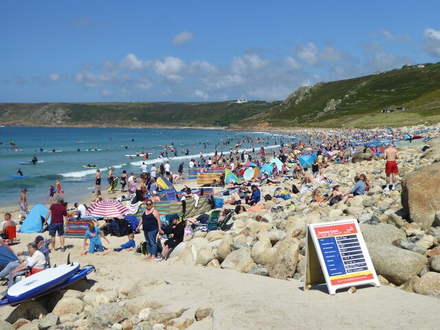
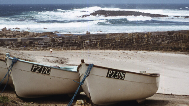
Sennen Cove
Sennen Cove (Cornish: Porthsenen) (grid reference SW352261) is a small coastal village in the parish of Sennen in Cornwall, England, United Kingdom. According...
Nearby Amenities
Located within 500m of 50.06599,-5.7153695Have you been to Dr Johnson's Head?
Leave your review of Dr Johnson's Head below (or comments, questions and feedback).