Gailey Wharf
Settlement in Staffordshire South Staffordshire
England
Gailey Wharf
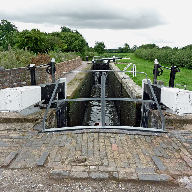
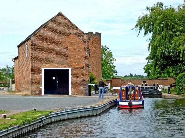
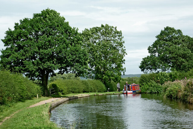
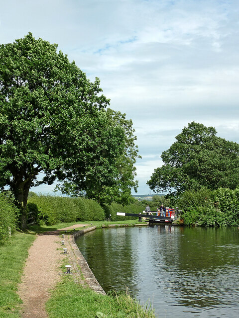
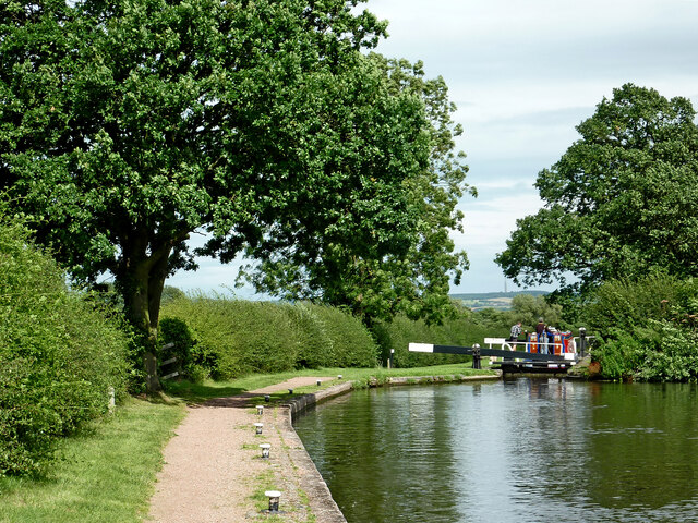
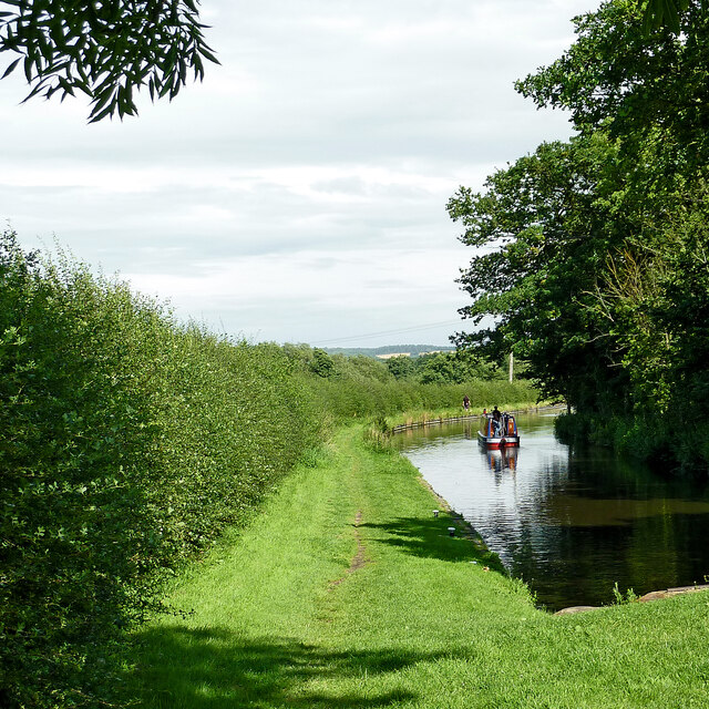
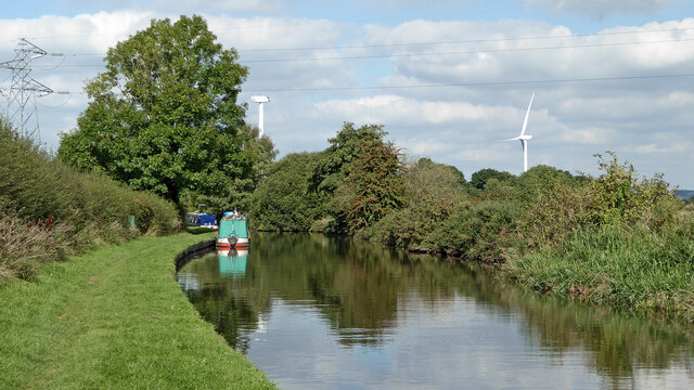
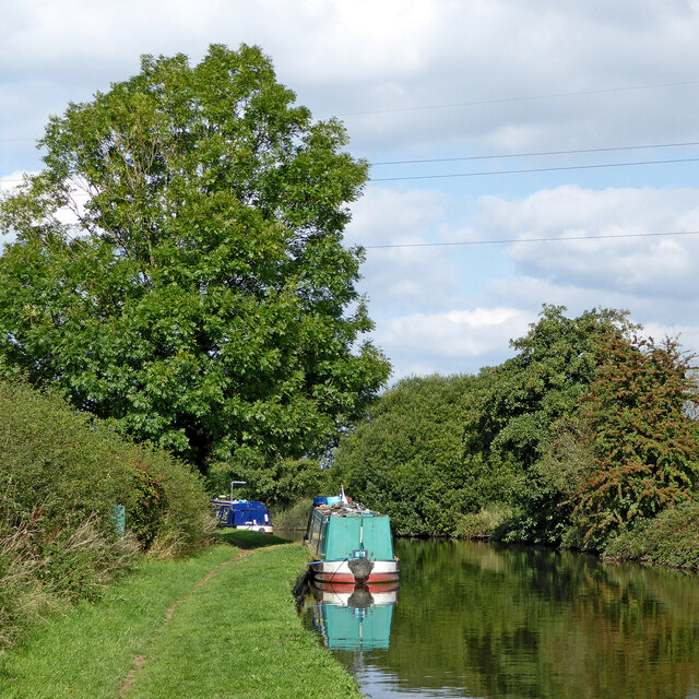
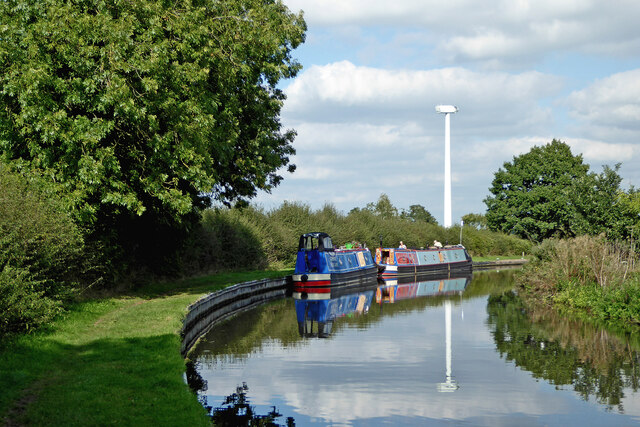
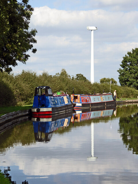
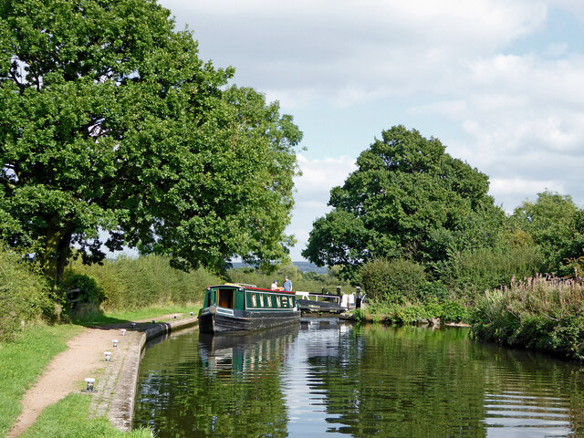
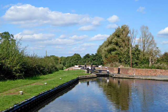
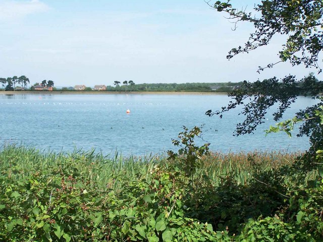
Gailey Wharf is a picturesque village located in the county of Staffordshire, England. Situated on the Staffordshire and Worcestershire Canal, this charming hamlet attracts visitors with its tranquil atmosphere and stunning natural surroundings.
The village itself is small, with a population of approximately 500 residents. It exudes a sense of history and charm, with several traditional cottages dotting its landscape. Gailey Wharf is particularly popular among boating enthusiasts, as it offers a base for canal boat trips and a marina for mooring. The marina provides essential services such as fuel, water, and pump-outs, making it a convenient stop for those exploring the canal network.
One of the highlights of Gailey Wharf is the historic pub, The Spread Eagle. Dating back to the 18th century, it offers a warm and inviting atmosphere for both locals and visitors. The pub serves traditional British fare, including classic fish and chips and hearty pies, making it a popular destination for a satisfying meal.
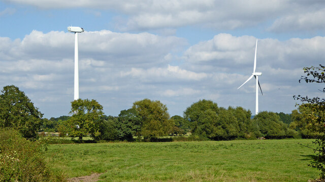
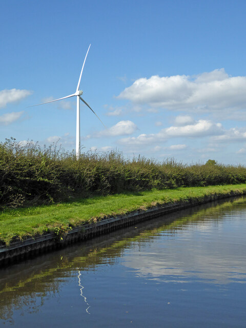
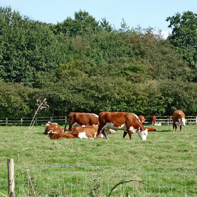
The surrounding countryside offers ample opportunities for outdoor activities. Nature lovers can explore the nearby Cannock Chase, an Area of Outstanding Natural Beauty, which boasts miles of walking and cycling trails. Gailey Reservoir is also nearby, providing a picturesque spot for fishing and birdwatching.
In summary, Gailey Wharf is a quaint village in Staffordshire that offers a peaceful retreat for visitors seeking a taste of traditional English countryside life.
If you have any feedback on the listing, please let us know in the comments section below.
Gailey Wharf Images
Images are sourced within 2km of 52.687629/-2.1197874 or Grid Reference SJ9210. Thanks to Geograph Open Source API. All images are credited.
Gailey Wharf is located at Grid Ref: SJ9210 (Lat: 52.687629, Lng: -2.1197874)
Administrative County: Staffordshire
District: South Staffordshire
Police Authority: Staffordshire
What 3 Words
///seaside.lakeside.imprints. Near Coven, Staffordshire
Nearby Locations
Related Wikis
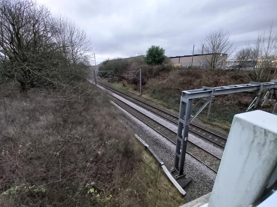
Gailey railway station
Gailey railway station was a railway station built by the Grand Junction Railway in 1837.: 29 It served the small village of Gailey, Staffordshire, 7...
Gailey, Staffordshire
Gailey is a small village in Staffordshire, England. It is at the junction of the A5 and A449 roads, and is on the boundary of the parishes of Brewood...

Penkridge weather station
Penkridge weather station is a weather station at Penkridge in Staffordshire, England, operated by the Met Office. It is situated on the site of Rodbaston...
Cannock Rural District
Cannock was a rural district in Staffordshire, England from 1894 to 1974. It was created by the Local Government Act 1894, based on the Cannock rural sanitary...
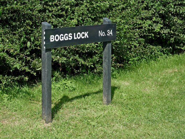
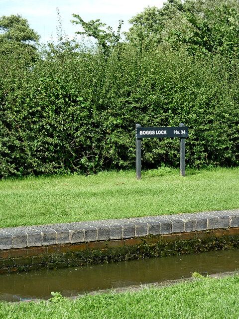
Gailey Reservoirs
Gailey Reservoir is a pair of canal feeder reservoirs in South Staffordshire, separated by a dam, and owned by the Canal & River Trust. Gailey Upper Reservoir...
Four Ashes railway station
Four Ashes railway station was a railway station built by the Grand Junction Railway in 1837.: 28 It served the small village of Four Ashes, Staffordshire...

Four Ashes, Staffordshire
Four Ashes is a village in the district of South Staffordshire in Staffordshire, England, located about 4 miles (6.4 km) west of Cannock, 7 miles (11 km...
The Rural Enterprise Academy
The Rural Enterprise Academy is a coeducational high school and sixth form located in Penkridge, Staffordshire, UK. It was the first dedicated land-based...
Nearby Amenities
Located within 500m of 52.687629,-2.1197874Have you been to Gailey Wharf?
Leave your review of Gailey Wharf below (or comments, questions and feedback).