Gailey
Settlement in Staffordshire South Staffordshire
England
Gailey
Gailey is a small village located in Staffordshire, England. Situated approximately 8 miles south of Stafford, it is nestled within the picturesque countryside of the county. Gailey is part of the South Staffordshire district and falls under the administrative jurisdiction of the Staffordshire County Council.
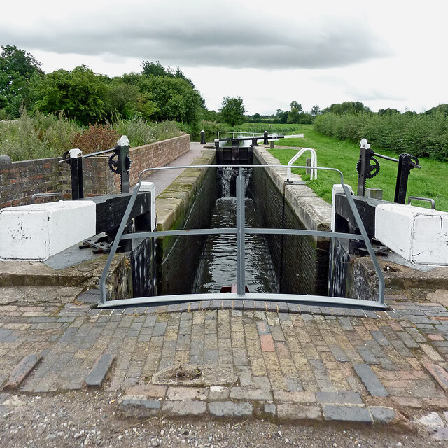
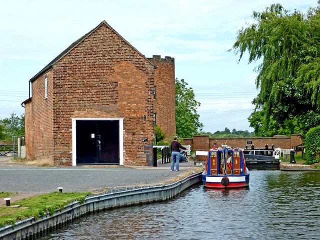
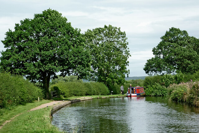
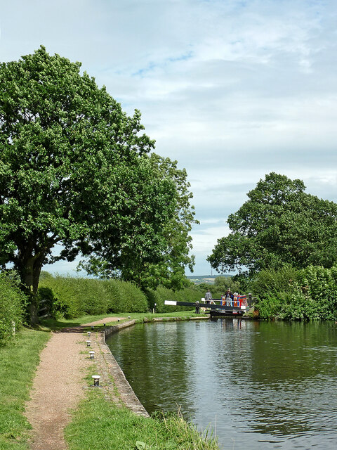
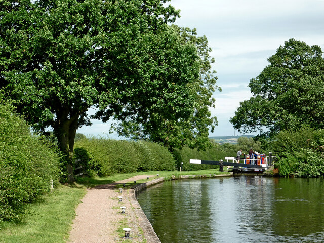
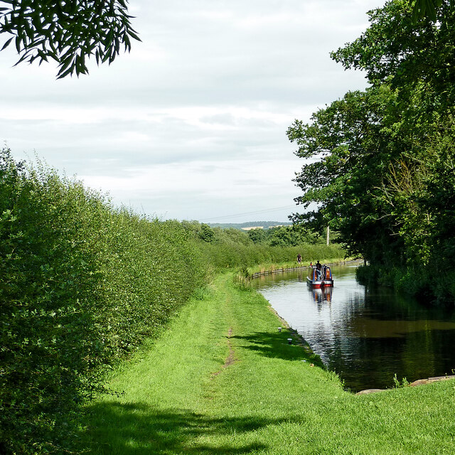
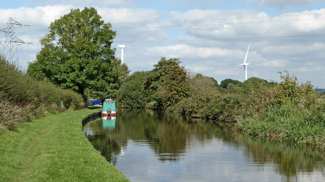
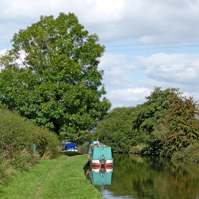
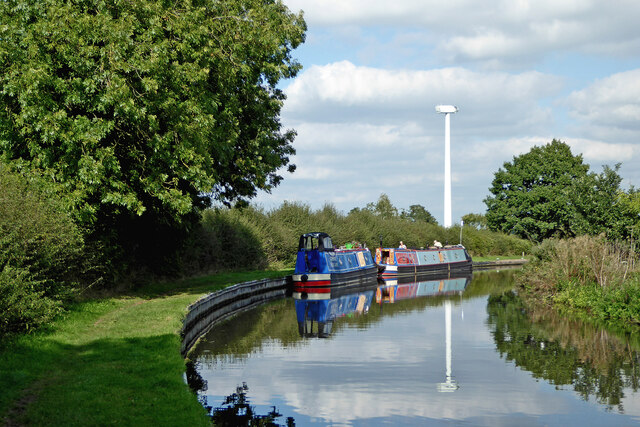
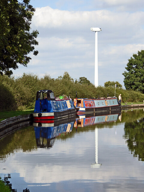
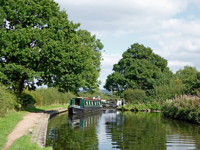
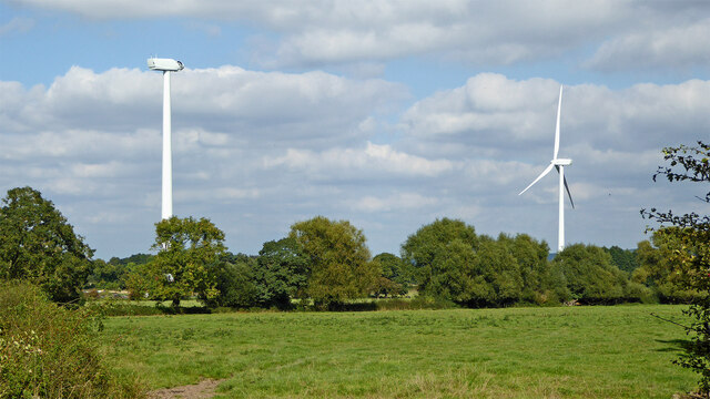
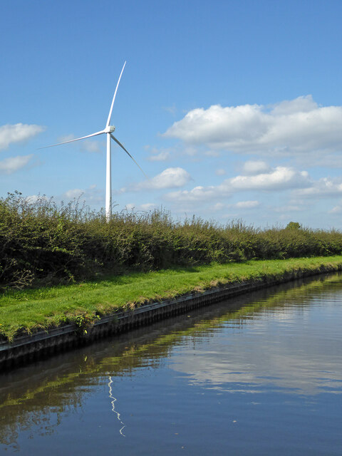
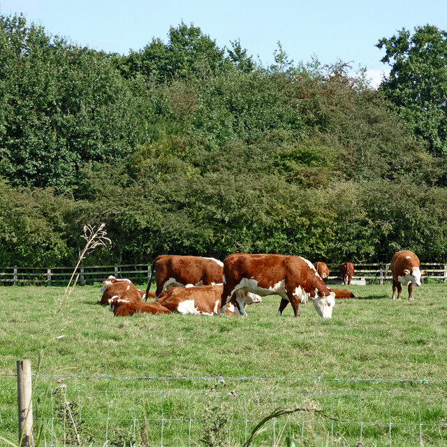
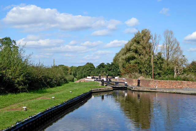
The village is known for its tranquil and rural setting, making it a popular destination for those seeking a peaceful escape from the bustling city life. Gailey is surrounded by beautiful green landscapes, including farmlands, woodlands, and rolling hills. The village is also close to the Staffordshire and Worcestershire Canal, offering residents and visitors opportunities for boating, walking, and enjoying the scenic views.
Despite its small size, Gailey has a strong sense of community and offers a range of amenities for its residents. These include a local pub, a convenience store, a post office, and a primary school. The village is well-connected to the neighboring towns and cities via road networks, with the A5 and M6 motorway providing easy access to Stafford, Wolverhampton, and Birmingham.
Gailey's location also makes it a popular spot for tourists passing through the area. Many visitors stop by to explore the nearby Cannock Chase, an Area of Outstanding Natural Beauty that offers various outdoor activities such as hiking, cycling, and wildlife spotting.
Overall, Gailey offers a picturesque and peaceful setting, making it an attractive place to live or visit for those seeking a countryside experience while still having convenient access to nearby towns and amenities.
If you have any feedback on the listing, please let us know in the comments section below.
Gailey Images
Images are sourced within 2km of 52.690744/-2.126467 or Grid Reference SJ9110. Thanks to Geograph Open Source API. All images are credited.
Gailey is located at Grid Ref: SJ9110 (Lat: 52.690744, Lng: -2.126467)
Administrative County: Staffordshire
District: South Staffordshire
Police Authority: Staffordshire
What 3 Words
///lizard.flood.clinking. Near Brewood, Staffordshire
Nearby Locations
Related Wikis
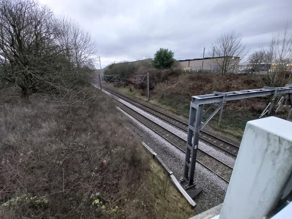
Gailey railway station
Gailey railway station was a railway station built by the Grand Junction Railway in 1837.: 29 It served the small village of Gailey, Staffordshire, 7...
Gailey, Staffordshire
Gailey is a small village in Staffordshire, England. It is at the junction of the A5 and A449 roads, and is on the boundary of the parishes of Brewood...

Cannock Rural District
Cannock was a rural district in Staffordshire, England from 1894 to 1974. It was created by the Local Government Act 1894, based on the Cannock rural sanitary...
Penkridge weather station
Penkridge weather station is a weather station at Penkridge in Staffordshire, England, operated by the Met Office. It is situated on the site of Rodbaston...
Pennocrucium
Pennocrucium was a Romano-British settlement and military complex located at present day Water Eaton, just south of Penkridge, Staffordshire, with evidence...
The Rural Enterprise Academy
The Rural Enterprise Academy is a coeducational high school and sixth form located in Penkridge, Staffordshire, UK. It was the first dedicated land-based...
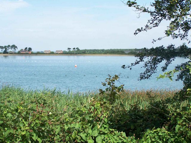
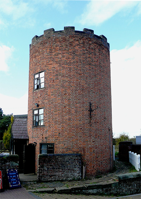
Gailey Reservoirs
Gailey Reservoir is a pair of canal feeder reservoirs in South Staffordshire, separated by a dam, and owned by the Canal & River Trust. Gailey Upper Reservoir...
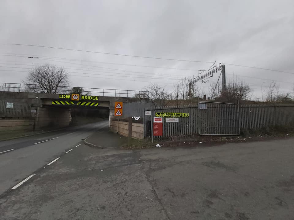
Four Ashes railway station
Four Ashes railway station was a railway station built by the Grand Junction Railway in 1837.: 28 It served the small village of Four Ashes, Staffordshire...
Nearby Amenities
Located within 500m of 52.690744,-2.126467Have you been to Gailey?
Leave your review of Gailey below (or comments, questions and feedback).