Àird Mheadhonach
Coastal Feature, Headland, Point in Inverness-shire
Scotland
Àird Mheadhonach
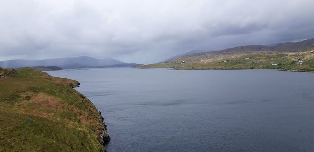
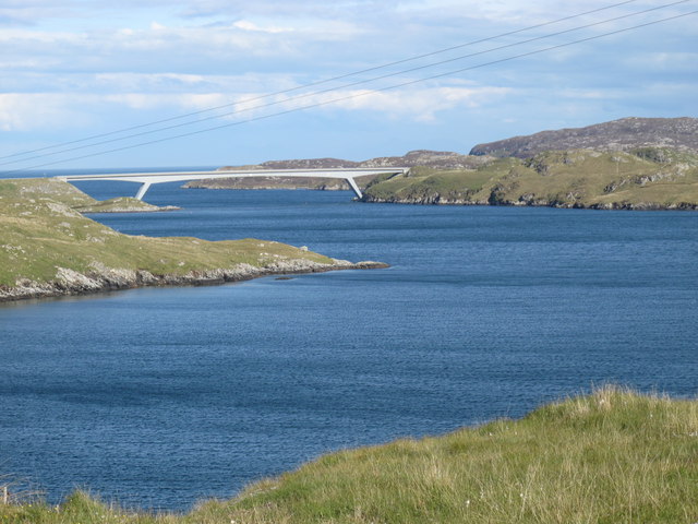
Àird Mheadhonach is a prominent coastal feature located in Inverness-shire, Scotland. Situated on the east coast of the Highlands, it is known for its picturesque headland and stunning views of the surrounding landscape. The point juts out into the Moray Firth, offering visitors a unique vantage point to admire the rugged beauty of the Scottish coastline.
The headland itself is characterized by its rocky cliffs, which provide nesting sites for various seabirds such as gulls and cormorants. These cliffs also offer visitors an opportunity to observe marine life, as seals and dolphins are often spotted in the waters below.
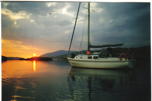
Àird Mheadhonach is a popular destination for nature enthusiasts and hikers, as it offers several walking trails that wind through the coastal terrain. These trails provide access to secluded beaches and coves, allowing visitors to enjoy the tranquility of the area. The headland is also home to a diverse range of plant species, including wildflowers and grasses, which add to its natural beauty.
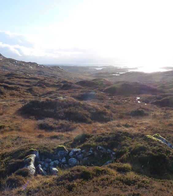
In addition to its natural attractions, Àird Mheadhonach has historical significance. The area is dotted with archaeological sites, including ancient settlements and burial grounds. These remnants showcase the region's rich cultural heritage and provide a glimpse into the lives of its early inhabitants.
Overall, Àird Mheadhonach is a captivating coastal feature that offers a blend of natural beauty and historical significance. Its rugged cliffs, diverse wildlife, and scenic walking trails make it a must-visit destination for anyone exploring the Inverness-shire region.
If you have any feedback on the listing, please let us know in the comments section below.
Àird Mheadhonach Images
Images are sourced within 2km of 57.886568/-6.7434518 or Grid Reference NG1898. Thanks to Geograph Open Source API. All images are credited.


Àird Mheadhonach is located at Grid Ref: NG1898 (Lat: 57.886568, Lng: -6.7434518)
Unitary Authority: Na h-Eileanan an Iar
Police Authority: Highlands and Islands
What 3 Words
///factually.cubs.control. Near Tarbert, Na h-Eileanan Siar
Nearby Locations
Related Wikis

Sgeotasaigh
Scotasay (Scottish Gaelic: Sgeotasaigh) is small island in the Outer Hebrides of Scotland. It lies 1 kilometre (0.6 miles) off the east coast of Harris...

East Loch Tarbert
East Loch Tarbert (Scottish Gaelic: Loch an Tairbeairt) is a sea loch that lies to the east of Harris in the Outer Hebrides of Scotland. The loch contains...

Harris distillery
Harris distillery is a Scotch whisky and Gin distillery in Tarbert on the Isle of Harris, Scotland. The distillery was the first legal distillery ever...

Tarbert, Harris
Tarbert (Scottish Gaelic: An Tairbeart [ən̪ˠ ˈt̪ɛrʲɛbərˠʃt̪]) is the main community on Harris in the Western Isles of Scotland. The name means "isthmus...

Scalpay, Outer Hebrides
Scalpay (; Scottish Gaelic: Sgalpaigh or Sgalpaigh na Hearadh; i.e. "Scalpay of Harris" to distinguish it from Scalpay off Skye) is an island in the Outer...

Rèinigeadal
Rèinigeadal (or Rhenigidale) is a small settlement in Harris, in the Western Isles in Scotland. It is situated on the east coast of Harris 8 kilometres...

Harris, Outer Hebrides
Harris (Scottish Gaelic: Na Hearadh, pronounced [nə ˈhɛɾəɣ] ) is the southern and more mountainous part of Lewis and Harris, the largest island in the...
Eilean Glas, Scalpay
Eilean Glas is a peninsula of Scalpay in the Outer Hebrides, Scotland. Eilean Glas is home to a historic lighthouse. Eilean Glas means Grey/Green Island...
Nearby Amenities
Located within 500m of 57.886568,-6.7434518Have you been to Àird Mheadhonach?
Leave your review of Àird Mheadhonach below (or comments, questions and feedback).