Àird Mhòr

Coastal Feature, Headland, Point in Inverness-shire

Scotland

Àird Mhòr

View towards Lingarabay Looking south.
View towards Lingarabay Credit: Richard Dorrell

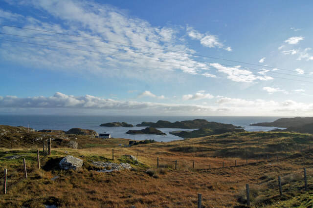
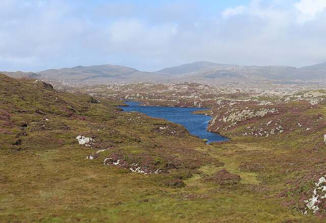
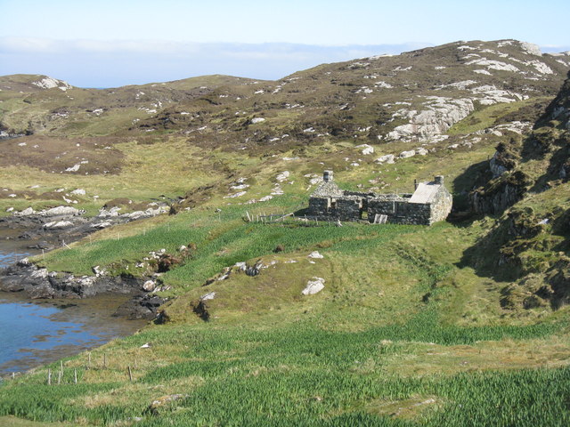
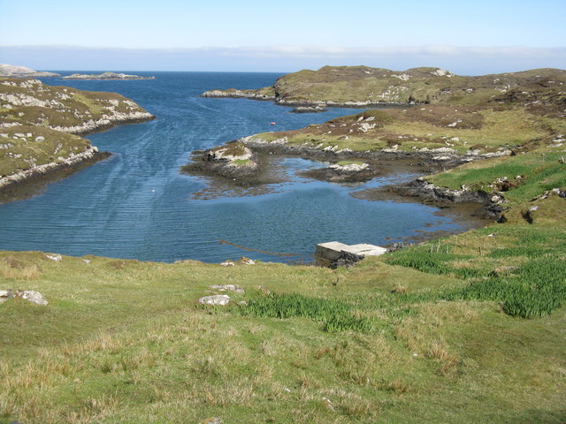
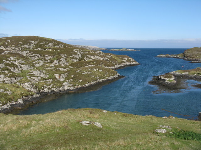
Àird Mhòr is a prominent coastal feature located in Inverness-shire, Scotland. It is a stunning headland that juts out into the North Sea, offering breathtaking views of the surrounding landscape. The name Àird Mhòr translates to "big point" in English, which accurately describes its prominent location.

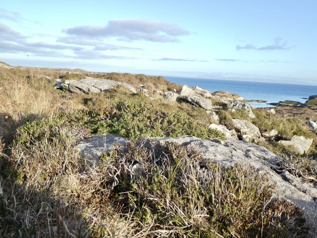
This headland is characterized by its rugged cliffs that rise dramatically from the sea, creating a striking visual spectacle. The cliffs are composed of various rock formations, including sandstone and shale, which have been shaped over centuries by the relentless crashing waves. The constant erosion has resulted in the formation of sea caves and natural arches, adding to the allure of this coastal feature.

The headland is also renowned for its diverse wildlife population. Seabirds such as gannets, puffins, and fulmars can be spotted nesting on the cliffs, while seals and dolphins are often seen swimming in the surrounding waters. The area is a popular spot for birdwatching enthusiasts and nature lovers alike.

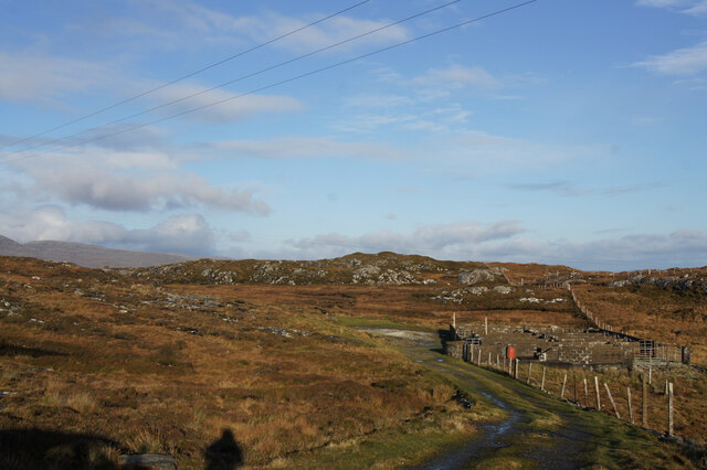
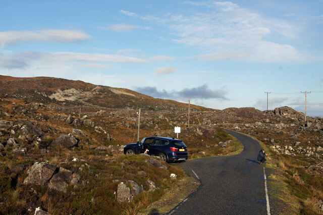
Access to Àird Mhòr is relatively easy, with a well-maintained footpath leading to the headland. Visitors can take leisurely walks along the cliff edge, taking in the panoramic views of the sea and the surrounding countryside. It is advisable to bring sturdy footwear and warm clothing, as the coastal weather can be unpredictable.

Overall, Àird Mhòr is a captivating coastal feature that showcases the natural beauty of Scotland's coastline. With its dramatic cliffs, diverse wildlife, and stunning views, it is a must-visit destination for anyone exploring Inverness-shire.

If you have any feedback on the listing, please let us know in the comments section below.
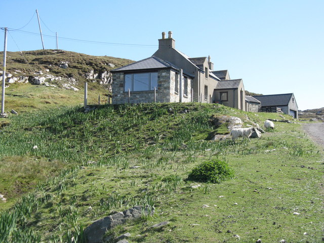
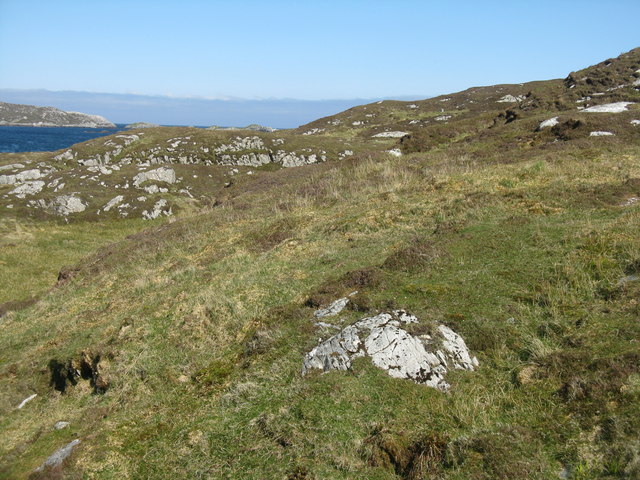
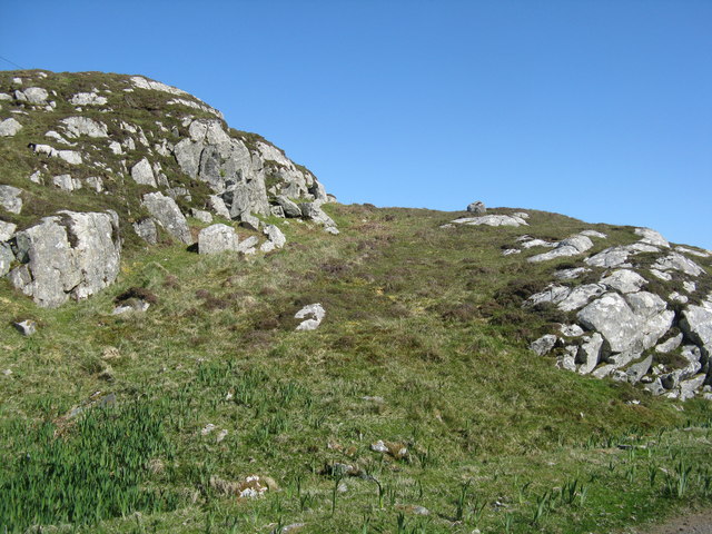
Àird Mhòr Images

Images are sourced within 2km of 57.759156/-6.9248706 or Grid Reference NG0785. Thanks to Geograph Open Source API. All images are credited.

View towards Lingarabay Looking south.
View towards Lingarabay
Looking south.
Track and sheep pen, Lingarabay A few nomadic sheep manage to survive here, among the heather and bedrock on the east coast of Harris.
Track and sheep pen, Lingarabay
A few nomadic sheep manage to survive here, among the heather and bedrock on the east coast of Harris.
Road north from Roghadal Sue crouches to get some foreground in her arty photo looking out to sea, while I capture the scene for Geograph.
Road north from Roghadal
Sue crouches to get some foreground in her arty photo looking out to sea, while I capture the scene for Geograph.
The road approaching Fionnsabhagh from the south
Prostrate Juniper near Beinn na h-Aire Zone 2 - Juniperus communis ssp nana. Found in abundance in this area - this one on the slopes of Beinn na h-Aire, on the way up to Roineabhal from Lingreabhagh. This is a designated National Scenic Area (NSA).
Prostrate Juniper near Beinn na h-Aire
Zone 2 - Juniperus communis ssp nana. Found in abundance in this area - this one on the slopes of Beinn na h-Aire, on the way up to Roineabhal from Lingreabhagh. This is a designated National Scenic Area (NSA).
Desolate inland Harris Geocaching is a type of global treasure hunt of people looking for caches, or hidden stashes of objects. Geocaching may also be described as a series of hide-and-seek games, where hiders provide online clues for seekers. Seekers use global positioning system (GPS) devices to find hidden caches
Desolate inland Harris
Geocaching is a type of global treasure hunt of people looking for caches, or hidden stashes of objects. Geocaching may also be described as a series of hide-and-seek games, where hiders provide online clues for seekers. Seekers use global positioning system (GPS) devices to find hidden caches
Near Lingarabay One of the great pleasures of a visit to Harris is driving the road along the east coast, with its vistas of impossibly rocky land.
Near Lingarabay
One of the great pleasures of a visit to Harris is driving the road along the east coast, with its vistas of impossibly rocky land.
The Bays Road This narrow road with passing places twists and winds along the east coast of Harris between Roghadal and Tairbeart. The scar on the hill ahead is the anorthosite quarry above Lingerbay. A proposal to develop a super-quarry here led to protracted planning wrangles until it was finally turned down in 2004. See <span class="nowrap"><a title="https://en.wikipedia.org/wiki/Lingarabay" rel="nofollow ugc noopener" href="https://en.wikipedia.org/wiki/Lingarabay">Link</a><img style="margin-left:2px;" alt="External link" title="External link - shift click to open in new window" src="https://s1.geograph.org.uk/img/external.png" width="10" height="10"/></span> for details. Anorthosite is a rock composed mainly of plagioclase feldspar with other minerals, and it appears very white. Much of the Moon is composed of anorthosite.
The Bays Road
This narrow road with passing places twists and winds along the east coast of Harris between Roghadal and Tairbeart. The scar on the hill ahead is the anorthosite quarry above Lingerbay. A proposal to develop a super-quarry here led to protracted planning wrangles until it was finally turned down in 2004. See LinkExternal link for details. Anorthosite is a rock composed mainly of plagioclase feldspar with other minerals, and it appears very white. Much of the Moon is composed of anorthosite.
Beinn na h-Aire Or rather the northern slopes of Beinn na h-Aire, much of the hill being hidden in the cloud.
Beinn na h-Aire
Or rather the northern slopes of Beinn na h-Aire, much of the hill being hidden in the cloud.
Loch an Luig One of the hundreds of small lochs among the gneiss of eastern Harris.
Loch an Luig
One of the hundreds of small lochs among the gneiss of eastern Harris.
Loch Sgùrr The road is right on the brink of this small lochan.
Loch Sgùrr
The road is right on the brink of this small lochan.
Fionnsabhaigh Finsbay is one of the scattered villages on the east side of Harris, settled by people evicted from the fertile machair land on the west during the Highand Clearances.
Fionnsabhaigh
Finsbay is one of the scattered villages on the east side of Harris, settled by people evicted from the fertile machair land on the west during the Highand Clearances.
Ruined house by the shore At the end of the road to Borsham/Boirseam
Ruined house by the shore
At the end of the road to Borsham/Boirseam
Jetty at Boirseam/Borsham On an inlet of Loch Fionnsabhagh.
Jetty at Boirseam/Borsham
On an inlet of Loch Fionnsabhagh.
Loch Fionnsabhagh Looking east from Biorseam/Borsham.
Loch Fionnsabhagh
Looking east from Biorseam/Borsham.
House at Boirseam/Borsham Almost at the end of the road.
House at Boirseam/Borsham
Almost at the end of the road.
Rocky moorland at Borsham/Boirseam With a glimpse of Loch Fionnsabhagh beyond.
Rocky moorland at Borsham/Boirseam
With a glimpse of Loch Fionnsabhagh beyond.
Roadside rocks at Boirseam With yellow flags or iris in the damp part.
Roadside rocks at Boirseam
With yellow flags or iris in the damp part.
Show me another place!

Àird Mhòr is located at Grid Ref: NG0785 (Lat: 57.759156, Lng: -6.9248706)

Unitary Authority: Na h-Eileanan an Iar

Police Authority: Highlands and Islands

What 3 Words

///jumped.volunteered.superhero. Near Leverburgh, Na h-Eileanan Siar

Related Wikis

Lingarabay

Lingarabay (also Lingerabay or Lingerbay; Scottish Gaelic: Lingreabhagh) is a small coastal settlement on Harris, in the Outer Hebrides of Scotland. It...

Harris Superquarry

The Harris Super Quarry was a super quarry at Lingerbay, Harris, Scotland proposed by Redland Aggregates in 1991. The plan was to surface mine aggregate...

Borsham

Borsham (Scottish Gaelic: Boirseam) is a village in the 'Bays' area of Harris in the Outer Hebrides, Scotland. Borsham is within the parish of Harris....

St Clement's Church, Rodel

St Clement's Church (Scottish Gaelic: Tùr Chliamhainn, meaning Clement's Tower) is a late fifteenth-century or early sixteenth-century church in Rodel...

Nearby Amenities

Located within 500m of 57.759156,-6.9248706
The data included in this document is from www.openstreetmap.org. The data is made available under ODbL.

Have you been to Àird Mhòr?

Leave your review of Àird Mhòr below (or comments, questions and feedback).