Borranish a Muigh
Coastal Feature, Headland, Point in Ross-shire
Scotland
Borranish a Muigh
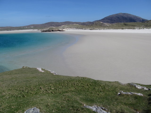
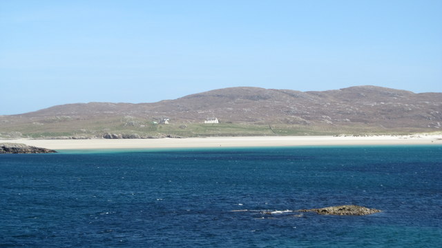
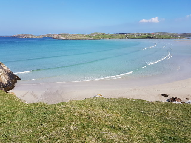
Borranish a Muigh is a captivating coastal feature located in the county of Ross-shire, Scotland. Situated on the western coast, it is specifically found on a headland that juts out into the sea, forming a point that offers stunning views of the surrounding landscape.
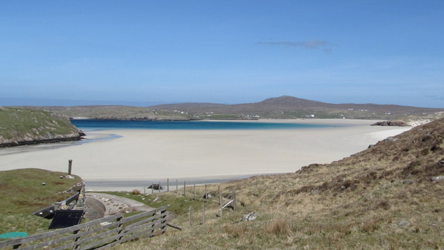
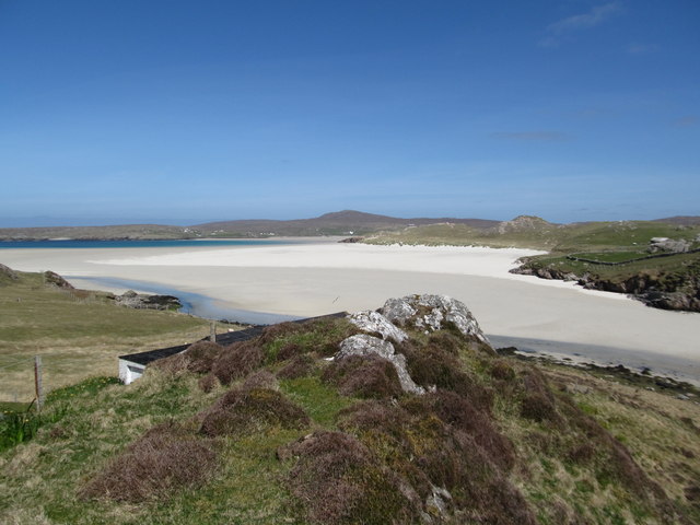
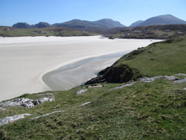
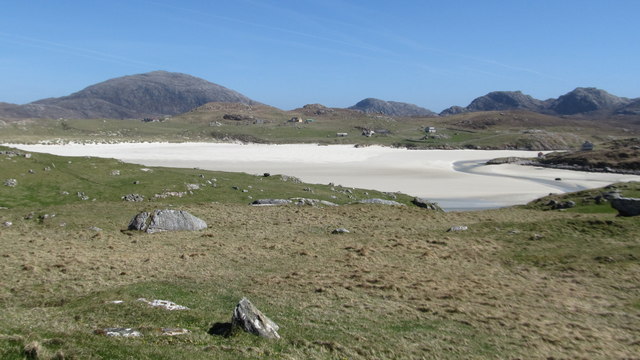
The headland of Borranish a Muigh is characterized by its rugged and rocky terrain, which is typical of the Scottish coastline. Its cliffs, rising steeply from the water, provide a dramatic backdrop to the crashing waves below. The coastline is interspersed with small caves and crevices that have been eroded by the relentless power of the sea over time.
This headland is a haven for wildlife enthusiasts, as it serves as an important nesting site for numerous seabirds such as puffins, gannets, and razorbills. Visitors can witness these fascinating creatures perched on the cliffs, or soaring through the air as they dive into the water in search of fish.
The point of Borranish a Muigh offers panoramic views of the nearby coastline and the vast expanse of the Atlantic Ocean. On a clear day, one can see the distant peaks of the Outer Hebrides, adding to the sense of awe and tranquility that this coastal feature evokes.
Due to its remote location and rugged terrain, Borranish a Muigh is not easily accessible. However, for those willing to make the journey, it rewards them with an unforgettable experience of Scotland's untamed beauty and the power of nature.
If you have any feedback on the listing, please let us know in the comments section below.
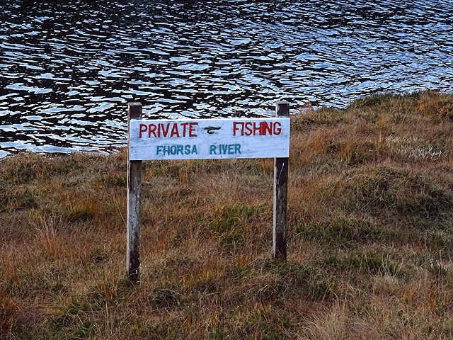
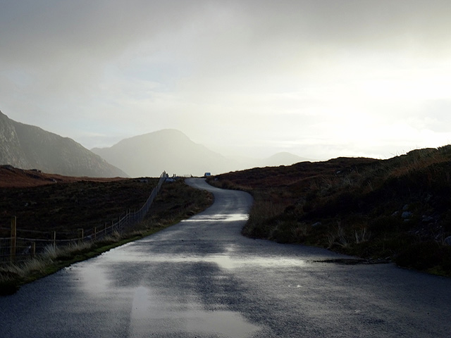
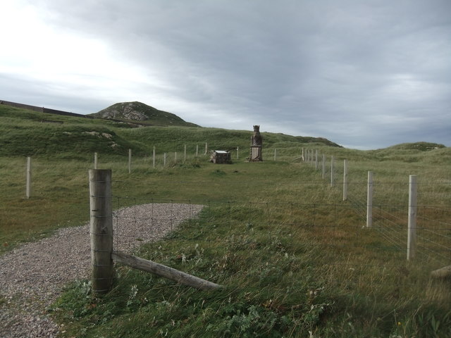
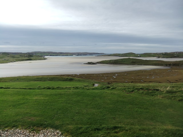
Borranish a Muigh Images
Images are sourced within 2km of 58.190287/-7.0215024 or Grid Reference NB0533. Thanks to Geograph Open Source API. All images are credited.


Borranish a Muigh is located at Grid Ref: NB0533 (Lat: 58.190287, Lng: -7.0215024)
Unitary Authority: Na h-Eileanan an Iar
Police Authority: Highlands and Islands
What 3 Words
///revealing.spoil.smashes. Near Carloway, Na h-Eileanan Siar
Related Wikis

Timsgarry
Timsgarry (Scottish Gaelic: Tuimisgearraidh) is a village on the Isle of Lewis, in the Outer Hebrides, Scotland. Timsgarry is home to the Baile na Cille...

Camas Uig
Camas Uig (Uig Bay) is a bay on the west coast of the Isle of Lewis, in the Outer Hebrides of Scotland. The Lewis Chessmen were discovered in the dunes...

Uig, Lewis
Uig (Scottish Gaelic: Ùig [uːkʲ]), also known as Sgìr' Ùig, is a civil parish and community in the west of the Isle of Lewis in the Outer Hebrides, Scotland...

Ardroil
Ardroil (Scottish Gaelic: Eadar Dhà Fhadhail) is a village on the Isle of Lewis in the Outer Hebrides, Scotland. Ardroil is within the parish of Uig....

Abhainn Dearg distillery
Abhainn Dearg distillery ( AV-in JAIRG) or Red River distillery is a Scotch whisky distillery in Uig, on the west coast of the Isle of Lewis in the Outer...

Cliff, Lewis
Cliff (Scottish Gaelic: Cliobh) is a small settlement on the Isle of Lewis, in the Outer Hebrides, Scotland. Cliff is within the parish of Uig. The settlement...
Gasker
Gasker is a small uninhabited islet in the Outer Hebrides of Scotland, 8 kilometres (4+1⁄2 nautical miles) southwest of Scarp, off the west coast of Harris...

Aird Uig
Aird Uig (Scottish Gaelic: Àird Ùig) is a village on the Isle of Lewis, in the Outer Hebrides, Scotland. Aird Uig is within the parish of Uig, and is situated...
Nearby Amenities
Located within 500m of 58.190287,-7.0215024Have you been to Borranish a Muigh?
Leave your review of Borranish a Muigh below (or comments, questions and feedback).