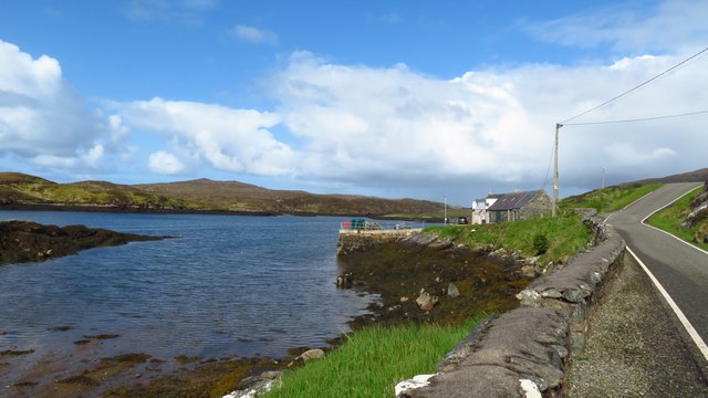
Rubha Mòr
Coastal Feature, Headland, Point in Inverness-shire
Scotland
Rubha Mòr

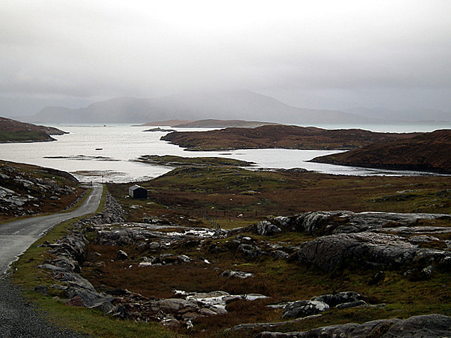
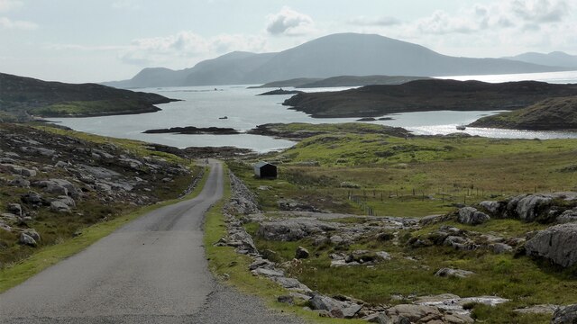
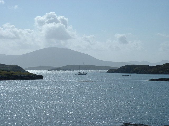
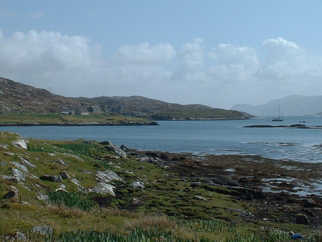
Rubha Mòr is a prominent headland located in Inverness-shire, Scotland. Situated along the coast, it juts out into the North Atlantic Ocean, offering stunning views of the surrounding landscapes. The name "Rubha Mòr" translates to "big point" in Gaelic, which accurately describes its prominent position.
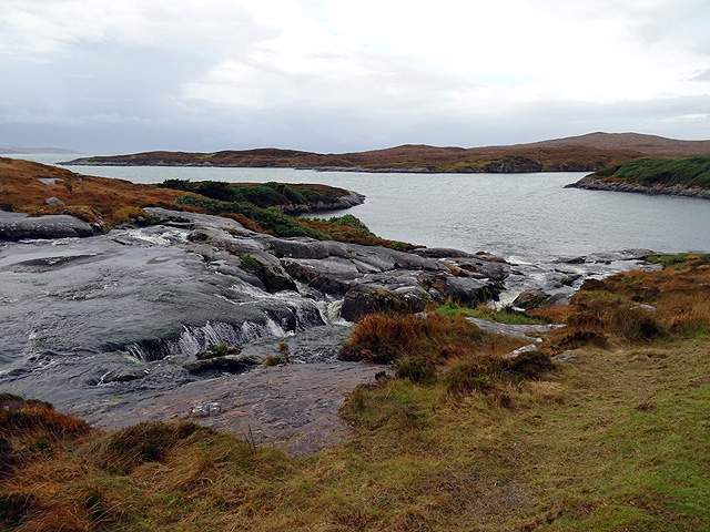
This coastal feature is characterized by its rugged cliffs, which rise steeply from the sea, creating a dramatic and awe-inspiring sight. The headland is composed of ancient rocks, primarily composed of gneiss, giving it a distinct and unique appearance. The cliffs are often adorned with vibrant green vegetation, adding to the picturesque scenery.
Rubha Mòr serves as a vital landmark and navigational point for sailors and fishermen. Its strategic location makes it an ideal vantage point for observing the surrounding waters and monitoring any incoming vessels. The headland also acts as a natural barrier, protecting the nearby coast from the powerful waves and tides of the Atlantic Ocean.
The area surrounding Rubha Mòr is rich in biodiversity, with numerous species of seabirds nesting along the cliffs. Visitors may catch a glimpse of seabirds such as puffins, guillemots, and razorbills, which make their homes in the crevices and ledges of the rocky terrain. The headland is also home to a variety of plant species, including hardy grasses and wildflowers that have adapted to the harsh coastal conditions.
Overall, Rubha Mòr stands as a magnificent coastal feature, combining natural beauty, geological significance, and ecological importance. Whether one is captivated by its striking cliffs, mesmerized by the wildlife, or simply seeking a peaceful spot to enjoy the breathtaking views, this headland offers a memorable experience for all who visit.
If you have any feedback on the listing, please let us know in the comments section below.
Rubha Mòr Images
Images are sourced within 2km of 57.956032/-6.9978275 or Grid Reference NB0407. Thanks to Geograph Open Source API. All images are credited.


Rubha Mòr is located at Grid Ref: NB0407 (Lat: 57.956032, Lng: -6.9978275)
Unitary Authority: Na h-Eileanan an Iar
Police Authority: Highlands and Islands
What 3 Words
///vase.laughs.tried. Near Tarbert, Na h-Eileanan Siar
Nearby Locations
Related Wikis

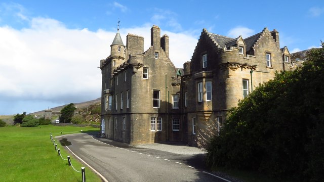
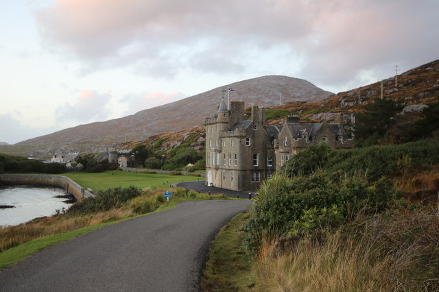
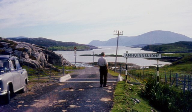
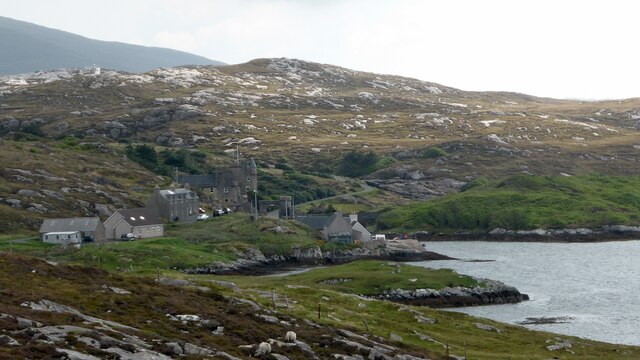
Amhuinnsuidhe Castle
Amhuinnsuidhe Castle is a large 19th-century private country house on Harris, one of the Western Isles of Scotland. It was designated as a Category A listed...

Amhuinnsuidhe
Amhuinnsuidhe (Scottish Gaelic: Abhainn Suidhe) is a settlement on Harris, in the Outer Hebrides, Scotland. The settlement is also within the parish of...

Soay Beag
Soay Beag (Scottish Gaelic: Sòdhaigh Beag) is a small, uninhabited tidal island in West Loch Tarbert, between the northern and southern parts of Harris...

Soay Sound
Soay Sound (Scottish Gaelic: Caolas Shòdhaigh) is a strait separating the islands of Soay Mòr and Soay Beag from the northern part of Harris. The sound...

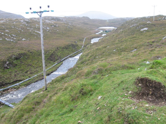
Chliostair Hydro-Electric Scheme
Chliostair Hydro-Electric Scheme is a small scheme promoted by the North of Scotland Hydro-Electric Board on Harris, Outer Hebrides. It consists of a single...

Soay Mòr
Soay Mòr (Scottish Gaelic: Sòdhaigh Mòr) is an island in West Loch Tarbert, between the northern and southern parts of Harris. The uninhabited island is...

Tiorga Mor
Tiorga Mor (679 m) is a mountain in Harris, in the Outer Hebrides of Scotland. The most westerly peak of the high mountains of Harris, it is a very rugged...

Oireabhal
Oireabhal (662 m) is a mountain in Harris, in the Outer Hebrides of Scotland. The peak is the highest point on a complex ridge that runs from north to...
Nearby Amenities
Located within 500m of 57.956032,-6.9978275Have you been to Rubha Mòr?
Leave your review of Rubha Mòr below (or comments, questions and feedback).