Abhainn Suidhe

Settlement in Inverness-shire

Scotland

Abhainn Suidhe

Wind turbines at Amhuinnsuidhe
Wind turbines at Amhuinnsuidhe Credit: shikari

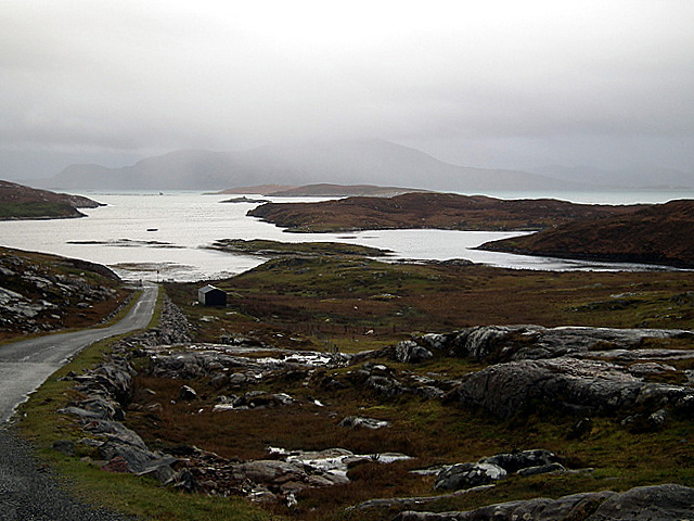
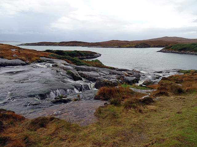
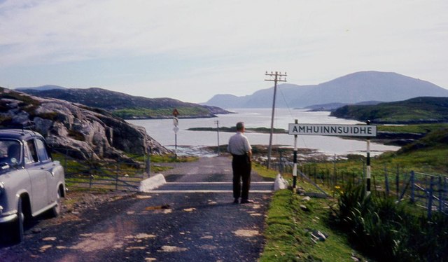
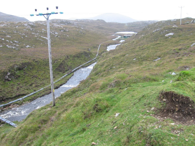
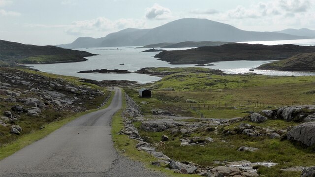
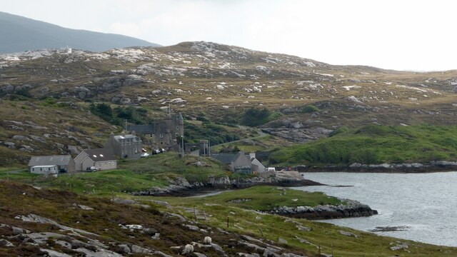
Abhainn Suidhe is a small village located in the Inverness-shire region of Scotland. Nestled amidst the stunning Scottish Highlands, it offers breathtaking views of the surrounding landscapes. The village is situated near the banks of the River Suidhe, which adds to its natural charm.

Despite its small size, Abhainn Suidhe boasts a rich history and is known for its quaint and peaceful atmosphere. The village is home to a small population, consisting mostly of locals who have lived in the area for generations. The community is tight-knit and welcoming to visitors, often providing a warm Scottish hospitality experience.

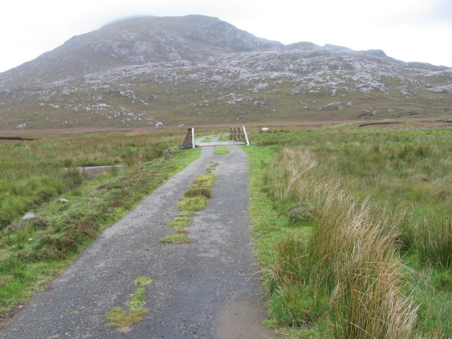
The natural beauty of Abhainn Suidhe is a major attraction for tourists. The surrounding countryside offers a plethora of outdoor activities, including hiking, fishing, and birdwatching. The nearby Loch Suidhe is a popular spot for fishing enthusiasts, with its abundance of trout and salmon.

Visitors to Abhainn Suidhe can also explore the nearby Inverness-shire region, which offers a range of attractions. The famous Loch Ness, home to the legendary Loch Ness Monster, is just a short drive away. Inverness, the capital of the Highlands, is also within reach and offers a variety of cultural and historical sites.

In terms of amenities, Abhainn Suidhe has a few local shops and restaurants, providing the essentials for both residents and visitors. Accommodation options include cozy bed and breakfasts and self-catering cottages, allowing visitors to fully immerse themselves in the village's tranquil atmosphere.

Overall, Abhainn Suidhe is a hidden gem in the picturesque Scottish Highlands, offering a peaceful retreat for those seeking natural beauty and a taste of Scottish village life.

If you have any feedback on the listing, please let us know in the comments section below.

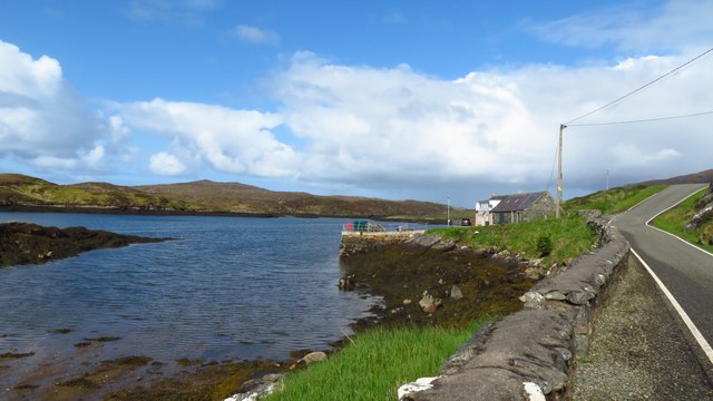
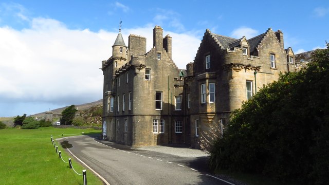
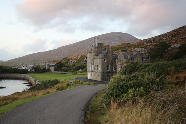
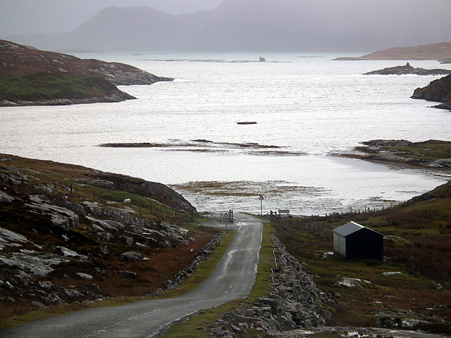
Abhainn Suidhe Images

Images are sourced within 2km of 57.96225/-6.9936842 or Grid Reference NB0407. Thanks to Geograph Open Source API. All images are credited.

Wind turbines at Amhuinnsuidhe
Monument/Cairn on top of Bìdigidh Unclear what the monument is.
Monument/Cairn on top of Bìdigidh
Unclear what the monument is.
Jetty at Loch Leosavay, Amhuinnsuidhe
Amhuinnsuidhe Castle, Harris It is quite a surprise when you round the corner on the B887 to come across this large building. It was originally named Fincastle and the house was built in the Scottish baronial style by architect David Bryce in 1864–1867 for Charles Murray, 7th Earl of Dunmore (styled Viscount Fincastle until 1845), whose grandfather George Murray, 5th Earl of Dunmore had purchased the island in 1834. The B887 passes right in front of the house before passing through an archway.
Amhuinnsuidhe Castle, Harris
It is quite a surprise when you round the corner on the B887 to come across this large building. It was originally named Fincastle and the house was built in the Scottish baronial style by architect David Bryce in 1864–1867 for Charles Murray, 7th Earl of Dunmore (styled Viscount Fincastle until 1845), whose grandfather George Murray, 5th Earl of Dunmore had purchased the island in 1834. The B887 passes right in front of the house before passing through an archway.
Lochan Beag with view towards Tiorga Mor, Harris
Road below Power Station, Loch Leosaid, Harris
Cabin and castle by Loch Leosavay, Isle of Harris
Looking down towards Loch Lianarich On the B887 road from Huisinis.
Looking down towards Loch Lianarich
On the B887 road from Huisinis.
Rough ground at Abhainn Suidhe (Amhuinnsuidhe) Loch Leosavay in view.
Rough ground at Abhainn Suidhe (Amhuinnsuidhe)
Loch Leosavay in view.
Falls at Abhainn Suidhe Looking over Loch Leosavay.
Falls at Abhainn Suidhe
Looking over Loch Leosavay.
Road repairs at Bearragan You have to admire these chaps who maintain these remote roads in all weathers.
Road repairs at Bearragan
You have to admire these chaps who maintain these remote roads in all weathers.
Loch nan Caor By the road from Huisinis to Tarbert.
Loch nan Caor
By the road from Huisinis to Tarbert.
Western approach to Amhuinnsuidhe
Towards Lochan Beag
Towards Lochan Beag
Abhainn Mhòr
Abhainn Mhòr
Bridge over Abhainn Leòsaid
Loch Leosavay
Loch Leosavay
Amhuinnsuidhe Castle Baronial mansion built for the 7th Earl of Dunmore in 1867.
Amhuinnsuidhe Castle
Baronial mansion built for the 7th Earl of Dunmore in 1867.
Show me another place!

Abhainn Suidhe is located at Grid Ref: NB0407 (Lat: 57.96225, Lng: -6.9936842)

Unitary Authority: Na h-Eileanan an Iar

Police Authority: Highlands and Islands

Also known as: Amhuinnsuidhe

What 3 Words

///hawks.gliders.paler. Near Tarbert, Na h-Eileanan Siar

Related Wikis

Nearby Amenities

Located within 500m of 57.96225,-6.9936842
Amhuinnsuidhe
Naptan AtcoCode: 6010731508
Naptan Bearing: SE
Naptan BusStopType: CUS
Naptan CommonName: Amhuinnsuidhe
Naptan Indicator: Castle
Naptan Landmark: Castle entrance
Naptan NaptanCode: 94723694
Naptan Street: Castle
Naptan Verified: no
Source: naptan_import
Lat/Long: 57.9611961/-6.9907081
Access: yes
Barrier: cattle_grid
Source: survey
Lat/Long: 57.9609809/-6.986445
Barrier: height_restrictor
Maxheight: 3.9
Source: survey
Lat/Long: 57.9616801/-6.9920282
Access: yes
Barrier: cattle_grid
Lat/Long: 57.9633518/-6.9951245
Abhainn Suidhe
Name En: Amhuinnsuidhe
Name Gd: Abhainn Suidhe
Place: village
Wikidata: Q4746070
Lat/Long: 57.9621691/-6.9928106
Waterway: waterfall
Lat/Long: 57.9603305/-6.9892042
Waterway: waterfall
Lat/Long: 57.960381/-6.9895378
Waterway: waterfall
Lat/Long: 57.9605066/-6.9869815
Loch Leosavay
Natural: bay
Lat/Long: 57.960969/-6.9978758
Material: wood
Power: pole
Lat/Long: 57.9624383/-6.9906418
Material: wood
Power: pole
Lat/Long: 57.9627381/-6.9919237
Material: wood
Power: pole
Lat/Long: 57.9617996/-6.9876145
Material: wood
Power: pole
Lat/Long: 57.9621125/-6.989085
Material: wood
Power: pole
Lat/Long: 57.9632019/-6.9928746
Material: wood
Power: pole
Lat/Long: 57.963754/-6.9939532
Material: wood
Power: pole
Lat/Long: 57.9655155/-6.9973482
Material: wood
Power: pole
Lat/Long: 57.9648726/-6.9960769
Material: wood
Power: pole
Lat/Long: 57.9644693/-6.9969564
Material: wood
Power: pole
Lat/Long: 57.9643183/-6.9950346
Material: wood
Power: pole
Lat/Long: 57.9624297/-6.9946347
Man Made: mast
Tower Type: communication
Lat/Long: 57.9625855/-6.9948193
Material: wood
Power: pole
Lat/Long: 57.9624775/-6.9937406
Passing Place
Lat/Long: 57.9625248/-6.9942263
Material: wood
Power: pole
Lat/Long: 57.9629469/-6.9931708
Material: wood
Power: pole
Lat/Long: 57.9634763/-6.9934942
Material: wood
Power: pole
Lat/Long: 57.96598/-6.9983448
Material: wood
Power: pole
Lat/Long: 57.9615624/-6.9864052
Passing Place
Lat/Long: 57.9603906/-6.9886131
Passing Place
Lat/Long: 57.960778/-6.9897991
Passing Place
Lat/Long: 57.9605826/-6.9871739
Waterway: waterfall
Lat/Long: 57.9603169/-6.9887868
Generator Method: photovoltaic
Generator Output Electricity: small_installation
Generator Source: solar
Generator Type: solar_photovoltaic_panel
Power: generator
Lat/Long: 57.9617877/-6.9920924
Passing Place
Lat/Long: 57.9634578/-6.9952513
Passing Place
Lat/Long: 57.9640238/-6.9960535
Material: wood
Power: pole
Lat/Long: 57.9621332/-6.9905599
Material: wood
Power: pole
Lat/Long: 57.9617348/-6.9904151
Generator Method: wind_turbine
Generator Source: wind
Generator Type: horizontal_axis
Power: generator
Lat/Long: 57.9635546/-6.9886043
Generator Method: wind_turbine
Generator Source: wind
Generator Type: horizontal_axis
Power: generator
Lat/Long: 57.963322/-6.9883851
Generator Method: wind_turbine
Generator Source: wind
Generator Type: horizontal_axis
Power: generator
Lat/Long: 57.9631167/-6.9880416
Waterway: waterfall
Lat/Long: 57.9602901/-6.9897766
Passing Place
Lat/Long: 57.9610419/-6.9861956
Street Lamp
Lamp Type: electric
Support: pole
Lat/Long: 57.9621848/-6.9937975
The data included in this document is from www.openstreetmap.org. The data is made available under ODbL.

Have you been to Abhainn Suidhe?

Leave your review of Abhainn Suidhe below (or comments, questions and feedback).