A' Chailleach
Coastal Feature, Headland, Point in Inverness-shire
Scotland
A' Chailleach

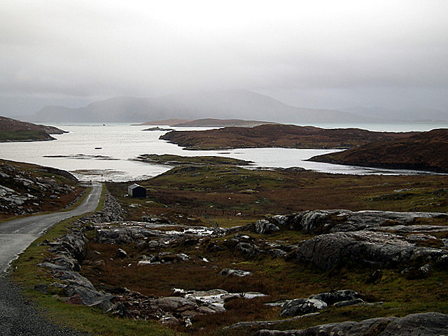
A' Chailleach is a prominent coastal feature located in Inverness-shire, Scotland. It is classified as a headland, also known as a point, due to its elongated and protruding shape into the surrounding sea. The name "A' Chailleach" translates to "the old woman" in Gaelic, which may refer to the rugged and weathered appearance of the headland.
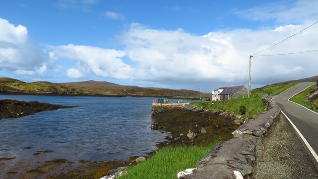
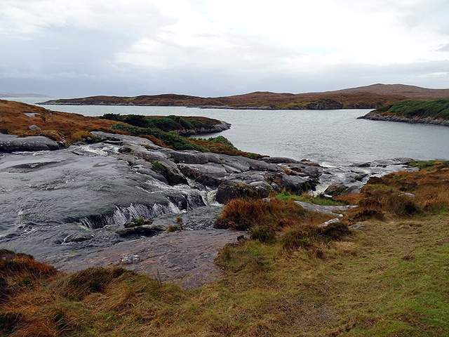
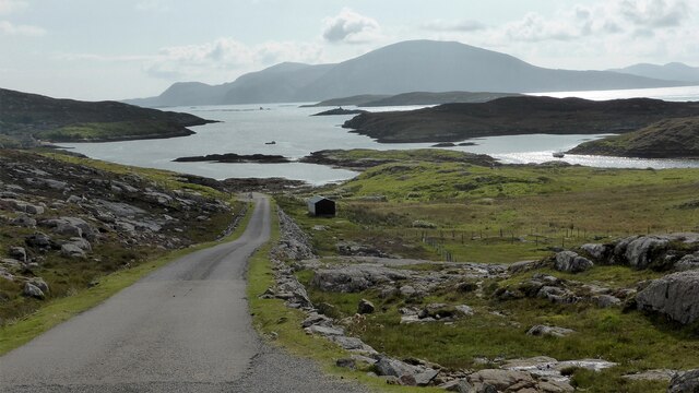
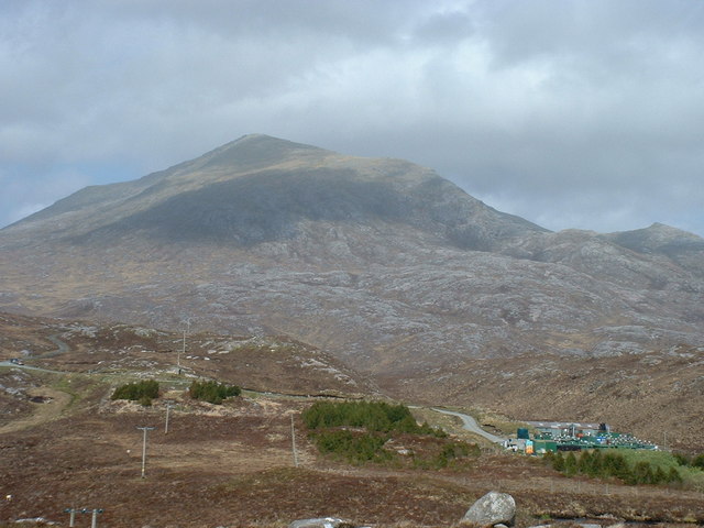
Situated on the northwestern coast of Inverness-shire, A' Chailleach offers stunning panoramic views of the surrounding area. It is characterized by steep cliffs that drop into the sea, providing a dramatic backdrop against the crashing waves below. The headland is made up of a mixture of rocky outcrops and grassy slopes, which add to its visual appeal.
A' Chailleach is a popular spot for outdoor enthusiasts and nature lovers. The headland offers ample opportunities for hiking and exploring, with several walking trails meandering through the area. The diverse flora and fauna found in the vicinity make it an ideal location for wildlife spotting, including seabirds, seals, and occasionally dolphins.
Due to its exposed location on the coast, A' Chailleach is often subjected to harsh weather conditions, including strong winds and heavy rainfall. However, this adds to the headland's wild and untamed charm, attracting photographers and artists seeking to capture its natural beauty.
In conclusion, A' Chailleach is a captivating headland located in Inverness-shire, Scotland. With its stunning cliffs, sweeping views, and abundant wildlife, it offers a memorable experience for those who visit.
If you have any feedback on the listing, please let us know in the comments section below.
A' Chailleach Images
Images are sourced within 2km of 57.953176/-7.0020493 or Grid Reference NB0406. Thanks to Geograph Open Source API. All images are credited.


A' Chailleach is located at Grid Ref: NB0406 (Lat: 57.953176, Lng: -7.0020493)
Unitary Authority: Na h-Eileanan an Iar
Police Authority: Highlands and Islands
What 3 Words
///tabs.delays.toggle. Near Tarbert, Na h-Eileanan Siar
Nearby Locations
Related Wikis

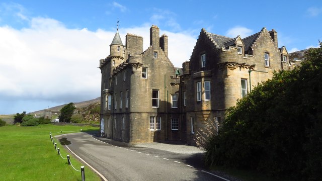
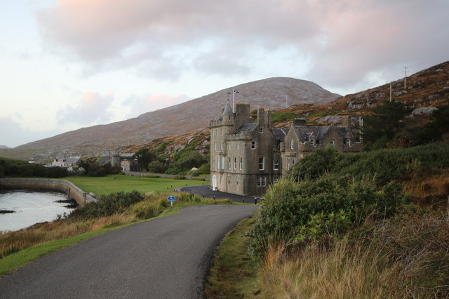
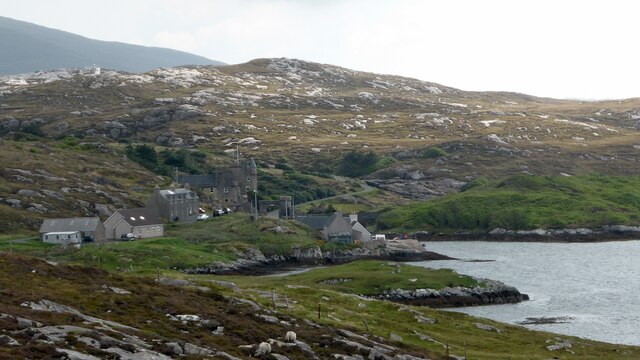
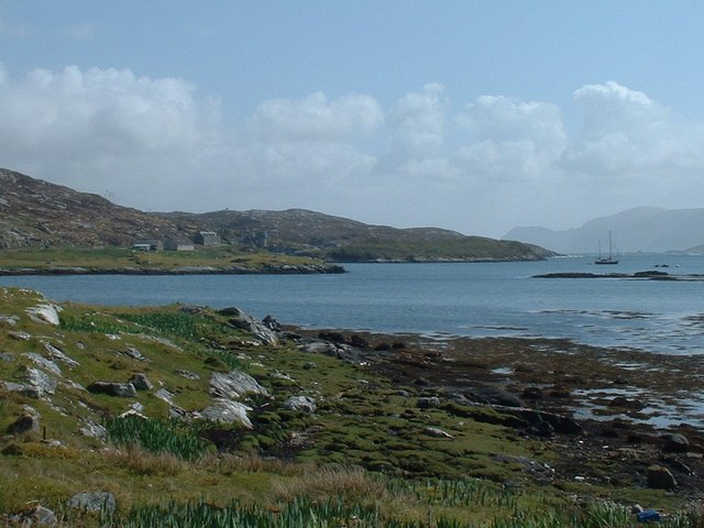
Amhuinnsuidhe Castle
Amhuinnsuidhe Castle is a large 19th-century private country house on Harris, one of the Western Isles of Scotland. It was designated as a Category A listed...

Amhuinnsuidhe
Amhuinnsuidhe (Scottish Gaelic: Abhainn Suidhe) is a settlement on Harris, in the Outer Hebrides, Scotland. The settlement is also within the parish of...

Soay Beag
Soay Beag (Scottish Gaelic: Sòdhaigh Beag) is a small, uninhabited tidal island in West Loch Tarbert, between the northern and southern parts of Harris...

Soay Sound
Soay Sound (Scottish Gaelic: Caolas Shòdhaigh) is a strait separating the islands of Soay Mòr and Soay Beag from the northern part of Harris. The sound...

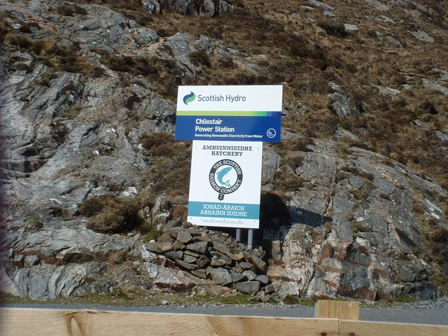
Chliostair Hydro-Electric Scheme
Chliostair Hydro-Electric Scheme is a small scheme promoted by the North of Scotland Hydro-Electric Board on Harris, Outer Hebrides. It consists of a single...

Soay Mòr
Soay Mòr (Scottish Gaelic: Sòdhaigh Mòr) is an island in West Loch Tarbert, between the northern and southern parts of Harris. The uninhabited island is...

Tiorga Mor
Tiorga Mor (679 m) is a mountain in Harris, in the Outer Hebrides of Scotland. The most westerly peak of the high mountains of Harris, it is a very rugged...

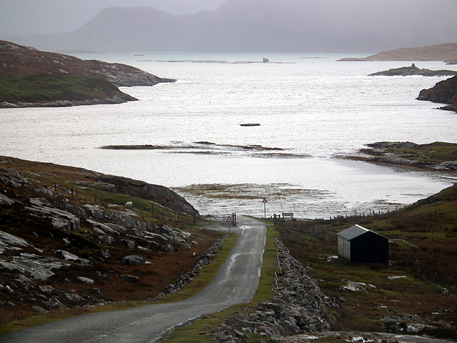
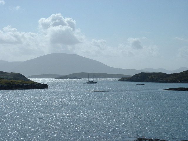
West Loch Tarbert
West Loch Tarbert (Scottish Gaelic: Loch A Siar) is a sea loch that separates the northern and southern parts of Harris in the Outer Hebrides of Scotland...
Have you been to A' Chailleach?
Leave your review of A' Chailleach below (or comments, questions and feedback).