Rubha Geodha Chruidh
Coastal Feature, Headland, Point in Ross-shire
Scotland
Rubha Geodha Chruidh
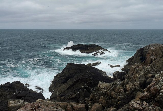
Rubha Geodha Chruidh is a captivating coastal feature located in Ross-shire, Scotland. This prominent headland, also referred to as a point, offers breathtaking views of the surrounding landscape and the vast expanse of the North Atlantic Ocean. Situated on the northwest coast of Scotland, it is nestled between the towns of Ullapool and Gairloch.
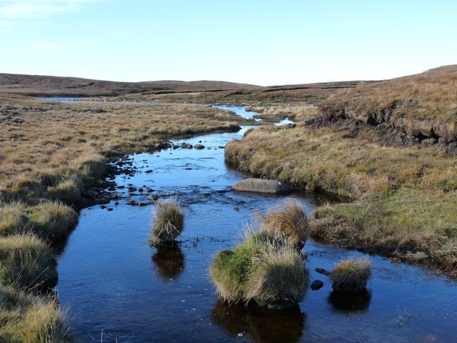
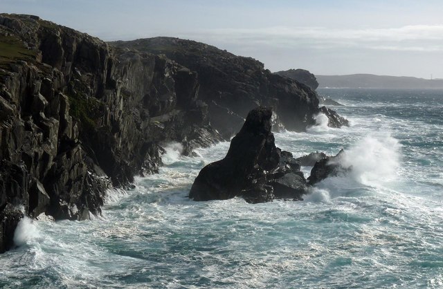
The geographical formation of Rubha Geodha Chruidh is characterized by its rugged cliffs, which rise majestically from the sea, creating a dramatic backdrop. The headland is composed of layers of ancient rock, showcasing the geological history of the region. The constant battering of the waves against the cliffs has carved out numerous sea caves and arches, adding to the allure of this coastal feature.
The area surrounding Rubha Geodha Chruidh is rich in wildlife. Seabirds such as puffins, guillemots, and razorbills can be observed nesting on the cliffs during the breeding season. The waters surrounding the headland are frequented by seals, dolphins, and even the occasional whale.
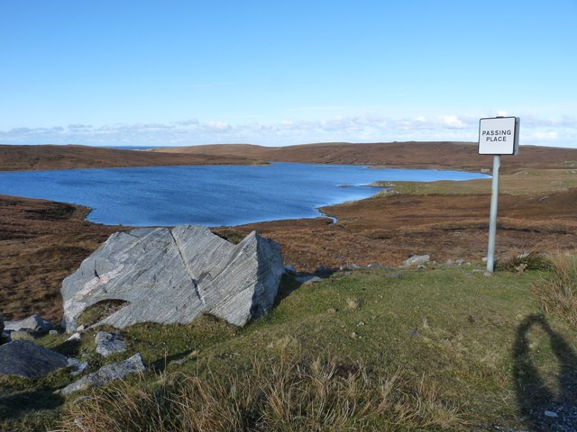
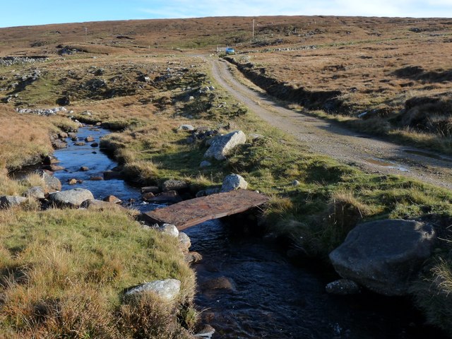
Access to Rubha Geodha Chruidh is relatively easy, with a well-maintained path leading to the headland. Visitors can enjoy a leisurely stroll along the coastal trail, taking in the panoramic views and immersing themselves in the tranquility of the surroundings. The headland is also a popular spot for fishing enthusiasts, who can cast their lines from the rocky outcrops.
Rubha Geodha Chruidh is a captivating coastal feature that combines stunning natural beauty with diverse wildlife. Whether it is for a scenic walk, birdwatching, or simply to enjoy the rugged coastal scenery, this headland is a must-visit destination in Ross-shire.
If you have any feedback on the listing, please let us know in the comments section below.
Rubha Geodha Chruidh Images
Images are sourced within 2km of 58.225071/-7.052178 or Grid Reference NB0337. Thanks to Geograph Open Source API. All images are credited.


Rubha Geodha Chruidh is located at Grid Ref: NB0337 (Lat: 58.225071, Lng: -7.052178)
Unitary Authority: Na h-Eileanan an Iar
Police Authority: Highlands and Islands
What 3 Words
///shark.arranger.rungs. Near Carloway, Na h-Eileanan Siar
Related Wikis

Aird Uig
Aird Uig (Scottish Gaelic: Àird Ùig) is a village on the Isle of Lewis, in the Outer Hebrides, Scotland. Aird Uig is within the parish of Uig, and is situated...

Camas Uig
Camas Uig (Uig Bay) is a bay on the west coast of the Isle of Lewis, in the Outer Hebrides of Scotland. The Lewis Chessmen were discovered in the dunes...

Timsgarry
Timsgarry (Scottish Gaelic: Tuimisgearraidh) is a village on the Isle of Lewis, in the Outer Hebrides, Scotland. Timsgarry is home to the Baile na Cille...

Cliff, Lewis
Cliff (Scottish Gaelic: Cliobh) is a small settlement on the Isle of Lewis, in the Outer Hebrides, Scotland. Cliff is within the parish of Uig. The settlement...

Ardroil
Ardroil (Scottish Gaelic: Eadar Dhà Fhadhail) is a village on the Isle of Lewis in the Outer Hebrides, Scotland. Ardroil is within the parish of Uig....

Uig, Lewis
Uig (Scottish Gaelic: Ùig [uːkʲ]), also known as Sgìr' Ùig, is a civil parish and community in the west of the Isle of Lewis in the Outer Hebrides, Scotland...

Abhainn Dearg distillery
Abhainn Dearg distillery ( AV-in JAIRG) or Red River distillery is a Scotch whisky distillery in Uig, on the west coast of the Isle of Lewis in the Outer...

Kneep
Kneep (Scottish Gaelic: Cnìp) is a village on the Isle of Lewis, in the Outer Hebrides, Scotland. Kneep is within the parish of Uig.Various archaeological...
Nearby Amenities
Located within 500m of 58.225071,-7.052178Have you been to Rubha Geodha Chruidh?
Leave your review of Rubha Geodha Chruidh below (or comments, questions and feedback).