Rubha Charnain

Coastal Feature, Headland, Point in Inverness-shire

Scotland

Rubha Charnain

Ruin of a small stone building next to a field boundary
Ruin of a small stone building next to a field boundary Credit: Sandy Gerrard

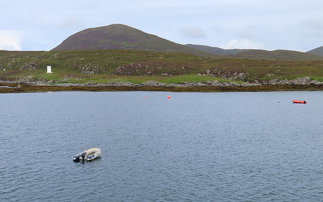
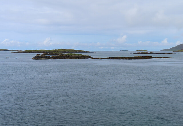
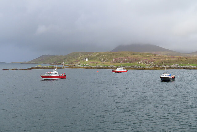
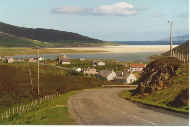
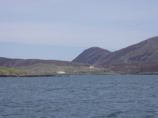
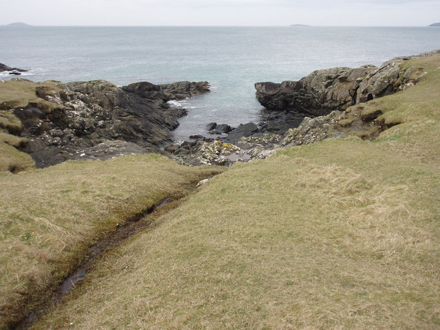
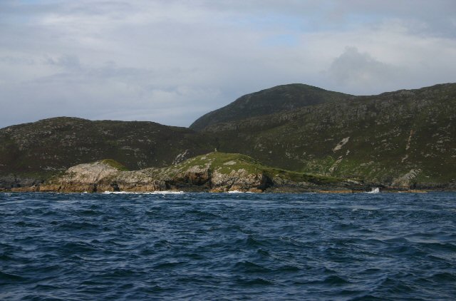
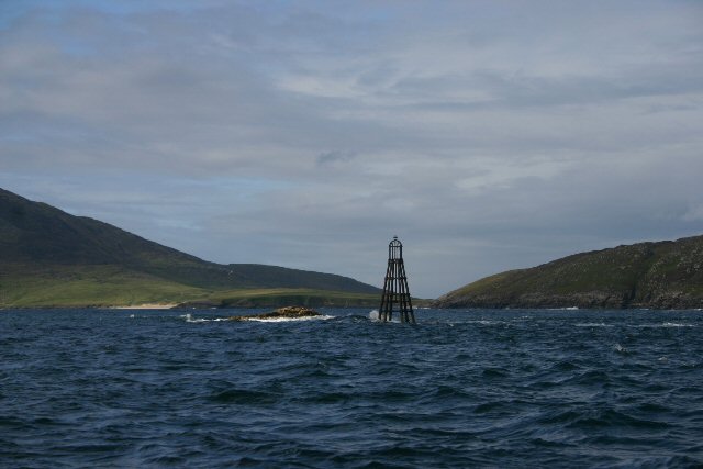
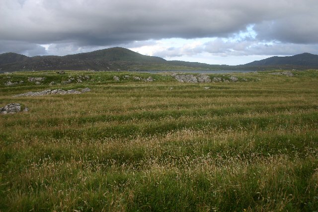
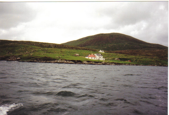
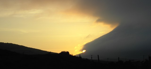
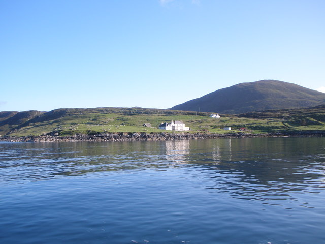
Rubha Charnain is a prominent coastal feature located in Inverness-shire, Scotland. This headland, also referred to as a point, juts out into the North Atlantic Ocean and offers breathtaking views of the surrounding landscape. Situated on the western coast of the Highlands, Rubha Charnain is known for its rugged cliffs, pristine beaches, and diverse wildlife.

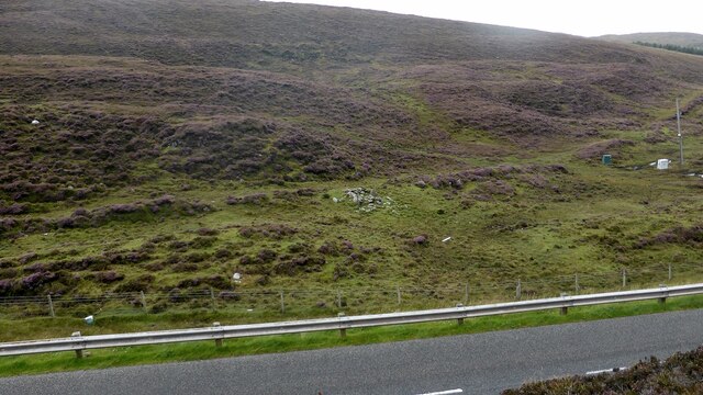
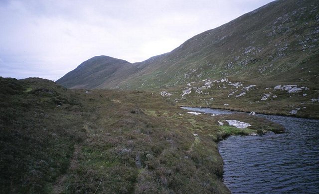
The headland is formed by a combination of geological processes, including erosion and deposition. The cliffs that line the coastline are composed of ancient rock formations, displaying layers of sedimentary rock that date back millions of years. These cliffs provide a striking backdrop against the deep blue waters of the ocean, creating a picturesque scene.

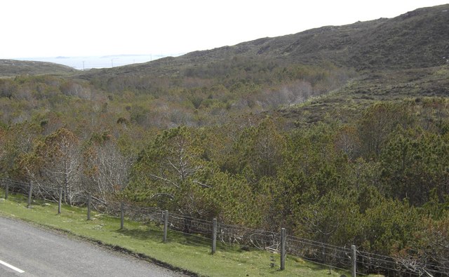
The area surrounding Rubha Charnain is rich in biodiversity. The headland serves as a nesting site for various seabirds, including gulls, puffins, and guillemots. The cliffs provide a safe haven for these birds, offering protection from predators and a prime location for raising their young. Additionally, the surrounding waters are home to seals and dolphins, which can often be spotted swimming and playing in the waves.

For visitors, Rubha Charnain offers numerous opportunities for outdoor activities. Hiking trails wind their way along the headland, providing panoramic views of the coastline and the surrounding countryside. The beaches at the foot of the cliffs offer a peaceful retreat, perfect for picnicking or simply enjoying the tranquility of the ocean.

Overall, Rubha Charnain is a stunning coastal feature that showcases the natural beauty of Inverness-shire. Its dramatic cliffs, diverse wildlife, and picturesque surroundings make it an ideal destination for nature lovers and outdoor enthusiasts.

If you have any feedback on the listing, please let us know in the comments section below.

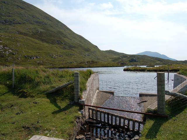
Rubha Charnain Images

Images are sourced within 2km of 57.779037/-7.0530528 or Grid Reference NF9987. Thanks to Geograph Open Source API. All images are credited.

Ruin of a small stone building next to a field boundary
Abhainn Druim a' Phund The small burn drains a lochan just up the glen. The steep hill is Maodal.
Abhainn Druim a' Phund
The small burn drains a lochan just up the glen. The steep hill is Maodal.
Rubh' an Losaid The small headland north of Leverburgh Harbour.
Rubh' an Losaid
The small headland north of Leverburgh Harbour.
Sgeir Mhic Coma The closest skerries are Sgeir Mhic Coma, and Sgeir an Arbhair is a little further away, and to the right.
Sgeir Mhic Coma
The closest skerries are Sgeir Mhic Coma, and Sgeir an Arbhair is a little further away, and to the right.
Boats at Anchor Boats just off Rubh' an Losaid at Leverburgh.
Boats at Anchor
Boats just off Rubh' an Losaid at Leverburgh.
Taobh Tuath Crofting Community
Taobh Tuath
Crofting Community
Slopes of Greabhal. Steep but easy hill above Northton. The lochan is used for water supply.
Slopes of Greabhal.
Steep but easy hill above Northton. The lochan is used for water supply.
Houses at Taigh a Chaolais South end of Harris, from the Sound
Houses at Taigh a Chaolais
South end of Harris, from the Sound
Cove on Ensay An almost deserted island on the west of the Sound of Harris
Cove on Ensay
An almost deserted island on the west of the Sound of Harris
Loch Iosal Vassary Dam at the north end of Loch Iosal Vassary.
Loch Iosal Vassary
Dam at the north end of Loch Iosal Vassary.
Stromay The small island of Stromay (Sromaigh) lies off the west coast of South Harris.  Not to be confused with a larger island of the same name which lies off the coast of North Uist.
Stromay
The small island of Stromay (Sromaigh) lies off the west coast of South Harris. Not to be confused with a larger island of the same name which lies off the coast of North Uist.
Red Rock, South Harris This rock (in Gaelic, Ceag Ruadh) is marked by a beacon and lies adjacent to the island of Stromay, off South Harris' west coast.
Red Rock, South Harris
This rock (in Gaelic, Ceag Ruadh) is marked by a beacon and lies adjacent to the island of Stromay, off South Harris' west coast.
Old lazy beds on Ensay There are signs of former cultivation all over this island. These appear to be former lazy beds.
Old lazy beds on Ensay
There are signs of former cultivation all over this island. These appear to be former lazy beds.
Kyles Lodge Sound of Harris Greaval is hill in background
Kyles Lodge Sound of Harris
Greaval is hill in background
Woodland Something unusual in this area, woodland!
Woodland
Something unusual in this area, woodland!
Sunset from Tuath The sun sinks behind the mist covered slopes of Ceapabhal.
Sunset from Tuath
The sun sinks behind the mist covered slopes of Ceapabhal.
Buildings at Rubha Charnain Access road and renovated sheiling at Rubha Charnain. Work in progress on the other building as well.
Buildings at Rubha Charnain
Access road and renovated sheiling at Rubha Charnain. Work in progress on the other building as well.
House overlooking the Sound of Harris
Show me another place!

Rubha Charnain is located at Grid Ref: NF9987 (Lat: 57.779037, Lng: -7.0530528)

Unitary Authority: Na h-Eileanan an Iar

Police Authority: Highlands and Islands

What 3 Words

///ordeals.replayed.contracts. Near Leverburgh, Na h-Eileanan Siar

Related Wikis

Ensay (Outer Hebrides)

Ensay (Gaelic Easaigh) is a currently unpopulated and privately owned island in the Outer Hebrides of Scotland. The island lies in the Sound of Harris...

Leverburgh

Leverburgh (Scottish Gaelic: An t-Òb [ən̪ˠ ˈt̪ɔːp]) is the second largest village, after Tarbert, in Harris in the Outer Hebrides of Scotland. Leverburgh...

1990 Scotland RAF Shackleton crash

On 30 April 1990, a Royal Air Force Avro Shackleton AEW Mk II aircraft, of No. 8 Squadron RAF, based at RAF Lossiemouth, crashed into a hill on the Isle...

Outer Hebrides

The Outer Hebrides ( HEB-rid-eez) or Western Isles (Scottish Gaelic: na h-Eileanan Siar [nə ˈhelanən ˈʃiəɾ] , na h-Eileanan an Iar [nə ˈhelanən əɲ ˈiəɾ...

Nearby Amenities

Located within 500m of 57.779037,-7.0530528
Barrier: cattle_grid
Lat/Long: 57.7790018/-7.0523166
Material: wood
Power: pole
Lat/Long: 57.7794939/-7.0525925
Material: wood
Power: pole
Lat/Long: 57.779067/-7.0527655
Material: wood
Power: pole
Lat/Long: 57.7802243/-7.0522961
Material: wood
Power: pole
Lat/Long: 57.7808578/-7.0520386
Material: wood
Power: pole
Lat/Long: 57.7812826/-7.0518535
Material: wood
Power: pole
Lat/Long: 57.7819306/-7.0520643
Passing Place
Lat/Long: 57.7816329/-7.0511769
Barrier: cattle_grid
Lat/Long: 57.7796027/-7.0501386
Power: pole
Lat/Long: 57.7825189/-7.0522383
Power: pole
Lat/Long: 57.7832562/-7.0524629
The data included in this document is from www.openstreetmap.org. The data is made available under ODbL.

Have you been to Rubha Charnain?

Leave your review of Rubha Charnain below (or comments, questions and feedback).