Rubha Leathann
Coastal Feature, Headland, Point in Ross-shire
Scotland
Rubha Leathann

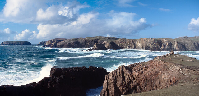
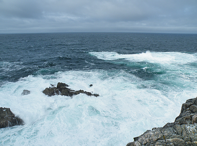
Rubha Leathann, also known as Rubha Leathann Point, is a prominent headland located in Ross-shire, Scotland. Situated on the northwest coast, it juts out into the North Atlantic Ocean, offering breathtaking views of the surrounding landscape.
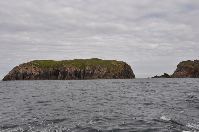
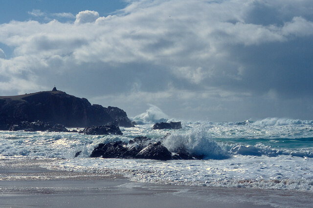
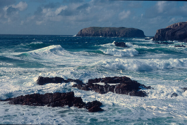
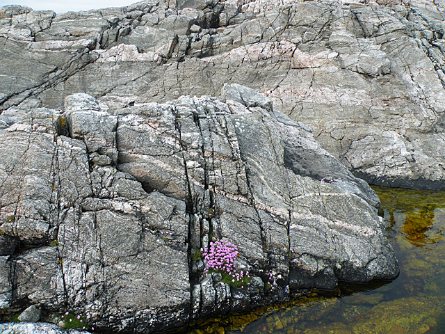
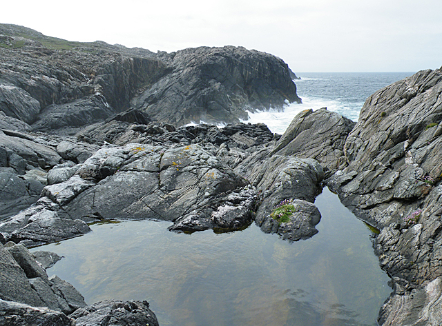
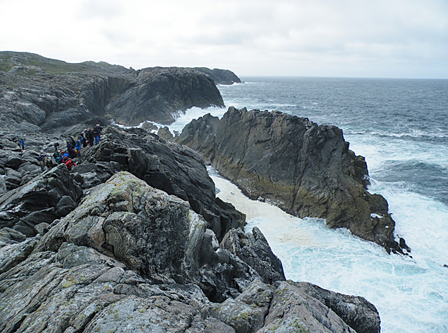
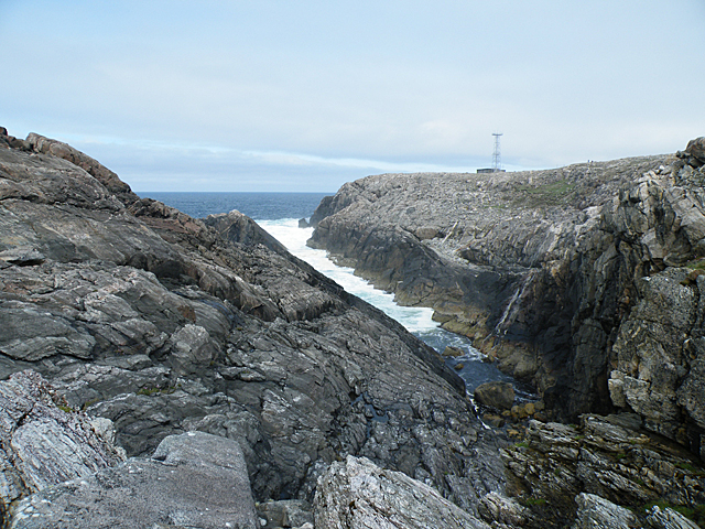
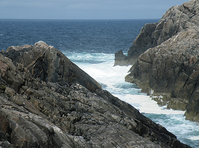
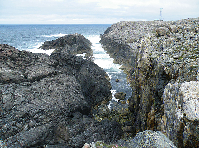
The headland is characterized by its rugged cliffs, which rise steeply from the sea and reach heights of up to 150 feet. These cliffs are composed of weathered sandstone and limestone, creating a unique geological formation that attracts geologists and nature enthusiasts alike.
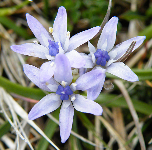
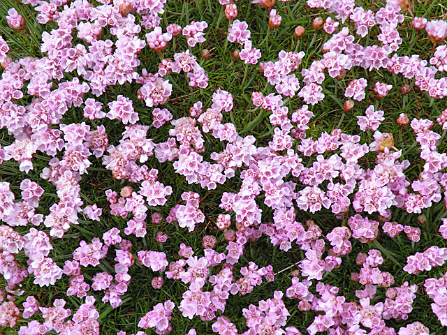
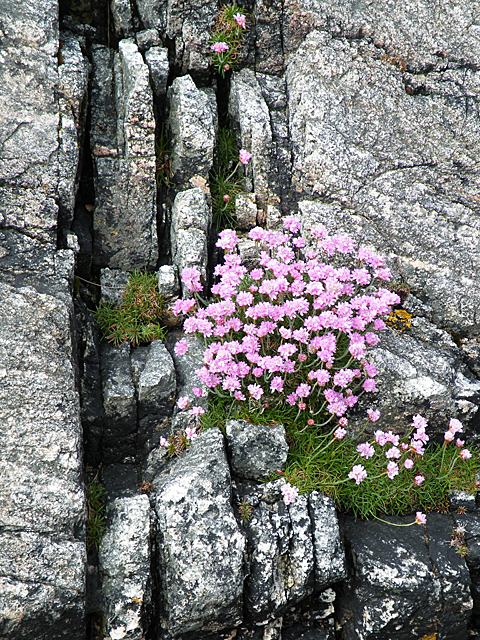
The area surrounding Rubha Leathann is rich in biodiversity, with a variety of plant and animal species calling it home. The cliffs provide nesting sites for seabirds such as puffins, guillemots, and razorbills, while the rocky shores are inhabited by marine creatures like seals and otters. The headland is also known for its wildflowers, including heather, thrift, and sea campion, which add vibrant splashes of color to the landscape.
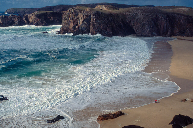
Visitors to Rubha Leathann can explore the headland via a network of walking trails that offer stunning views of the ocean and surrounding coastline. The rugged terrain can be challenging, but the effort is rewarded by the awe-inspiring vistas and the sense of tranquility that permeates the area.
In addition to its natural beauty, Rubha Leathann holds historical significance. The ruins of an Iron Age fort, known as Dun Phris, can be found on the headland. This ancient stronghold provides a fascinating glimpse into Scotland's past and serves as a reminder of the area's rich cultural heritage.
Overall, Rubha Leathann is a captivating coastal feature that combines natural beauty, ecological diversity, and historical interest. It is a must-visit destination for anyone seeking an immersive experience in the stunning Scottish landscape.
If you have any feedback on the listing, please let us know in the comments section below.
Rubha Leathann Images
Images are sourced within 2km of 58.176159/-7.1041472 or Grid Reference NB0032. Thanks to Geograph Open Source API. All images are credited.

Rubha Leathann is located at Grid Ref: NB0032 (Lat: 58.176159, Lng: -7.1041472)
Unitary Authority: Na h-Eileanan an Iar
Police Authority: Highlands and Islands
What 3 Words
///streak.relishing.reap. Near Carloway, Na h-Eileanan Siar
Related Wikis

Stac Dhòmhnaill Chaim
Stac Dhòmnuill Chaim, or Stac Dhòmhnaill Chaim, or Stac Domhnuill Chaim, is a fortified promontory located near Mangursta (or Mangersta, Scottish Gaelic...

Abhainn Dearg distillery
Abhainn Dearg distillery ( AV-in JAIRG) or Red River distillery is a Scotch whisky distillery in Uig, on the west coast of the Isle of Lewis in the Outer...

Ardroil
Ardroil (Scottish Gaelic: Eadar Dhà Fhadhail) is a village on the Isle of Lewis in the Outer Hebrides, Scotland. Ardroil is within the parish of Uig....

Uig, Lewis
Uig (Scottish Gaelic: Ùig [uːkʲ]), also known as Sgìr' Ùig, is a civil parish and community in the west of the Isle of Lewis in the Outer Hebrides, Scotland...
Related Videos

Crab walking ,Mangersta Beach, Isle of Lewis, Scotland #oo #scotland #isleoflewis
Crab walking ,Mangersta Beach, Isle of Lewis, Scotland 25th July 2013.


Mangersta Croft Holidays - Yellow Shepherds hut
Showing you the fantastic accommodation at Mangersta Croft Holidays. The Yellow Shepherds hut - Highly recommended.

Expectations V reality at our dream location | Mangersta Sea Stacks
Expectations V Reality at our dream location, Mangersta Sea Stacks Mangersta sea stacks on the isle of Lewis is a location we've ...
Nearby Amenities
Located within 500m of 58.176159,-7.1041472Have you been to Rubha Leathann?
Leave your review of Rubha Leathann below (or comments, questions and feedback).