Àird Fada
Coastal Feature, Headland, Point in Inverness-shire
Scotland
Àird Fada

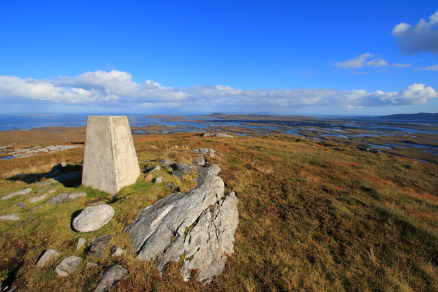
Àird Fada is a prominent coastal feature located in Inverness-shire, Scotland. This headland, also known as a point, juts out into the waters of the North Atlantic Ocean, offering breathtaking views and rugged beauty to visitors.
Situated on the western coast of Scotland, Àird Fada showcases the region's dramatic landscape with its towering cliffs and rocky terrain. The headland is formed by the gradual erosion of the surrounding land, leaving behind a distinctive promontory that stretches out into the sea. Its elevated position provides an excellent vantage point, allowing visitors to observe the surrounding waters and the distant horizon.
The cliffs of Àird Fada are composed of a variety of rock types, including sandstone and granite, which have been shaped over centuries by the relentless force of the ocean. This geological diversity contributes to the headland's unique appearance, with layers of different colors and textures visible along its steep slopes.
The area surrounding Àird Fada is rich in wildlife, attracting nature enthusiasts and birdwatchers. Seabirds such as gannets, kittiwakes, and fulmars can often be spotted nesting on the cliffs, while seals and dolphins can sometimes be observed swimming in the waters below. The headland is also home to a variety of plant species, including hardy grasses and wildflowers that cling to the rocky surfaces.
Accessible via a narrow road, Àird Fada provides a peaceful and secluded setting for visitors to explore. The headland offers a sense of tranquility and a chance to connect with nature in one of Scotland's most stunning coastal locations.
If you have any feedback on the listing, please let us know in the comments section below.
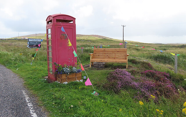
Àird Fada Images
Images are sourced within 2km of 57.651181/-7.2135152 or Grid Reference NF8974. Thanks to Geograph Open Source API. All images are credited.

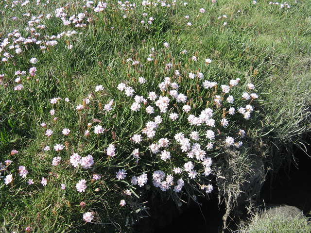
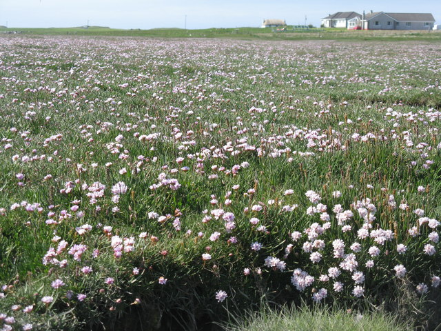
![Salt marsh at Trumaisgearraidh With a good flowering of Thrift [Armeria maritima].](https://s2.geograph.org.uk/geophotos/04/98/76/4987682_f3c46f91.jpg)
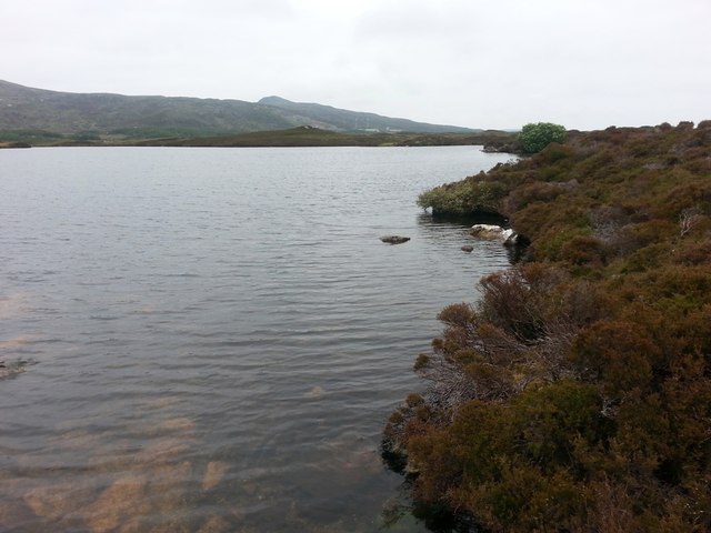
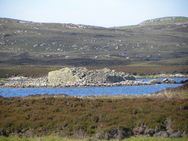
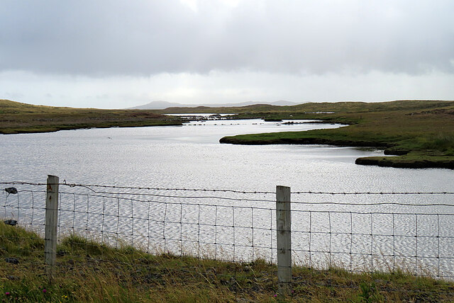
![View towards Loch an Duin The distant water translates as the Loch of the Dun, with the remains of Dun Torcuill in the middle distance [centre of photo]. The convoluted outline of the loch includes two other dun sites, both well out of sight from this point by the road.](https://s3.geograph.org.uk/geophotos/06/20/38/6203855_dded2482.jpg)
Àird Fada is located at Grid Ref: NF8974 (Lat: 57.651181, Lng: -7.2135152)
Unitary Authority: Na h-Eileanan an Iar
Police Authority: Highlands and Islands
What 3 Words
///opposite.patching.uses. Near Lochmaddy, Na h-Eileanan Siar
Nearby Locations
Related Wikis

Na Fir Bhrèige
Na Fir Bhrèige (pronounced [nə fiɾʲ ˈvɾʲeːkʲə]; can be translated from Gaelic into English as "The False Men") is a set of three standing stones on the...

Ceallasaigh Mòr
Ceallasaigh Mòr (or Keallasay More) is a low-lying island in Loch Maddy off North Uist in the Outer Hebrides of Scotland. This an area of shallow lagoons...

Dun an Sticir
Dun an Sticir (Scottish Gaelic: Dùn an Sticir [ˈt̪un əɲ ˈʃtʲiçkʲɪɾʲ]) is an Iron Age broch situated approximately 9.5 kilometers north of Lochmaddy in...

North Uist Machair and Islands
The North Uist Machair and Islands is a protected wetland area in the Outer Hebrides of Scotland. A total of 4,705 hectares comprises seven separate areas...
Have you been to Àird Fada?
Leave your review of Àird Fada below (or comments, questions and feedback).