Ceann Airigh an Obain
Coastal Feature, Headland, Point in Inverness-shire
Scotland
Ceann Airigh an Obain

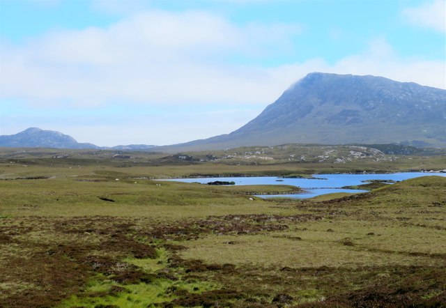
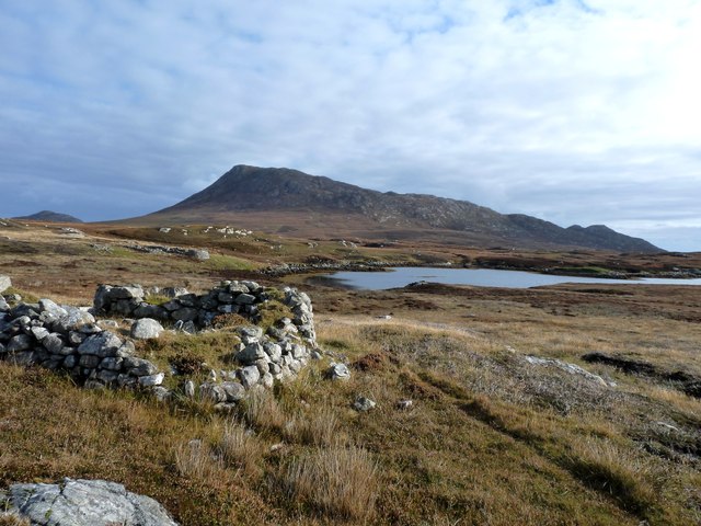
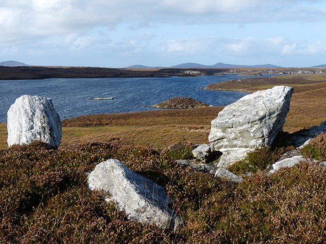
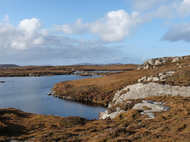
Ceann Airigh an Obain is a prominent coastal feature located in Inverness-shire, Scotland. It is a headland or point that stretches out into the Scottish Highlands, offering breathtaking views of the surrounding landscape and the vast expanse of the North Sea.
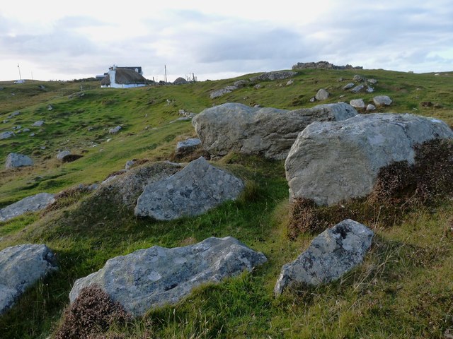
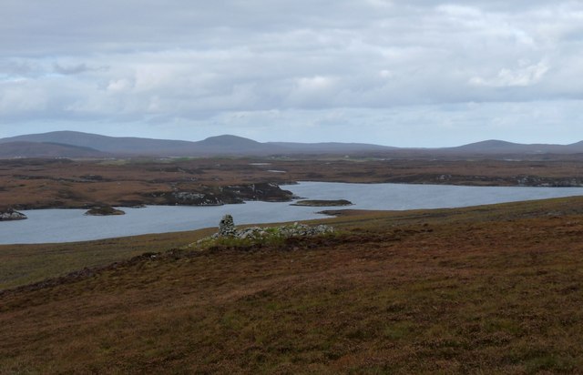
The headland of Ceann Airigh an Obain is characterized by its rugged and rocky terrain. The cliffs that make up this coastal feature rise steeply from the sea, creating a dramatic and striking visual effect. The strong waves crashing against the rocks have gradually shaped the headland over time, resulting in its distinctive appearance.
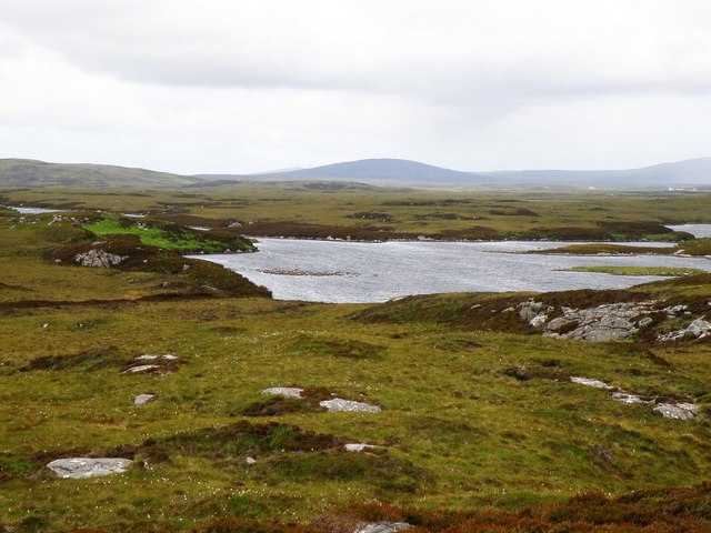
The location of Ceann Airigh an Obain makes it an excellent vantage point for spotting wildlife. Visitors to this coastal feature often have the opportunity to observe various marine animals, such as seals and dolphins, as well as a variety of seabirds that call this area home. The headland also offers panoramic views of the surrounding countryside, including rolling hills and picturesque villages.
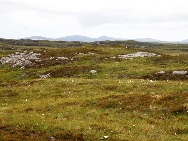
Ceann Airigh an Obain is a popular destination for nature enthusiasts and hikers, who can enjoy the diverse flora and fauna that populate the area. It is also a great spot for photography enthusiasts, who can capture the stunning coastal scenery and capture the beauty of the Scottish landscape.
Overall, Ceann Airigh an Obain is a captivating coastal feature in Inverness-shire, offering visitors a chance to immerse themselves in the natural beauty of the Scottish Highlands and enjoy the tranquility of the North Sea.
If you have any feedback on the listing, please let us know in the comments section below.
Ceann Airigh an Obain Images
Images are sourced within 2km of 57.519253/-7.2235927 or Grid Reference NF8759. Thanks to Geograph Open Source API. All images are credited.


Ceann Airigh an Obain is located at Grid Ref: NF8759 (Lat: 57.519253, Lng: -7.2235927)
Unitary Authority: Na h-Eileanan an Iar
Police Authority: Highlands and Islands
What 3 Words
///tunnel.regulates.honey. Near Lochmaddy, Na h-Eileanan Siar
Nearby Locations
Related Wikis

Fraoch-Eilean
Fraoch-eilean is a small island with an uncertain population north of Benbecula in the Outer Hebrides of Scotland. It is about 55 hectares (140 acres...

Grimsay
Grimsay (Scottish Gaelic: Griomasaigh) is a tidal island in the Outer Hebrides of Scotland. == Geography == Grimsay is the largest of the low-lying stepping...

Baile Glas
Baile Glas or Ballaglasa (Scottish Gaelic: Am Baile Glas) is a settlement on Grimsay in the Outer Hebrides, Scotland. Ballaglasa is within the parish of...

Ronay
Ronay (Scottish Gaelic: Rònaigh) is an island in the Outer Hebrides of Scotland, which lies a short distance off the east coast of Grimsay. == Geography... ==
Have you been to Ceann Airigh an Obain?
Leave your review of Ceann Airigh an Obain below (or comments, questions and feedback).