Cleit Ruadh
Coastal Feature, Headland, Point in Inverness-shire
Scotland
Cleit Ruadh
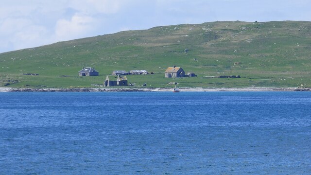
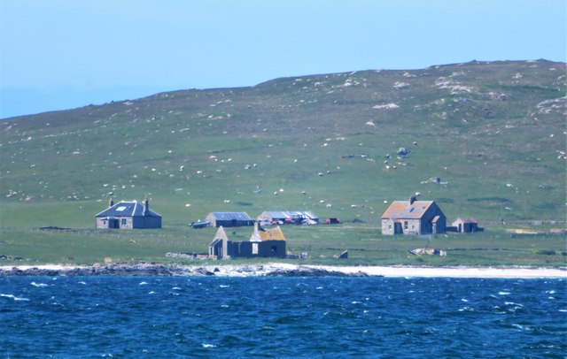
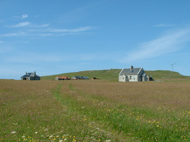
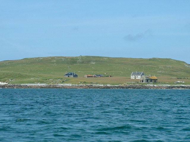
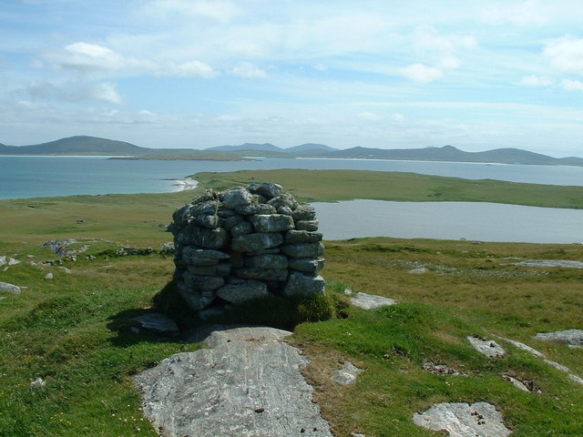
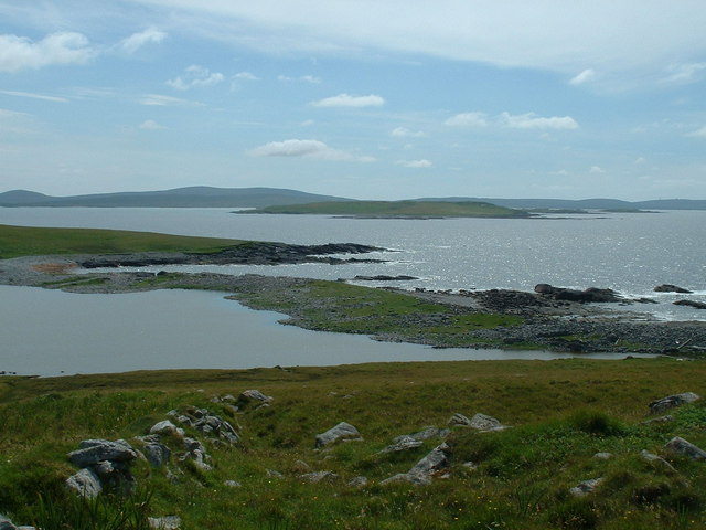
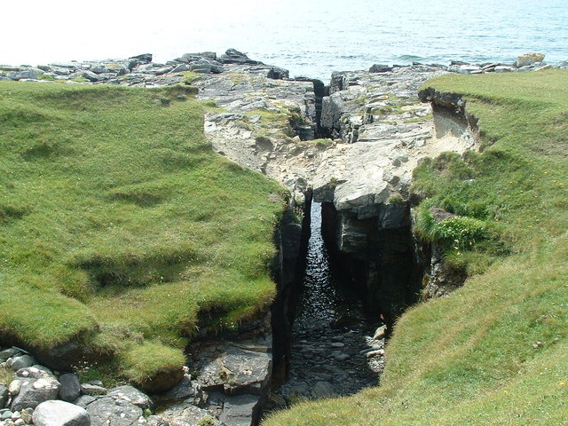
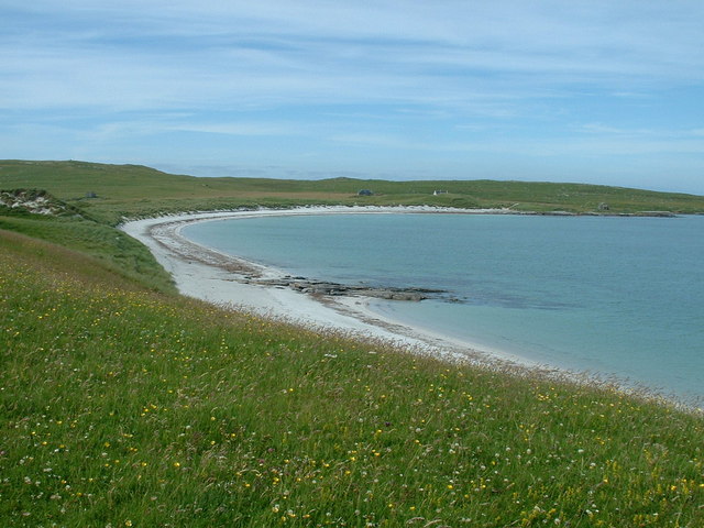
Cleit Ruadh is a prominent headland located in Inverness-shire, Scotland. This coastal feature juts out into the North Sea, providing stunning views of the surrounding landscape. The name Cleit Ruadh translates to "red cliff" in Gaelic, referencing the distinctive red sandstone cliffs that characterize the area.
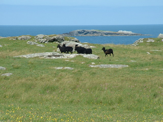
The headland of Cleit Ruadh is known for its rugged beauty and unique geological formations. Visitors to the area can explore the cliffs and rocky shoreline, taking in the sights and sounds of the crashing waves and seabirds that call this headland home. The headland is also a popular spot for birdwatching, with a variety of seabirds making their nests along the cliffs.
In addition to its natural beauty, Cleit Ruadh also holds historical significance. The headland is home to several ancient archaeological sites, including burial mounds and standing stones, providing a glimpse into the area's past.
Overall, Cleit Ruadh is a must-visit destination for nature lovers, history buffs, and anyone looking to experience the rugged beauty of the Scottish coastline.
If you have any feedback on the listing, please let us know in the comments section below.
Cleit Ruadh Images
Images are sourced within 2km of 57.716947/-7.3000251 or Grid Reference NF8482. Thanks to Geograph Open Source API. All images are credited.

Cleit Ruadh is located at Grid Ref: NF8482 (Lat: 57.716947, Lng: -7.3000251)
Unitary Authority: Na h-Eileanan an Iar
Police Authority: Highlands and Islands
What 3 Words
///walking.overpower.fools. Near Lochmaddy, Na h-Eileanan Siar
Nearby Locations
Related Wikis

Boreray, North Uist
Boreray (Scottish Gaelic: Boraraigh) is an island with a single croft, lying 2 kilometres (1.2 mi) north of North Uist in the Outer Hebrides of Scotland...

Lingeigh, North Uist
Lingeigh is an uninhabited island off North Uist, south east of Boreray. It is separated from North Uist by Traigh Lingeigh. == Footnotes ==

North Uist Machair and Islands
The North Uist Machair and Islands is a protected wetland area in the Outer Hebrides of Scotland. A total of 4,705 hectares comprises seven separate areas...

Oronsay, Outer Hebrides
Oronsay (Gaelic Orasaigh) is a tidal island off North Uist in the Outer Hebrides. Lying to the north of Vallaquie Strand, the island has been uninhabited...
Related Videos
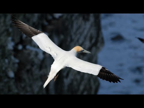
Seabirds In Flight Island Of Boreray On Visit To Archipelago Of St Kilda North Atlantic Scotland
Tour Scotland very short 4K wildlife nature camera travel video clip of seabirds in flight on the Island Of Boreray, Scottish Gaelic: ...
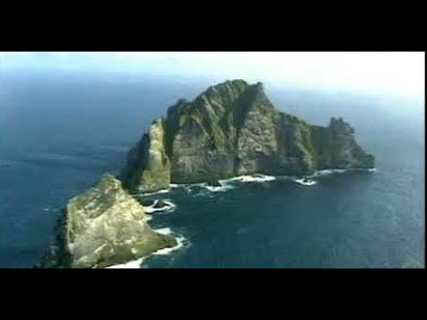
Island Of Boreray On Visit To Archipelago Of St Kilda North Atlantic Scotland
Tour Scotland travel video, with Scottish music, of the Island Of Boreray, Scottish Gaelic: Boraraigh, an uninhabited island, on visit ...

North Atlantic Ocean Island Of Boreray On Visit To Archipelago Of St Kilda North Atlantic Scotland
Tour Scotland very short 4K travel video clip of the sight and sounds of sea and waves of the North Atlantic Ocean near the Island ...
Nearby Amenities
Located within 500m of 57.716947,-7.3000251Have you been to Cleit Ruadh?
Leave your review of Cleit Ruadh below (or comments, questions and feedback).