Rubh' a' Mhanaich
Coastal Feature, Headland, Point in Inverness-shire
Scotland
Rubh' a' Mhanaich
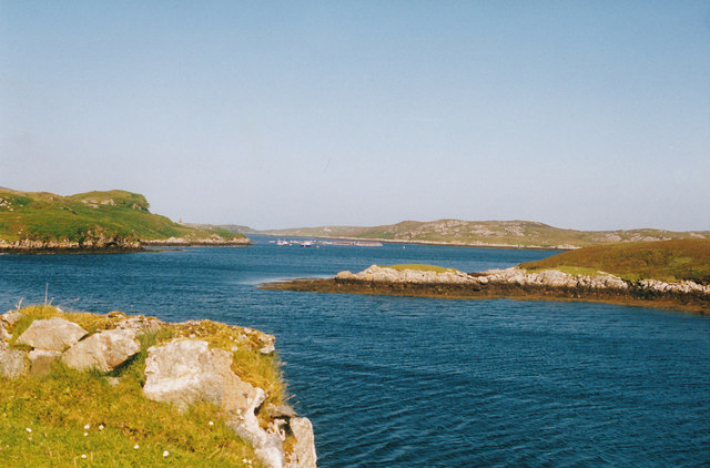
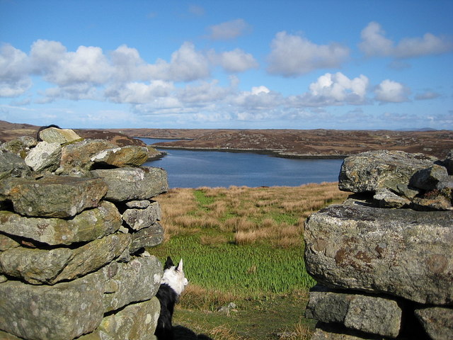
Rubh' a' Mhanaich is a prominent headland located in Inverness-shire, Scotland. Situated on the western coast, it juts out into the North Atlantic Ocean, offering breathtaking views of the surrounding landscape. The name Rubh' a' Mhanaich translates to "Monk's Point" in English, hinting at its historical significance.
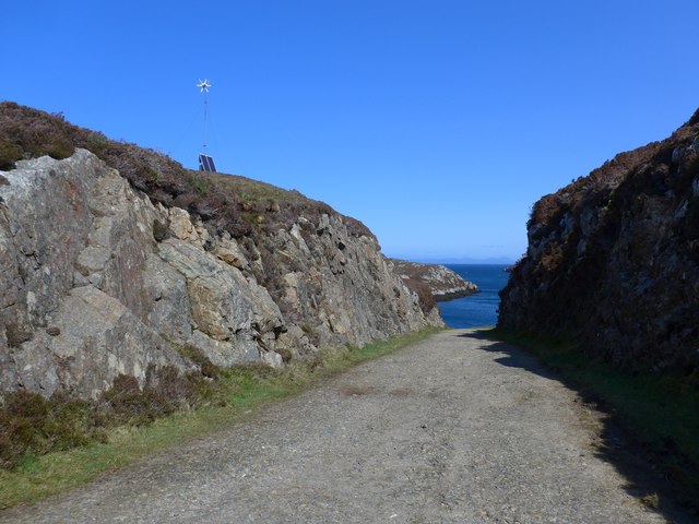
This coastal feature is characterized by its rugged cliffs, which soar high above the crashing waves below. The headland is composed of various geological formations, including layers of sedimentary rock and exposed bedrock, adding to its visual appeal. The cliffs are often veined with streaks of different colors, displaying the region's geological diversity.
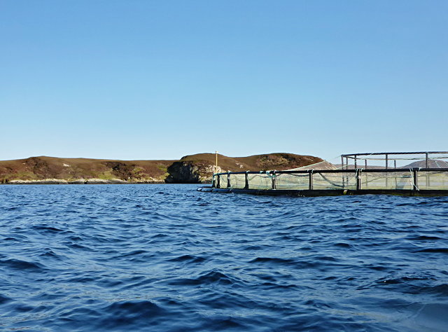
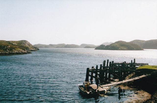
Rubh' a' Mhanaich is known for its ecological importance, serving as a habitat for numerous marine species. The nutrient-rich waters attract a variety of seabirds, including gannets, kittiwakes, and puffins, making it a popular spot for birdwatching enthusiasts. The surrounding waters are also home to seals, dolphins, and occasionally, whales, adding to the area's biodiversity.
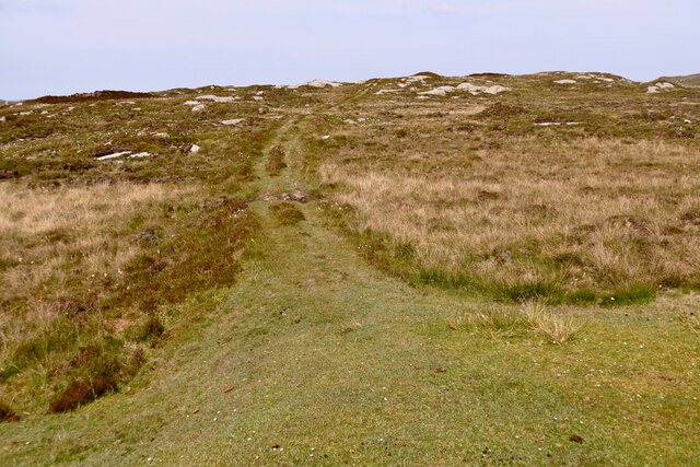
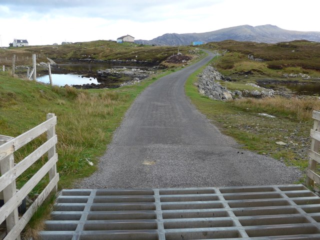
Access to Rubh' a' Mhanaich is typically through a well-maintained coastal path that offers stunning panoramic views of the sea and the surrounding countryside. The headland is a favored destination for hikers and nature lovers, providing ample opportunities for exploration and photography. Visitors can also enjoy picnicking on the grassy cliff-top areas, immersing themselves in the tranquility of the natural surroundings.
Overall, Rubh' a' Mhanaich is a captivating coastal feature that showcases the raw beauty of Scotland's western coast. With its dramatic cliffs, diverse wildlife, and picturesque views, it is a must-visit destination for nature enthusiasts and those seeking a peaceful retreat.
If you have any feedback on the listing, please let us know in the comments section below.
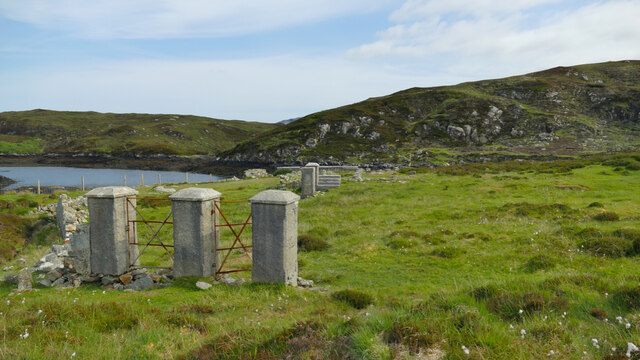
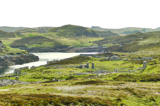
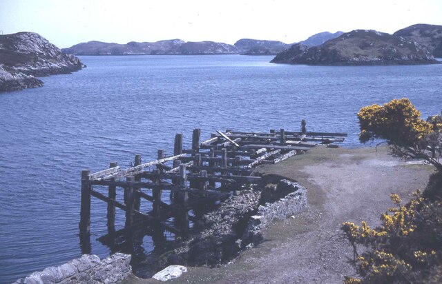
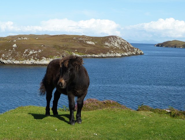
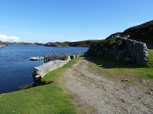
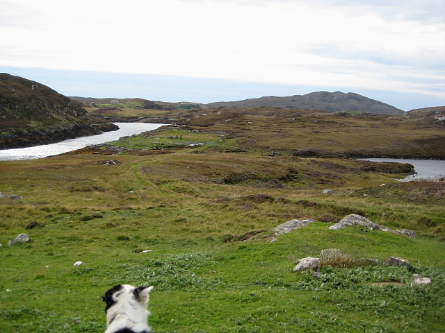
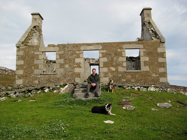
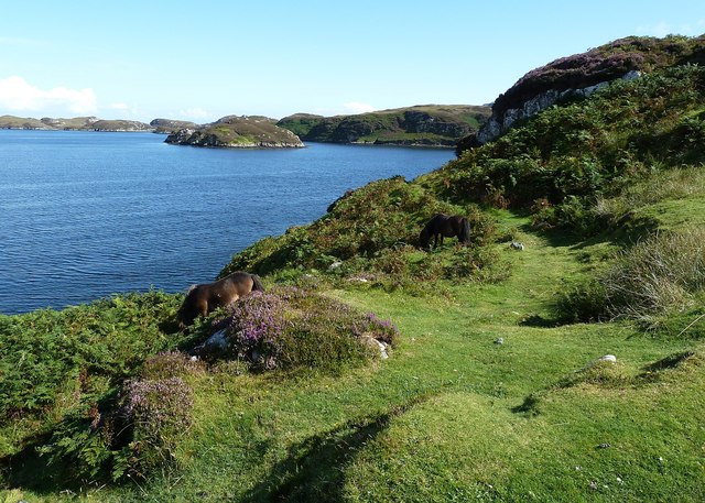
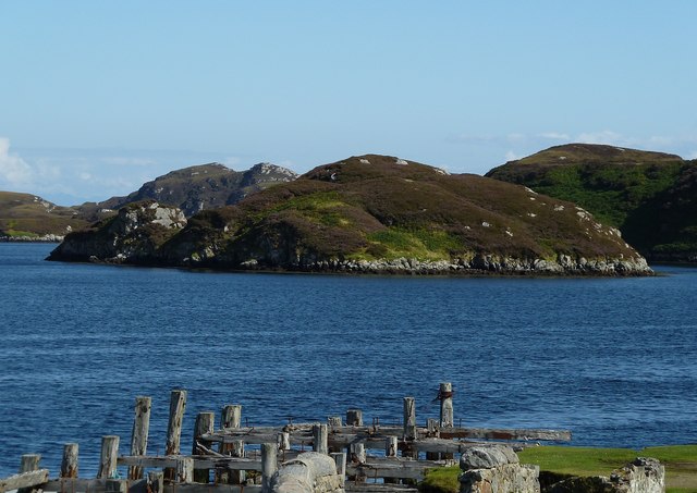
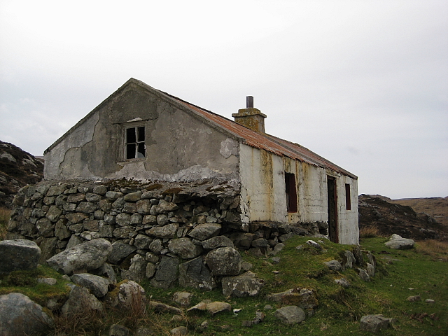
Rubh' a' Mhanaich Images
Images are sourced within 2km of 57.330191/-7.255208 or Grid Reference NF8338. Thanks to Geograph Open Source API. All images are credited.

Rubh' a' Mhanaich is located at Grid Ref: NF8338 (Lat: 57.330191, Lng: -7.255208)
Unitary Authority: Na h-Eileanan an Iar
Police Authority: Highlands and Islands
What 3 Words
///jumbo.vowel.sleeper. Near Balivanich, Na h-Eileanan Siar
Nearby Locations
Related Wikis

Loch Druidibeg
Loch Druidibeag is a freshwater loch situated on the island of South Uist, in the Outer Hebrides of Scotland. The loch is near the northern end of the...

Hecla (South Uist)
Hecla or Thacla is a mountain on the island of South Uist in the Outer Hebrides of Scotland. With a height of 606 metres (1,988 ft), it is the second-highest...

Ushenish Lighthouse
The Ushenish Lighthouse is an active lighthouse located in South Uist, Outer Hebrides, Scotland. == History == Ushenish Lighthouse was designed by engineers...

South Uist Machair and Lochs
The South Uist Machair and Lochs is a protected wetland area on the west coast of South Uist in the Outer Hebrides of Scotland. A total of 5,019 hectares...
Nearby Amenities
Located within 500m of 57.330191,-7.255208Have you been to Rubh' a' Mhanaich?
Leave your review of Rubh' a' Mhanaich below (or comments, questions and feedback).