Rubha na Brataich
Coastal Feature, Headland, Point in Inverness-shire
Scotland
Rubha na Brataich
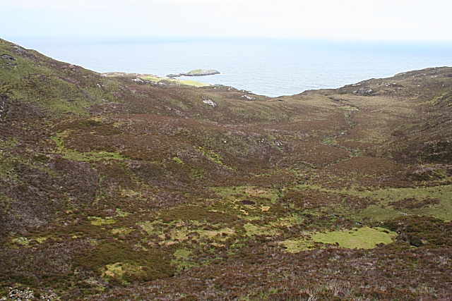
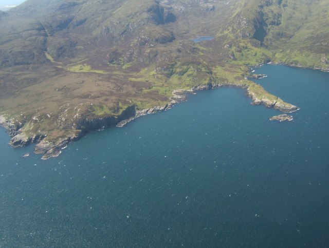
Rubha na Brataich is a prominent headland located in Inverness-shire, Scotland. Situated along the captivating coastline, it offers breathtaking views of the surrounding landscapes and the vast expanse of the North Sea. The name "Rubha na Brataich" translates to "Point of the Banners" in Gaelic, possibly referencing the strong winds that sweep across the area.
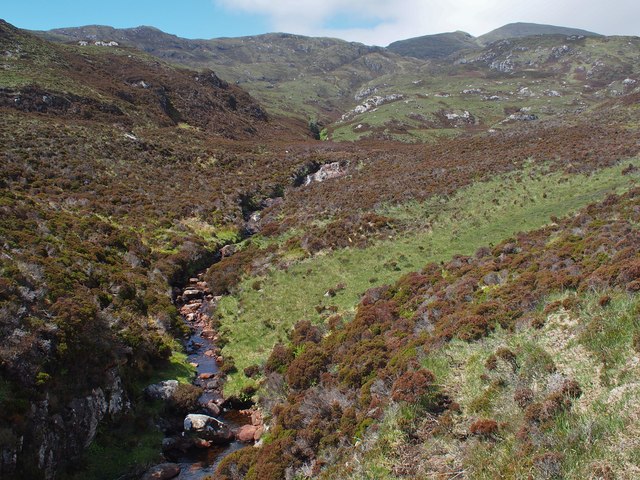
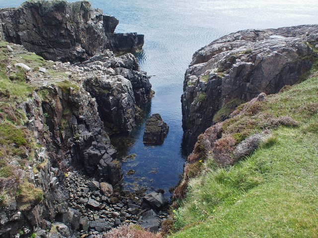
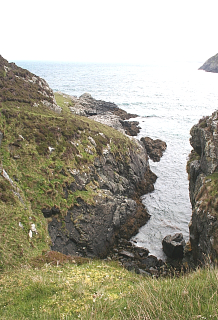
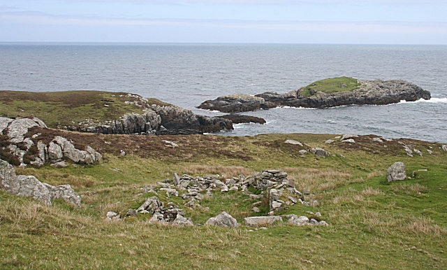
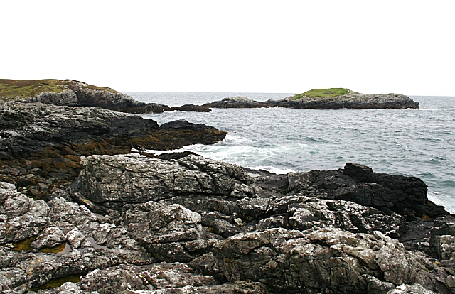
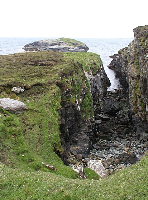
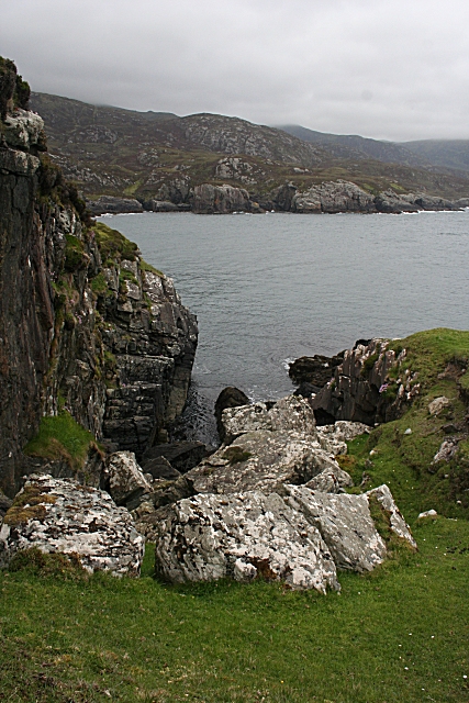
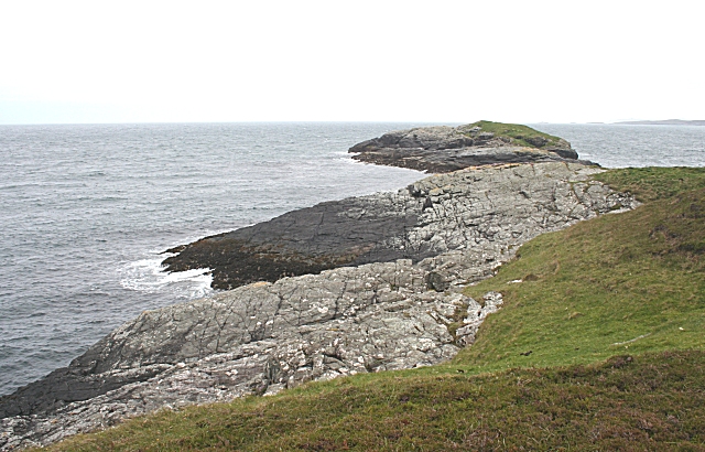
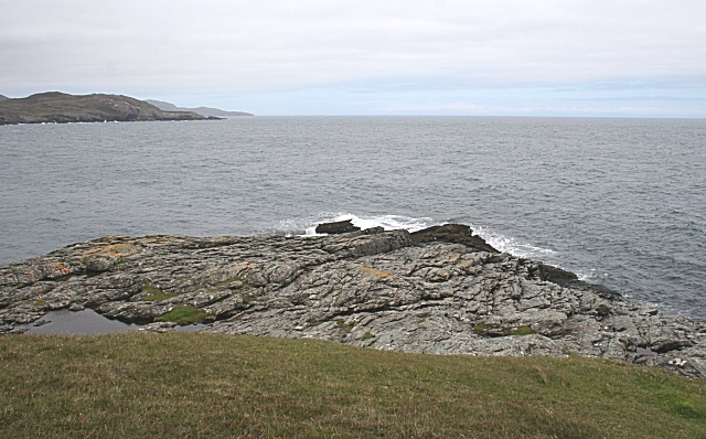
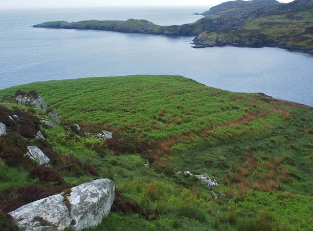
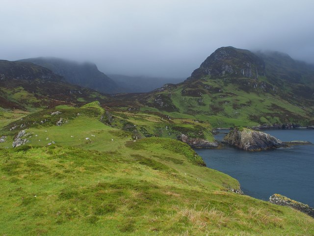
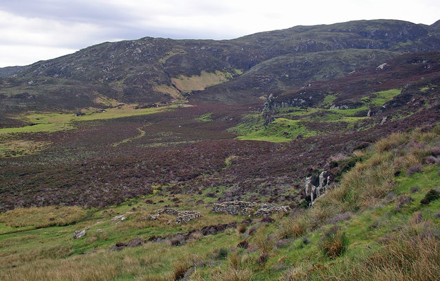
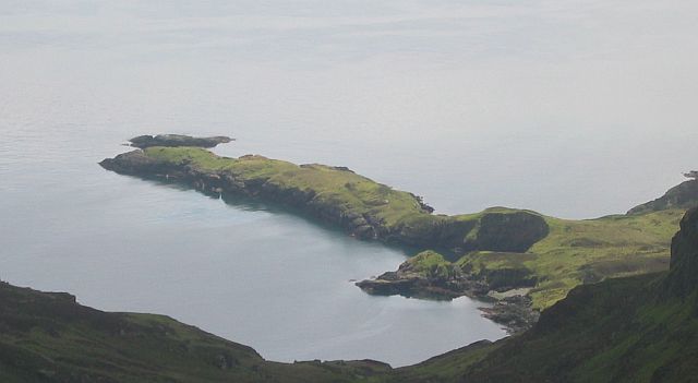
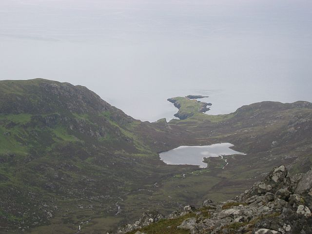
The headland is characterized by its rugged cliffs that rise steeply from the sea, forming a dramatic and imposing feature. These cliffs are composed of ancient rocks, showcasing the geological history of the region. The headland is also home to a diverse range of flora and fauna, with seabirds such as gannets and puffins nesting in the cliffs, and various wildflowers and grasses adorning the coastal slopes.
Rubha na Brataich has long been an important landmark for maritime navigation, guiding ships along the treacherous waters. Historically, it has also served as a strategic lookout point, providing a vantage point for monitoring the coastline and potential threats. The remnants of an old watchtower can still be seen on the headland, serving as a reminder of its historical significance.
For outdoor enthusiasts, Rubha na Brataich offers excellent opportunities for hiking and coastal walks. Its stunning natural beauty and panoramic views make it a popular destination for photographers and nature lovers alike. Visitors can explore the headland's rugged terrain, experience the power of the crashing waves, and immerse themselves in the tranquility of the surrounding landscape.
Overall, Rubha na Brataich is a captivating coastal feature that combines natural beauty, historical significance, and recreational opportunities, making it a must-visit destination in Inverness-shire.
If you have any feedback on the listing, please let us know in the comments section below.
Rubha na Brataich Images
Images are sourced within 2km of 57.249119/-7.2438979 or Grid Reference NF8329. Thanks to Geograph Open Source API. All images are credited.

Rubha na Brataich is located at Grid Ref: NF8329 (Lat: 57.249119, Lng: -7.2438979)
Unitary Authority: Na h-Eileanan an Iar
Police Authority: Highlands and Islands
What 3 Words
///cucumber.scrambles.jelly. Near Lochboisdale, Na h-Eileanan Siar
Nearby Locations
Related Wikis

Beinn Mhòr (South Uist)
Beinn Mhòr is a mountain on the island of South Uist in the Outer Hebrides of Scotland. With a height of 620 metres (2,034 ft), it is the highest point...

South Uist
South Uist (Scottish Gaelic: Uibhist a Deas, [ˈɯ.ɪʃtʲ ə ˈtʲes̪] ; Scots: Sooth Uist) is the second-largest island of the Outer Hebrides in Scotland. At...

Hecla (South Uist)
Hecla or Thacla is a mountain on the island of South Uist in the Outer Hebrides of Scotland. With a height of 606 metres (1,988 ft), it is the second-highest...

Ushenish Lighthouse
The Ushenish Lighthouse is an active lighthouse located in South Uist, Outer Hebrides, Scotland. == History == Ushenish Lighthouse was designed by engineers...
Have you been to Rubha na Brataich?
Leave your review of Rubha na Brataich below (or comments, questions and feedback).