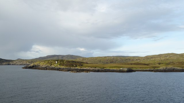
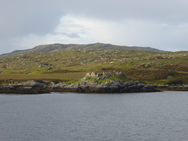
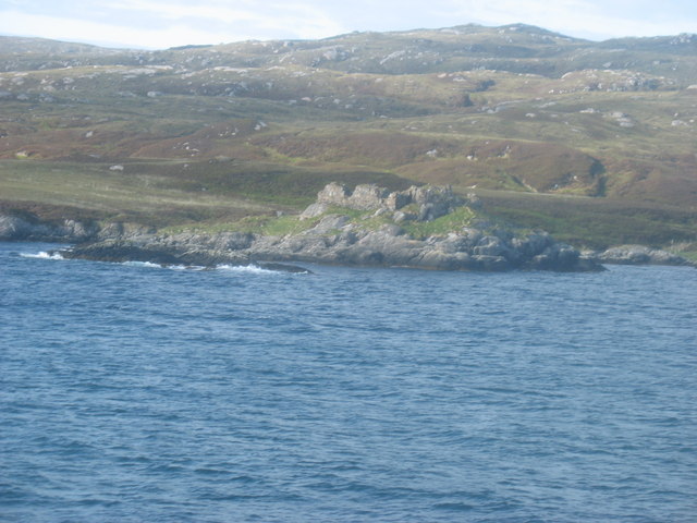
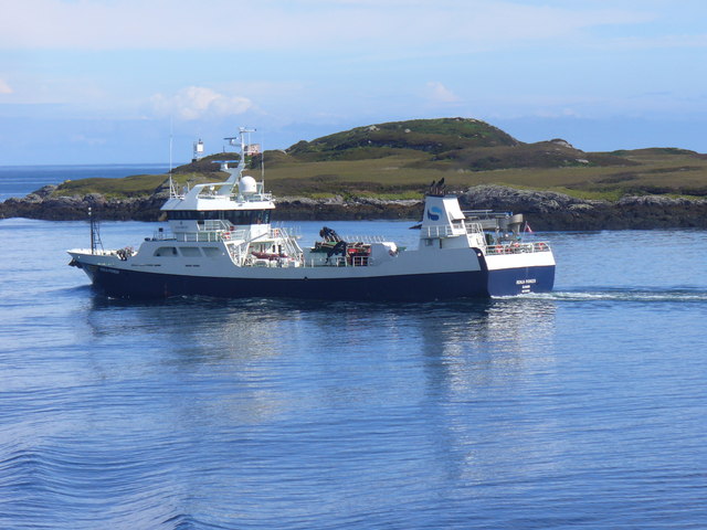
Rubha Meall an Tobha
Coastal Feature, Headland, Point in Inverness-shire
Scotland
Rubha Meall an Tobha
The requested URL returned error: 429 Too Many Requests
If you have any feedback on the listing, please let us know in the comments section below.
Rubha Meall an Tobha Images
Images are sourced within 2km of 57.134011/-7.24731 or Grid Reference NF8217. Thanks to Geograph Open Source API. All images are credited.
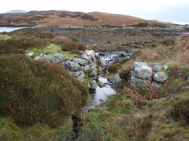

![Gleann Dail bho Tuath path This track provided access to croft houses at Hartavagh in the first quarter of the 20th century. It was used daily by children to walk to a school halfway between Hartavagh and North Glendale. [Source 25 Walks - The Western Isles, June Parker.]
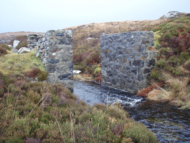
We didn&#039;t see any remains of a building when we walked the track, but there was a substantial bridge at <a href="https://www.geograph.org.uk/photo/656831">NF8116 : Ruined bridge across the Abhainn Marulaigh</a>.](https://s2.geograph.org.uk/geophotos/02/12/77/2127770_e255fb37.jpg)
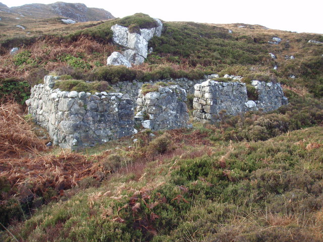
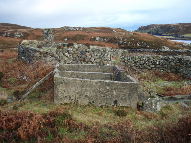
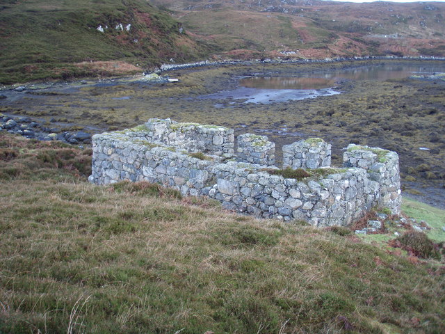
![Hartavagh The houses at Hartavagh were built when the big sheep farm at Kilbride was broken up in 1907, and were abandoned in 1927. [Source: 25 Walks - Western Isles, June Parker.]](https://s3.geograph.org.uk/geophotos/02/12/78/2127823_2455ab59.jpg)
Rubha Meall an Tobha is located at Grid Ref: NF8217 (Lat: 57.134011, Lng: -7.24731)
Unitary Authority: Na h-Eileanan an Iar
Police Authority: Highlands and Islands
What 3 Words
///perfect.catapult.winning. Near Lochboisdale, Na h-Eileanan Siar
Nearby Locations
Related Wikis

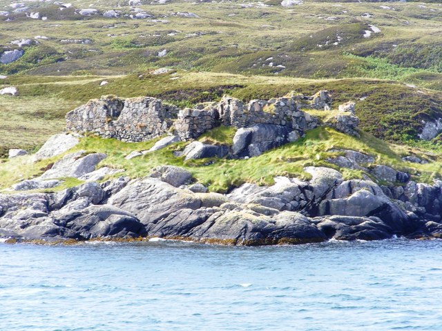
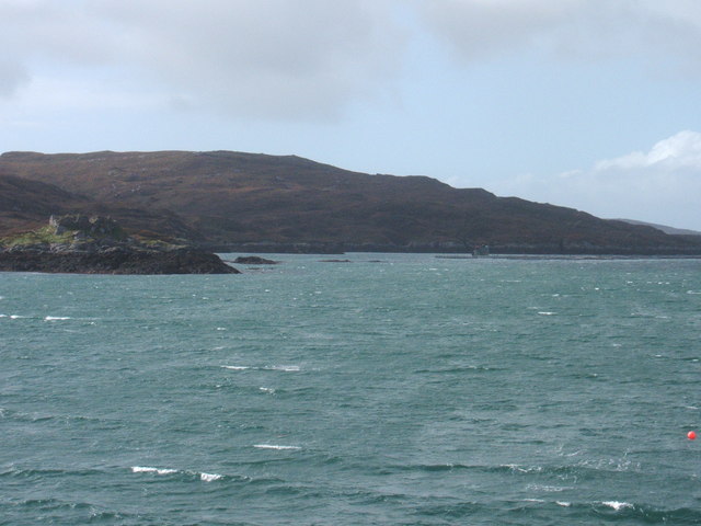
Calvay Castle
Calvay Castle (Scottish Gaelic: Caisteal Calbhaigh) is a ruined castle on an islet close to the island of Calbhaigh, at the eastern approaches to Loch...

Bun Sruth
Bun Sruth is a small loch about 70 yards (64 m) in length at the southeast extremity of the island of South Uist in the Outer Hebrides of Scotland. It...

Beinn Ruigh Choinnich
Beinn Ruigh Choinnich is a hill which overlooks the port of Lochboisdale on the east coast of the island of South Uist in the Outer Hebrides Scotland....

Eileanan Iasgaich
Na h-Eileanan Iasgaich comprise a small uninhabited archipelago in Loch Boisdale, in the south east of the island of South Uist, in the Outer Hebrides...
Have you been to Rubha Meall an Tobha?
Leave your review of Rubha Meall an Tobha below (or comments, questions and feedback).