Rubha Bhidein

Coastal Feature, Headland, Point in Inverness-shire

Scotland

Rubha Bhidein

Flodda causeway
Flodda causeway Credit: Catherine Morgan

Rubha Bhidein is a prominent coastal feature located in Inverness-shire, Scotland. It is a headland or point that juts out into the North Atlantic Ocean, offering breathtaking views of the surrounding landscape. The name Rubha Bhidein is derived from Gaelic, with "Rubha" meaning "point" and "Bhidein" referring to an ancient clan that once inhabited the area.

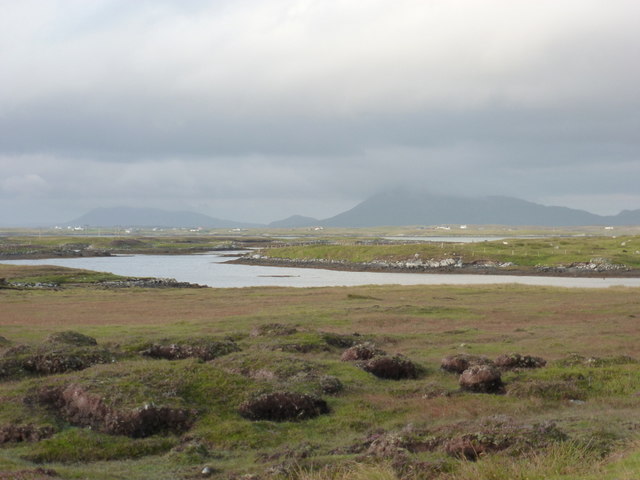
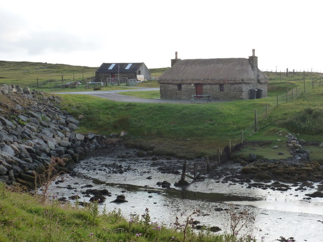
This headland is situated on the western coast of Scotland, near the town of Gairloch. It is characterized by its rugged cliffs, which rise dramatically from the sea, creating a striking visual spectacle. The headland is composed primarily of rocky terrain, with some patches of grass and heather adding a touch of greenery to the landscape.

Rubha Bhidein is known for its abundance of wildlife and is a popular spot for birdwatching enthusiasts. Visitors can often spot various seabirds, including gannets, puffins, and fulmars, as well as the occasional seal or dolphin swimming in the waters below. The surrounding waters are also rich in marine life, attracting fishermen and divers alike.

In addition to its natural beauty, Rubha Bhidein holds historical significance. The headland is home to the remains of an ancient fort, believed to have been built by the Picts, an early Celtic people who inhabited Scotland during the Iron Age. The fort provides a glimpse into the area's rich history and offers an opportunity for visitors to explore the ancient ruins.

Overall, Rubha Bhidein is a captivating coastal feature that showcases the rugged beauty and rich heritage of Inverness-shire. Its stunning views, diverse wildlife, and historical significance make it a must-visit destination for nature lovers and history enthusiasts alike.

If you have any feedback on the listing, please let us know in the comments section below.

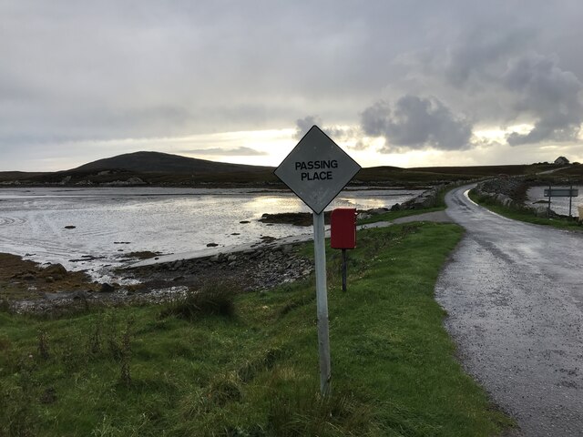
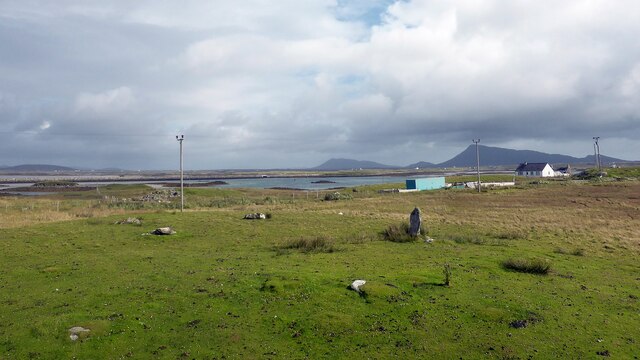
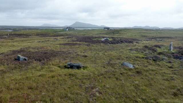
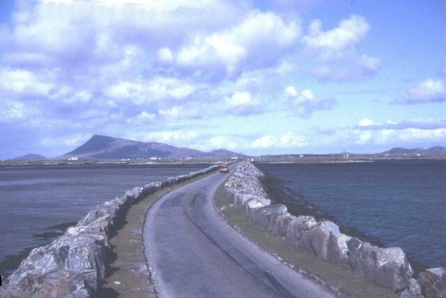
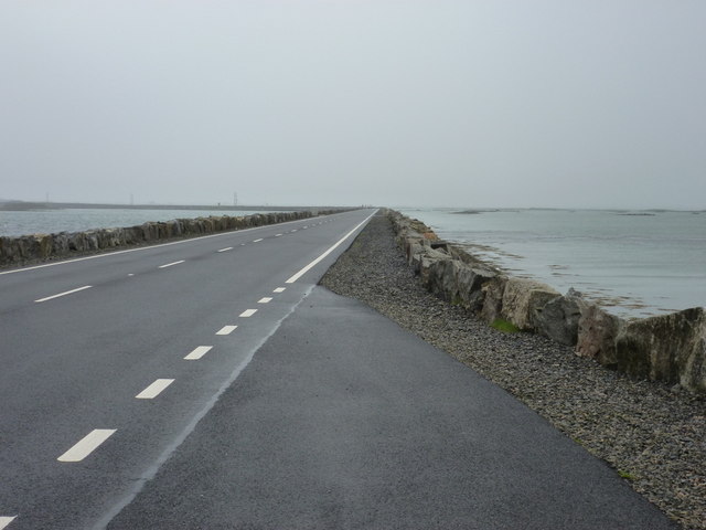
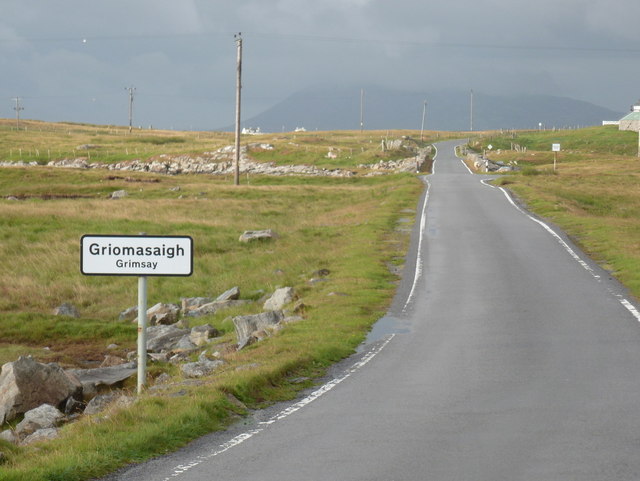
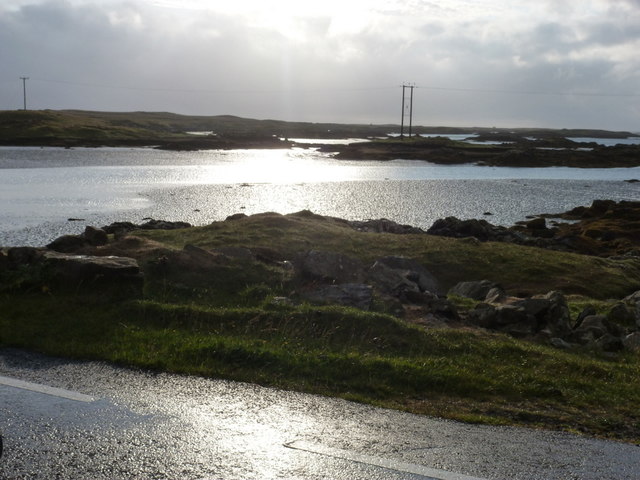
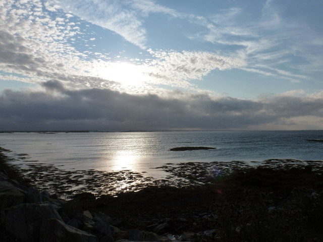
Rubha Bhidein Images

Images are sourced within 2km of 57.485451/-7.2992048 or Grid Reference NF8256. Thanks to Geograph Open Source API. All images are credited.

Flodda causeway
Flodda causeway
Oitir Mhòr
Oitir Mhòr
Gramisdale stone circle Rather mutilated prehistoric stone circle. <span class="nowrap"><a title="https://canmore.org.uk/site/10186/benbecula-gramisdale" rel="nofollow ugc noopener" href="https://canmore.org.uk/site/10186/benbecula-gramisdale">Link</a><img style="margin-left:2px;" alt="External link" title="External link - shift click to open in new window" src="https://s1.geograph.org.uk/img/external.png" width="10" height="10"/></span>
Gramisdale stone circle
Rather mutilated prehistoric stone circle. LinkExternal link
Suidheachadh Beag stone circle and chambered cairn Two large stones inside the stone circle may represent the remains of a chambered cairn. <span class="nowrap"><a title="https://canmore.org.uk/site/10187/benbecula-suidheachadh-beag" rel="nofollow ugc noopener" href="https://canmore.org.uk/site/10187/benbecula-suidheachadh-beag">Link</a><img style="margin-left:2px;" alt="External link" title="External link - shift click to open in new window" src="https://s1.geograph.org.uk/img/external.png" width="10" height="10"/></span>
Suidheachadh Beag stone circle and chambered cairn
Two large stones inside the stone circle may represent the remains of a chambered cairn. LinkExternal link
Causeway between Grimsay and Benbecula
North Ford Causeway On the north edge of Benbecula, the modern causeway leads across the Oitir Mhor to Grimsay and North Uist.
<span class="nowrap"><a title="http://www.isle-of-benbecula.co.uk/" rel="nofollow ugc noopener" href="http://www.isle-of-benbecula.co.uk/">Link</a><img style="margin-left:2px;" alt="External link" title="External link - shift click to open in new window" src="https://s1.geograph.org.uk/img/external.png" width="10" height="10"/></span>
North Ford Causeway
On the north edge of Benbecula, the modern causeway leads across the Oitir Mhor to Grimsay and North Uist. LinkExternal link
Road on Eilean na h-Airigh Leaving the causeway from Benbecula and heading for Grimsay and North Uist. Eaval / Eabhal is the North Uist mountain in the distance.
<span class="nowrap"><a title="http://www.isle-of-benbecula.co.uk/" rel="nofollow ugc noopener" href="http://www.isle-of-benbecula.co.uk/">Link</a><img style="margin-left:2px;" alt="External link" title="External link - shift click to open in new window" src="https://s1.geograph.org.uk/img/external.png" width="10" height="10"/></span>
Road on Eilean na h-Airigh
Leaving the causeway from Benbecula and heading for Grimsay and North Uist. Eaval / Eabhal is the North Uist mountain in the distance. LinkExternal link
North Ford Causeway Looking towards Benbecula along the causeway, which has recently been strengthened and widened to take a double lane road.
North Ford Causeway
Looking towards Benbecula along the causeway, which has recently been strengthened and widened to take a double lane road.
Gramsdale: postbox № HS6 40 and phone One of several postboxes which seem to have a prefix misnomer - being on Benbecula, this box is actually in the HS7, not HS6, postcode district. It stands alongside a red telephone box and this may be evidence that the post office, which opened in the summer of 1935 and closed on 5 October 1974, was in the adjacent house.
Gramsdale: postbox № HS6 40 and phone
One of several postboxes which seem to have a prefix misnomer - being on Benbecula, this box is actually in the HS7, not HS6, postcode district. It stands alongside a red telephone box and this may be evidence that the post office, which opened in the summer of 1935 and closed on 5 October 1974, was in the adjacent house.
Island Flodda: postbox № HS7 79 A small postbox serving this small island, just off the coast of Benbecula - we look across the Flodda Sound (Caolas Fhlodaigh) between the two. The box is emptied at 11am on weekdays and at 8:30am on Saturdays.
Island Flodda: postbox № HS7 79
A small postbox serving this small island, just off the coast of Benbecula - we look across the Flodda Sound (Caolas Fhlodaigh) between the two. The box is emptied at 11am on weekdays and at 8:30am on Saturdays.
Gramsdale: North Ford Causeway The A865 crosses from the island of Grimsay to Benbecula by way of this causeway, which has recently been upgraded from a single-carriageway road with passing places.
Gramsdale: North Ford Causeway
The A865 crosses from the island of Grimsay to Benbecula by way of this causeway, which has recently been upgraded from a single-carriageway road with passing places.
Grimsay: a bilingual welcome A bilingual sign welcomes motorists arriving on the island from Benbecula on the A865.
Grimsay: a bilingual welcome
A bilingual sign welcomes motorists arriving on the island from Benbecula on the A865.
Grimsay: coastal view from the A865 Looking across the carriageway of the A865 at a complicated coastline of islands, channels and inlets.
Grimsay: coastal view from the A865
Looking across the carriageway of the A865 at a complicated coastline of islands, channels and inlets.
Grimsay: view alongside the North Ford Causeway Looking alongside the causeway linking the islands of Benbecula and Grimsay.
Grimsay: view alongside the North Ford Causeway
Looking alongside the causeway linking the islands of Benbecula and Grimsay.
Gramsdale: view across Grimsay towards North Uist The hills of the southeast corner of the ise of North Uist, Eaval being the highest, are viewed across a narrow inlet at the northern end of the isle of Benbecula. Grimsay is sandwiched between the two islands.
Gramsdale: view across Grimsay towards North Uist
The hills of the southeast corner of the ise of North Uist, Eaval being the highest, are viewed across a narrow inlet at the northern end of the isle of Benbecula. Grimsay is sandwiched between the two islands.
Kyles Flodda: a thatched croft An attractive little building by the head of an inlet, across which we look, on the north coast of Benbecula.
Kyles Flodda: a thatched croft
An attractive little building by the head of an inlet, across which we look, on the north coast of Benbecula.
Gramsdale: Welcome to Benbecula A bilingual welcome to motorists travelling southward on the A865 as they arrive on the isle of Benbecula on the causeway from Grimsay.
Gramsdale: Welcome to Benbecula
A bilingual welcome to motorists travelling southward on the A865 as they arrive on the isle of Benbecula on the causeway from Grimsay.
Grimsay: the A865 passes the post office Looking south along the A865, with the driveway to <a href="https://www.geograph.org.uk/photo/3112850">NF8457 : Grimsay: the post office</a> on our immediate right.
Grimsay: the A865 passes the post office
Looking south along the A865, with the driveway to NF8457 : Grimsay: the post office on our immediate right.
Show me another place!

Rubha Bhidein is located at Grid Ref: NF8256 (Lat: 57.485451, Lng: -7.2992048)

Unitary Authority: Na h-Eileanan an Iar

Police Authority: Highlands and Islands

What 3 Words

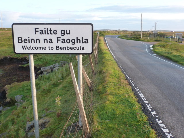
///condiment.boxer.outfitter. Near Balivanich, Na h-Eileanan Siar

Related Wikis

Flodaigh

Flodaigh is a tidal island lying to the north of Benbecula and south of Grimsay in the Outer Hebrides, Scotland. It is connected to Benbecula by a causeway...

Uachdar

Uachdar (Scottish Gaelic: An t-Uachdar [ən̪ˠ ˈt̪ʰuəxkəɾ]) is a settlement on the Outer Hebridean Island of Benbecula. Uachdar is within the parish of South...

Baile Glas

Baile Glas or Ballaglasa (Scottish Gaelic: Am Baile Glas) is a settlement on Grimsay in the Outer Hebrides, Scotland. Ballaglasa is within the parish of...

Bail' Iochdrach

Bail' Iochdrach or Baliochrach (Scottish Gaelic: Am Baile Ìochdrach) is a village on Benbecula in the Outer Hebrides, Scotland. Baliochrach is within the...

Nearby Amenities

Located within 500m of 57.485451,-7.2992048
Passing Place
Lat/Long: 57.4835702/-7.3036524
Passing Place
Lat/Long: 57.4847466/-7.3022822
Passing Place
Lat/Long: 57.482572/-7.3056385
Passing Place
Lat/Long: 57.4875186/-7.3010771
Passing Place
Lat/Long: 57.4891927/-7.299697
Passing Place
Lat/Long: 57.4853874/-7.3020219
Stone Circle
Historic: ruins
Lat/Long: 57.4839741/-7.3000231
Rudha Bhidein
Natural: cape
Lat/Long: 57.4859307/-7.2988261
Rudha na Làire
Natural: cape
Note: https://scotlandsplaces.gov.uk/digital-volumes/ordnance-survey-name-books/inverness-shire-os-name-books-1876-1878/inverness-shire-outer-hebrides-volume-10/13
Lat/Long: 57.4852478/-7.3039596
Disused: yes
Man Made: water_well
Lat/Long: 57.4852038/-7.2965645
Power: pole
Lat/Long: 57.4827132/-7.2926232
Power: pole
Lat/Long: 57.4821797/-7.2950211
Power: pole
Lat/Long: 57.4819764/-7.2961181
Power: pole
Lat/Long: 57.4817342/-7.2971642
Power: pole
Lat/Long: 57.4813478/-7.2983766
Power: pole
Lat/Long: 57.481019/-7.2994119
Power: pole
Lat/Long: 57.4827458/-7.3044874
Power: pole
Lat/Long: 57.4833519/-7.3039004
Power: pole
Lat/Long: 57.4839255/-7.3032562
Power: pole
Lat/Long: 57.4839906/-7.3021096
Power: pole
Lat/Long: 57.484044/-7.3010647
Power: pole
Lat/Long: 57.4841236/-7.2998601
Power: pole
Lat/Long: 57.4841756/-7.2989358
Power: pole
Lat/Long: 57.4842339/-7.2980223
Power: pole
Lat/Long: 57.4843428/-7.29757
Power: pole
Lat/Long: 57.4845121/-7.2968788
Power: pole
Lat/Long: 57.4846564/-7.296323
Barrier: cattle_grid
Lat/Long: 57.48477/-7.3025878
Barrier: cattle_grid
Lat/Long: 57.4842661/-7.3021878
Barrier: cattle_grid
Lat/Long: 57.4843261/-7.3004127
Gramsdal
Direction: 15
Traffic Sign: city_limit
Lat/Long: 57.48465/-7.3022845
The data included in this document is from www.openstreetmap.org. The data is made available under ODbL.

Have you been to Rubha Bhidein?

Leave your review of Rubha Bhidein below (or comments, questions and feedback).