Rubha na Làire
Coastal Feature, Headland, Point in Inverness-shire
Scotland
Rubha na Làire
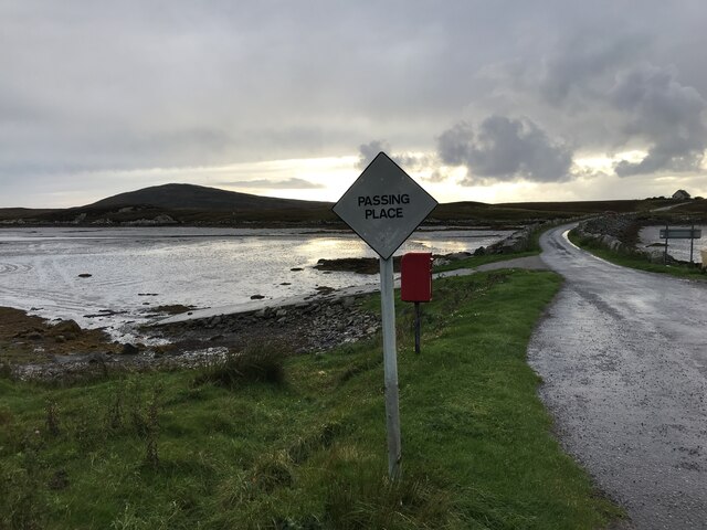
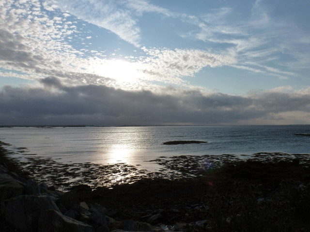
Rubha na Làire is a prominent coastal feature located in Inverness-shire, Scotland. It is a headland that juts out into the North Atlantic Ocean, forming a point along the rugged coastline. The name "Rubha na Làire" translates to "point of the mare" in English, reflecting its historical connection to the surrounding maritime activities.
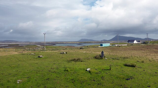
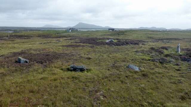
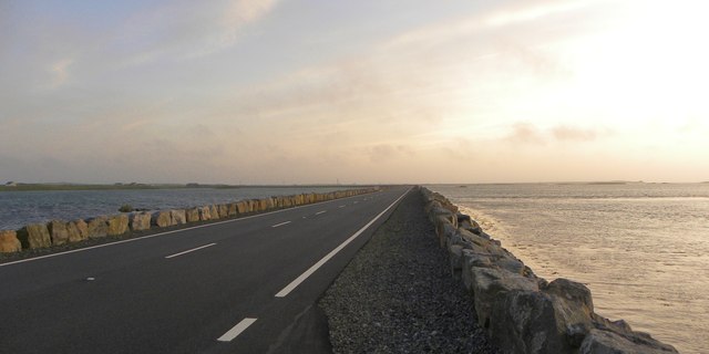
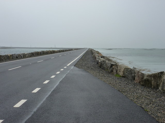
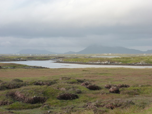
This headland is characterized by its picturesque beauty and dramatic cliffs that plunge into the sea. The rugged terrain offers breathtaking panoramic views of the ocean and the surrounding landscape. The headland is also known for its diverse wildlife, with seabirds nesting on the cliffs and seals often seen basking on nearby rocks.
Rubha na Làire is a popular destination for outdoor enthusiasts, offering opportunities for hiking, bird-watching, and photography. Visitors can explore the well-maintained trails that wind along the headland, providing access to the stunning coastal views. The unique geology of the area, with its exposed rock formations and sea stacks, adds to the allure of this coastal feature.
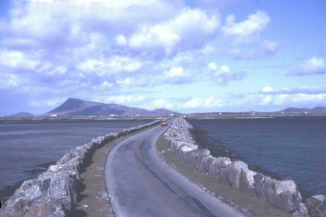
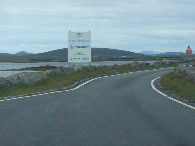
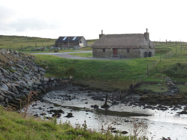
The headland is easily accessible by road, with a nearby parking area for visitors. It is also conveniently located near other attractions, such as picturesque coastal villages and historical sites. Rubha na Làire is an ideal spot for those seeking tranquility and natural beauty, and it continues to captivate visitors with its rugged charm and breathtaking vistas.
If you have any feedback on the listing, please let us know in the comments section below.
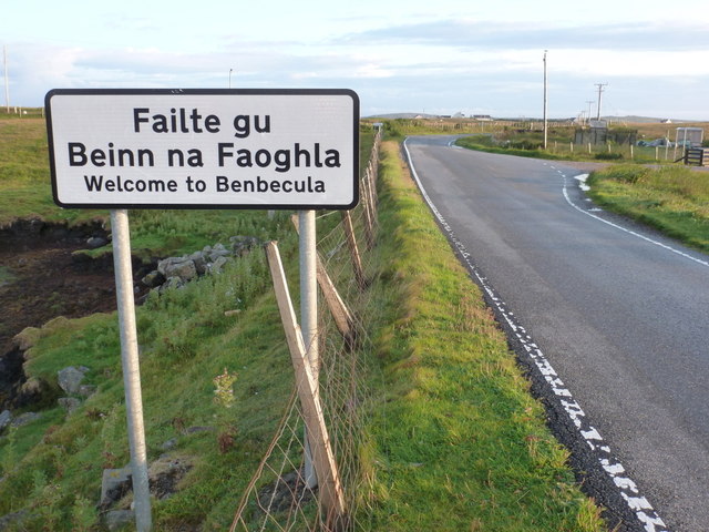
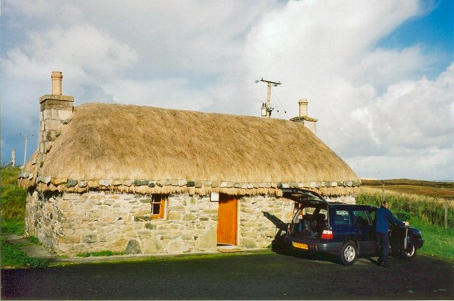
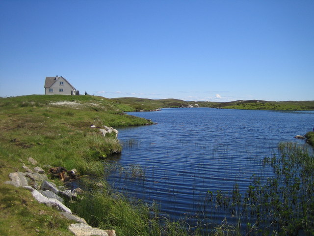
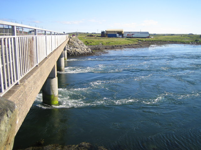
Rubha na Làire Images
Images are sourced within 2km of 57.484555/-7.3031849 or Grid Reference NF8256. Thanks to Geograph Open Source API. All images are credited.


Rubha na Làire is located at Grid Ref: NF8256 (Lat: 57.484555, Lng: -7.3031849)
Unitary Authority: Na h-Eileanan an Iar
Police Authority: Highlands and Islands
What 3 Words
///spits.buying.asterisk. Near Balivanich, Na h-Eileanan Siar
Nearby Locations
Related Wikis

Uachdar
Uachdar (Scottish Gaelic: An t-Uachdar [ən̪ˠ ˈt̪ʰuəxkəɾ]) is a settlement on the Outer Hebridean Island of Benbecula. Uachdar is within the parish of South...

Flodaigh
Flodaigh is a tidal island lying to the north of Benbecula and south of Grimsay in the Outer Hebrides, Scotland. It is connected to Benbecula by a causeway...

Baile Glas
Baile Glas or Ballaglasa (Scottish Gaelic: Am Baile Glas) is a settlement on Grimsay in the Outer Hebrides, Scotland. Ballaglasa is within the parish of...

Bail' Iochdrach
Bail' Iochdrach or Baliochrach (Scottish Gaelic: Am Baile Ìochdrach) is a village on Benbecula in the Outer Hebrides, Scotland. Baliochrach is within the...

Benbecula Airport
Benbecula Airport (Scottish Gaelic: Port-adhair Bheinn na Faoghla) (IATA: BEB, ICAO: EGPL) is located on the island of Benbecula in the Outer Hebrides...

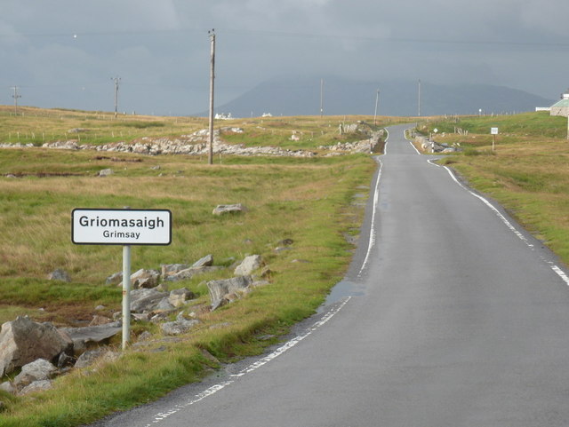
Grimsay
Grimsay (Scottish Gaelic: Griomasaigh) is a tidal island in the Outer Hebrides of Scotland. == Geography == Grimsay is the largest of the low-lying stepping...

Fraoch-Eilean
Fraoch-eilean is a small island with an uncertain population north of Benbecula in the Outer Hebrides of Scotland. It is about 55 hectares (140 acres...

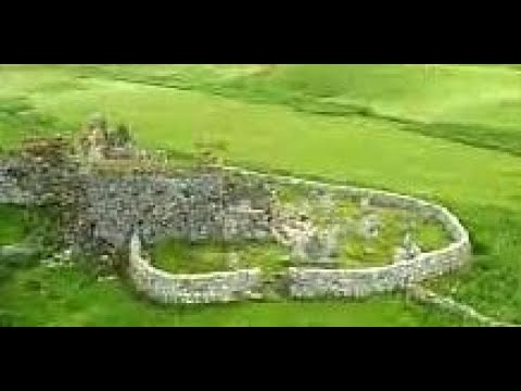
Teampull na Trionaid
Teampull na Trionaid ("trinity church") is a ruined 13th-century Augustinian nunnery at Carinish, on North Uist, in the Outer Hebrides of Scotland. �...
Related Videos
Trinity Temple On Visit To Carinish Island Of North Uist Outer Hebrides Scotland
Tour Scotland travel video clip, with Scottish music, of Trinity Temple on visit to Carinish on the Island of North Uist in the Outer ...

Teampull na Trionaid With Music On Visit To Carinish Island Of North Uist Outer Hebrides Scotland
Tour Scotland 4K travel video, with Scottish music, of Trinity Temple on ancestry, genealogy, family history visit to Carinish on the ...

Biking to the Beach on Benbecula
Day 8 of this trip. Thanks to my Airbnb host for the generous loan of his bike. Had a lovely peaceful day out exploring beaches and ...

Teampull na Trionaid On Visit To Carinish Island Of North Uist Outer Hebrides Scotland
Tour Scotland travel video, with Scottish music, of Teampull na Trionaid on visit to Carinish on the Island of North Uist in the Outer ...
Nearby Amenities
Located within 500m of 57.484555,-7.3031849Have you been to Rubha na Làire?
Leave your review of Rubha na Làire below (or comments, questions and feedback).