Rubha Dubh

Coastal Feature, Headland, Point in Inverness-shire

Scotland

Rubha Dubh

Permit fishing only By the footbridge at Oratobht.  The distant hills are Triuirebheinn (left) and Beinn Ruigh Choinnich (right).  There is a ford here also.
Permit fishing only Credit: Julian Paren

Rubha Dubh is a prominent headland located in Inverness-shire, a county in the Scottish Highlands region. Situated along the stunning west coast of Scotland, this coastal feature is known for its rugged beauty and captivating landscape.

With its Gaelic name translating to "Black Point," Rubha Dubh is characterized by its dark rocky cliffs that jut out into the North Atlantic Ocean. The headland is situated at the mouth of a small bay, offering breathtaking panoramic views of the surrounding sea and the distant mountains.

The headland is easily accessible, with a well-maintained footpath that winds its way along the coastline. This allows visitors to explore the area and take in the breathtaking scenery at their own pace. The path offers a close-up view of the dramatic cliffs and provides opportunities for wildlife spotting, including seabirds such as gannets and puffins.

Rubha Dubh is also known for its historical significance. The headland was once home to an ancient settlement, with remains of Iron Age structures and artifacts being discovered in the area. This provides a fascinating glimpse into the region's rich history and the lives of its early inhabitants.

Visitors to Rubha Dubh can enjoy a variety of outdoor activities, including hiking, birdwatching, and photography. The headland's remote location and natural beauty make it an ideal destination for nature enthusiasts and those seeking a tranquil escape from the hustle and bustle of everyday life.

Overall, Rubha Dubh is a captivating coastal feature that offers a unique blend of natural beauty and historical significance. Its rugged cliffs, stunning views, and rich history make it a must-visit destination for anyone exploring the Inverness-shire region.

If you have any feedback on the listing, please let us know in the comments section below.
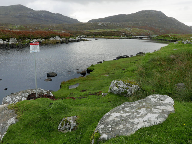
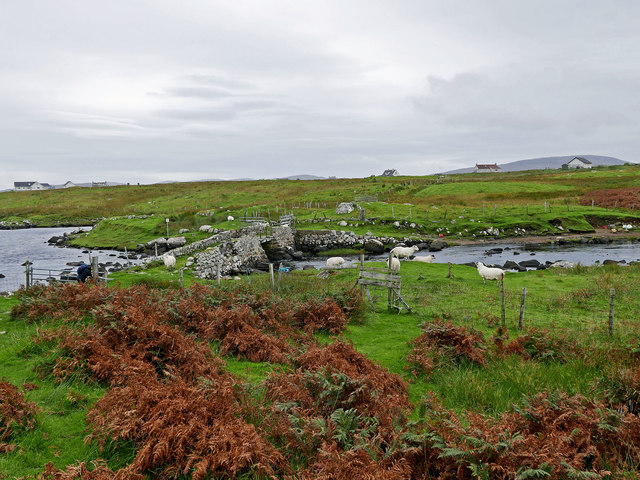
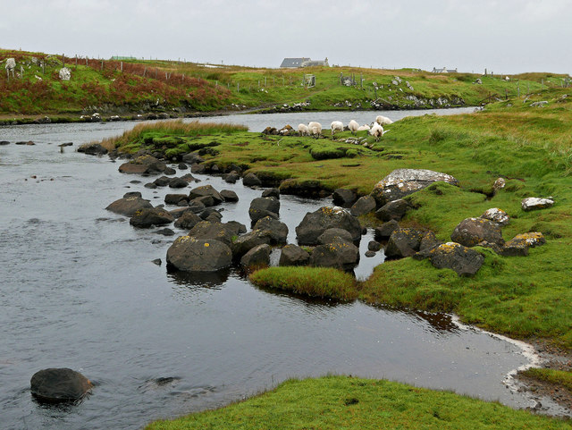
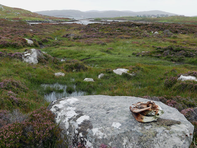
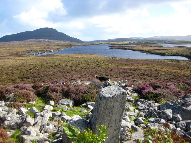
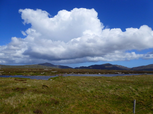
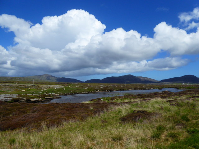
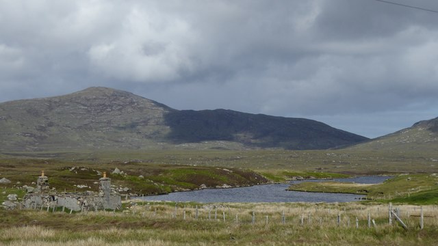
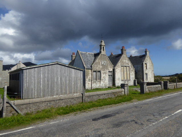
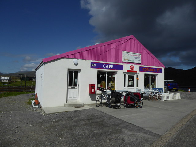
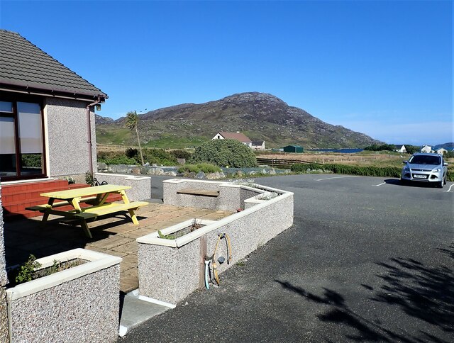
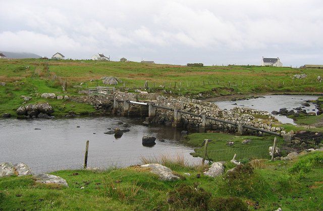
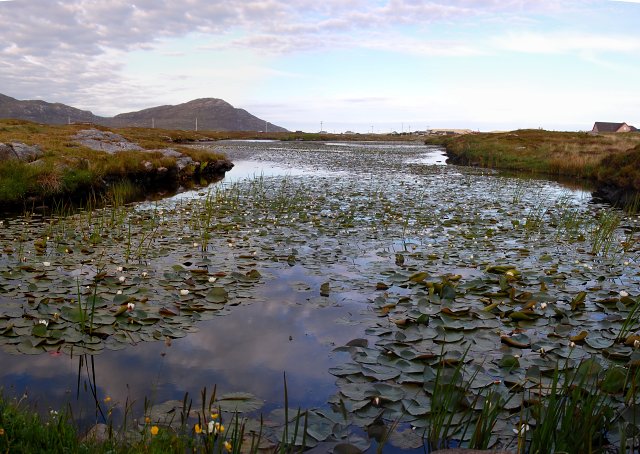
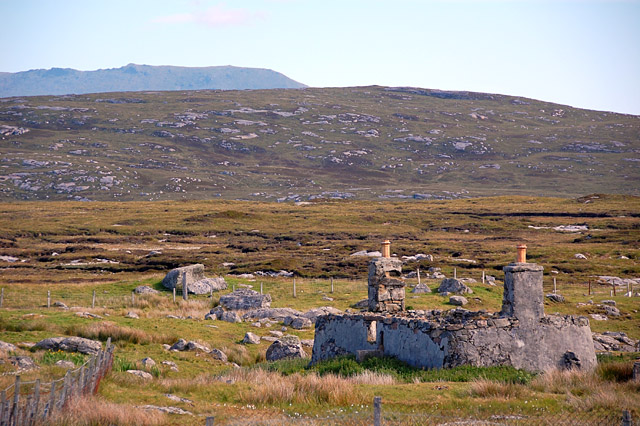
Rubha Dubh Images

Images are sourced within 2km of 57.166161/-7.3329402 or Grid Reference NF7720. Thanks to Geograph Open Source API. All images are credited.

Permit fishing only By the footbridge at Oratobht.  The distant hills are Triuirebheinn (left) and Beinn Ruigh Choinnich (right).  There is a ford here also.
Permit fishing only
By the footbridge at Oratobht. The distant hills are Triuirebheinn (left) and Beinn Ruigh Choinnich (right). There is a ford here also.
Footbridge at Clachan Mora There is a ford here too for vehicles. The access for vehicles from Lochboisdale is the brown terrace to the west of the far side of the bridge.
Footbridge at Clachan Mora
There is a ford here too for vehicles. The access for vehicles from Lochboisdale is the brown terrace to the west of the far side of the bridge.
Downstream from Loch a Bharp Looking upstream from by the footbridge at Oratobht.
Downstream from Loch a Bharp
Looking upstream from by the footbridge at Oratobht.
Moorland by Lochboisdale Beside the path to Loch nan Smalag, a cattle skull adds an unexpected element to the treeless heather-dominated landscape.
Moorland by Lochboisdale
Beside the path to Loch nan Smalag, a cattle skull adds an unexpected element to the treeless heather-dominated landscape.
Loch Bharp Looking down on L. Bharp from the large chambered cairn that overlooks it.
Loch Bharp
Looking down on L. Bharp from the large chambered cairn that overlooks it.
Loch nan Geadh
Loch nan Geadh
Loch nan Geadh
Loch nan Geadh
Ruin by Loch a' Bharp
Old school at Lochboisdale
Post Office and Cafe, Lochboisdale
Royal Mail road transport workshop, Lochboisdale
Brae Lea house B&B The parking area at Brae Lea with a view over to the hill in the distance. We stayed at this B&B for two nights whilst on South Uist, great place to stay, observe wildlife  and explore the area.
Brae Lea house B&B
The parking area at Brae Lea with a view over to the hill in the distance. We stayed at this B&B for two nights whilst on South Uist, great place to stay, observe wildlife and explore the area.
Bridge, Oratobht Bridge at the end of the tidal part of Loch Baghasdail/Loch Boisdale. The pipeline carries the village water supply from Loch na Smalag.
Bridge, Oratobht
Bridge at the end of the tidal part of Loch Baghasdail/Loch Boisdale. The pipeline carries the village water supply from Loch na Smalag.
Old school at Lochboisdale This former school is now empty and boarded up. What a pity that so many lovely buildings are allowed to crumble.
Old school at Lochboisdale
This former school is now empty and boarded up. What a pity that so many lovely buildings are allowed to crumble.
Water Lilies in Loch nan Geadh This narrow loch runs parallel to the Lochboisdale to Daliburgh road for a kilometre. It seems the less open the loch the more likely it is to be colonised by lilies.
Water Lilies in Loch nan Geadh
This narrow loch runs parallel to the Lochboisdale to Daliburgh road for a kilometre. It seems the less open the loch the more likely it is to be colonised by lilies.
South Uist ruin, near Lochboisdale road A common sight in Uist, a house with no roof. The chimney breasts are still in good condition. A similar house nearby has had its roof replaced by corrugated iron, and is used as a hay store. The ridge of Beinn Mhor is in the background.
South Uist ruin, near Lochboisdale road
A common sight in Uist, a house with no roof. The chimney breasts are still in good condition. A similar house nearby has had its roof replaced by corrugated iron, and is used as a hay store. The ridge of Beinn Mhor is in the background.
South west ridge of Beinn-ri-Oitir The map indicates a craggy sort of hill top, but it turns out to have a lot of flat slabs.
South west ridge of Beinn-ri-Oitir
The map indicates a craggy sort of hill top, but it turns out to have a lot of flat slabs.
Lochan Beinne-ri-Oitir Looking down the slopes of the Beinne-ri-Oitir to the eponymous lochan.
Lochan Beinne-ri-Oitir
Looking down the slopes of the Beinne-ri-Oitir to the eponymous lochan.
Show me another place!

Rubha Dubh is located at Grid Ref: NF7720 (Lat: 57.166161, Lng: -7.3329402)

Unitary Authority: Na h-Eileanan an Iar

Police Authority: Highlands and Islands

What 3 Words

///dinner.norms.solved. Near Lochboisdale, Na h-Eileanan Siar

Related Wikis

Auratote

Auratote (Scottish Gaelic: Oratobht) is a location on South Uist in the Outer Hebrides, Scotland. Auratote is within the parish of South Uist. == References... ==

Papar

The Papar (Icelandic pronunciation: [ˈpʰaːpar̥]; from Latin papa, via Old Irish, meaning "father" or "pope") were, according to early Icelandic sagas,...

Lochboisdale

Lochboisdale (Scottish Gaelic: Loch Baghasdail [ɫ̪ɔx ˈbɤːs̪t̪ɪl]) is the main village and port on the island of South Uist, Outer Hebrides, Scotland. Lochboisdale...

Daliburgh

Daliburgh (Scottish Gaelic: Dalabrog) is a crofting township on South Uist, in the Outer Hebrides, Scotland. Daliburgh is situated 1+1⁄2 miles (2.5 kilometres...

Nearby Amenities

Located within 500m of 57.166161,-7.3329402
The data included in this document is from www.openstreetmap.org. The data is made available under ODbL.

Have you been to Rubha Dubh?

Leave your review of Rubha Dubh below (or comments, questions and feedback).