Àird Mhithinis

Coastal Feature, Headland, Point in Inverness-shire

Scotland

Àird Mhithinis

Loch Ob The north shore, near Bogach.
Loch Ob Credit: M J Richardson

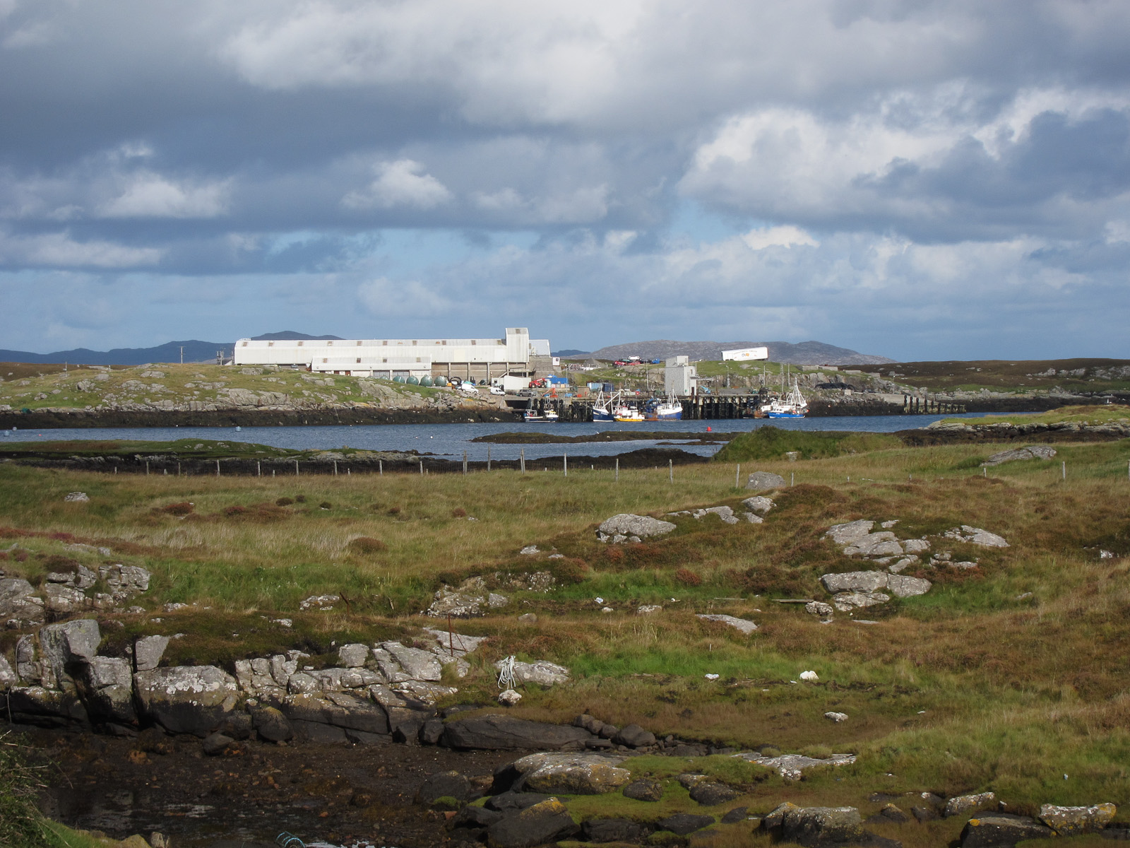
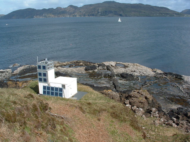
Àird Mhithinis is a prominent coastal feature located in Inverness-shire, Scotland. It is a headland that juts out into the Atlantic Ocean, forming a point along the coastline. The name "Àird Mhithinis" is derived from the Gaelic language, with "Àird" meaning "headland" and "Mhithinis" being a specific place name.

This headland offers breathtaking views of the surrounding landscape, with dramatic cliffs plunging into the sea below. The rugged terrain and exposed nature of Àird Mhithinis make it a popular destination for outdoor enthusiasts and nature lovers. The area is known for its diverse wildlife, including seabirds such as gannets, puffins, and razorbills.

Àird Mhithinis is also of historical significance, with archaeological remains dating back to ancient times. The headland has witnessed human activity for centuries, and artifacts found in the area provide insights into the lives and cultures of those who once inhabited the region.

Access to Àird Mhithinis is relatively easy, with well-marked trails leading to the headland. Visitors can enjoy leisurely walks along the coastline, taking in the stunning views and immersing themselves in the natural beauty of the area. It is important to note that caution should be exercised when exploring the headland, as the cliffs can be steep and unstable in some areas.

Overall, Àird Mhithinis is a captivating coastal feature in Inverness-shire, offering a unique blend of natural beauty, wildlife, and historical significance. It is a must-visit destination for those seeking to experience the rugged charm of Scotland's coastline.

If you have any feedback on the listing, please let us know in the comments section below.

Àird Mhithinis Images

Images are sourced within 2km of 57.006383/-7.4223115 or Grid Reference NF7003. Thanks to Geograph Open Source API. All images are credited.

Loch Ob The north shore, near Bogach.
Loch Ob
The north shore, near Bogach.
Northbay House at Bogach At the head of Loch Ob.
Northbay House at Bogach
At the head of Loch Ob.
Heathbank Hotel At Bogach, near Northbay.
Heathbank Hotel
At Bogach, near Northbay.
House at Bruairnis/Bruarnish Boarded-up, but looking reasonably sound.
House at Bruairnis/Bruarnish
Boarded-up, but looking reasonably sound.
Electricity supply pole at Bruernish Supporting transformer and cables.
Electricity supply pole at Bruernish
Supporting transformer and cables.
Inlet of Bàgh Thiarabhagh With a rather fragile-looking jetty.
Inlet of Bàgh Thiarabhagh
With a rather fragile-looking jetty.
Looking out to Bàgh Thiarabhagh From the road at Heathbank Hotel, Thiarabhagh.
Looking out to Bàgh Thiarabhagh
From the road at Heathbank Hotel, Thiarabhagh.
Moored at Àird Mhòr The 'SY' boat registration is for Stornoway.
Moored at Àird Mhòr
The 'SY' boat registration is for Stornoway.
Rocky foreshore at Àird Mhòr
The Barra to Eriskay ferry Standing just offshore between services.
The Barra to Eriskay ferry
Standing just offshore between services.
Departing from Barra On the Àird Mhòr to Eriskay ferry
Departing from Barra
On the Àird Mhòr to Eriskay ferry
Port Hand Channel Marker This marker emits a flashing red light every four seconds at night.  It marks a rocky area north-west of Lingeigh Fhada.
Port Hand Channel Marker
This marker emits a flashing red light every four seconds at night. It marks a rocky area north-west of Lingeigh Fhada.
Approaching Ardmhor View from the Eriskay ferry towards the harbour and ramp as the ferry approaches Ardmhor on Barra.
Approaching Ardmhor
View from the Eriskay ferry towards the harbour and ramp as the ferry approaches Ardmhor on Barra.
Whitehouse at Aird Mhidhinis The 'whitehouse' replaced the old drystone built and thatched 'blackhouse' in the Highlands and Islands.
Whitehouse at Aird Mhidhinis
The 'whitehouse' replaced the old drystone built and thatched 'blackhouse' in the Highlands and Islands.
Northbay road junction
Rivet on rock near Tràigh Mhòr, Barra Ordnance Survey benchmark on living rock near Barra's airport, described on database at <span class="nowrap"><a title="http://www.bench-marks.org.uk/bm76311" rel="nofollow ugc noopener" href="http://www.bench-marks.org.uk/bm76311">Link</a><img style="margin-left:2px;" alt="External link" title="External link - shift click to open in new window" src="https://s1.geograph.org.uk/img/external.png" width="10" height="10"/></span>.  Most of the benchmarks on the island are rivet types and have been placed in roadside living rocks. Not all of them are still extant. See also <a href="https://www.geograph.org.uk/photo/4996180">NF7004 : Rock showing rivet benchmark near Tràigh Mhòr, Barra</a>.
Rivet on rock near Tràigh Mhòr, Barra
Ordnance Survey benchmark on living rock near Barra's airport, described on database at LinkExternal link. Most of the benchmarks on the island are rivet types and have been placed in roadside living rocks. Not all of them are still extant. See also NF7004 : Rock showing rivet benchmark near Tràigh Mhòr, Barra.
Rock showing rivet benchmark near Tràigh Mhòr, Barra Ordnance Survey benchmark near the beach which serves as Barra's airport. See also <a href="https://www.geograph.org.uk/photo/4996176">NF7004 : Rivet on rock near Tràigh Mhòr, Barra</a>.
Rock showing rivet benchmark near Tràigh Mhòr, Barra
Ordnance Survey benchmark near the beach which serves as Barra's airport. See also NF7004 : Rivet on rock near Tràigh Mhòr, Barra.
Cut benchmark on St Barr Church, Northbay, Barra Ordnance Survey benchmark, described on database at <span class="nowrap"><a title="http://www.bench-marks.org.uk/bm76309" rel="nofollow ugc noopener" href="http://www.bench-marks.org.uk/bm76309">Link</a><img style="margin-left:2px;" alt="External link" title="External link - shift click to open in new window" src="https://s1.geograph.org.uk/img/external.png" width="10" height="10"/></span>. The only cut mark on the island.
Cut benchmark on St Barr Church, Northbay, Barra
Ordnance Survey benchmark, described on database at LinkExternal link. The only cut mark on the island.
Show me another place!

Àird Mhithinis is located at Grid Ref: NF7003 (Lat: 57.006383, Lng: -7.4223115)

Unitary Authority: Na h-Eileanan an Iar

Police Authority: Highlands and Islands

What 3 Words

///baffle.corrosive.grant. Near CastleBay, Na h-Eileanan Siar

Related Wikis

Ardveenish

Ardveenish (Scottish Gaelic: Àird Mhèanais) is a village on Barra in the Western Isles, Scotland. Ardveenish is also within the parish of Barra. ��2�...

Northbay

Northbay (Scottish Gaelic: Am Bàgh a Tuath) is a township and community in the north of Barra in the Outer Hebrides, off the west coast of Scotland. Northbay...

Bogach

Bogach (Scottish Gaelic: A' Bhogach) is a village on the island of Barra in the Outer Hebrides, Scotland. Bogach is also within the parish of Barra, and...

Ardmore, Barra

Ardmhor (Scottish Gaelic: Aird Mhòr) is a small village in the north east of the Isle of Barra in the Outer Hebrides, Scotland. In 2002 a small ferry port...

Traigh Mhòr

The Tràigh Mhòr, in English 'Big Beach', is a large expanse of sand forming a magnificent white beach at the northern end of the island of Barra in the...
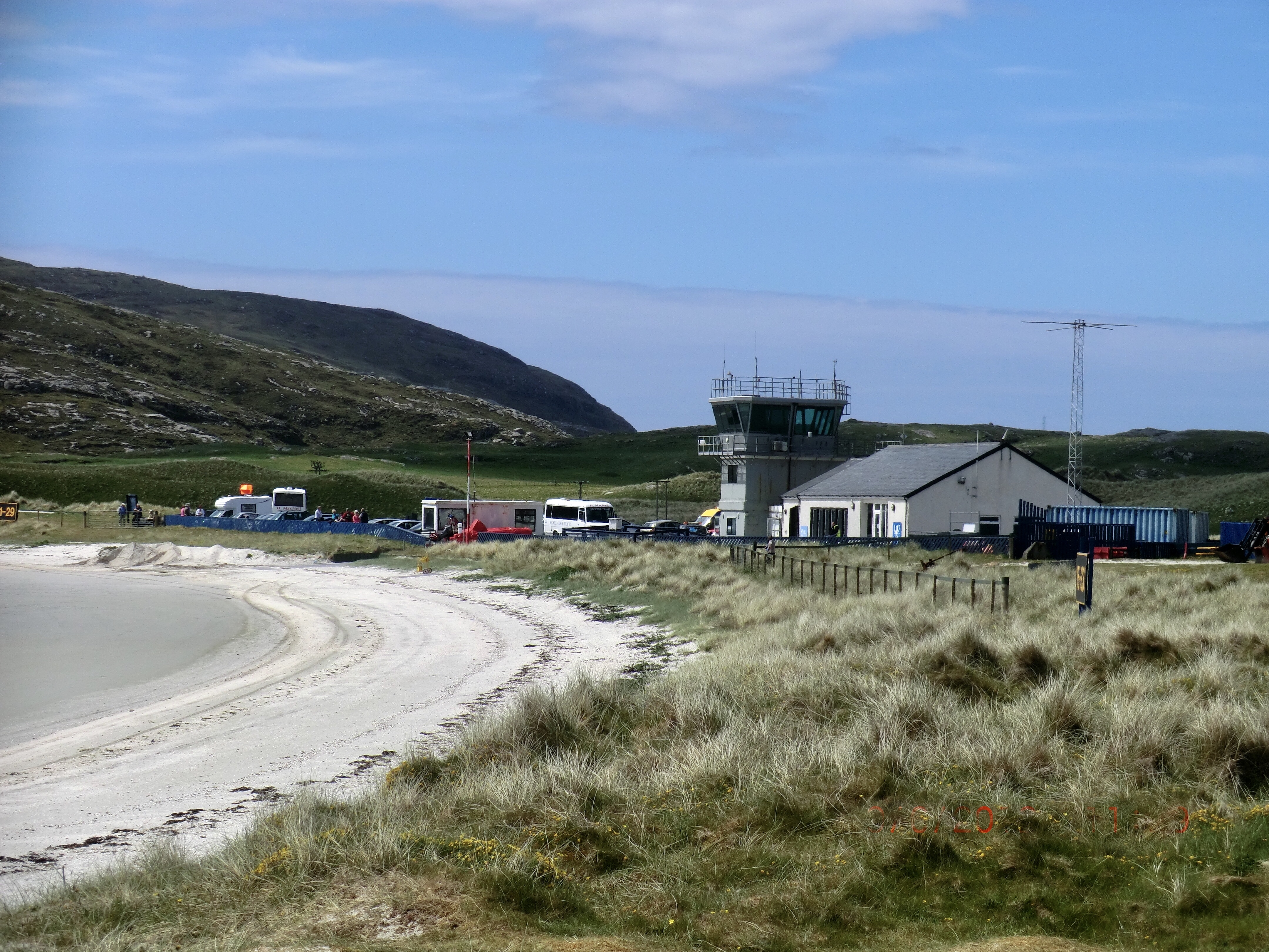
Barra Airport

Barra Airport (Scottish Gaelic: Port-adhair Bharraigh) (IATA: BRR, ICAO: EGPR) (also known as Barra Eoligarry Airport) is a short-runway airport (or STOLport...
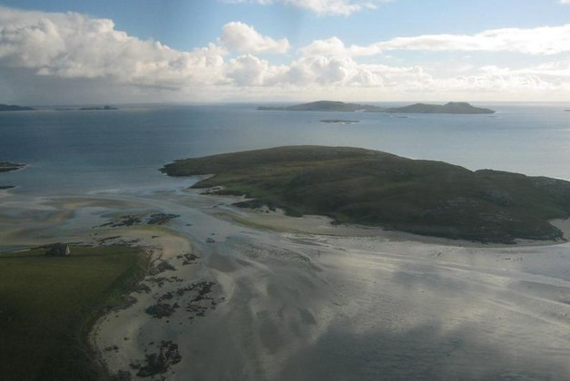
Orosay

Orosay (Scottish Gaelic: Orasaigh) is a small uninhabited tidal island in the Sound of Barra lying at the north end of Traigh Mhòr, the "big beach" on...

Fuiay

Fuiay (Scottish Gaelic: Fùidheigh) is an island in Scotland. It is one of ten islands in the Sound of Barra, a Site of Community Importance for conservation...

Nearby Amenities

Located within 500m of 57.006383,-7.4223115
Passing Place
Source: Bing
Lat/Long: 57.0082519/-7.4296334
Barrier: cattle_grid
Lat/Long: 57.0034269/-7.4162467
Passing Place
Lat/Long: 57.0050482/-7.420156
Passing Place
Lat/Long: 57.0071926/-7.4259335
Passing Place
Source: Bing
Lat/Long: 57.0089435/-7.4289223
Passing Place
Source: Bing
Lat/Long: 57.0085319/-7.4161714
Passing Place
Source: Bing
Lat/Long: 57.009206/-7.4211984
Post Box
Note: RM list suggests different number
Operator: Royal Mail
Ref: HS9 16
Lat/Long: 57.0071738/-7.4286837
Àird Mhòr
Name En: Ardmore
Name Gd: Àird Mhòr
Place: village
Wikidata: Q4788186
Wikipedia: en:Ardmore, Barra
Lat/Long: 57.0097987/-7.4230671
Power: pole
Lat/Long: 57.0104478/-7.4237551
Power: pole
Lat/Long: 57.0100667/-7.423165
Power: pole
Lat/Long: 57.0096095/-7.4224636
Power: pole
Lat/Long: 57.0094241/-7.4216858
Power: pole
Lat/Long: 57.0092357/-7.420857
Power: pole
Lat/Long: 57.0091473/-7.4195869
Power: pole
Lat/Long: 57.0091115/-7.4190344
Power: pole
Lat/Long: 57.0042255/-7.4256519
Power: pole
Lat/Long: 57.0045506/-7.4245275
Power: pole
Lat/Long: 57.0048723/-7.423345
Power: pole
Lat/Long: 57.004643/-7.4226051
Power: pole
Lat/Long: 57.0043719/-7.4217503
Power: pole
Lat/Long: 57.003943/-7.4203719
Power: pole
Lat/Long: 57.0036817/-7.4186817
Power: pole
Lat/Long: 57.0035831/-7.4178864
Power: pole
Lat/Long: 57.0034159/-7.4165792
Tòrr Gormlaig
Place: locality
Lat/Long: 57.0032847/-7.422155
Power: pole
Lat/Long: 57.0087937/-7.4178549
Power: pole
Lat/Long: 57.0039642/-7.4177683
Power: pole
Lat/Long: 57.0043034/-7.4176416
Power: pole
Lat/Long: 57.0047829/-7.4176965
Power: pole
Lat/Long: 57.0052245/-7.4177387
Power: pole
Lat/Long: 57.0033586/-7.4191133
Power: pole
Lat/Long: 57.0035159/-7.4188956
Power: pole
Lat/Long: 57.0038354/-7.4200439
Power: pole
Lat/Long: 57.003775/-7.4237514
Power: pole
Lat/Long: 57.0038215/-7.4242846
Power: pole
Lat/Long: 57.0040237/-7.4249825
Power: pole
Lat/Long: 57.0040604/-7.4264809
Power: pole
Lat/Long: 57.003791/-7.4268552
Power: pole
Lat/Long: 57.0034842/-7.4272735
Power: pole
Lat/Long: 57.0035584/-7.4277167
Power: pole
Lat/Long: 57.0055505/-7.4239481
Power: pole
Lat/Long: 57.0061105/-7.424438
Power: pole
Lat/Long: 57.0066464/-7.4253016
Power: pole
Lat/Long: 57.0071144/-7.4260091
Power: pole
Lat/Long: 57.0077192/-7.4269466
Power: pole
Lat/Long: 57.0076376/-7.4279454
Power: pole
Lat/Long: 57.0075847/-7.4287373
Power: pole
Lat/Long: 57.0075122/-7.42962
Barrier: cattle_grid
Lat/Long: 57.0089289/-7.4206398
Barrier: cattle_grid
Lat/Long: 57.0071465/-7.4278852
Passing Place
Lat/Long: 57.0036917/-7.4158696
Passing Place
Lat/Long: 57.0039514/-7.4170604
Barrier: cattle_grid
Lat/Long: 57.0037231/-7.4279226
Passing Place
Lat/Long: 57.0071654/-7.4270835
Passing Place
Lat/Long: 57.0073311/-7.4242165
Passing Place
Lat/Long: 57.0066376/-7.4216674
Passing Place
Lat/Long: 57.0071792/-7.4233132
Bus Stop
Road End
Bus: yes
Public Transport: platform
Lat/Long: 57.0071155/-7.4290407
Bus Stop
Road End
Bus: yes
Public Transport: platform
Lat/Long: 57.0071578/-7.4289371
The data included in this document is from www.openstreetmap.org. The data is made available under ODbL.

Have you been to Àird Mhithinis?

Leave your review of Àird Mhithinis below (or comments, questions and feedback).