Cholwell Woods

Wood, Forest in Devon North Devon

England

Cholwell Woods

Anchored on the Taw The River Taw, taken from the Tarka Trail cycle path near Heanton Court.
Anchored on the Taw Credit: Ron Strutt

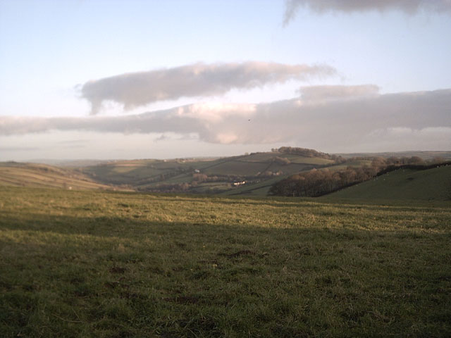
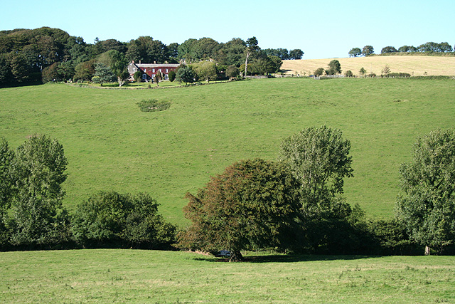
Cholwell Woods is a beautiful woodland located in Devon, England. Covering an area of approximately 200 acres, this ancient woodland is nestled within the Dartmoor National Park, offering a tranquil and picturesque escape for nature lovers and outdoor enthusiasts.

The woods are predominantly composed of oak and beech trees, creating a dense canopy that provides shade and shelter for a diverse range of flora and fauna. The forest floor is carpeted with an array of wildflowers, such as bluebells and primroses, adding bursts of color to the landscape throughout the year.

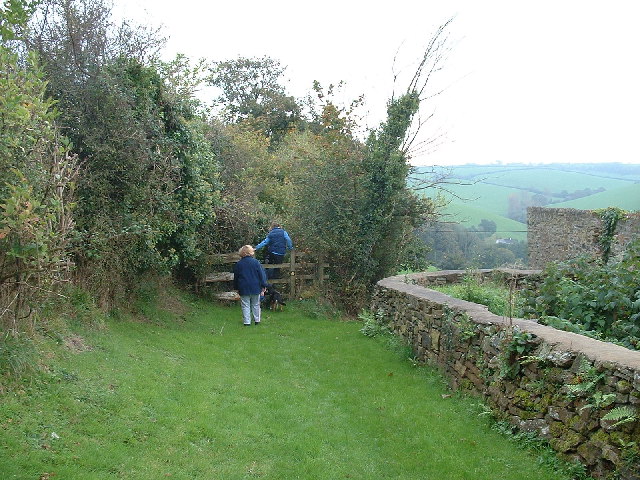
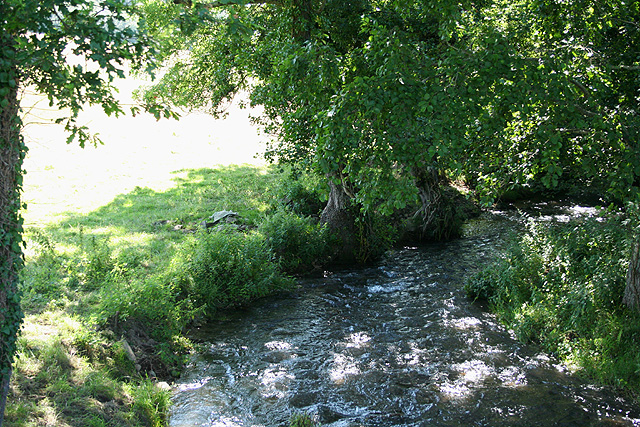
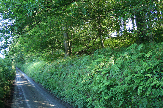
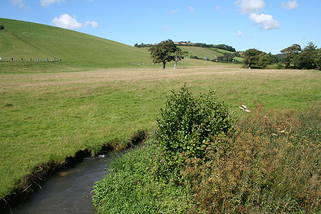
Cholwell Woods is crisscrossed by a network of well-maintained footpaths and trails, allowing visitors to explore its hidden corners and discover its natural wonders. The paths wind through the woods, passing by babbling brooks and small ponds, which are home to various aquatic creatures and provide a refreshing sight during the warmer months.

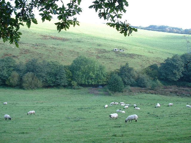
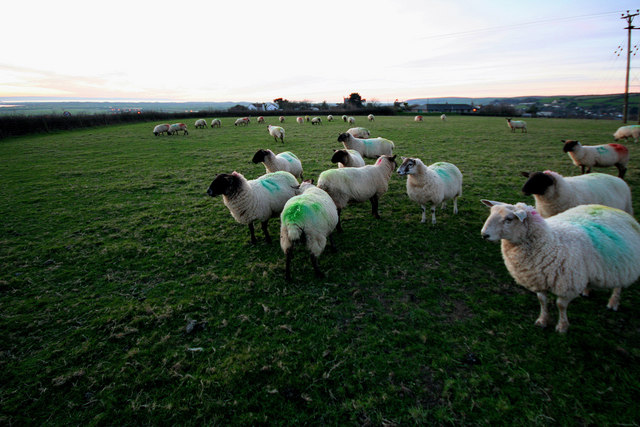
The woods are also home to a wide variety of wildlife, including deer, foxes, badgers, and numerous bird species. Birdwatchers can enjoy spotting woodpeckers, owls, and various songbirds throughout the year.

Cholwell Woods is a popular destination for outdoor activities such as hiking, jogging, and cycling. The peaceful atmosphere and stunning surroundings make it an ideal location for a leisurely stroll or a more energetic adventure.

Overall, Cholwell Woods offers a serene and enchanting woodland experience, with its ancient trees, diverse wildlife, and scenic trails making it a must-visit destination for nature enthusiasts and those seeking a peaceful retreat in the heart of Devon.

If you have any feedback on the listing, please let us know in the comments section below.

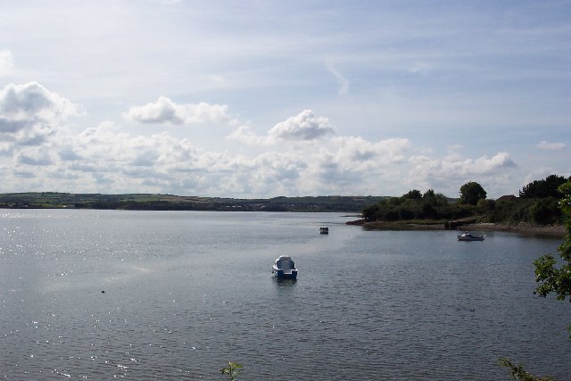
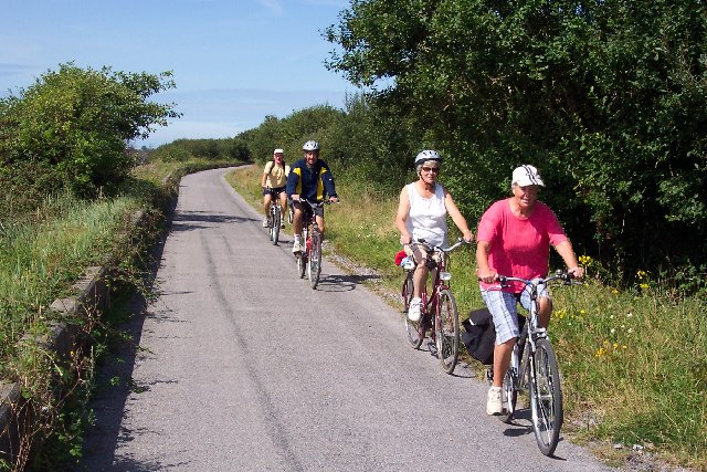
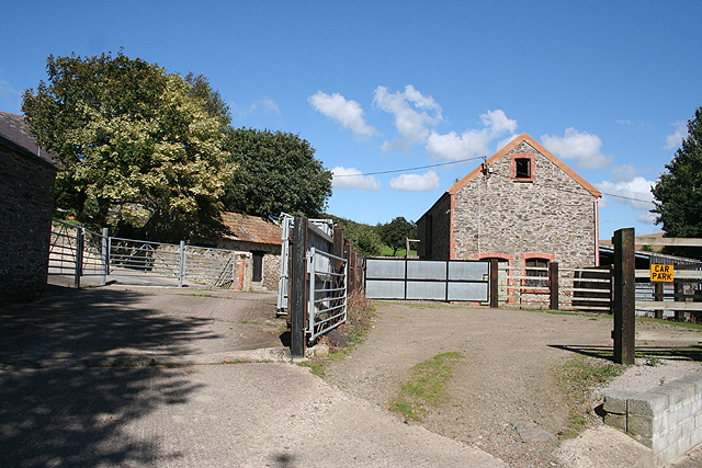
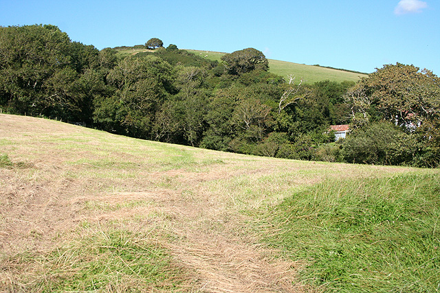
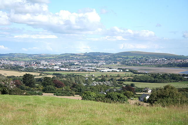
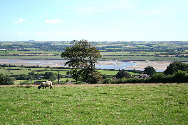
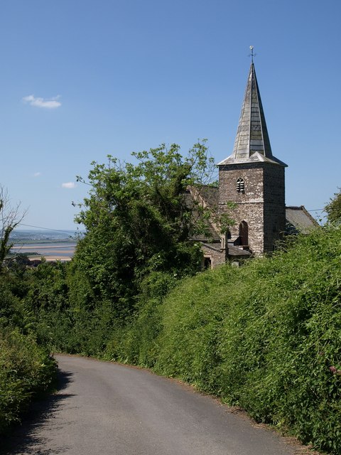
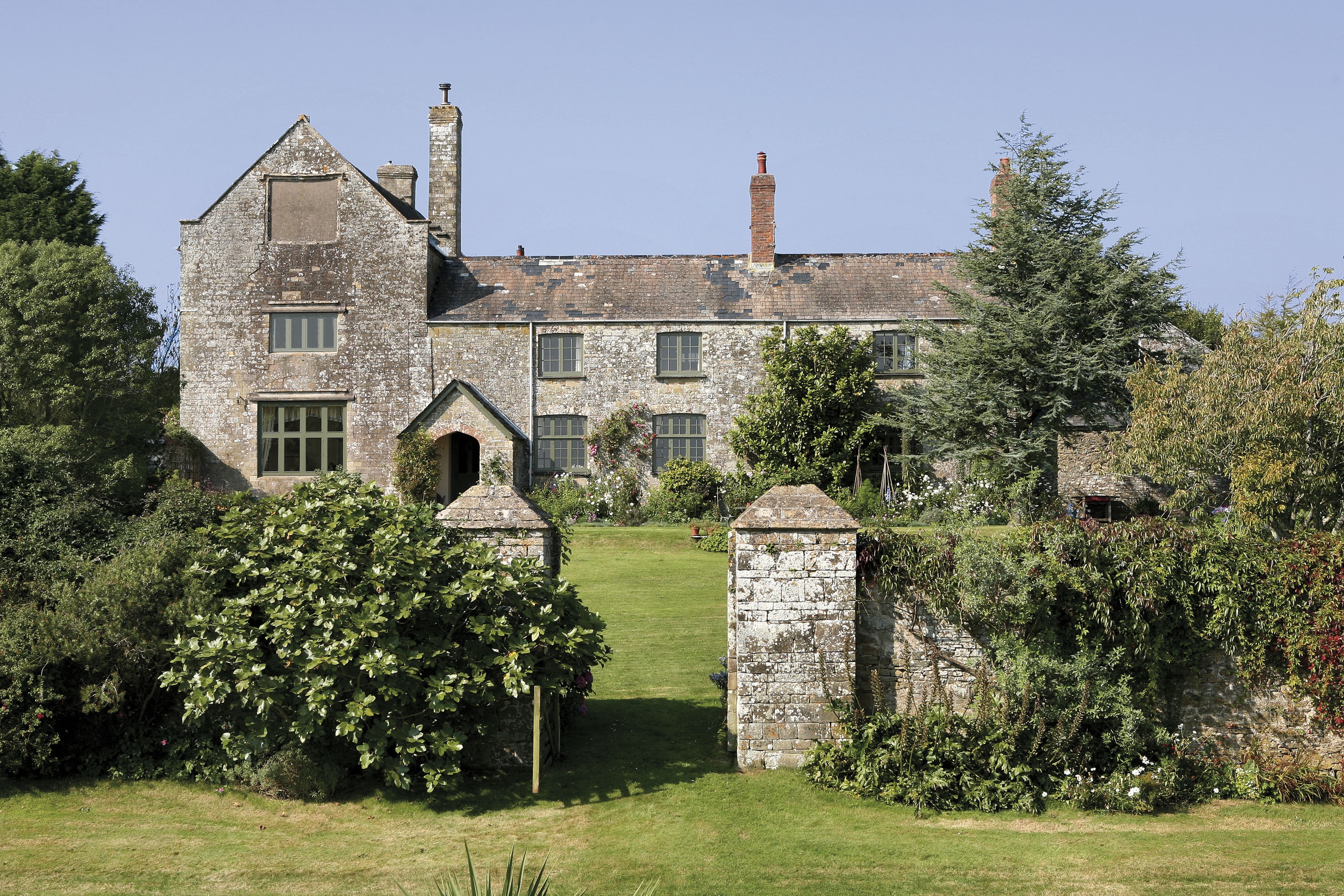
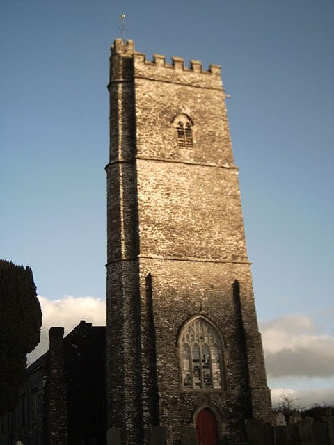
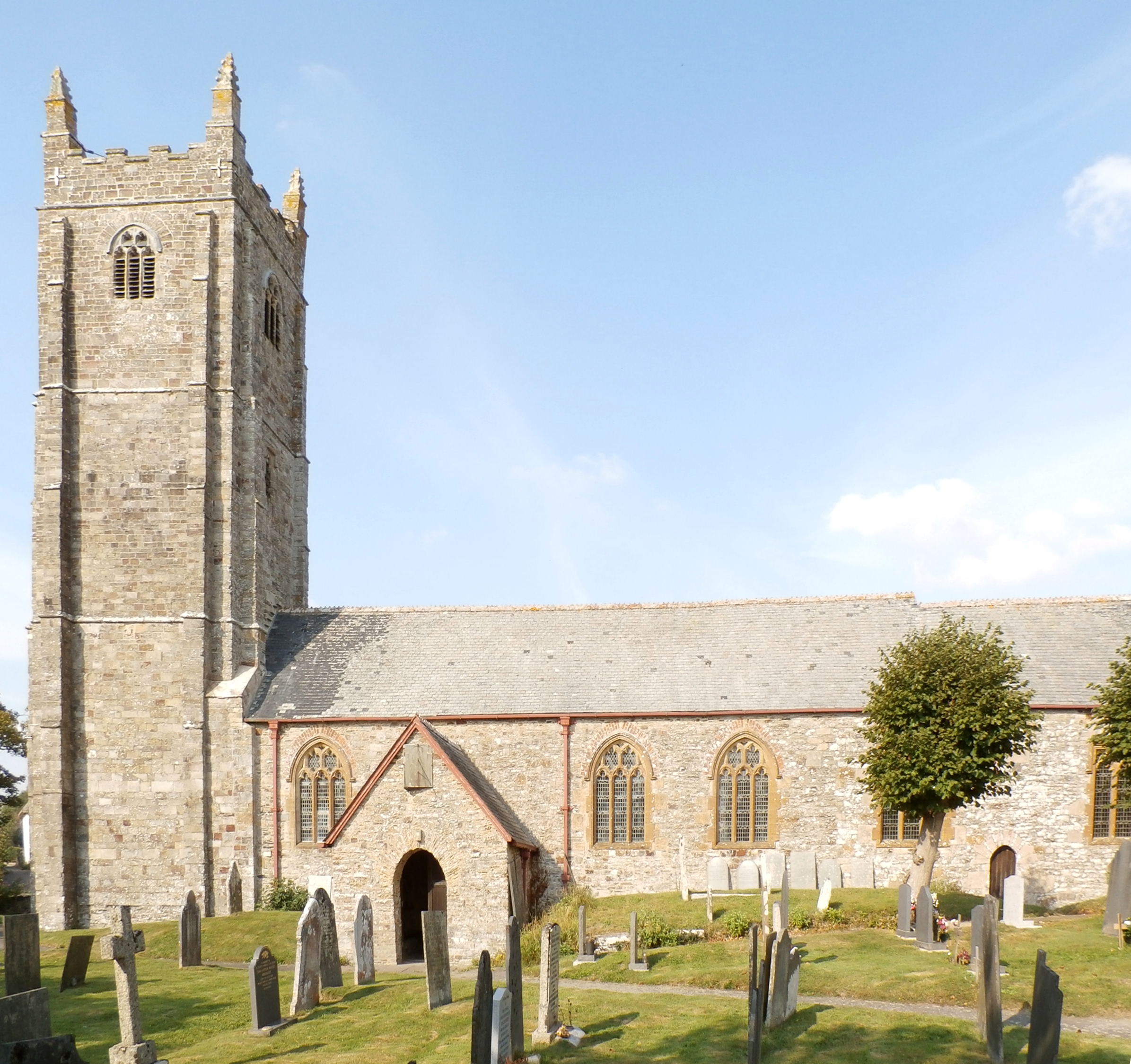
Cholwell Woods Images

Images are sourced within 2km of 51.103163/-4.1088129 or Grid Reference SS5235. Thanks to Geograph Open Source API. All images are credited.

Anchored on the Taw The River Taw, taken from the Tarka Trail cycle path near Heanton Court.
Anchored on the Taw
The River Taw, taken from the Tarka Trail cycle path near Heanton Court.
Tarka Trail cycle path near Barnstaple The Tarka Trail cycle path looking towards Barnstaple from near Strand House. The cycle path uses the course of the old Ilfracombe to Barnstaple railway, which here also forms the sea wall.
Tarka Trail cycle path near Barnstaple
The Tarka Trail cycle path looking towards Barnstaple from near Strand House. The cycle path uses the course of the old Ilfracombe to Barnstaple railway, which here also forms the sea wall.
Cyclists on the Tarka Trail This photograph is a bit of a cheat. I wanted a picture of a big group of cyclists but the lady in the front came along well ahead of her friends. So I took two pictures and assembled them together. Unfortunately my cut and paste missed part of the shadow of the front bike wheel!
Cyclists on the Tarka Trail
This photograph is a bit of a cheat. I wanted a picture of a big group of cyclists but the lady in the front came along well ahead of her friends. So I took two pictures and assembled them together. Unfortunately my cut and paste missed part of the shadow of the front bike wheel!
Path to Pippacot Wood
Pastoral Pastoral scene in North Devon.  View east from the lane by Pippacott Wood
Pastoral
Pastoral scene in North Devon. View east from the lane by Pippacott Wood
Farmland near Springfield Cross Looking towards Shirwell Cross.
Farmland near Springfield Cross
Looking towards Shirwell Cross.
Field with sheep, Heanton Punchardon This field also doubles as a certified caravan site location. It is situated on a ridge overlooking the Taw estuary, to the east of the village
Field with sheep, Heanton Punchardon
This field also doubles as a certified caravan site location. It is situated on a ridge overlooking the Taw estuary, to the east of the village
Misty morning on the River Taw Misty morning on the River Taw looking from the Tarka Trail.
Misty morning on the River Taw
Misty morning on the River Taw looking from the Tarka Trail.
Heanton Punchardon: towards the Taw estuary Looking south with Fremington Quay just visible on the far bank of the river – at SS515332
Heanton Punchardon: towards the Taw estuary
Looking south with Fremington Quay just visible on the far bank of the river – at SS515332
Heanton Punchardon: Knowl Water At Knowlwater Bridge, looking west, downstream. A lively tributary of the river Caen, itself a tributary of the Taw
Heanton Punchardon: Knowl Water
At Knowlwater Bridge, looking west, downstream. A lively tributary of the river Caen, itself a tributary of the Taw
Heanton Punchardon: Luscott Barton Outbuildings seen from the public footpath to Pippacott. Looking east
Heanton Punchardon: Luscott Barton
Outbuildings seen from the public footpath to Pippacott. Looking east
Heanton Punchardon: towards Ash Wood By the public footpath from Heanton Punchardon village to Ash Barton, seen from the old road between Pilton and Braunton, known as the Old Barnstaple Road. Looking north-north-east
Heanton Punchardon: towards Ash Wood
By the public footpath from Heanton Punchardon village to Ash Barton, seen from the old road between Pilton and Braunton, known as the Old Barnstaple Road. Looking north-north-east
Heanton Punchardon: near West Ashford Barton View across a field near West Ashford with Barnstaple in the distance. Looking south east
Heanton Punchardon: near West Ashford Barton
View across a field near West Ashford with Barnstaple in the distance. Looking south east
Ashford: above the village Looking south from Horridge towards the Taw estuary
Ashford: above the village
Looking south from Horridge towards the Taw estuary
Marwood: Lee House Seen from the lane from Pilton to Whitehall
Marwood: Lee House
Seen from the lane from Pilton to Whitehall
Marwood: lane south of Whitehall It leads to Springfield Cross. Looking south east
Marwood: lane south of Whitehall
It leads to Springfield Cross. Looking south east
Heanton Punchardon: Knowl Water valley Seen from Knowlwater Bridge on the Old Barnstaple Road
Heanton Punchardon: Knowl Water valley
Seen from Knowlwater Bridge on the Old Barnstaple Road
Ash Barton Farm High above Braunton to the West, at the end of a no through road you'll find Ash Barton Farm.
Ash Barton Farm
High above Braunton to the West, at the end of a no through road you'll find Ash Barton Farm.
Show me another place!

Cholwell Woods is located at Grid Ref: SS5235 (Lat: 51.103163, Lng: -4.1088129)

Administrative County: Devon

District: North Devon

Police Authority: Devon and Cornwall

Also known as: Challowell Woods

What 3 Words

///learns.dolly.volcano. Near Braunton, Devon

Related Wikis

Ashford, North Devon

Ashford is a village and civil parish in the North Devon district of Devon, England. According to the 2011 census it had a population of 267.This Ashford...

Ash, Braunton

Ash in the parish of Braunton in North Devon is a historic estate listed in the Domesday Book. The present mansion, known as The Ash Barton estate is a...

George Hakewill

George Hakewill (1578 or 1579 – 1649) was an English clergyman and author. == Early life == Born in Exeter, he studied at Alban Hall, University of Oxford...

Marwood, Devon

Marwood is a village in North Devon 3.5 miles (5.6 km) north of Barnstaple. The village contains 20 acres (81,000 m2) of ornamental gardens open to the...

Braunton Road rail accident

The Braunton Road railway accident occurred on 1 January 1910 in England. The Lynton & Barnstaple Railway maintained an exemplary safety record throughout...

Heanton Punchardon

Heanton Punchardon ( ) is a village, civil parish and former manor, anciently part of Braunton Hundred. It is situated directly east-southeast of the village...

Pilton West

Pilton West is a rural civil parish of North Devon, Devon, England, immediately north-west of the suburb of Pilton in the town of Barnstaple. The parish...

Fremington railway station

Fremington railway station served the village of Fremington, Devon, England, from 1855 to 1965 on the Bideford Extension Railway. Located at Fremington...

Nearby Amenities

Located within 500m of 51.103163,-4.1088129
Windy Cross
Place: locality
Lat/Long: 51.1006913/-4.1093581
Power: pole
Lat/Long: 51.1061896/-4.1132292
Power: pole
Lat/Long: 51.1055918/-4.1135725
Power: pole
Lat/Long: 51.1007514/-4.1044986
Power: pole
Lat/Long: 51.1007581/-4.1064298
Power: pole
Lat/Long: 51.1007951/-4.1084334
Power: pole
Lat/Long: 51.1007901/-4.1103217
Power: pole
Lat/Long: 51.1006907/-4.1126069
Power: pole
Lat/Long: 51.1006478/-4.1135631
Power: pole
Lat/Long: 51.1015093/-4.114109
Power: pole
Lat/Long: 51.1022588/-4.1145998
Power: pole
Lat/Long: 51.1028382/-4.1149405
Power: pole
Lat/Long: 51.1036836/-4.1157559
Power: pole
Lat/Long: 51.1045543/-4.1142458
Power: pole
Lat/Long: 51.1037864/-4.1150638
Power: pole
Lat/Long: 51.1030335/-4.1158712
The data included in this document is from www.openstreetmap.org. The data is made available under ODbL.

Have you been to Cholwell Woods?

Leave your review of Cholwell Woods below (or comments, questions and feedback).