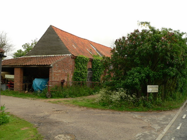
Carpenters Wood
Wood, Forest in Suffolk East Suffolk
England
Carpenters Wood
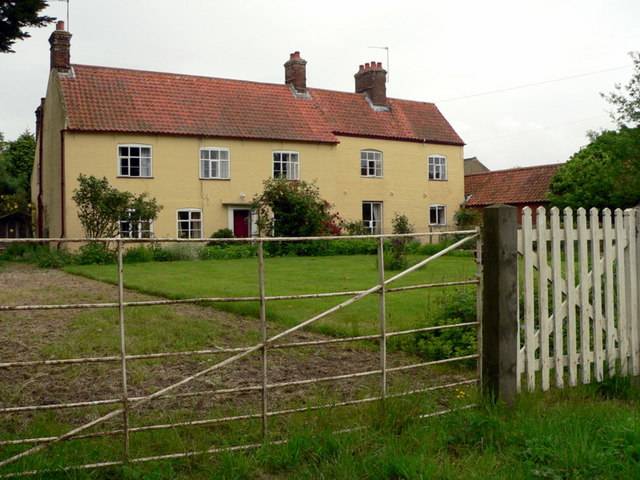
Carpenters Wood is a picturesque forest located in Suffolk, England. Covering an area of approximately 100 acres, this wood is known for its natural beauty and rich biodiversity. It is situated in a rural area, surrounded by rolling hills and fields, providing a peaceful and tranquil environment for visitors.
The wood is predominantly made up of deciduous trees such as oak, beech, and ash, creating a dense canopy that filters sunlight and creates a cool and shaded atmosphere within. The forest floor is adorned with a variety of wildflowers, adding vibrant colors to the landscape during the spring and summer months.
Carpenters Wood is a haven for wildlife enthusiasts, as it is home to a diverse range of animal species. Birdwatchers can spot a variety of species, including woodpeckers, owls, and various songbirds. The wood is also inhabited by small mammals like rabbits, squirrels, and foxes, making it a great spot for nature photography.
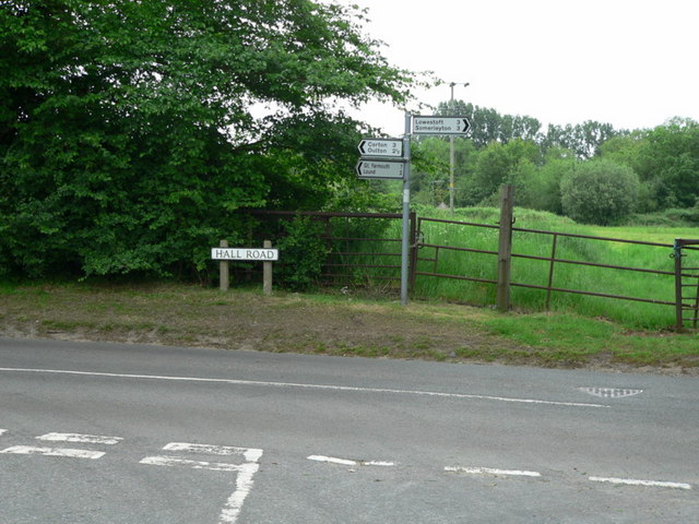
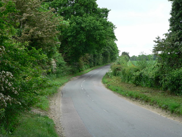
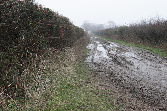
The forest offers a network of well-maintained walking trails, allowing visitors to explore and enjoy the natural wonders of the wood. These trails meander through the woodland, offering glimpses of beautiful vistas and scenic viewpoints. Picnic areas are also available, providing a perfect spot to relax and enjoy a meal amidst nature.
Carpenters Wood is well-managed and preserved, ensuring the conservation of its natural habitat and promoting sustainable practices. It attracts both locals and tourists alike, offering a peaceful retreat from the hustle and bustle of city life. Whether you are a nature lover, an avid hiker, or simply seeking tranquility, Carpenters Wood is a destination worth exploring.
If you have any feedback on the listing, please let us know in the comments section below.
Carpenters Wood Images
Images are sourced within 2km of 52.514496/1.6819981 or Grid Reference TM4997. Thanks to Geograph Open Source API. All images are credited.


Carpenters Wood is located at Grid Ref: TM4997 (Lat: 52.514496, Lng: 1.6819981)
Administrative County: Suffolk
District: East Suffolk
Police Authority: Suffolk
What 3 Words
///amaze.cube.structure. Near Hopton on Sea, Norfolk
Nearby Locations
Related Wikis
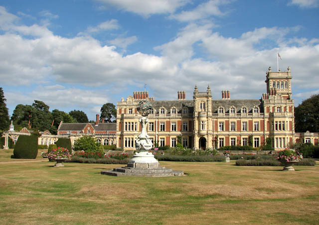
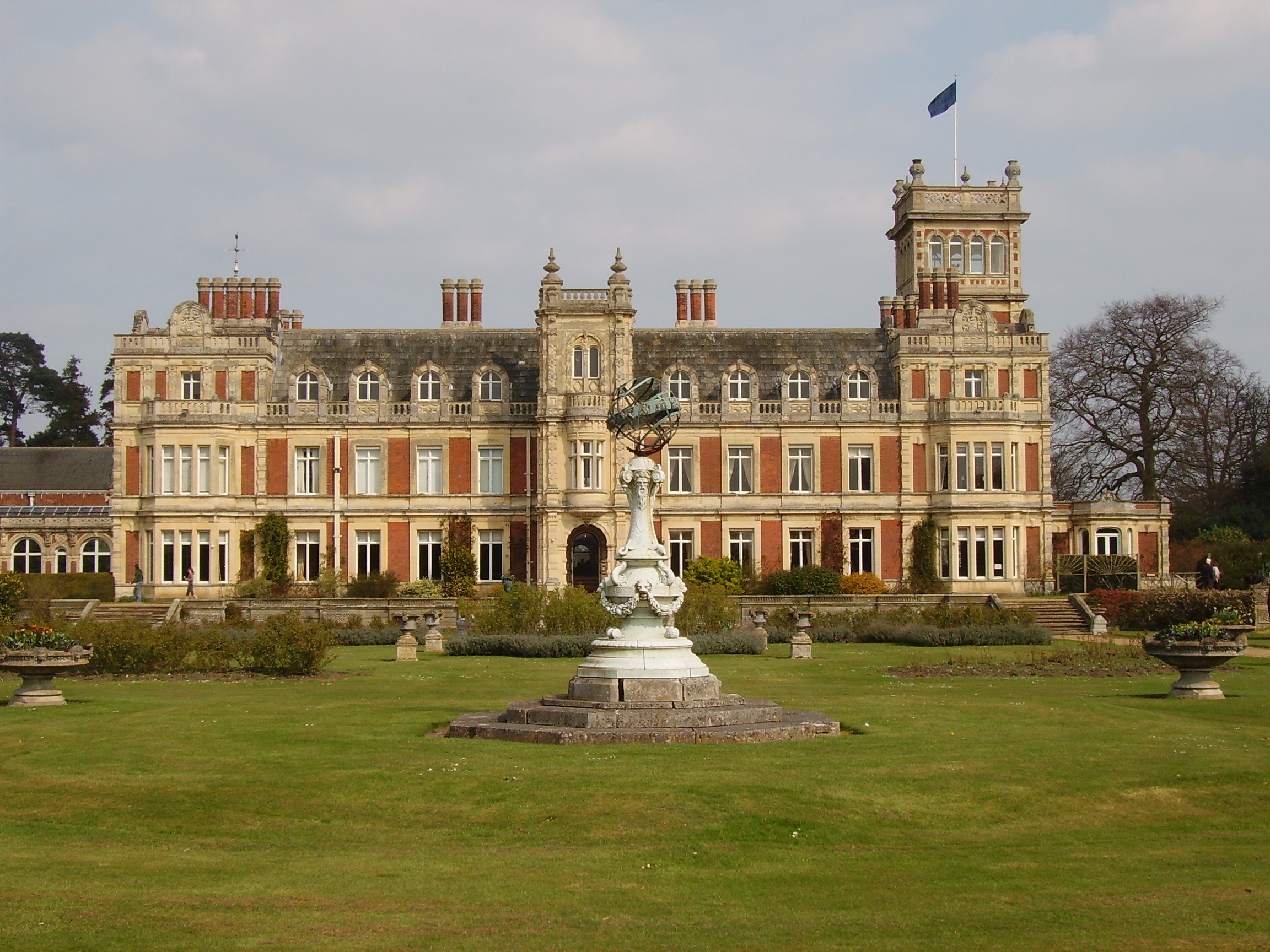
Somerleyton Hall
Somerleyton Hall is a country house and 5,000-acre (2,000 ha) estate near Somerleyton and Lowestoft in Suffolk, England owned and lived in by Hugh Crossley...

Lothingland
Lothingland is an area in the English counties of Suffolk and Norfolk on the North Sea coast. It is bound by the River Yare and Breydon Water to the north...
Somerleyton
Somerleyton is a village and former civil parish, now in the parish of Somerleyton, Ashby and Herringfleet, in the East Suffolk district, in the north...
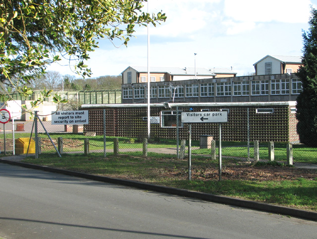
HM Prison Blundeston
HM Prison Blundeston was a Category C men's prison, located in the Village of Blundeston in Suffolk, England. The prison was operated by Her Majesty's...
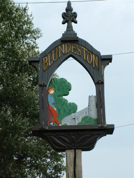
Blundeston
Blundeston is a village and civil parish in the north of the English county of Suffolk. It is 3.5 miles (5.6 km) north-west of Lowestoft, 6 miles (9.7...

Blundeston Windmill
Blundeston Mill is a tower mill at Blundeston, Suffolk, England which has been converted to residential accommodation. == History == Blundeston Mill was...

Somerleyton, Ashby and Herringfleet
Somerleyton, Ashby and Herringfleet is a civil parish in the north of the English county of Suffolk. It is 5 miles (8.0 km) north-west of Lowestoft and...

Lound, Suffolk
Lound is a village and civil parish in the north of the English county of Suffolk. It is 4.5 miles (7.2 km) north of Lowestoft, 5 miles (8.0 km) south...
Nearby Amenities
Located within 500m of 52.514496,1.6819981Have you been to Carpenters Wood?
Leave your review of Carpenters Wood below (or comments, questions and feedback).