Spring Covert
Wood, Forest in Suffolk East Suffolk
England
Spring Covert

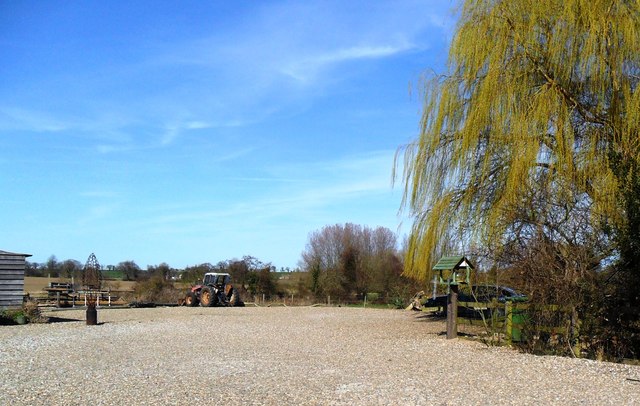
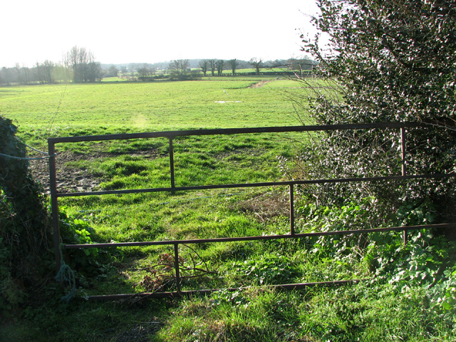
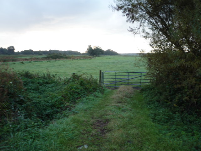
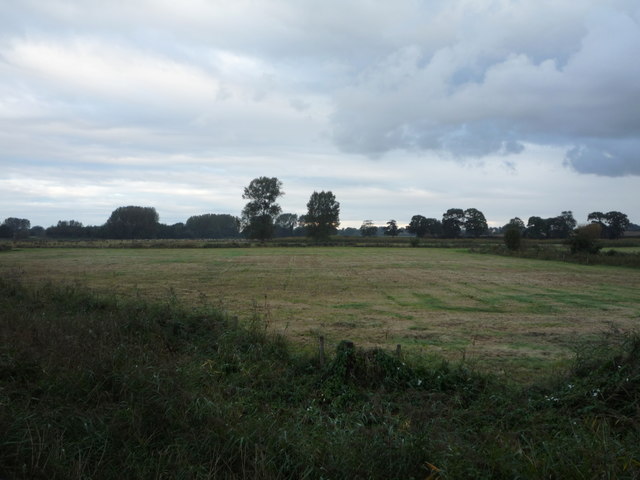
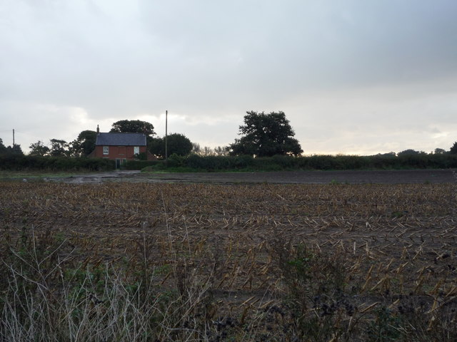
Spring Covert is a picturesque woodland located in Suffolk, England. Situated in the heart of the county, it covers an area of approximately 50 acres, offering a serene retreat for nature lovers and outdoor enthusiasts alike. The woodland is part of a larger forested region, boasting an enchanting mix of ancient trees, shrubs, and wildlife.
The name "Spring Covert" reflects the vibrant atmosphere that can be experienced throughout the woodland during the spring season. As the winter frost melts away, the forest bursts into life with a carpet of colorful flowers, including bluebells, primroses, and wild garlic. This natural spectacle attracts visitors from far and wide, who come to witness the stunning display of flora and fauna.
The woodland is home to a diverse range of wildlife, providing a sanctuary for various species. Visitors may spot deer gracefully roaming through the trees, or listen to the melodious songs of birds such as nightingales and woodpeckers. Spring Covert also offers a haven for smaller creatures like squirrels, badgers, and rabbits.
For those seeking outdoor activities, Spring Covert provides a network of walking trails that wind through the forest. These paths offer visitors the opportunity to immerse themselves in the tranquil surroundings, while absorbing the fresh scents of the woodland and taking in the breathtaking views.
Overall, Spring Covert in Suffolk is a captivating woodland destination that offers a captivating blend of natural beauty, diverse wildlife, and outdoor exploration. Whether it's for a leisurely walk, wildlife spotting, or simply to appreciate the wonders of nature, this woodland is a must-visit for nature enthusiasts of all ages.
If you have any feedback on the listing, please let us know in the comments section below.
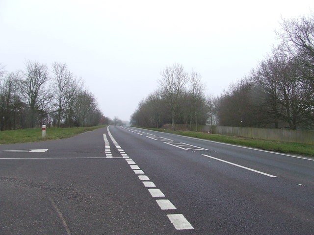
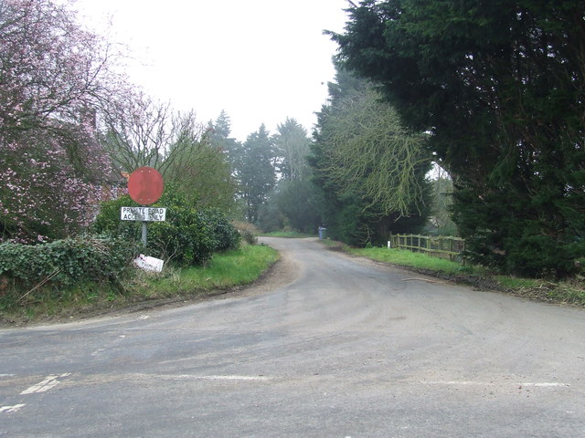
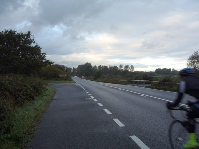
Spring Covert Images
Images are sourced within 2km of 52.405994/1.6724314 or Grid Reference TM4985. Thanks to Geograph Open Source API. All images are credited.


Spring Covert is located at Grid Ref: TM4985 (Lat: 52.405994, Lng: 1.6724314)
Administrative County: Suffolk
District: East Suffolk
Police Authority: Suffolk
What 3 Words
///markets.reckons.pressing. Near Kessingland, Suffolk
Nearby Locations
Related Wikis

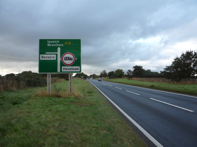
Henstead
Henstead is a village near Kessingland and the A12 in the civil parish of Henstead with Hulver Street, in the county of Suffolk, England. It has a church...
Benacre, Suffolk
Benacre is a village and civil parish in the East Suffolk district of the English county of Suffolk. The village is located about 5+3⁄4 miles (9 km) south...
Henstead with Hulver Street
Henstead with Hulver Street is a civil parish in the East Suffolk district of the English county of Suffolk. It is around 5 miles (8.0 km) south-west of...

Wrentham Hall
Wrentham Hall was a large now-demolished Manor House to the north-west of the village of Wrentham, Suffolk, England and which stood on what is now Blackmoor...
Nearby Amenities
Located within 500m of 52.405994,1.6724314Have you been to Spring Covert?
Leave your review of Spring Covert below (or comments, questions and feedback).