Alder Carr
Wood, Forest in Suffolk East Suffolk
England
Alder Carr
Alder Carr, Suffolk (Wood, Forest) is a picturesque and serene location nestled in the heart of Suffolk, England. Known for its lush greenery and meandering waterways, Alder Carr offers a peaceful retreat for nature lovers and outdoor enthusiasts alike.
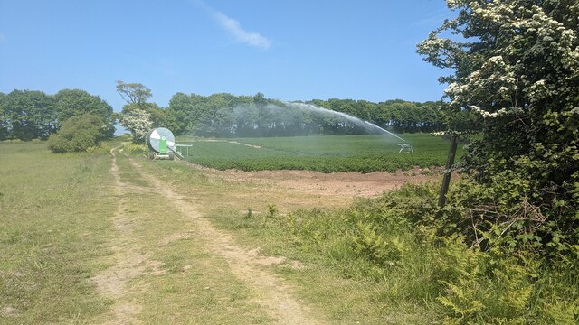
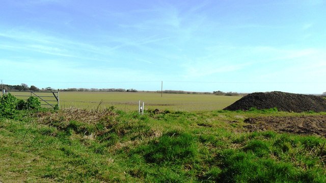
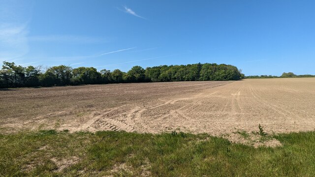
The area is dominated by dense woodlands, predominantly consisting of alder trees, from which it derives its name. These trees add to the beauty and tranquility of the landscape, providing shade and creating a habitat for a diverse range of flora and fauna.
Alder Carr is also renowned for its network of winding streams and brooks, which elegantly weave through the woodlands, creating a magical ambiance. These waterways not only add to the visual appeal but also support a thriving ecosystem, attracting a variety of water-dwelling creatures and providing a vital source of hydration for the local wildlife.
Walking trails and footpaths crisscross Alder Carr, offering visitors the opportunity to explore and immerse themselves in the natural wonders of the area. The trails lead through enchanting forests, alongside babbling brooks, and past idyllic meadows, providing breathtaking views at every turn.
The location is popular among birdwatchers, as it serves as a habitat for a wide range of bird species. Visitors may spot various birds of prey, including buzzards and kestrels, as well as smaller woodland birds such as woodpeckers and nuthatches.
In addition to its natural beauty, Alder Carr is home to a quaint café and a farm shop, where visitors can sample local produce and homemade treats. The friendly and welcoming atmosphere of the café makes it an ideal spot to relax and unwind after a day of exploring the woodlands.
Overall, Alder Carr, Suffolk (Wood, Forest) is a captivating and tranquil destination that offers a perfect escape from the hustle and bustle of everyday life.
If you have any feedback on the listing, please let us know in the comments section below.
Alder Carr Images
Images are sourced within 2km of 52.362272/1.6541081 or Grid Reference TM4880. Thanks to Geograph Open Source API. All images are credited.


Alder Carr is located at Grid Ref: TM4880 (Lat: 52.362272, Lng: 1.6541081)
Administrative County: Suffolk
District: East Suffolk
Police Authority: Suffolk
What 3 Words
///gong.voltage.attaching. Near Southwold, Suffolk
Nearby Locations
Related Wikis

South Cove, Suffolk
South Cove is a civil parish in the east of the English county of Suffolk. It is 3 miles (4.8 km) north of the coastal town of Southwold and 1 mile (1...

Frostenden
Frostenden is a village and civil parish in the East Suffolk district of the English county of Suffolk. It is around 8 miles (13 km) south-west of Lowestoft...

Reydon Wood
Reydon Wood is a 16 hectare nature reserve west of Wangford in Suffolk, England. It is managed by the Suffolk Wildlife Trust.This conifer wood has many...

Wangford
Wangford is a village and former civil parish, now in the parish of Wangford with Henham, in the East Suffolk district, in the county of Suffolk, England...
Wangford Priory
The Cluniac Priory of Wangford was a small religious house in Wangford in the English county of Suffolk. It was founded before 1159 as a dependency of...

Wrentham, Suffolk
Wrentham is a village and civil parish in the East Suffolk district, in the north-east of the English county of Suffolk. It is located about 2 miles (3...
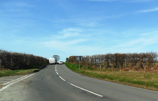
A1095 road
The A1095 road is an A road in the English county of Suffolk. It runs from Southwold on the North Sea coast to the A12 London to Lowestoft road at Henham...

Old Town Hall, Wrentham
The Old Town Hall is a former municipal building in the High Street in Wrentham, Suffolk, England. The building, which was the meeting place of Wrentham...
Nearby Amenities
Located within 500m of 52.362272,1.6541081Have you been to Alder Carr?
Leave your review of Alder Carr below (or comments, questions and feedback).