Frostenden Corner
Settlement in Suffolk East Suffolk
England
Frostenden Corner
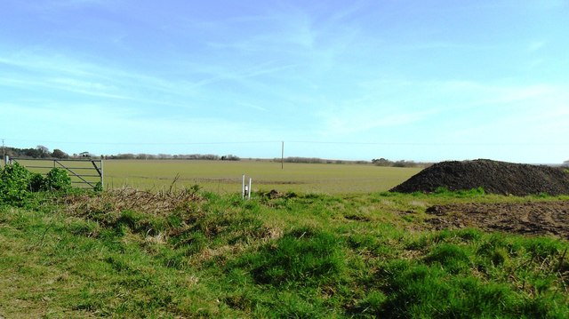
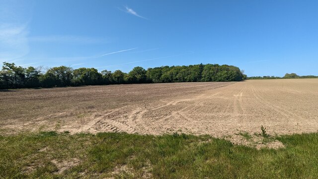
Frostenden Corner is a small and picturesque village located in the county of Suffolk, England. Situated on the eastern coast of the country, it is nestled in the heart of the Waveney Valley. The village is surrounded by lush green fields and rolling hills, offering breathtaking views of the English countryside.
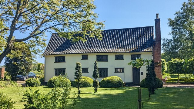
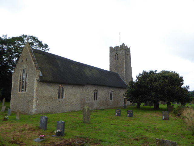
Despite its size, Frostenden Corner has a rich history dating back many centuries. It is believed to have been settled during the Roman era, and several archaeological findings in the area support this claim. Today, remnants of its past can be seen in the form of ancient buildings and landmarks, which add to the village's charm.
The village itself is home to a tight-knit community, with a population of around 300 residents. It boasts a range of amenities to cater to the needs of its inhabitants, including a village hall, a community center, and a local pub. The pub, known as The Frostenden Arms, serves as a hub for social gatherings and events, acting as a meeting place for locals and visitors alike.
Nature enthusiasts will find themselves drawn to Frostenden Corner, thanks to its proximity to the Suffolk Coast and Heaths Area of Outstanding Natural Beauty. This designation ensures that the surrounding landscapes are protected and preserved, offering opportunities for hiking, bird-watching, and other outdoor activities.
Overall, Frostenden Corner is a charming village that showcases the best of rural Suffolk. Its idyllic setting, rich history, and warm community spirit make it a hidden gem worth exploring for those seeking a tranquil retreat away from the bustle of city life.
If you have any feedback on the listing, please let us know in the comments section below.
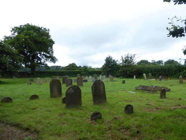
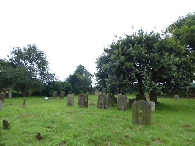
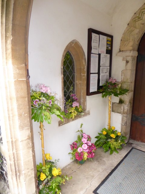
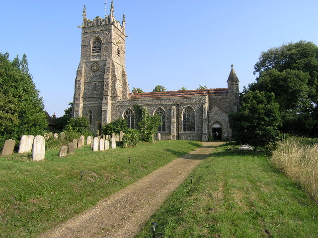
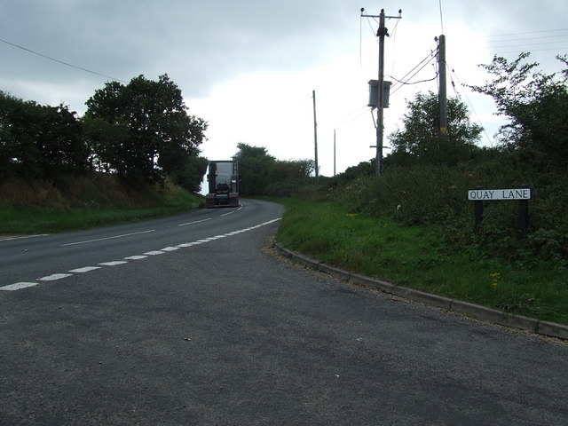
Frostenden Corner Images
Images are sourced within 2km of 52.365757/1.65155 or Grid Reference TM4880. Thanks to Geograph Open Source API. All images are credited.


Frostenden Corner is located at Grid Ref: TM4880 (Lat: 52.365757, Lng: 1.65155)
Administrative County: Suffolk
District: East Suffolk
Police Authority: Suffolk
What 3 Words
///records.shipped.sharpens. Near Southwold, Suffolk
Nearby Locations
Related Wikis

Frostenden
Frostenden is a village and civil parish in the East Suffolk district of the English county of Suffolk. It is around 8 miles (13 km) south-west of Lowestoft...

South Cove, Suffolk
South Cove is a civil parish in the east of the English county of Suffolk. It is 3 miles (4.8 km) north of the coastal town of Southwold and 1 mile (1...

Reydon Wood
Reydon Wood is a 16 hectare nature reserve west of Wangford in Suffolk, England. It is managed by the Suffolk Wildlife Trust.This conifer wood has many...

Wangford
Wangford is a village and former civil parish, now in the parish of Wangford with Henham, in the East Suffolk district, in the county of Suffolk, England...

Wrentham, Suffolk
Wrentham is a village and civil parish in the East Suffolk district, in the north-east of the English county of Suffolk. It is located about 2 miles (3...
Wangford Priory
The Cluniac Priory of Wangford was a small religious house in Wangford in the English county of Suffolk. It was founded before 1159 as a dependency of...

Old Town Hall, Wrentham
The Old Town Hall is a former municipal building in the High Street in Wrentham, Suffolk, England. The building, which was the meeting place of Wrentham...
A1095 road
The A1095 road is an A road in the English county of Suffolk. It runs from Southwold on the North Sea coast to the A12 London to Lowestoft road at Henham...
Nearby Amenities
Located within 500m of 52.365757,1.65155Have you been to Frostenden Corner?
Leave your review of Frostenden Corner below (or comments, questions and feedback).