Long Spring
Wood, Forest in Suffolk East Suffolk
England
Long Spring

Long Spring is a small village located in the county of Suffolk, in the eastern part of England. Situated amidst a dense woodland, it is often referred to as Long Spring Wood or Long Spring Forest due to its picturesque surroundings. The village is nestled in a tranquil and idyllic setting, making it an ideal destination for nature lovers and those seeking a peaceful retreat.
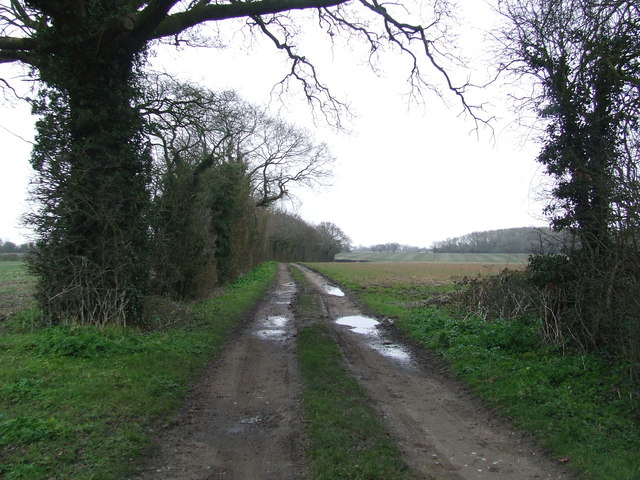
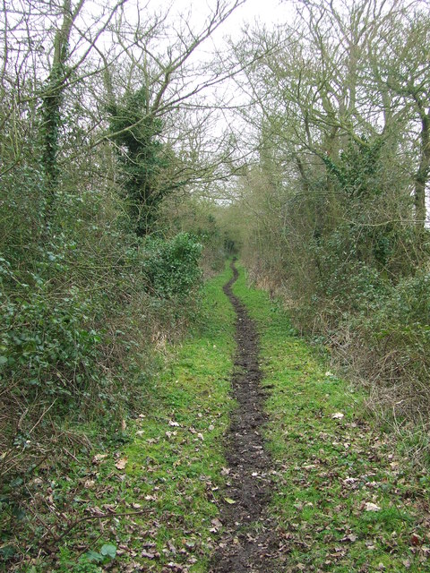
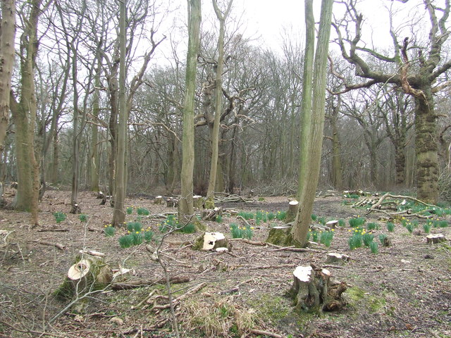
Long Spring is renowned for its rich biodiversity, with an abundance of flora and fauna. The forest is predominantly composed of deciduous trees such as oak, beech, and birch, creating a stunning display of colors during the autumn season. The woodland is also home to a variety of wildlife, including squirrels, badgers, deer, and numerous species of birds, making it a popular spot for birdwatching and wildlife enthusiasts.
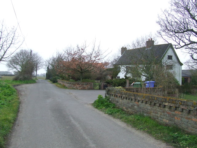
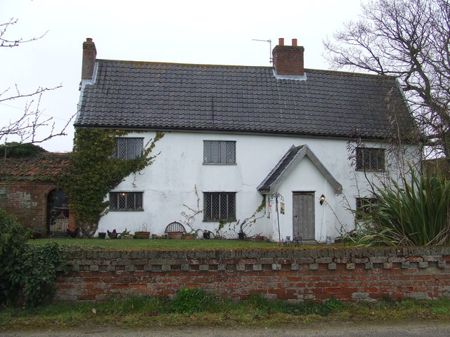
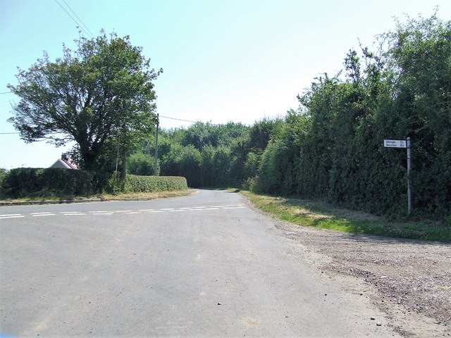
The village itself is small, with a population of around 200 residents. It boasts a quaint and charming atmosphere, with traditional cottages and narrow winding lanes. There are a few amenities available within the village, including a local pub and a small convenience store. Despite its rural location, Long Spring is well-connected to nearby towns and cities, with good transport links.
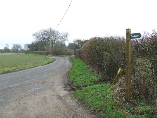
Visitors to Long Spring can enjoy a range of outdoor activities, such as hiking, cycling, and picnicking in the forest. There are also several walking trails that meander through the woodland, providing breathtaking views of the surrounding countryside. Overall, Long Spring, Suffolk offers a serene and picturesque setting for those seeking a peaceful escape amidst nature.
If you have any feedback on the listing, please let us know in the comments section below.
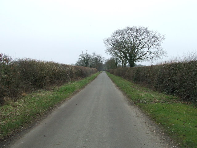
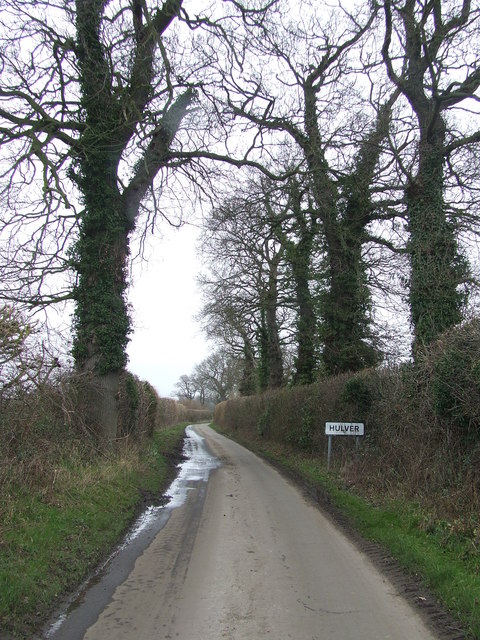
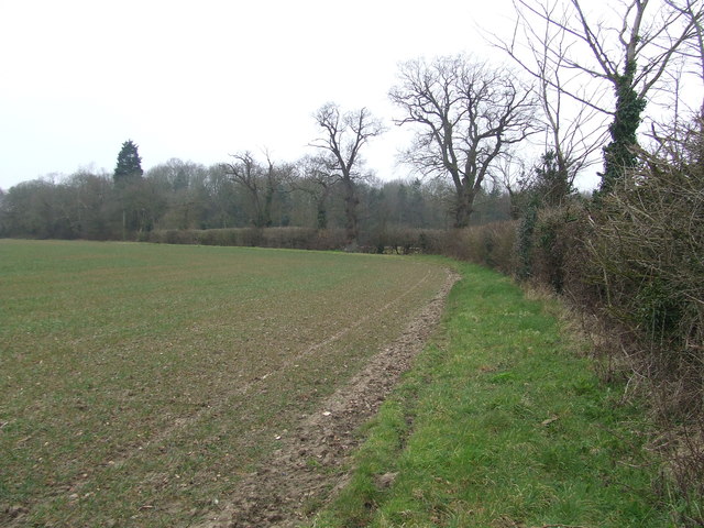
Long Spring Images
Images are sourced within 2km of 52.39823/1.6440092 or Grid Reference TM4784. Thanks to Geograph Open Source API. All images are credited.


Long Spring is located at Grid Ref: TM4784 (Lat: 52.39823, Lng: 1.6440092)
Administrative County: Suffolk
District: East Suffolk
Police Authority: Suffolk
What 3 Words
///regulates.anchors.informer. Near Kessingland, Suffolk
Nearby Locations
Related Wikis

Wrentham Hall
Wrentham Hall was a large now-demolished Manor House to the north-west of the village of Wrentham, Suffolk, England and which stood on what is now Blackmoor...
Sotterley Park
Sotterley Park is a 123.2-hectare (304-acre) biological Site of Special Scientific Interest in Sotterley in Suffolk. It is a Nature Conservation Review...

Henstead with Hulver Street
Henstead with Hulver Street is a civil parish in the East Suffolk district of the English county of Suffolk. It is around 5 miles (8.0 km) south-west of...

Old Town Hall, Wrentham
The Old Town Hall is a former municipal building in the High Street in Wrentham, Suffolk, England. The building, which was the meeting place of Wrentham...

Wrentham, Suffolk
Wrentham is a village and civil parish in the East Suffolk district, in the north-east of the English county of Suffolk. It is located about 2 miles (3...

Sotterley
Sotterley, originally Southern-lea from its situation south of the river, is a village and civil parish in the East Suffolk district, in the English county...
Henstead
Henstead is a village near Kessingland and the A12 in the civil parish of Henstead with Hulver Street, in the county of Suffolk, England. It has a church...

Frostenden
Frostenden is a village and civil parish in the East Suffolk district of the English county of Suffolk. It is around 8 miles (13 km) south-west of Lowestoft...
Nearby Amenities
Located within 500m of 52.39823,1.6440092Have you been to Long Spring?
Leave your review of Long Spring below (or comments, questions and feedback).