Lacon Covert
Wood, Forest in Norfolk Great Yarmouth
England
Lacon Covert
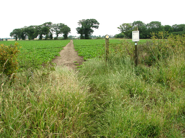
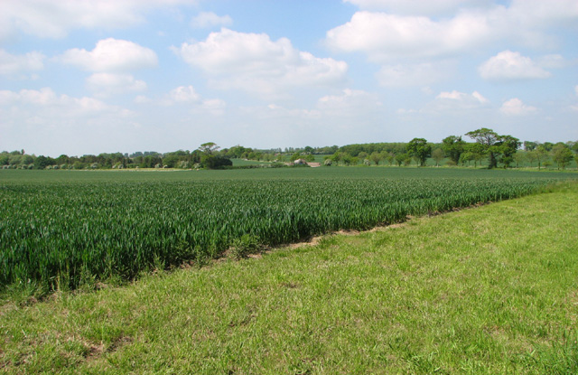
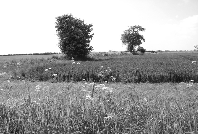
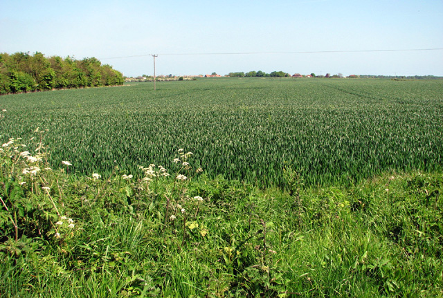
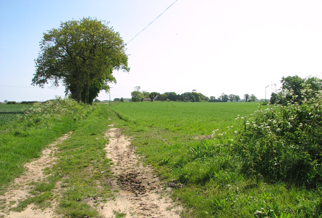
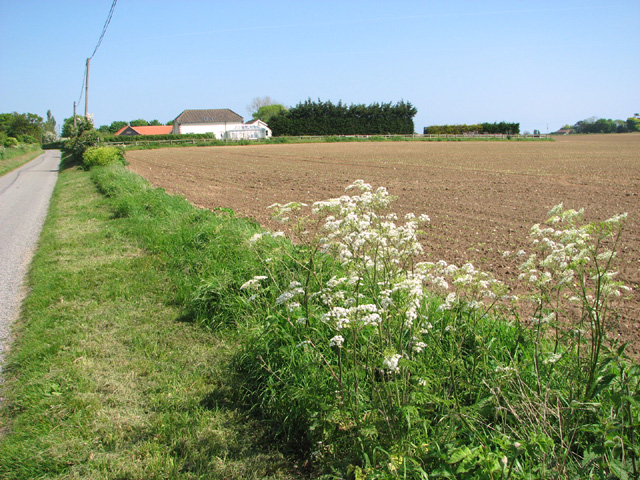
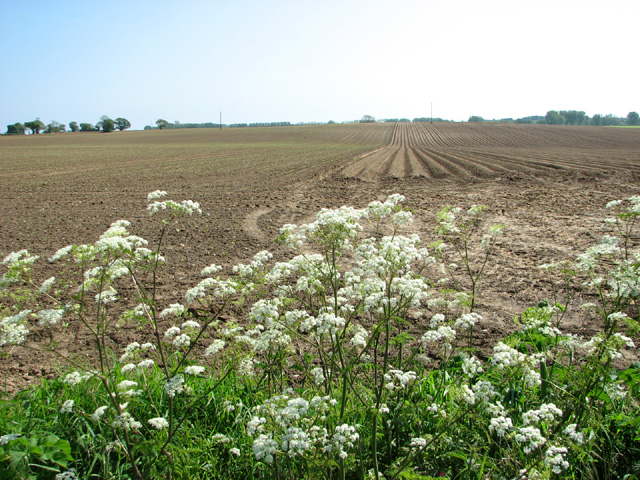
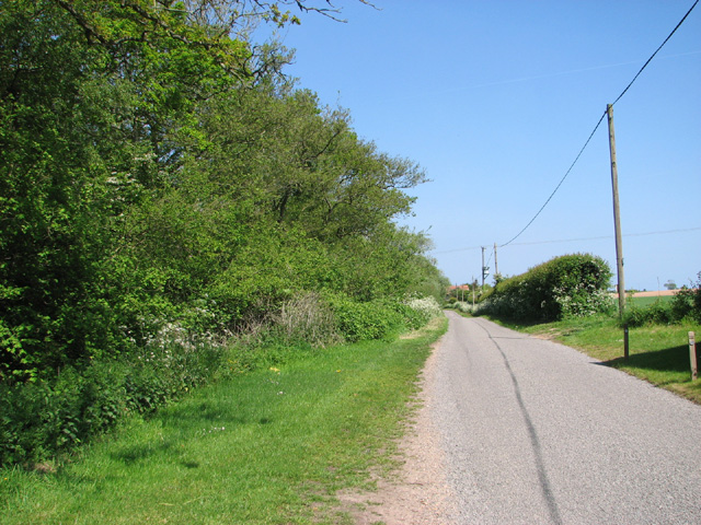
Lacon Covert is a picturesque woodland located in the county of Norfolk, England. Nestled amidst the idyllic countryside, the forest covers a vast area, providing a tranquil and serene environment for nature enthusiasts and visitors alike.
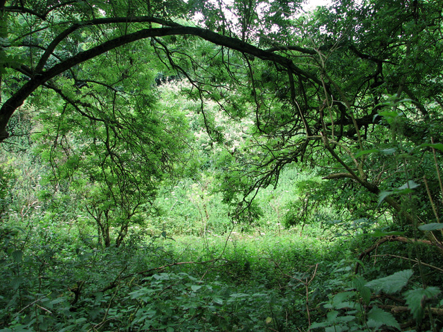
The woodland is characterized by its dense canopies of towering trees, predominantly consisting of oak, beech, and ash. These majestic trees create a leafy canopy that filters the sunlight, casting dappled shadows on the forest floor. The forest is also home to an array of indigenous plants and wildflowers, adding bursts of color and fragrance to the landscape.
Lacon Covert boasts a diverse ecosystem, supporting a variety of wildlife species. Nature enthusiasts can spot an abundance of birdlife, including woodpeckers, owls, and various songbirds. The forest is also home to mammals such as deer, foxes, and rabbits, which can often be seen foraging amongst the undergrowth.
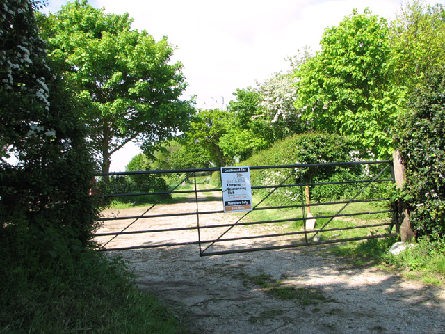
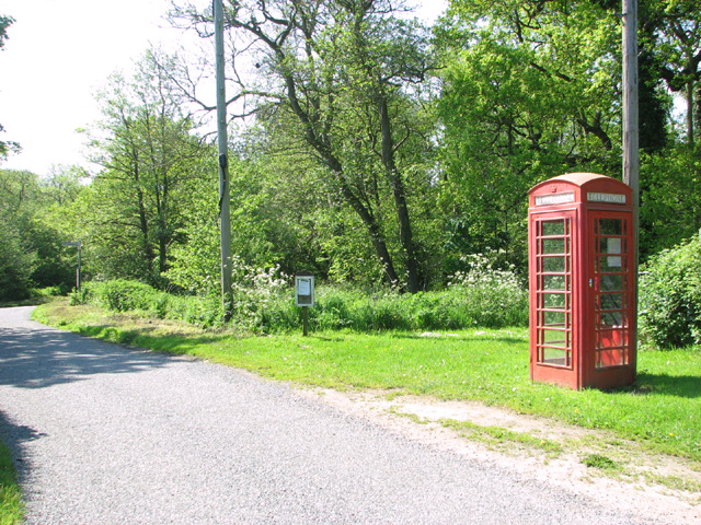
Visitors to Lacon Covert can explore the forest through a network of well-maintained trails and footpaths, allowing for leisurely walks or more adventurous hikes. The peaceful ambience of the woodland makes it an ideal location for picnics, photography, or simply immersing oneself in nature.
The forest is managed by local conservation organizations, ensuring the preservation of its natural beauty and wildlife. Educational programs and guided tours are also offered, providing visitors with an opportunity to learn about the ecosystem and the importance of sustainable forestry practices.
Overall, Lacon Covert in Norfolk offers a tranquil escape into nature, providing a sanctuary for both wildlife and humans alike.
If you have any feedback on the listing, please let us know in the comments section below.
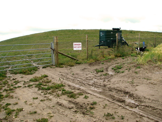
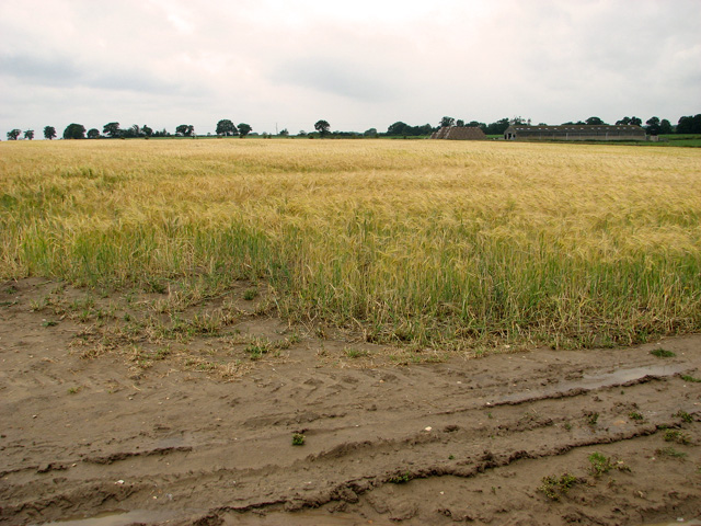
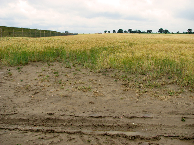
Lacon Covert Images
Images are sourced within 2km of 52.642505/1.6641548 or Grid Reference TG4711. Thanks to Geograph Open Source API. All images are credited.
Lacon Covert is located at Grid Ref: TG4711 (Lat: 52.642505, Lng: 1.6641548)
Administrative County: Norfolk
District: Great Yarmouth
Police Authority: Norfolk
What 3 Words
///dazzling.crunched.salad. Near Ormesby St Margaret, Norfolk
Nearby Locations
Related Wikis

Thrigby Windmill
Thrigby Post Windmill is located in the civil parish of Mautby in the English county of Norfolk. The mill is on the south side of Mill Lane 1,125 yards...

Mautby
Mautby is a village and civil parish in the English county of Norfolk, in the East Flegg Hundred. The parish comprises a largely rural area along the north...
Thrigby
Thrigby is a village and former civil parish 14 miles (23 km) east of Norwich, now in the parish of Mautby, in the Great Yarmouth district, in the county...

Filby
Filby is a village and civil parish in the English of Norfolk. The village is located 4.6 miles (7.4 km) north-west of Great Yarmouth and 15 miles (24...
West Caister
West Caister is a village and civil parish in the English county of Norfolk. It is situated just inland from the coast, some 2 km (1.2 mi) from the seaside...

Filby Broad
Filby Broad is one of five broads (lakes) in the Trinity Broads in Norfolk, England. It lies within the Broads National Park, adjacent to the village...
Nowhere, Norfolk
According to 19th-century directories, Nowhere or No-Where is a marshy area by the River Bure where the villagers of Acle, Norfolk had salt-pans to produce...

Ormesby St Michael
Ormesby St Michael is a small village and civil parish in the English county of Norfolk. It is situated some 12 km (7.5 mi) north-west of the town of Great...
Nearby Amenities
Located within 500m of 52.642505,1.6641548Have you been to Lacon Covert?
Leave your review of Lacon Covert below (or comments, questions and feedback).