Dunn's Hole

Wood, Forest in Suffolk East Suffolk

England

Dunn's Hole

Leiston Abbey in 1976 Looking west towards the largest cloister courtyard
Leiston Abbey in 1976 Credit: Clint Mann

Dunn's Hole is a picturesque woodland located in Suffolk, England. Situated within the larger Suffolk Coast and Heaths Area of Outstanding Natural Beauty, this woodland offers visitors a tranquil and enchanting experience.

Covering an area of approximately 150 acres, Dunn's Hole is characterized by its dense and diverse vegetation, which includes a variety of trees such as oak, beech, and birch. The woodland floor is adorned with an array of vibrant wildflowers, creating a beautiful tapestry of colors during the spring and summer months.

The woodland is intersected by several footpaths and trails, allowing visitors to explore its natural wonders at their own pace. These paths wind through the forest, offering glimpses of babbling brooks, small ponds, and ancient stone walls. Nature enthusiasts will delight in the opportunity to spot native wildlife, including deer, rabbits, and a wide variety of bird species.

Dunn's Hole is a popular destination for both locals and tourists, and it offers something for everyone. Whether you're seeking a peaceful retreat to reconnect with nature, a place to enjoy a family picnic, or an opportunity to engage in outdoor activities such as hiking or birdwatching, this woodland has it all.

Managed by the Suffolk Wildlife Trust, Dunn's Hole is dedicated to the conservation and preservation of its natural habitats. The trust works tirelessly to maintain the delicate balance of the ecosystem, ensuring that future generations can continue to enjoy the beauty and tranquility of this remarkable woodland.

If you have any feedback on the listing, please let us know in the comments section below.
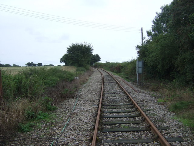
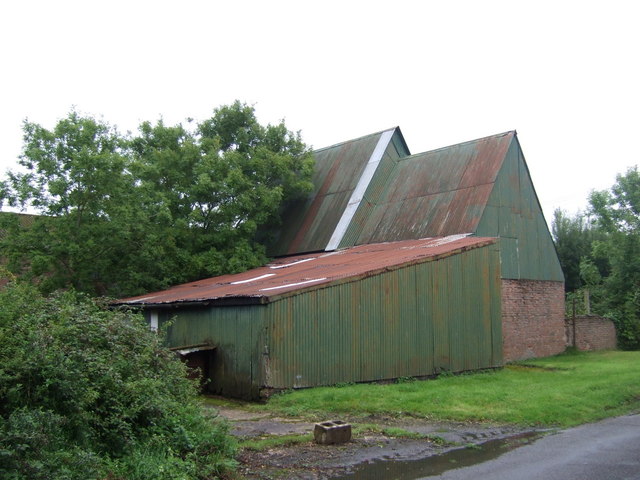
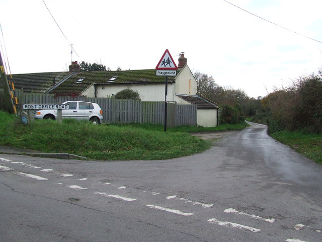
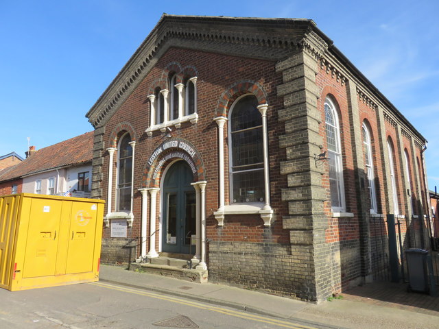
Dunn's Hole Images

Images are sourced within 2km of 52.205556/1.5694993 or Grid Reference TM4362. Thanks to Geograph Open Source API. All images are credited.

Leiston Abbey in 1976 Looking west towards the largest cloister courtyard
Leiston Abbey in 1976
Looking west towards the largest cloister courtyard
Footpath off Saxmundham Road (B1119)
Saxmundham Road Crossing
Field off Saxmundham Road (B1119)
Saxmundham Road (B1119)  Heading East towards Leiston.
Saxmundham Road (B1119)
Heading East towards Leiston.
Saxmundham Road Crossing Looking north.
Saxmundham Road Crossing
Looking north.
Railway heading east from Saxmundham Road Level Crossing The former branch line to Aldeburgh, later used for the transfer of materials to the Sizewell Nuclear Power Stations, near where it now terminates.
Railway heading east from Saxmundham Road Level Crossing
The former branch line to Aldeburgh, later used for the transfer of materials to the Sizewell Nuclear Power Stations, near where it now terminates.
Farm buildings, Crossing Farm
Post Office Road Post Office Road Coldfair Green, Suffolk.
Post Office Road
Post Office Road Coldfair Green, Suffolk.
Leiston United Church (Methodist/United Reformed Church)
St Margaret of Antioch Church, Leiston The church designed by Edward Buckton Lamb and was opened on August 31st 1854, by Bishop Blomfield of London, who had been born in Suffolk. It is on the site of an older church and retains the 14th century tower.
St Margaret of Antioch Church, Leiston
The church designed by Edward Buckton Lamb and was opened on August 31st 1854, by Bishop Blomfield of London, who had been born in Suffolk. It is on the site of an older church and retains the 14th century tower.
The Engineers Arms, Leiston
Cut Mark Leiston St Margarets Church Cut Mark Leiston St Margarets Church,Tower NW buttress, NW face.
Cut Mark Leiston St Margarets Church
Cut Mark Leiston St Margarets Church,Tower NW buttress, NW face.
Level Crossing Level crossing near to Knodishall, Suffolk.
Level Crossing
Level crossing near to Knodishall, Suffolk.
Leiston Abbey
Leiston Abbey
Young crop field north of Leiston
Road junction on Abbey Road (B1122) Looking south west.
Road junction on Abbey Road (B1122)
Looking south west.
Minor road towards Saxmundham Heading north west.
Minor road towards Saxmundham
Heading north west.
Show me another place!

Dunn's Hole is located at Grid Ref: TM4362 (Lat: 52.205556, Lng: 1.5694993)

Administrative County: Suffolk

District: East Suffolk

Police Authority: Suffolk

What 3 Words

///scoping.brings.pave. Near Leiston, Suffolk

Nearby Locations

Dunn's Hole

Related Wikis

Leiston F.C.

Leiston Football Club is a football club based in Leiston, Suffolk, England. They are currently members of the Southern League Premier Division Central...

Long Shop Museum

The Long Shop Museum is an industrial heritage museum in the town of Leiston in the English county of Suffolk. The museum features the history of Richard...

Richard Garrett & Sons

Richard Garrett & Sons was a manufacturer of agricultural machinery, steam engines and trolleybuses. Their factory was Leiston Works, in Leiston, Suffolk...

Leiston railway station

Leiston railway station was a station in Leiston, Suffolk. It was opened in 1859 by the East Suffolk Railway and later became part of the Great Eastern...

Nearby Amenities

Located within 500m of 52.205556,1.5694993
Leiston
Is In: England, Suffolk
Place: town
Source: NPE
Wikidata: Q2519667
Wikipedia: en:Leiston
Lat/Long: 52.20648/1.5764329
Crossing
Crossing Ref: zebra
Lat/Long: 52.2077215/1.5734628
Traffic Signals
Lat/Long: 52.2078084/1.5743812
Noexit: yes
Lat/Long: 52.2071628/1.5761695
Booth: K6
Removed Amenity: telephone
Lat/Long: 52.2079656/1.5756759
Post Box
Collection Times: Mo-Fr 16:45; Sa 11:15
Post Box Type: pillar
Ref: IP16 4629
Royal Cypher: EIIR
Royal Cypher Wikidata: Q33102113
Lat/Long: 52.2079515/1.5756785
Bus Stop
Alde Valley Sixth Form
Bus: yes
Naptan AtcoCode: 390060212
Naptan Bearing: W
Naptan CommonName: Middle School
Naptan Indicator: o/s
Naptan Landmark: Middle School
Naptan NaptanCode: sufgpadm
Naptan Street: Waterloo Avenue
Naptan Verified: no
Public Transport: platform
Source: naptan_import
Was Name: Middle School
Lat/Long: 52.2075598/1.5719643
Bus Stop
Alde Valley Sixth Form
Bus: yes
Naptan AtcoCode: 390060213
Naptan Bearing: E
Naptan CommonName: Middle School
Naptan Indicator: opp
Naptan Landmark: Middle School
Naptan NaptanCode: sufgpadp
Naptan Street: Waterloo Avenue
Naptan Verified: no
Public Transport: platform
Source: naptan_import
Was Name: Middle School
Lat/Long: 52.2076004/1.5713047
Bus Stop
Church Road
Bus: yes
Naptan AtcoCode: 390060214
Naptan Bearing: E
Naptan CommonName: Church Road
Naptan Indicator: adj
Naptan Landmark: Church Road
Naptan NaptanCode: sufgpadt
Naptan Street: Waterloo Avenue
Naptan Verified: no
Public Transport: platform
Source: naptan_import
Lat/Long: 52.2077546/1.5683983
Bus Stop
Church Road
Bus: yes
Naptan AtcoCode: 390060215
Naptan Bearing: W
Naptan CommonName: Church Road
Naptan Indicator: opp
Naptan Landmark: Church Road
Naptan NaptanCode: sufgpadw
Naptan Street: Waterloo Avenue
Naptan Verified: no
Public Transport: platform
Source: naptan_import
Lat/Long: 52.207728/1.568077
Bus Stop
Paradise Place
Naptan AtcoCode: 390061043
Naptan Bearing: S
Naptan CommonName: Paradise Place
Naptan Indicator: adj
Naptan Landmark: Paradise Place
Naptan NaptanCode: sufjpjpm
Naptan Street: Haylings Road
Naptan Verified: no
Source: naptan_import
Lat/Long: 52.2033409/1.5740833
Bus Stop
Paradise Place
Naptan AtcoCode: 390061044
Naptan Bearing: N
Naptan CommonName: Paradise Place
Naptan Indicator: opp
Naptan Landmark: Paradise Place
Naptan NaptanCode: sufjpjpw
Naptan Street: Haylings Road
Naptan Verified: no
Source: naptan_import
Lat/Long: 52.2028087/1.5736528
Source: bing
Lat/Long: 52.2091599/1.573725
Source: bing
Lat/Long: 52.2091669/1.5736218
Source: bing
Lat/Long: 52.2090947/1.5736087
Source: bing
Lat/Long: 52.2091049/1.5734586
Source: bing
Lat/Long: 52.2090418/1.5734471
Source: bing
Lat/Long: 52.2090389/1.5730497
Source: bing
Lat/Long: 52.2090007/1.5730427
Source: bing
Lat/Long: 52.2090083/1.5727526
Source: bing
Lat/Long: 52.2090716/1.5727641
Source: bing
Lat/Long: 52.2092284/1.5707268
Source: bing
Lat/Long: 52.2089142/1.5706696
Source: bing
Lat/Long: 52.208965/1.5699264
Source: bing
Lat/Long: 52.2093929/1.5700043
Source: bing
Lat/Long: 52.2093805/1.5701861
Source: bing
Lat/Long: 52.209551/1.5702172
Source: bing
Lat/Long: 52.2095637/1.5700322
Source: bing
Lat/Long: 52.209689/1.570055
Source: bing
Lat/Long: 52.2096771/1.5702304
Source: bing
Lat/Long: 52.209823/1.5702569
Traffic Signals
Lat/Long: 52.2076501/1.574541
Traffic Signals
Lat/Long: 52.2077512/1.5745298
Traffic Signals
Lat/Long: 52.2076849/1.5746293
Crossing
Lat/Long: 52.2056837/1.5748059
Source: bing
Lat/Long: 52.2088222/1.569823
Source: bing
Lat/Long: 52.2088288/1.5740223
Source: bing
Lat/Long: 52.2088805/1.5704767
Source: bing
Lat/Long: 52.2088822/1.5707155
Source: bing
Lat/Long: 52.2089028/1.57003
Source: bing
Lat/Long: 52.208939/1.5698052
Source: bing
Lat/Long: 52.2089579/1.5729743
Source: bing
Lat/Long: 52.2089837/1.5727215
Source: bing
Lat/Long: 52.2089872/1.5733368
Source: bing
Lat/Long: 52.2090268/1.5736009
Source: bing
Lat/Long: 52.2090767/1.5721399
Source: bing
Lat/Long: 52.2090784/1.5737132
Source: bing
Lat/Long: 52.2091507/1.5711819
Source: bing
Lat/Long: 52.2088005/1.5740167
Source: bing
Lat/Long: 52.2088051/1.573912
Source: bing
Lat/Long: 52.2088546/1.5741732
Source: bing
Lat/Long: 52.2088601/1.5740262
Tourism: village_sign
Lat/Long: 52.2076456/1.5745536
Waste Basket
Lat/Long: 52.2077821/1.568418
Post Box
Collection Times: Mo-Fr 16:45; Sa 11:30
Post Box Type: lamp
Ref: IP16 4661
Royal Cypher: EIIR
Royal Cypher Wikidata: Q33102113
Lat/Long: 52.2077897/1.5683285
Post Box
Collection Times: Mo-Fr 09:00; Sa 07:00
Post Box Type: lamp
Ref: IP16 4642D
Royal Cypher: EIIR
Royal Cypher Wikidata: Q33102113
Lat/Long: 52.203451/1.5741981
Bench
Lat/Long: 52.205872/1.5748612
Addr City: Leiston
Addr Housename: Masterlord Industrial Estate
Addr Postcode: IP16 4JD
Addr Street: Station Road
Lat/Long: 52.2094735/1.5728964
Leisure: fitness_centre
Lat/Long: 52.2060517/1.5745539
Bench
Backrest: yes
Material: wood
Lat/Long: 52.2063939/1.5745849
Bench
Backrest: yes
Material: wood
Lat/Long: 52.2062295/1.5763471
Board Type: notice
Information: board
Tourism: information
Lat/Long: 52.2079409/1.5756805
Waste Basket
Lat/Long: 52.2076003/1.5745205
Barrier: cycle_barrier
Lat/Long: 52.2056256/1.571703
Waste Basket
Waste: dog_excrement
Lat/Long: 52.2067988/1.5746852
Bench
Lat/Long: 52.2071126/1.5743557
Waste Basket
Lat/Long: 52.2071305/1.5744735
Waste Basket
Waste: dog_excrement
Lat/Long: 52.2074607/1.5733666
The data included in this document is from www.openstreetmap.org. The data is made available under ODbL.

Have you been to Dunn's Hole?

Leave your review of Dunn's Hole below (or comments, questions and feedback).