Alder Carr

Wood, Forest in Suffolk East Suffolk

England

Alder Carr

Wheatfield south of Eastbridge
Wheatfield south of Eastbridge Credit: Christopher Hilton

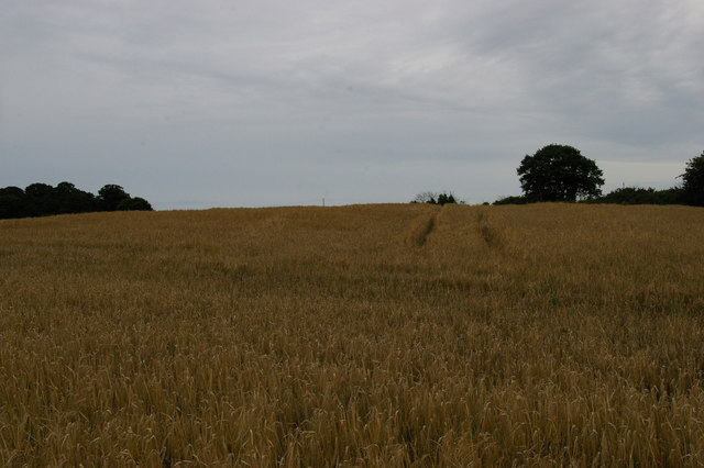
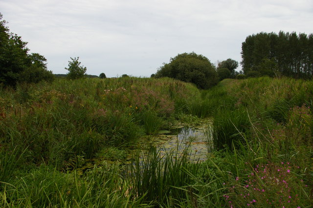
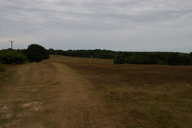
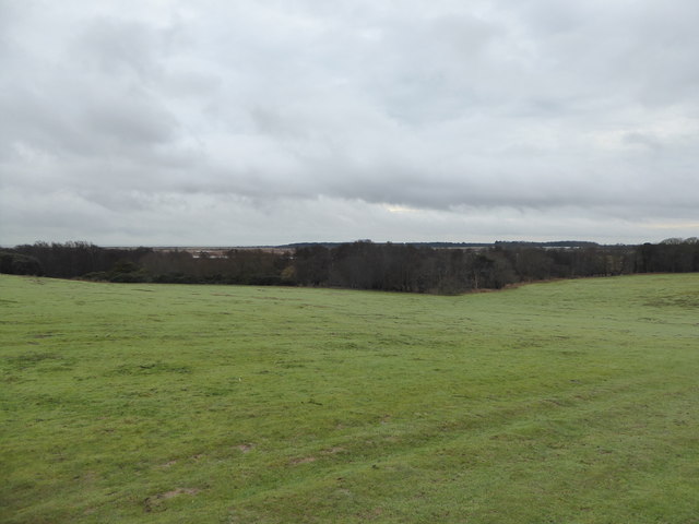
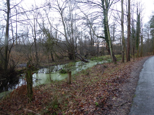
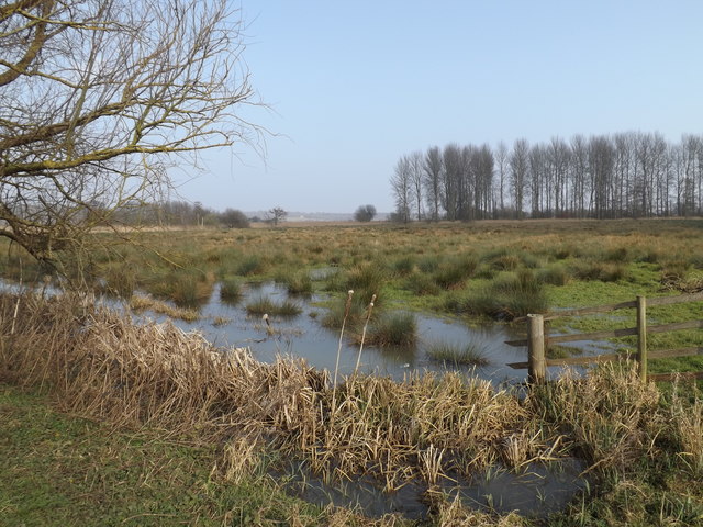
Alder Carr, Suffolk, also known as Wood or Forest, is a picturesque rural area located in the East of England. Covering a vast expanse of land, it is known for its dense alder tree population, which gives the area its name. With its stunning natural beauty and abundant wildlife, Alder Carr has become a popular destination for nature enthusiasts and outdoor lovers.

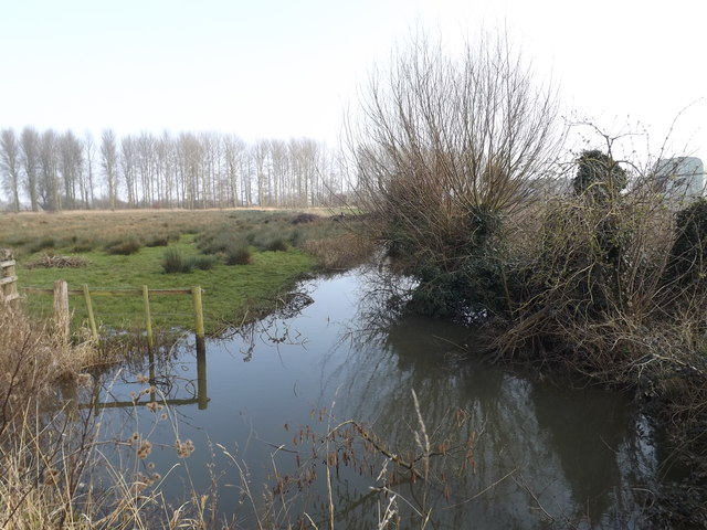
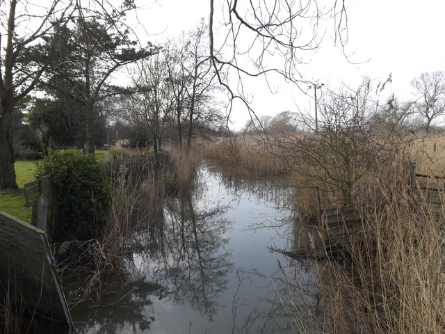
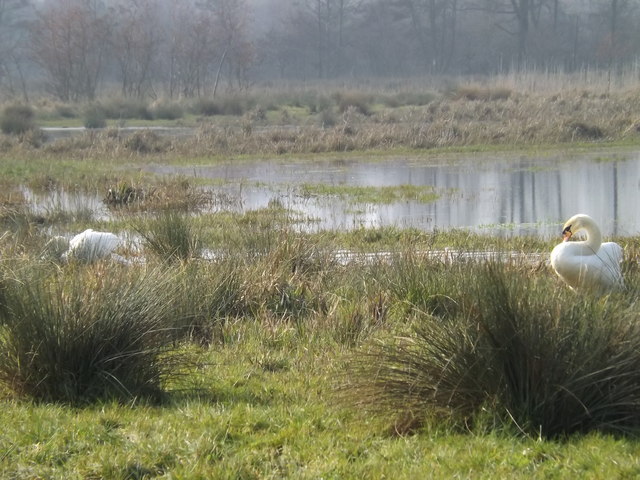
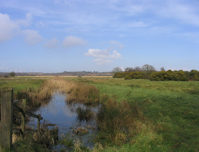
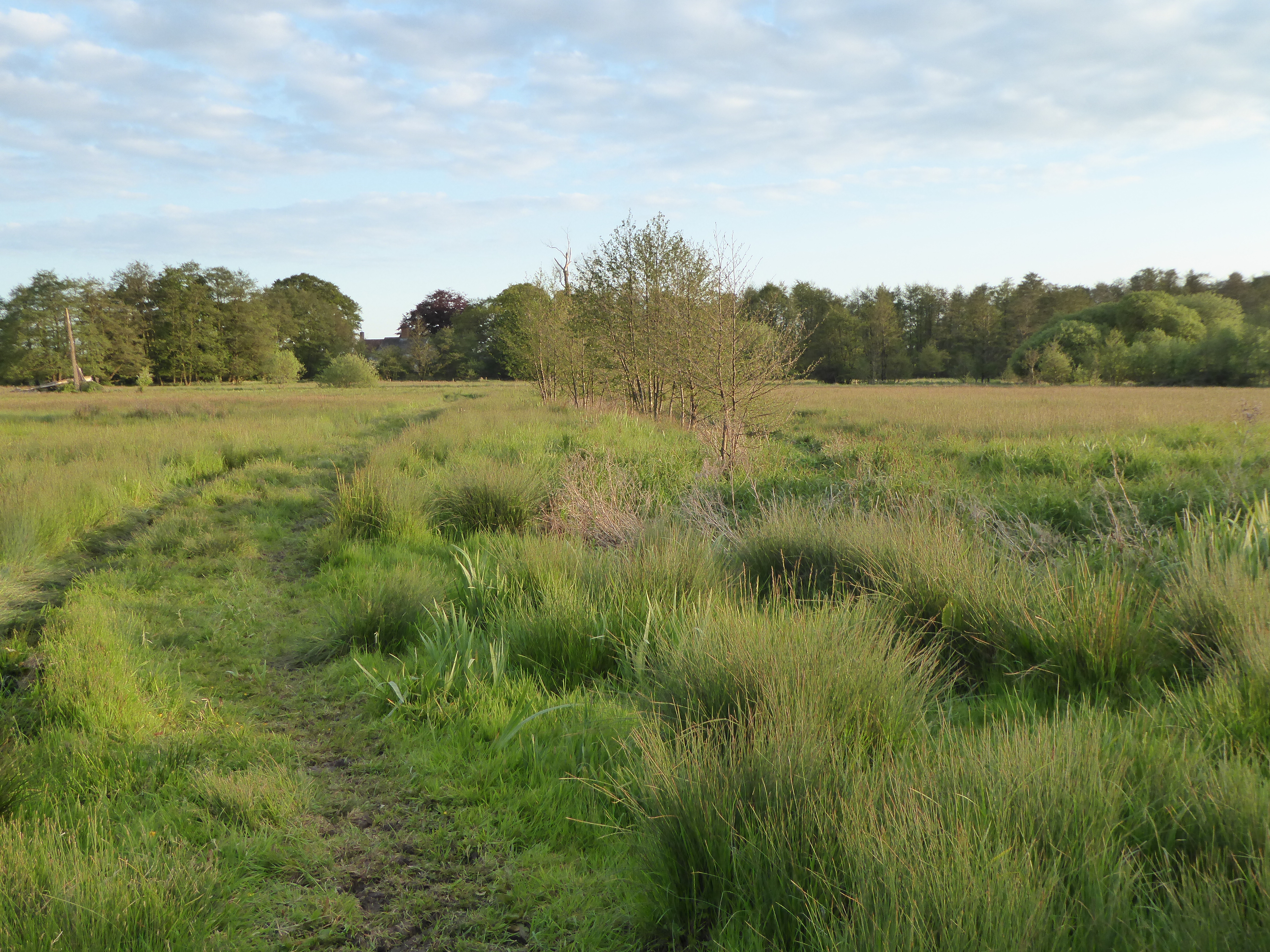
The area boasts a diverse range of habitats, including wetlands, meadows, and woodlands, providing a rich environment for a variety of plant and animal species. The alder trees, with their distinctive cone-like fruits and serrated leaves, dominate the landscape, creating a unique and enchanting atmosphere. Visitors can wander through the dense forest trails, exploring the hidden corners and immersing themselves in the tranquility of nature.

Alder Carr is home to a wide array of wildlife, including birds, mammals, and insects. Birdwatchers will be delighted by the presence of rare species such as kingfishers, nightingales, and woodpeckers. Otters and water voles can be spotted along the riverbanks, while butterflies and dragonflies flit among the wildflowers.

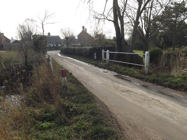
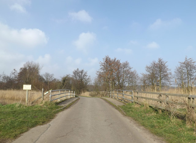
In addition to its natural wonders, Alder Carr offers various recreational activities for visitors. Hiking and cycling trails crisscross the area, providing opportunities for outdoor adventures. There are also designated picnic areas and camping spots for those who wish to extend their stay and fully immerse themselves in the beauty of the surroundings.

Overall, Alder Carr, Suffolk, is a remarkable destination for nature enthusiasts and those seeking a peaceful retreat amidst stunning woodland scenery.

If you have any feedback on the listing, please let us know in the comments section below.
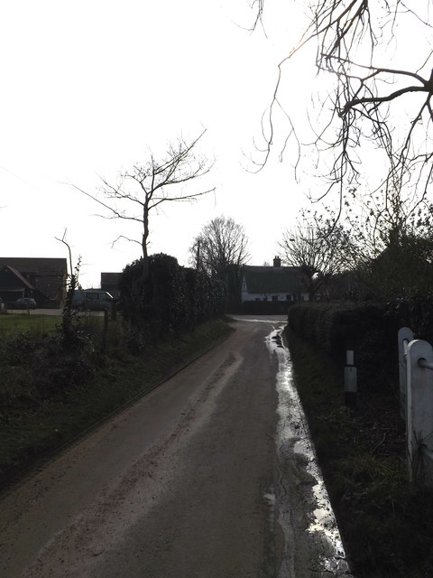
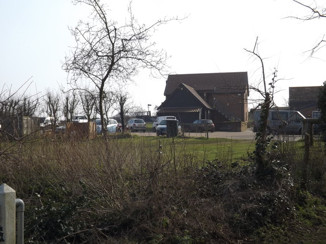
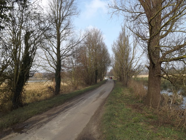
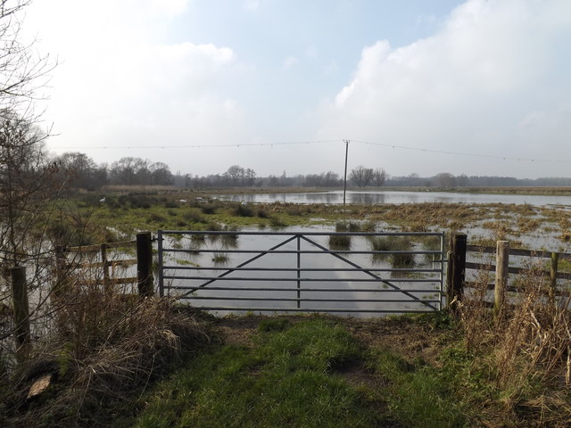
Alder Carr Images

Images are sourced within 2km of 52.247578/1.5722445 or Grid Reference TM4367. Thanks to Geograph Open Source API. All images are credited.

Wheatfield south of Eastbridge
Minsmere New Cut from Dam Bridge
View towards Vault Hill and Scott's Hall Farm, on Westleton Walks Vault Hill and Scott's Hall Farm lie in <a href="https://www.geograph.org.uk/gridref/TM4667">TM4667</a>.
View towards Vault Hill and Scott's Hall Farm, on Westleton Walks
Vault Hill and Scott's Hall Farm lie in TM4667.
View across the Minsmere Nature Reserve towards Sizewell
Boggy area beside the road On the road up to Scott's Hall and Minsmere Nature Reserve
Boggy area beside the road
On the road up to Scott's Hall and Minsmere Nature Reserve
Entering Eastbridge on Eastbridge Lane <span class="nowrap"><a title="https://en.wikipedia.org/wiki/Eastbridge" rel="nofollow ugc noopener" href="https://en.wikipedia.org/wiki/Eastbridge">Link</a><img style="margin-left:2px;" alt="External link" title="External link - shift click to open in new window" src="https://s1.geograph.org.uk/img/external.png" width="10" height="10"/></span>
Entering Eastbridge on Eastbridge Lane
Eastbridge Village Name sign on Eastbridge Lane <span class="nowrap"><a title="https://en.wikipedia.org/wiki/Eastbridge" rel="nofollow ugc noopener" href="https://en.wikipedia.org/wiki/Eastbridge">Link</a><img style="margin-left:2px;" alt="External link" title="External link - shift click to open in new window" src="https://s1.geograph.org.uk/img/external.png" width="10" height="10"/></span>
Eastbridge Village Name sign on Eastbridge Lane
Eastbridge Lane, Eastbridge <span class="nowrap"><a title="https://en.wikipedia.org/wiki/Eastbridge" rel="nofollow ugc noopener" href="https://en.wikipedia.org/wiki/Eastbridge">Link</a><img style="margin-left:2px;" alt="External link" title="External link - shift click to open in new window" src="https://s1.geograph.org.uk/img/external.png" width="10" height="10"/></span>
Eastbridge Lane, Eastbridge
Farmland off Eastbridge Lane <span class="nowrap"><a title="https://en.wikipedia.org/wiki/Eastbridge" rel="nofollow ugc noopener" href="https://en.wikipedia.org/wiki/Eastbridge">Link</a><img style="margin-left:2px;" alt="External link" title="External link - shift click to open in new window" src="https://s1.geograph.org.uk/img/external.png" width="10" height="10"/></span>
Farmland off Eastbridge Lane
Bridge on Eastbridge Lane <span class="nowrap"><a title="https://en.wikipedia.org/wiki/Eastbridge" rel="nofollow ugc noopener" href="https://en.wikipedia.org/wiki/Eastbridge">Link</a><img style="margin-left:2px;" alt="External link" title="External link - shift click to open in new window" src="https://s1.geograph.org.uk/img/external.png" width="10" height="10"/></span>
Bridge on Eastbridge Lane
Drain off Eastbridge Lane <span class="nowrap"><a title="https://en.wikipedia.org/wiki/Eastbridge" rel="nofollow ugc noopener" href="https://en.wikipedia.org/wiki/Eastbridge">Link</a><img style="margin-left:2px;" alt="External link" title="External link - shift click to open in new window" src="https://s1.geograph.org.uk/img/external.png" width="10" height="10"/></span>
Drain off Eastbridge Lane
Eastbridge Lane, Eastbridge <span class="nowrap"><a title="https://en.wikipedia.org/wiki/Eastbridge" rel="nofollow ugc noopener" href="https://en.wikipedia.org/wiki/Eastbridge">Link</a><img style="margin-left:2px;" alt="External link" title="External link - shift click to open in new window" src="https://s1.geograph.org.uk/img/external.png" width="10" height="10"/></span>
Eastbridge Lane, Eastbridge
The Eels Foot Inn Public House, Eastbridge <span class="nowrap"><a title="http://www.theeelsfootinn.co.uk/" rel="nofollow ugc noopener" href="http://www.theeelsfootinn.co.uk/">Link</a><img style="margin-left:2px;" alt="External link" title="External link - shift click to open in new window" src="https://s1.geograph.org.uk/img/external.png" width="10" height="10"/></span>
The Eels Foot Inn Public House, Eastbridge
Eastbridge Lane, Eastbridge Looking towards Dam Bridge
Eastbridge Lane, Eastbridge
Looking towards Dam Bridge
Field entrance off Eastbridge Lane Near Dam Bridge
Field entrance off Eastbridge Lane
Near Dam Bridge
Swans off Eastbridge Lane Near Dam Bridge
Swans off Eastbridge Lane
Near Dam Bridge
Dam Bridge on Eastbridge Lane <span class="nowrap"><a title="https://en.wikipedia.org/wiki/Eastbridge" rel="nofollow ugc noopener" href="https://en.wikipedia.org/wiki/Eastbridge">Link</a><img style="margin-left:2px;" alt="External link" title="External link - shift click to open in new window" src="https://s1.geograph.org.uk/img/external.png" width="10" height="10"/></span>
Dam Bridge on Eastbridge Lane
Show me another place!

Alder Carr is located at Grid Ref: TM4367 (Lat: 52.247578, Lng: 1.5722445)

Administrative County: Suffolk

District: East Suffolk

Police Authority: Suffolk

What 3 Words

///tweezers.boarding.lure. Near Leiston, Suffolk

Nearby Locations

Alder Carr

Related Wikis

Theberton

Theberton is a village in Suffolk, England. It is located 4 miles (6 km) north-east of Saxmundham, and 3 miles (5 km) miles north of Leiston, its post...

Middleton, Suffolk

Middleton is a village in the east of the English county of Suffolk. It is located approximately 3 miles (5 km) north-west of Leiston, 5 miles (8 km)...
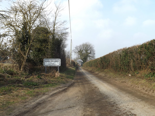
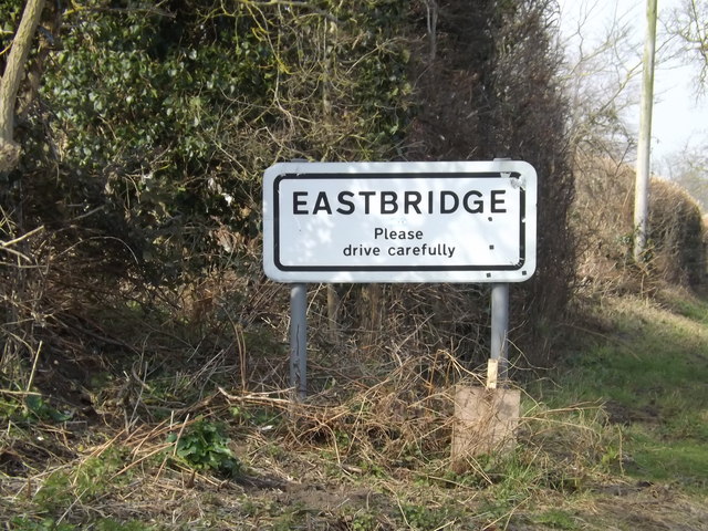
Eastbridge

Eastbridge is a village in the English county of Suffolk. It is located approximately 4 miles (6.4 km) north of Leiston, 2 miles (3.2 km) from the North...

Westleton

Westleton is a village and civil parish in the English county of Suffolk. It is located 4 miles (6 km) north of Leiston and 5 miles (8 km) north-east of...

Minsmere

Minsmere is a place in the English county of Suffolk. It is located on the North Sea coast around 3.5 miles (5.6 km) north of Leiston and 1.5 miles (2...

RSPB Minsmere

RSPB Minsmere is a nature reserve owned and managed by the Royal Society for the Protection of Birds (RSPB) at Minsmere, Suffolk. The 1,000-hectare (2...

Darsham Marshes

Darsham Marshes is a 20 hectare nature reserve south of Darsham in Suffolk, England. It is owned and managed by the Suffolk Wildlife Trust.This marsh and...

Leiston Abbey

Leiston Abbey outside the town of Leiston, Suffolk, England, was a religious house of Canons Regular following the Premonstratensian rule (White canons...

Related Videos

Fishers Farm Caravan and Motorhome Club CL site Theberton in Suffolk

A short video of Fishers Farm Caravan and Motorhome Club CL site near Theberton in Suffolk. This is a large spacious site with ...

The Great British Autumn | Shower Dodging and a 1990s Harley Book

A wet day in the countryside, a family run tea room and a 1990s Harley Davidson book find. Locations: - Antiques Shop: Stratford ...

Wise Woman - Fen Woman (Official Video)

FEN WOMAN from Wise Woman's debut EP THREAD, out now. Buy THREAD - https://wisewoman.bandcamp.com/ Stream ...

Have you been to Alder Carr?

Leave your review of Alder Carr below (or comments, questions and feedback).