Fulmer

Settlement in Buckinghamshire

England

Fulmer

On the M40 heading west
On the M40 heading west Credit: Rob Purvis

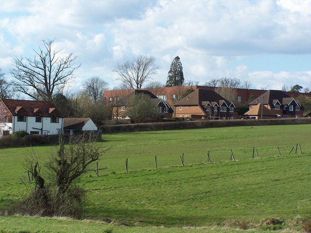
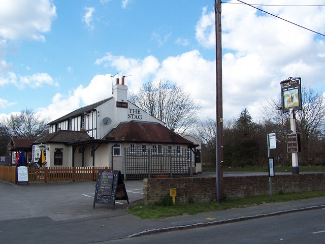
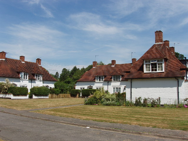
Fulmer is a picturesque village located in the county of Buckinghamshire, England. Situated approximately 3 miles northwest of Gerrards Cross, it is nestled within the scenic Chiltern Hills Area of Outstanding Natural Beauty. The village is home to a population of around 400 residents, offering a tight-knit and peaceful community.

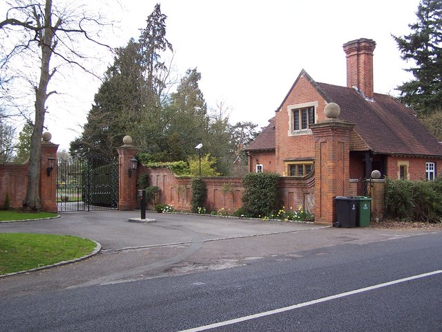
Fulmer is characterized by its idyllic rural setting, comprising charming cottages, historic buildings, and sprawling green landscapes. The heart of the village is centered around the 13th-century St. James' Church, an architectural gem that serves as a focal point for both religious and community events. The churchyard is a tranquil spot, providing a serene place for reflection.

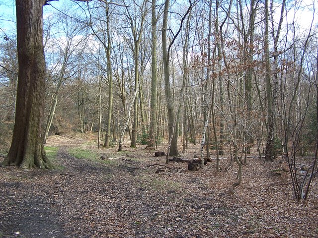
The village is surrounded by rich agricultural land, with open fields and patches of woodland offering delightful opportunities for outdoor activities such as walking, cycling, or horse riding. The nearby Black Park Country Park provides further recreational amenities, including a lake, woodlands, and various trails.

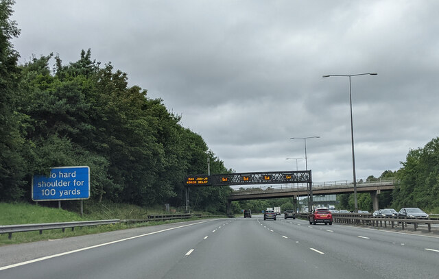
Despite its small size, Fulmer benefits from its proximity to neighboring towns and villages. Gerrards Cross offers a range of amenities, including shops, restaurants, and a railway station providing convenient access to London and other major cities. The village is also well-connected by road, with the nearby M40 and M25 motorways allowing for easy travel to other parts of the country.

Overall, Fulmer is a charming and serene village that offers a delightful blend of natural beauty, historic charm, and a close-knit community. It is an ideal place for those seeking tranquility and a rural lifestyle while still enjoying the convenience of nearby amenities.

If you have any feedback on the listing, please let us know in the comments section below.

Fulmer Images

Images are sourced within 2km of 51.55994/-0.563007 or Grid Reference SU9985. Thanks to Geograph Open Source API. All images are credited.

On the M40 heading west
Church Row, Fulmer These houses are across the road from the church
Church Row, Fulmer
These houses are across the road from the church
St James Church, Fulmer This brick church was built in 1610
St James Church, Fulmer
This brick church was built in 1610
House in  Gerrards Cross This is an area of detached houses, all individual designs, set back from the road,  surrounded by hedges and trees
House in Gerrards Cross
This is an area of detached houses, all individual designs, set back from the road, surrounded by hedges and trees
Fulmer Drive, Gerrards Cross There are houses set back among the trees either side of this road in an urban area.
Fulmer Drive, Gerrards Cross
There are houses set back among the trees either side of this road in an urban area.
Windsor Road, Gerrards Cross This is at the southern fringe of the town, looking south with the road about to go down into the Alderbourne valley and under the M40 motorway. There are houses set back among the trees.
Windsor Road, Gerrards Cross
This is at the southern fringe of the town, looking south with the road about to go down into the Alderbourne valley and under the M40 motorway. There are houses set back among the trees.
Parkside Cemetery of South Bucks District Council This modern cemetery is designed for ease of maintenance. Memorials are flat in the ground to make it easy to mow the grass, and also to avoid the possible safety hazard of stones toppling over.
Parkside Cemetery of South Bucks District Council
This modern cemetery is designed for ease of maintenance. Memorials are flat in the ground to make it easy to mow the grass, and also to avoid the possible safety hazard of stones toppling over.
Stoke Common heathland This common is a Site of Special Scientific Interest (SSSI) - "an area of wet and dry heath on glacial gravels over London clay". See the English Nature website for more information.
Stoke Common heathland
This common is a Site of Special Scientific Interest (SSSI) - "an area of wet and dry heath on glacial gravels over London clay". See the English Nature website for more information.
Farm near Hedgerley Park This photo is taken from the B416 just south of the M40 Motorway.
Farm near Hedgerley Park
This photo is taken from the B416 just south of the M40 Motorway.
Rowley Wood - Path adjacent to Rowley Lane
Framewood Manor - Gatehouse
Houses East of Sefton Park Taken from Farthing Green Lane - looking North East
Houses East of Sefton Park
Taken from Farthing Green Lane - looking North East
The Stag at Wexham Street
Fulmer Village Hall Opened by Princess Alexandra in March 1957, so it celebrates its 50th birthday this year. The mileages on the sign read Wexham 2 Slough 4 to the left and Gerrards Cross 2 to the right.
Fulmer Village Hall
Opened by Princess Alexandra in March 1957, so it celebrates its 50th birthday this year. The mileages on the sign read Wexham 2 Slough 4 to the left and Gerrards Cross 2 to the right.
Fulmer: Black Horse public house & the church of St James Saints and sinners in Fulmer. The Black Horse is a Greene King pub on Windmill Road. The building was constructed about 1610 to house builders working on the church next door. The pub has an excellent website here <span class="nowrap"><a title="http://www.blackhorsepublichouse.co.uk/" rel="nofollow ugc noopener" href="http://www.blackhorsepublichouse.co.uk/">Link</a><img style="margin-left:2px;" alt="External link" title="External link - shift click to open in new window" src="https://s1.geograph.org.uk/img/external.png" width="10" height="10"/></span>
Fulmer: Black Horse public house & the church of St James
Saints and sinners in Fulmer. The Black Horse is a Greene King pub on Windmill Road. The building was constructed about 1610 to house builders working on the church next door. The pub has an excellent website here LinkExternal link
Stoke Poges: The Rose & Crown public house A Greene King pub on the north side of Hollybush Hill.
Stoke Poges: The Rose & Crown public house
A Greene King pub on the north side of Hollybush Hill.
St. James Church, Fulmer, Bucks If you stood there as well, you too could've heard the bells ringing for Sunday worship.
St. James Church, Fulmer, Bucks
If you stood there as well, you too could've heard the bells ringing for Sunday worship.
Fulmer Road, Fulmer
Fulmer Road, Fulmer
Show me another place!

Fulmer is located at Grid Ref: SU9985 (Lat: 51.55994, Lng: -0.563007)

Unitary Authority: Buckinghamshire

Police Authority: Thames Valley

What 3 Words

///left.rather.zest. Near Stoke Poges, Buckinghamshire

Nearby Locations

Fulmer

Related Wikis

Fulmer

Fulmer is a village and civil parish in south Buckinghamshire, England. The village has, along most of its northern border, a narrow green buffer from...
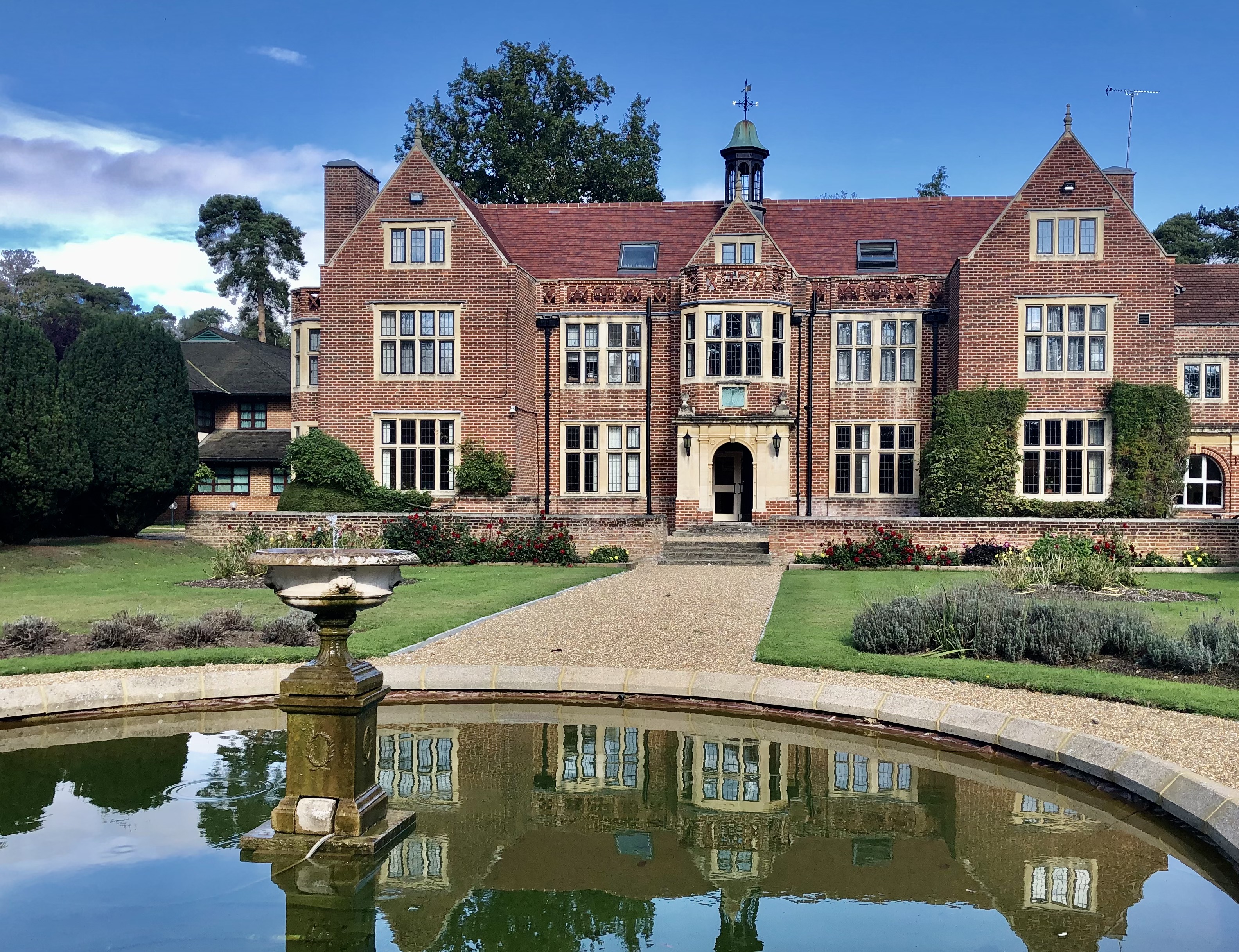
Fulmer Place

Fulmer Place is a Grade II listed mansion at Fulmer in Buckinghamshire which was formerly the home of Lord John Hay. == History == Formerly the seat of...

Teikyo School United Kingdom

Teikyo School United Kingdom (帝京ロンドン学園高等部, Teikyō Rondon Gakuen Kōtōbu, "Teikyo London Academy High School Division") is a Japanese international school...

Fulmer Research Institute

Fulmer Research Institute was founded in 1945 as a UK contract research and development organization specializing in materials technology and related areas...

Wexham

Wexham is a civil parish straddling the ceremonial counties of Berkshire and Buckinghamshire in southern England. Wexham Park Hospital is a large hospital...

Stoke and Wexham War Memorial

Stoke and Wexham War Memorial is located in Wexham Street, Wexham, Buckinghamshire, England. It is a grade II listed building with Historic England and...

Stoke Hundred

Stoke Hundred is a hundred in Buckinghamshire, England. It is situated in the south of the county and is bounded on the east by Middlesex and on the south...

Stoke Poges

Stoke Poges () is a village and civil parish in south-east Buckinghamshire, England. It is centred 3 miles (4.8 km) north-north-east of Slough, its post...

Nearby Amenities

Located within 500m of 51.55994,-0.563007
Barrier: stile
Lat/Long: 51.5635796/-0.5658617
Fulmer
Place: village
Source: OS_OpenData_StreetView
Lat/Long: 51.5614118/-0.5614202
Entrance: yes
Lat/Long: 51.5616944/-0.5600416
Direction: 130
Generator Method: photovoltaic
Generator Output Electricity: yes
Generator Solar Modules: 24
Generator Source: solar
Generator Type: solar_photovoltaic_panel
Location: roof
Power: generator
Lat/Long: 51.5604496/-0.5619427
Crossing
Lat/Long: 51.5576703/-0.5689022
Telephone
Booth: K6
Covered: booth
Listed Status: Grade II
Man Made: telephone_box
Tourism: museum
Lat/Long: 51.5613521/-0.5598788
Board Type: notice
Information: board
Tourism: information
Lat/Long: 51.5615666/-0.5602312
Access: yes
Barrier: kissing_gate
Bicycle: no
Foot: yes
Horse: no
Motor Vehicle: no
Lat/Long: 51.5613201/-0.5597282
Cafe
Fixme: unsure if different name to farm shop
Lat/Long: 51.5607552/-0.5602347
Defibrillator
Defibrillator Location: Village Hall Car Park, outside side entrance
Emergency: defibrillator
Lat/Long: 51.5616549/-0.5597439
Post Box
Note: yellow, not sure if that's important
Operator: Royal Mail
Operator Wikidata: Q638098
Post Box Type: yes
Ref: SL3 127
Royal Cypher: GR
Lat/Long: 51.5612873/-0.560565
Post Box
Operator: Royal Mail
Operator Wikidata: Q638098
Post Box Type: yes
Ref: SL3 153
Royal Cypher: EIIR
Lat/Long: 51.5578853/-0.56536
Bus Stop
The Black Horse PH
Bus: yes
Public Transport: platform
Lat/Long: 51.561255/-0.5608909
Bus Stop
The Black Horse PH
Bus: yes
Public Transport: platform
Lat/Long: 51.5609868/-0.5613329
Bus Stop
Old Post Office
Bus: yes
Public Transport: platform
Lat/Long: 51.5623105/-0.5573475
The data included in this document is from www.openstreetmap.org. The data is made available under ODbL.

Have you been to Fulmer?

Leave your review of Fulmer below (or comments, questions and feedback).