Decoy Carr

Wood, Forest in Norfolk Broadland

England

Decoy Carr

The unveiling of Wickhampton's new village sign The sign is almost identical to the former sign, seen here <a title="https://www.geograph.org.uk/photo/4292552" href="https://www.geograph.org.uk/photo/4292552">Link</a>
With the exception of the hare in the left spandrel which can be found on the interior wall of the church.
The church of St Andrew dominates the left side of the picture with Stone’s mill dominating the right. Between them is probably a Viking longship on Breydon Water. Webster’s Dairy and two milk churns represent a family business, been and gone. A grey heron, a bird seen here daily completes the picture.
In the spandrel on the right is a hand holding a bleeding heart which related to the 13th century effigies of Sir George and Lady Isabella Gerbrygge. Sir George who served as a Bailiff of Great Yarmouth in the 1270s, is holding a heart in his hand. The truth behind why, is lost but it is likely that he is demonstrating his love for his wife and died of a broken heart.
More difficult to believe is the legend which grew over the intervening 700 years and it is said that two brothers owned neighbouring parishes. They argued so vehemently over the parish boundaries that they came to blows and in a rage, they tore each other's hearts out. One of the parishes was then called Hell Fire Gate, which over time became Halvergate. The other parish was henceforth known as Wicked Hampton, which over time became Wickhampton.
The unveiling of Wickhampton's new village sign Credit: Adrian S Pye

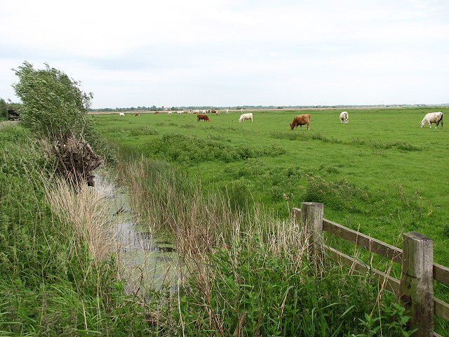
Decoy Carr, Norfolk, is a quaint woodland area located in the eastern region of England. Covering an area of approximately 200 acres, this forested haven is known for its picturesque beauty and diverse flora and fauna. Situated near the village of Woodton, Decoy Carr offers a peaceful retreat away from the hustle and bustle of urban life.

The woodland is characterized by its dense tree cover, primarily consisting of native broadleaf species such as oak, beech, and ash. These majestic trees provide a habitat for a wide range of wildlife, making the area popular among nature enthusiasts and birdwatchers. Visitors can spot various species of birds, including woodpeckers, owls, and finches, as well as small mammals like squirrels and foxes.

Decoy Carr also boasts a network of walking trails, allowing visitors to explore the forest and immerse themselves in its natural splendor. The trails wind through the woods, offering breathtaking views and opportunities for peaceful contemplation. The forest floor is carpeted with wildflowers during the summer months, creating a vibrant and colorful atmosphere.

The area is managed by a local conservation organization, ensuring the preservation of its natural beauty and biodiversity. They organize educational programs and guided tours to enhance visitors' understanding of the local ecosystem and promote environmental awareness.

In summary, Decoy Carr, Norfolk, is a serene woodland retreat that offers a tranquil escape into nature. With its diverse range of flora and fauna, scenic trails, and commitment to conservation, it is an ideal destination for nature lovers and those seeking solace in the great outdoors.

If you have any feedback on the listing, please let us know in the comments section below.
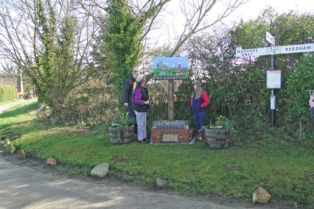
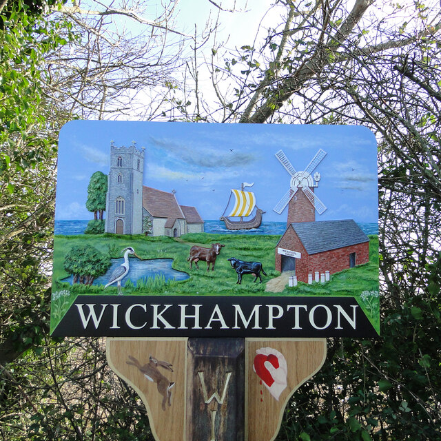
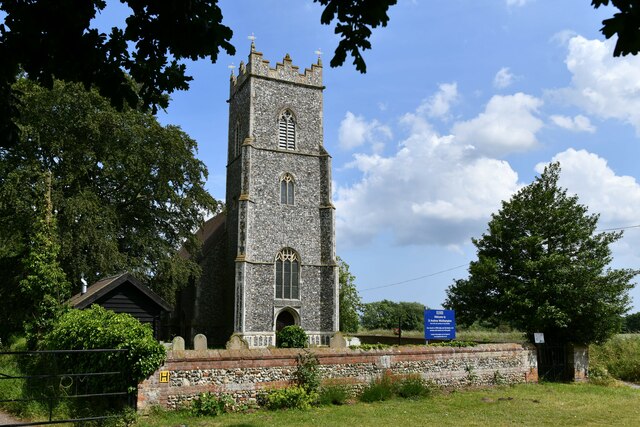
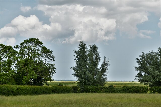
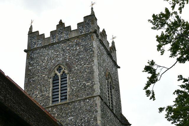
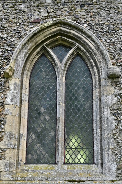
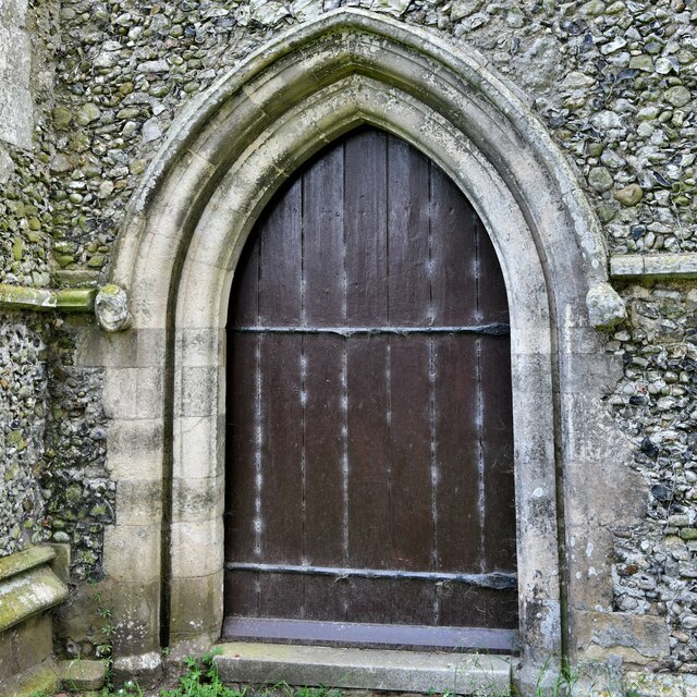
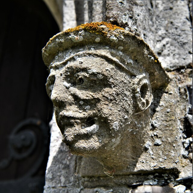
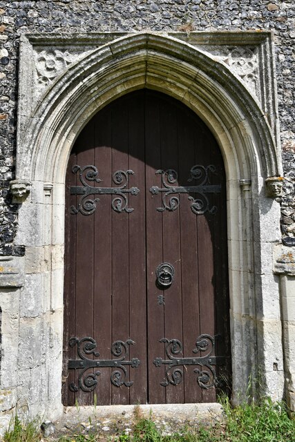
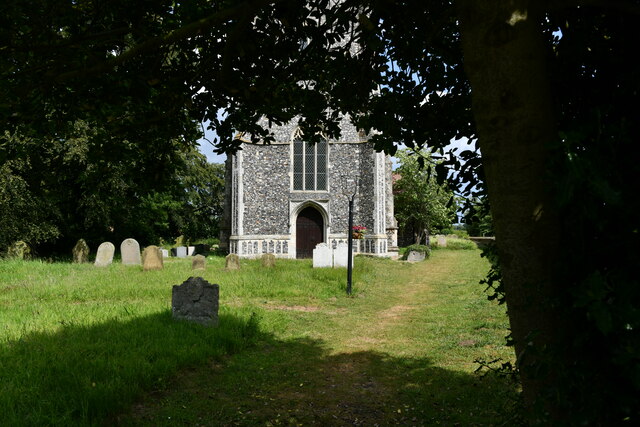
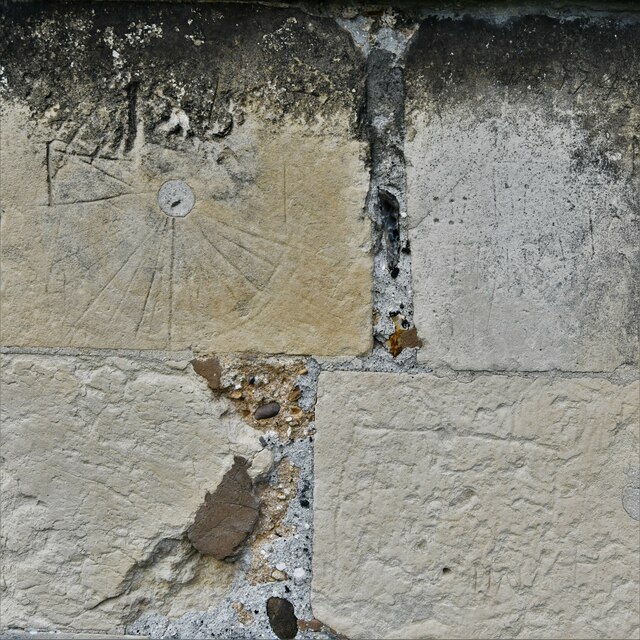
Decoy Carr Images

Images are sourced within 2km of 52.578083/1.5846856 or Grid Reference TG4203. Thanks to Geograph Open Source API. All images are credited.

The unveiling of Wickhampton's new village sign The sign is almost identical to the former sign, seen here <a title="https://www.geograph.org.uk/photo/4292552" href="https://www.geograph.org.uk/photo/4292552">Link</a>
With the exception of the hare in the left spandrel which can be found on the interior wall of the church.
The church of St Andrew dominates the left side of the picture with Stone’s mill dominating the right. Between them is probably a Viking longship on Breydon Water. Webster’s Dairy and two milk churns represent a family business, been and gone. A grey heron, a bird seen here daily completes the picture.
In the spandrel on the right is a hand holding a bleeding heart which related to the 13th century effigies of Sir George and Lady Isabella Gerbrygge. Sir George who served as a Bailiff of Great Yarmouth in the 1270s, is holding a heart in his hand. The truth behind why, is lost but it is likely that he is demonstrating his love for his wife and died of a broken heart.
More difficult to believe is the legend which grew over the intervening 700 years and it is said that two brothers owned neighbouring parishes. They argued so vehemently over the parish boundaries that they came to blows and in a rage, they tore each other's hearts out. One of the parishes was then called Hell Fire Gate, which over time became Halvergate. The other parish was henceforth known as Wicked Hampton, which over time became Wickhampton.
The unveiling of Wickhampton's new village sign
The sign is almost identical to the former sign, seen here Link With the exception of the hare in the left spandrel which can be found on the interior wall of the church. The church of St Andrew dominates the left side of the picture with Stone’s mill dominating the right. Between them is probably a Viking longship on Breydon Water. Webster’s Dairy and two milk churns represent a family business, been and gone. A grey heron, a bird seen here daily completes the picture. In the spandrel on the right is a hand holding a bleeding heart which related to the 13th century effigies of Sir George and Lady Isabella Gerbrygge. Sir George who served as a Bailiff of Great Yarmouth in the 1270s, is holding a heart in his hand. The truth behind why, is lost but it is likely that he is demonstrating his love for his wife and died of a broken heart. More difficult to believe is the legend which grew over the intervening 700 years and it is said that two brothers owned neighbouring parishes. They argued so vehemently over the parish boundaries that they came to blows and in a rage, they tore each other's hearts out. One of the parishes was then called Hell Fire Gate, which over time became Halvergate. The other parish was henceforth known as Wicked Hampton, which over time became Wickhampton.
Wickhampton's new village sign See also <a title="https://www.geograph.org.uk/photo/7105782" href="https://www.geograph.org.uk/photo/7105782">Link</a>
The sign is almost identical to the former sign, seen here <a title="https://www.geograph.org.uk/photo/4292552" href="https://www.geograph.org.uk/photo/4292552">Link</a> with the exception of the hare in the left spandrel which can be found on the interior wall of the church.
The church of St Andrew dominates the left side of the picture with Stone’s mill dominating the right. Between them is probably a Viking longship on Breydon Water. Webster’s Dairy and two milk churns represent a family business, been and gone. A grey heron, a bird seen here daily, completes the picture.
In the spandrel on the right is a hand holding a bleeding heart, which relates to the 13th century effigies of Sir George and Lady Isabella Gerbrygge. Sir George, who served as a Bailiff of Great Yarmouth in the 1270s, is holding a heart in his hand. The truth behind why, is lost but it is likely that he is demonstrating his love for his wife and having died of a broken heart.
More difficult to believe is the legend which grew over the intervening 700 years, it is said that two brothers owned neighbouring parishes. They argued so vehemently over the parish boundaries that they came to blows and in a rage, they tore each other's hearts out. One of the parishes was then called Hell Fire Gate, which over time became Halvergate. The other parish was henceforth known as Wicked Hampton, which over time became Wickhampton.
Wickhampton's new village sign
See also Link The sign is almost identical to the former sign, seen here Link with the exception of the hare in the left spandrel which can be found on the interior wall of the church. The church of St Andrew dominates the left side of the picture with Stone’s mill dominating the right. Between them is probably a Viking longship on Breydon Water. Webster’s Dairy and two milk churns represent a family business, been and gone. A grey heron, a bird seen here daily, completes the picture. In the spandrel on the right is a hand holding a bleeding heart, which relates to the 13th century effigies of Sir George and Lady Isabella Gerbrygge. Sir George, who served as a Bailiff of Great Yarmouth in the 1270s, is holding a heart in his hand. The truth behind why, is lost but it is likely that he is demonstrating his love for his wife and having died of a broken heart. More difficult to believe is the legend which grew over the intervening 700 years, it is said that two brothers owned neighbouring parishes. They argued so vehemently over the parish boundaries that they came to blows and in a rage, they tore each other's hearts out. One of the parishes was then called Hell Fire Gate, which over time became Halvergate. The other parish was henceforth known as Wicked Hampton, which over time became Wickhampton.
Wickhampton, St. Andrew's Church: Western aspect
Wickhampton, St. Andrew's Church: Looking east from the churchyard
Wickhampton, St. Andrew's Church: The tower
Wickhampton, St. Andrew's Church: North chancel window
Wickhampton, St. Andrew's Church: Dated graffiti on the north nave wall
Wickhampton, St. Andrew's Church: North doorway
Wickhampton, St. Andrew's Church: Head stop
Wickhampton, St. Andrew's Church: West tower doorway
Wickhampton, St. Andrew's Church: Western aspect
Wickhampton, St. Andrew's Church: Mass dial
Wickhampton, St. Andrew's Church: South window right head stop
Wickhampton, St. Andrew's Church: South window left head stop
Wickhampton, St. Andrew's Church: The altar
Wickhampton, St. Andrew's Church: The nave from the chancel
Wickhampton, St. Andrew's Church: The font
Wickhampton, St. Andrew's Church: Chest
Show me another place!

Decoy Carr is located at Grid Ref: TG4203 (Lat: 52.578083, Lng: 1.5846856)

Administrative County: Norfolk

District: Broadland

Police Authority: Norfolk

What 3 Words

///ruffling.pounce.grafted. Near Reedham, Norfolk

Nearby Locations

Decoy Carr Ashyard Carr

Related Wikis

Reedham railway station (Norfolk)

Reedham railway station is on the Wherry Lines in the East of England, serving the village of Reedham, Norfolk. It is 12 miles 13 chains (19.6 km) down...

Reedham, Norfolk

Reedham is a village and civil parish in the English county of Norfolk and within The Broads. It is on the north bank of the River Yare, 12 miles (19 km...

Reedham Swing Bridge

Reedham Swing Bridge, on the site of a Victorian swing bridge, is still in use at Reedham, Norfolk, England.It carries the Wherry railway line, between...

Halvergate Marshes

The Halvergate Marshes are an area of grazing marsh in the east of the English county of Norfolk. They form part of the area of The Broads and lie between...

Have you been to Decoy Carr?

Leave your review of Decoy Carr below (or comments, questions and feedback).