North Belt
Wood, Forest in Norfolk South Norfolk
England
North Belt
North Belt, Norfolk, also known as Wood or Forest, is a picturesque area located in the county of Norfolk, England. It is situated on the northern outskirts of Norfolk and offers a serene and tranquil environment for residents and visitors alike.
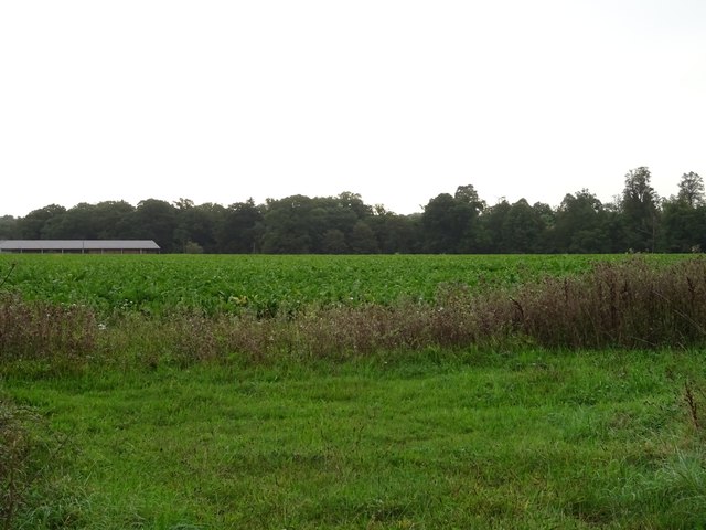
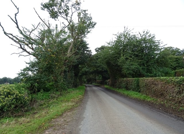
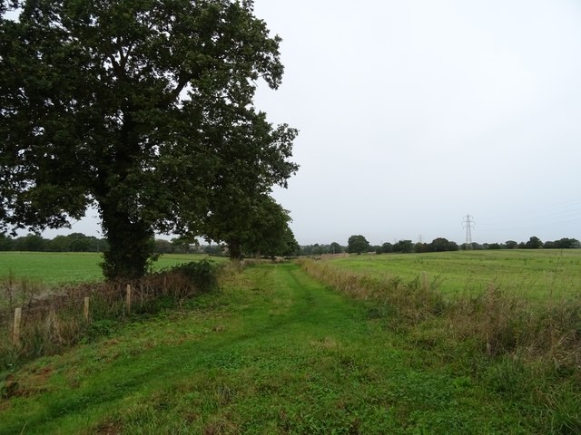
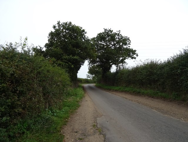
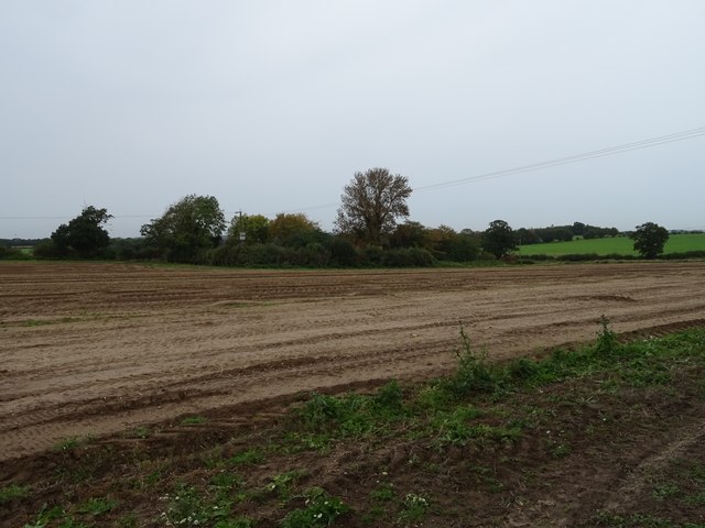
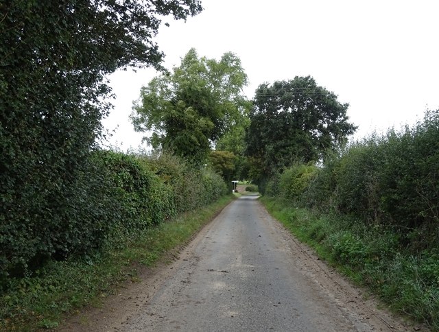
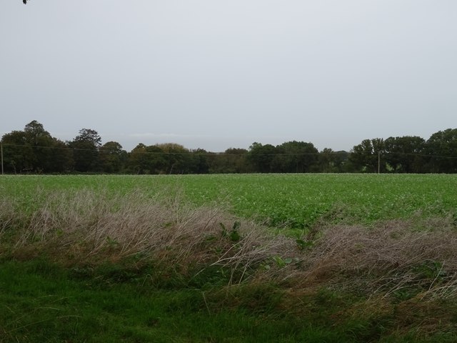
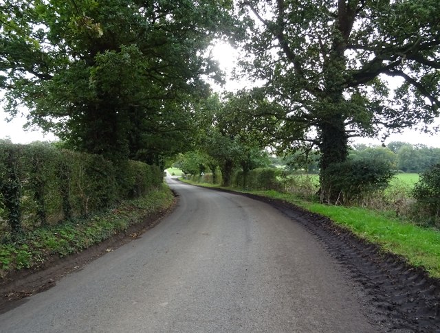
The area is characterized by its lush greenery, dense woodlands, and beautiful forests. It is a haven for nature lovers, providing ample opportunities for hiking, walking, and exploring the great outdoors. The landscape is dotted with numerous species of trees, including oak, beech, and pine, which contribute to the area's breathtaking natural beauty.
North Belt is home to a diverse range of wildlife, making it a popular spot for birdwatching and wildlife enthusiasts. The forests are inhabited by various species, such as deer, foxes, and rabbits, creating a thriving ecosystem.
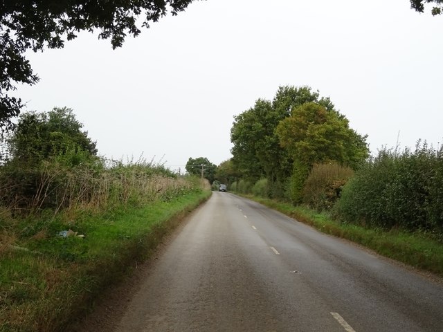
Despite its rural setting, North Belt is well-connected to the surrounding areas. It is conveniently located near major transportation routes, allowing for easy access to nearby towns and cities. The area also boasts a range of amenities and facilities, including schools, shops, and recreational spaces, ensuring that residents have all they need within reach.
The community in North Belt is close-knit and friendly, with a strong sense of pride in the area's natural beauty. The residents actively participate in preserving and maintaining the woodlands and forests, ensuring their longevity for future generations to enjoy.
In summary, North Belt, Norfolk (Wood, Forest) is a captivating area that offers a peaceful retreat from the hustle and bustle of everyday life. With its enchanting woodlands, abundant wildlife, and welcoming community, it is truly a hidden gem in the heart of Norfolk.
If you have any feedback on the listing, please let us know in the comments section below.
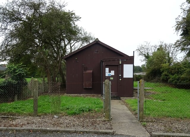
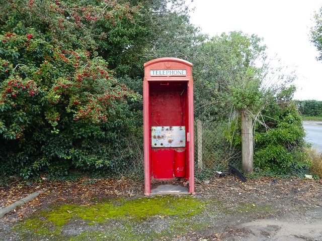
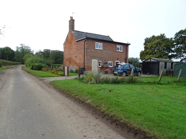
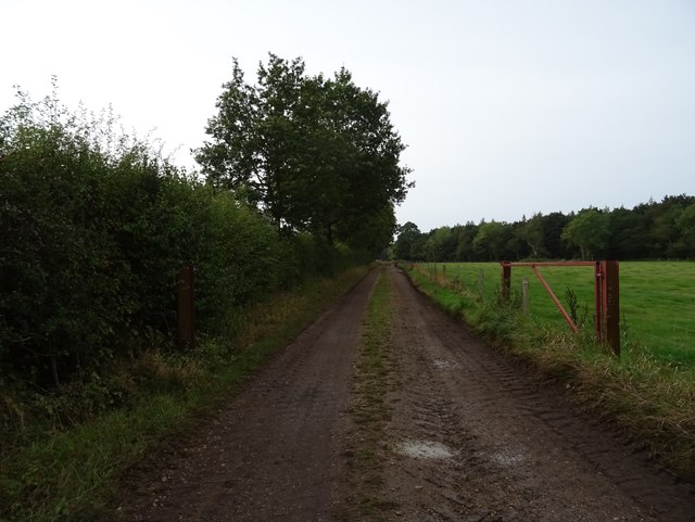
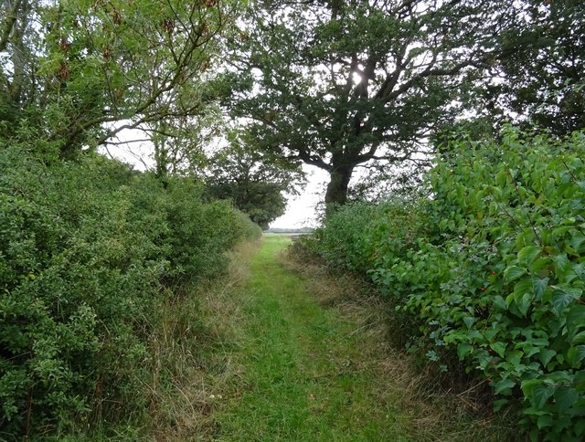
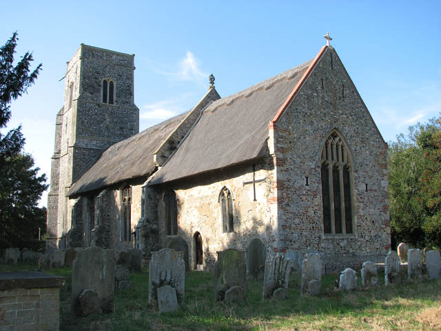
North Belt Images
Images are sourced within 2km of 52.52022/1.5381812 or Grid Reference TM4097. Thanks to Geograph Open Source API. All images are credited.


North Belt is located at Grid Ref: TM4097 (Lat: 52.52022, Lng: 1.5381812)
Administrative County: Norfolk
District: South Norfolk
Police Authority: Norfolk
What 3 Words
///sand.drizzly.pencils. Near Thurlton, Norfolk
Nearby Locations
Related Wikis

Raveningham
Raveningham (pronounced "Ran-ing'm") is a small village and parish in the county of Norfolk, England, about 13 miles (21 km) south-east of Norwich. It...

Raveningham Hall
Raveningham Hall is a country house in Norfolk, England, about 10 miles (16 km) south-east of Norwich. There are 10 acres of gardens, and it has a rural...
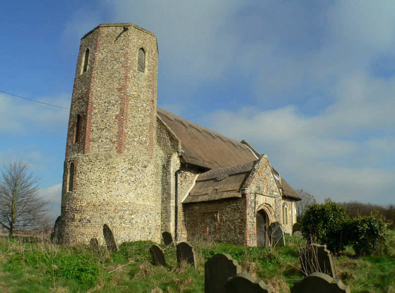
St Andrew's Church, Raveningham
St Andrew's Church is the parish church of Raveningham in Norfolk, England, and in the Diocese of Norwich. It is a round-tower church, dating mostly from...

Norton Subcourse
Norton Subcourse is a small village and parish in the county of Norfolk, England, about 9 miles (14 km) south-west of Great Yarmouth. It covers an area...
Thurlton
Thurlton is a small village in South Norfolk, located 14 miles (22 km) south-east of the city of Norwich, and 9 miles (15 km) west of the Suffolk coastal...

Hales
Hales is a small village in Norfolk, England. It covers an area of 3.99 km2 (1.54 sq mi) and had a population of 479 in 192 households as of the 2001 census...
St Margaret's Church, Hales
St Margaret's Church is a redundant Anglican church in the village of Hales, Norfolk, England. It is recorded in the National Heritage List for England...
Heckingham
Heckingham is a small village and parish in the county of Norfolk, England, about a mile east of Loddon. It covers an area of 4.46 km2 (1.72 sq mi) and...
Nearby Amenities
Located within 500m of 52.52022,1.5381812Have you been to North Belt?
Leave your review of North Belt below (or comments, questions and feedback).