Craft Plantation
Wood, Forest in Norfolk South Norfolk
England
Craft Plantation
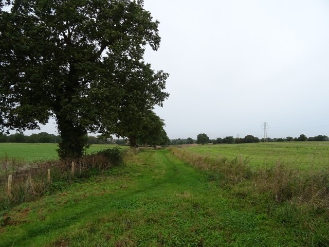
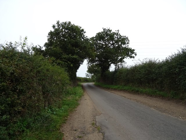
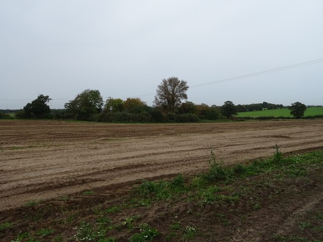
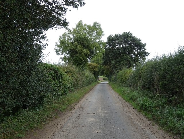
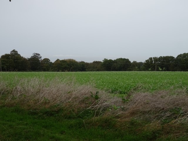
Craft Plantation, located in Norfolk, is a captivating wood and forest area renowned for its natural beauty and rich history. Spanning over a vast expanse of land, this plantation offers visitors a unique experience, immersing them in the tranquil ambiance of a pristine woodland.
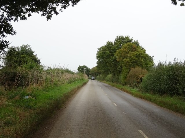
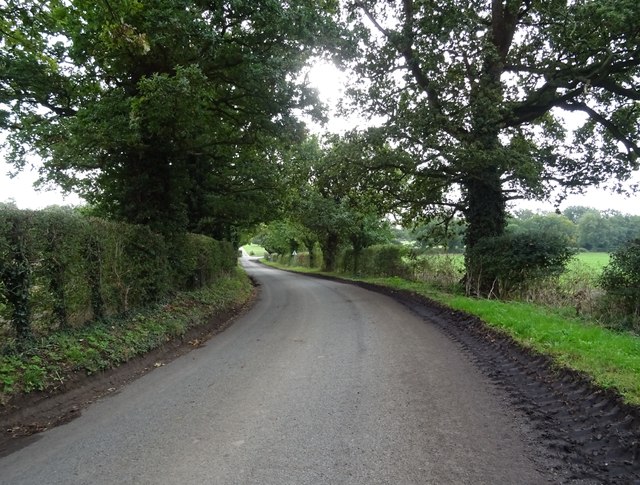
The plantation boasts a diverse range of flora and fauna, with towering trees creating a lush canopy overhead. Walking trails wind through the forest, allowing visitors to explore the enchanting surroundings and take in the breathtaking views. The air is filled with the soothing sounds of birds chirping and leaves rustling in the wind, creating a serene atmosphere that is perfect for relaxation and introspection.
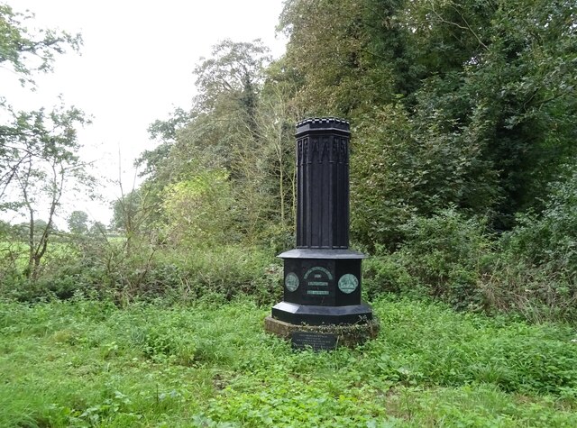
Craft Plantation is also steeped in history, with evidence of its past prominently displayed throughout the area. Historical markers provide information about the plantation's significance, such as its role in the agricultural industry or its connection to notable figures. This adds an educational element to the visit, allowing visitors to gain a deeper understanding of the region's heritage.
Additionally, the plantation offers various recreational activities for visitors to enjoy. Picnic areas are scattered throughout, providing a perfect spot for families and friends to gather and enjoy a meal amidst the picturesque backdrop. There are also opportunities for hiking, birdwatching, and photography, catering to the interests of nature enthusiasts and outdoor adventurers.
Overall, Craft Plantation in Norfolk offers a peaceful escape from the hustle and bustle of city life. Whether visitors seek solace in nature, desire to learn about local history, or simply want to engage in outdoor activities, this wood and forest area provides a memorable experience for all who venture within its boundaries.
If you have any feedback on the listing, please let us know in the comments section below.
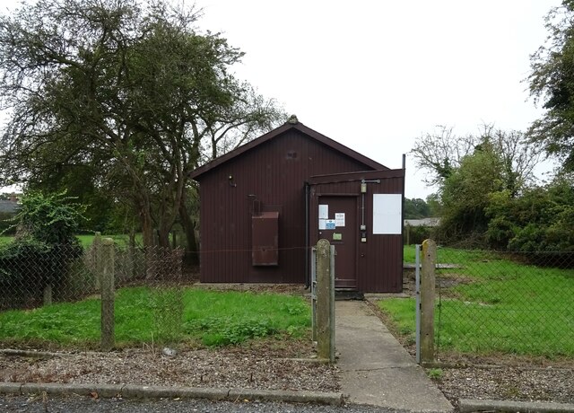
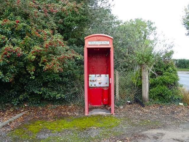
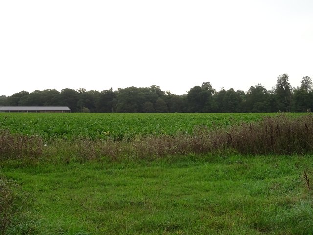
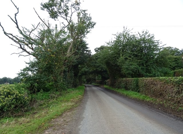
Craft Plantation Images
Images are sourced within 2km of 52.524957/1.5379872 or Grid Reference TM4097. Thanks to Geograph Open Source API. All images are credited.


Craft Plantation is located at Grid Ref: TM4097 (Lat: 52.524957, Lng: 1.5379872)
Administrative County: Norfolk
District: South Norfolk
Police Authority: Norfolk
What 3 Words
///brochure.alternate.vintages. Near Thurlton, Norfolk
Nearby Locations
Related Wikis

Raveningham
Raveningham (pronounced "Ran-ing'm") is a small village and parish in the county of Norfolk, England, about 13 miles (21 km) south-east of Norwich. It...

Raveningham Hall
Raveningham Hall is a country house in Norfolk, England, about 10 miles (16 km) south-east of Norwich. There are 10 acres of gardens, and it has a rural...
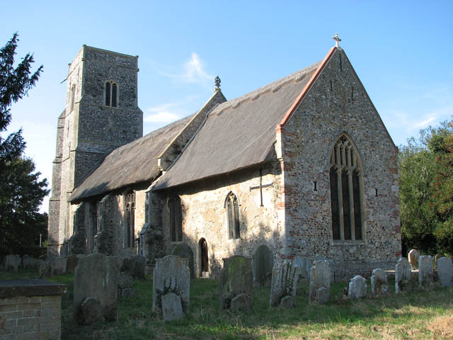
St Andrew's Church, Raveningham
St Andrew's Church is the parish church of Raveningham in Norfolk, England, and in the Diocese of Norwich. It is a round-tower church, dating mostly from...

Norton Subcourse
Norton Subcourse is a small village and parish in the county of Norfolk, England, about 9 miles (14 km) south-west of Great Yarmouth. It covers an area...
Thurlton
Thurlton is a small village in South Norfolk, located 14 miles (22 km) south-east of the city of Norwich, and 9 miles (15 km) west of the Suffolk coastal...
Heckingham
Heckingham is a small village and parish in the county of Norfolk, England, about a mile east of Loddon. It covers an area of 4.46 km2 (1.72 sq mi) and...

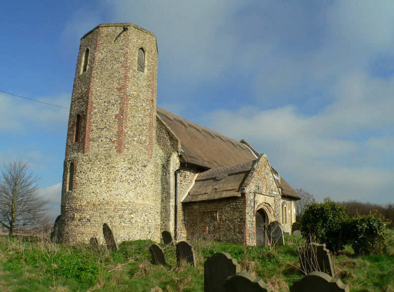
St Gregory's Church, Heckingham
St Gregory's Church is a redundant Anglican church in the village of Heckingham, Norfolk, England. It is recorded in the National Heritage List for England...

Hales
Hales is a small village in Norfolk, England. It covers an area of 3.99 km2 (1.54 sq mi) and had a population of 479 in 192 households as of the 2001 census...
Nearby Amenities
Located within 500m of 52.524957,1.5379872Have you been to Craft Plantation?
Leave your review of Craft Plantation below (or comments, questions and feedback).