Brick Kiln Plantation

Wood, Forest in Norfolk South Norfolk

England

Brick Kiln Plantation

River Waveney
River Waveney Credit: Matthew Chadwick

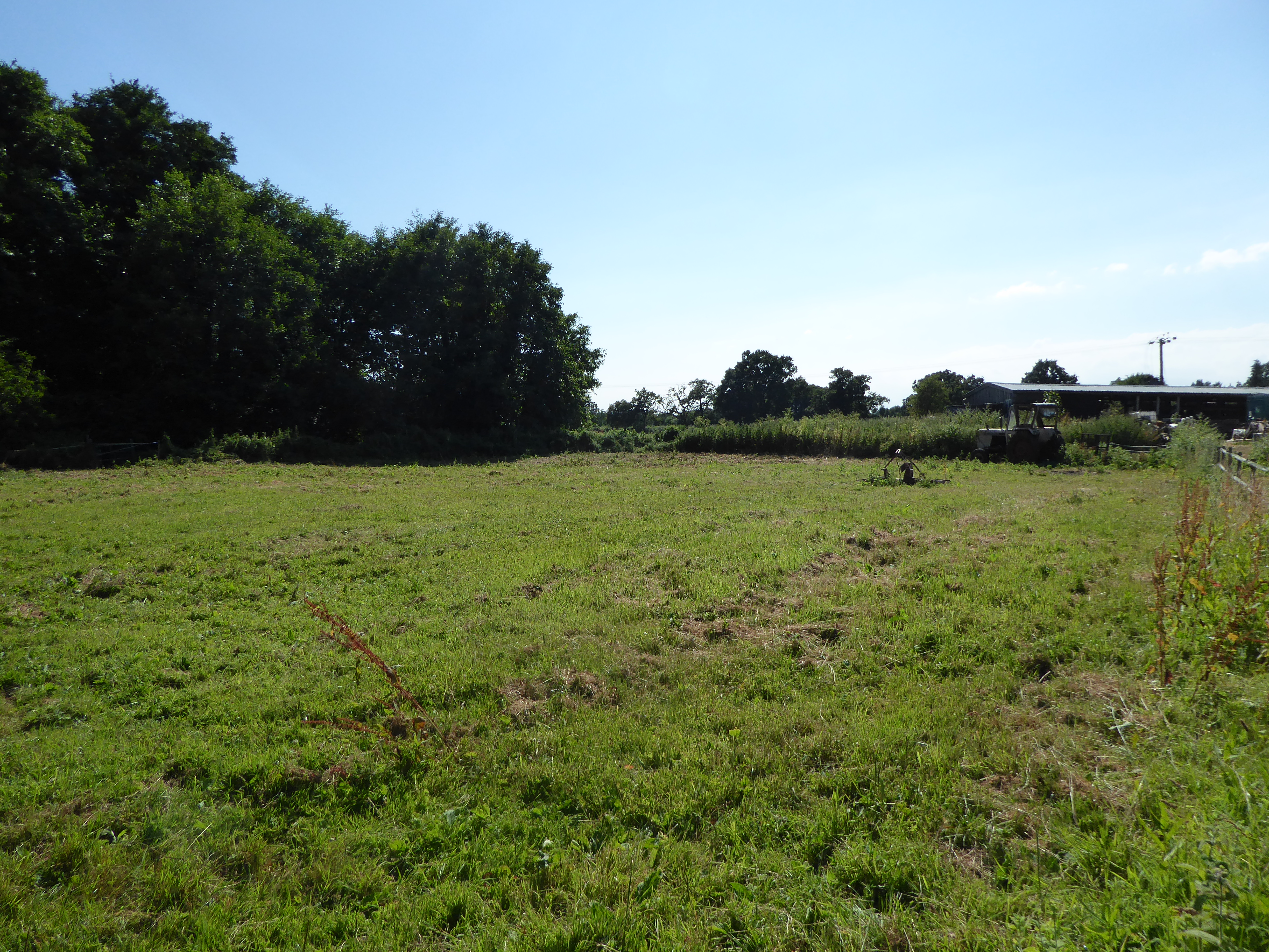
Brick Kiln Plantation, located in Norfolk, England, is a picturesque wood and forest area that covers approximately 500 acres of land. It is a designated Site of Special Scientific Interest (SSSI), recognized for its rich biodiversity and unique ecosystem.

The plantation is predominantly composed of ancient woodland, characterized by a diverse array of tree species, including oak, beech, ash, and birch. These trees provide a dense canopy, creating a tranquil and shaded environment within the forest. Underneath the towering trees, there is an abundance of plant life, such as bluebells, wild garlic, and ferns, creating a colorful and vibrant understorey.

The woodland is home to a wide range of wildlife, making it a haven for nature enthusiasts. Visitors to Brick Kiln Plantation may be lucky enough to spot deer, foxes, badgers, and a variety of bird species, including woodpeckers, owls, and songbirds. The forest also supports a diverse insect population, attracting butterflies, bees, and dragonflies.

The plantation offers several walking trails and paths, allowing visitors to explore the natural beauty of the area. These trails wind through the forest, providing opportunities for peaceful walks, birdwatching, and photography. Additionally, there are picnic areas and benches scattered throughout the site, providing visitors with a chance to relax and enjoy the tranquil surroundings.

Brick Kiln Plantation, with its ancient woodland, diverse wildlife, and well-maintained trails, offers a serene escape from the hustle and bustle of daily life. It is a place where visitors can connect with nature, immerse themselves in its beauty, and appreciate the importance of preserving such valuable ecosystems.

If you have any feedback on the listing, please let us know in the comments section below.

Brick Kiln Plantation Images

Images are sourced within 2km of 52.477621/1.5313123 or Grid Reference TM3992. Thanks to Geograph Open Source API. All images are credited.

River Waveney
River Waveney
The Wherry Inn
The Wherry Inn
River Waveney
River Waveney
The Locks Inn
The Locks Inn
A143 east approaching junction with A146
The former railway line from the crossing Looking east from the Geldeston crossing.
The former railway line from the crossing
Looking east from the Geldeston crossing.
A single parapet of a former bridge across a tributary The rest of the bridge has been dismantled to benefit the passage of river-craft
A single parapet of a former bridge across a tributary
The rest of the bridge has been dismantled to benefit the passage of river-craft
The former station house at Geldeston The building is a private residence and has an extension on the west end, but retains the Italianate style of the Waveney Valley Railway buildings.
The former Goods Shed can be seen in the background which has been given a pent roof extension on its east end.
The station was 16½ miles from Tivetshall 2½ miles from Beccles. The platform was 110 yards long. A 200 yard long siding fed into the goods shed which contained a 1 ton crane for unloading and loading. The signal box stood to the north of the track by the crossing gates and a crossing keepers hut on the south side of the single track. The station was closed to all traffic in 1915 as a war economy measure but reopened in 1919. Passenger services were withdrawn in July 1954 but freight services continued until July 1964.
The former station house at Geldeston
The building is a private residence and has an extension on the west end, but retains the Italianate style of the Waveney Valley Railway buildings. The former Goods Shed can be seen in the background which has been given a pent roof extension on its east end. The station was 16½ miles from Tivetshall 2½ miles from Beccles. The platform was 110 yards long. A 200 yard long siding fed into the goods shed which contained a 1 ton crane for unloading and loading. The signal box stood to the north of the track by the crossing gates and a crossing keepers hut on the south side of the single track. The station was closed to all traffic in 1915 as a war economy measure but reopened in 1919. Passenger services were withdrawn in July 1954 but freight services continued until July 1964.
The former Goods Shed at Geldeston station A pent roof extension has been added to this end of the building. A railway line once ran through the building which had a large sliding door each end. Inside the goods were stored on a wooden deck at the same height as the floor of the wagons and a 1 ton crane facilitated unloading and loading the heavier items. A wire netting cage protected the sacks of grain and other perishable goods from vermin.
The former Goods Shed at Geldeston station
A pent roof extension has been added to this end of the building. A railway line once ran through the building which had a large sliding door each end. Inside the goods were stored on a wooden deck at the same height as the floor of the wagons and a 1 ton crane facilitated unloading and loading the heavier items. A wire netting cage protected the sacks of grain and other perishable goods from vermin.
Site of the former level crossing #86 at Geldeston The five bar gate marks the line of the former railway. The signal box stood on this corner where the hedge is in the foreground.
Site of the former level crossing #86 at Geldeston
The five bar gate marks the line of the former railway. The signal box stood on this corner where the hedge is in the foreground.
Stockton, St Michael & All Angels
Kells Way, Geldeston One of several distinctive and thoughtful council housing projects by Herbert Tayler & David Green for Loddon District Council. Built 1947-51.
Kells Way, Geldeston
One of several distinctive and thoughtful council housing projects by Herbert Tayler & David Green for Loddon District Council. Built 1947-51.
Serpentine wall in Geldeston Street The curtain wall shields The Old House from the road.
Unusually the wall is buttressed and continues at right-angles for a few yards close to the viewer
Serpentine wall in Geldeston Street
The curtain wall shields The Old House from the road. Unusually the wall is buttressed and continues at right-angles for a few yards close to the viewer
River Waveney The River Waveney forms the boundary between Suffolk and Norfolk. It rises at Redgrave Fen and flows in an easterly direction though the towns of Diss, Bungay (the head of navigation) and Beccles. There is a weir at Billingford, shortly after the River Dove, flowing northwards from Eye, joins the Waveney on the southern bank. The Waveney passes round Bungay and on to Beccles. Having skirted past Oulton Broad it passes through Somerleyton and Hadiscoe before merging with the Yare in Breydon Water.
River Waveney
The River Waveney forms the boundary between Suffolk and Norfolk. It rises at Redgrave Fen and flows in an easterly direction though the towns of Diss, Bungay (the head of navigation) and Beccles. There is a weir at Billingford, shortly after the River Dove, flowing northwards from Eye, joins the Waveney on the southern bank. The Waveney passes round Bungay and on to Beccles. Having skirted past Oulton Broad it passes through Somerleyton and Hadiscoe before merging with the Yare in Breydon Water.
Pylon by River Waveney
River Waveney The River Waveney forms the boundary between Suffolk and Norfolk. It rises at Redgrave Fen and flows in an easterly direction though the towns of Diss, Bungay (the head of navigation) and Beccles. There is a weir at Billingford, shortly after the River Dove, flowing northwards from Eye, joins the Waveney on the southern bank. The Waveney passes round Bungay and on to Beccles. Having skirted past Oulton Broad it passes through Somerleyton and Hadiscoe before merging with the Yare in Breydon Water.
River Waveney
The River Waveney forms the boundary between Suffolk and Norfolk. It rises at Redgrave Fen and flows in an easterly direction though the towns of Diss, Bungay (the head of navigation) and Beccles. There is a weir at Billingford, shortly after the River Dove, flowing northwards from Eye, joins the Waveney on the southern bank. The Waveney passes round Bungay and on to Beccles. Having skirted past Oulton Broad it passes through Somerleyton and Hadiscoe before merging with the Yare in Breydon Water.
Show me another place!

Brick Kiln Plantation is located at Grid Ref: TM3992 (Lat: 52.477621, Lng: 1.5313123)

Administrative County: Norfolk

District: South Norfolk

Police Authority: Norfolk

What 3 Words

///rugs.troubles.notifying. Near Beccles, Suffolk

Related Wikis

Haughey Air AgustaWestland AW139 crash

On 13 March 2014, an AgustaWestland AW139 helicopter of Haughey Air crashed shortly after taking off at night in fog from Gillingham, Norfolk, United Kingdom...

Geldeston Meadows

Geldeston Meadows is a 14-hectare (35-acre) biological Site of Special Scientific Interest near Geldeston in Norfolk. It is part of the Broadland Ramsar...
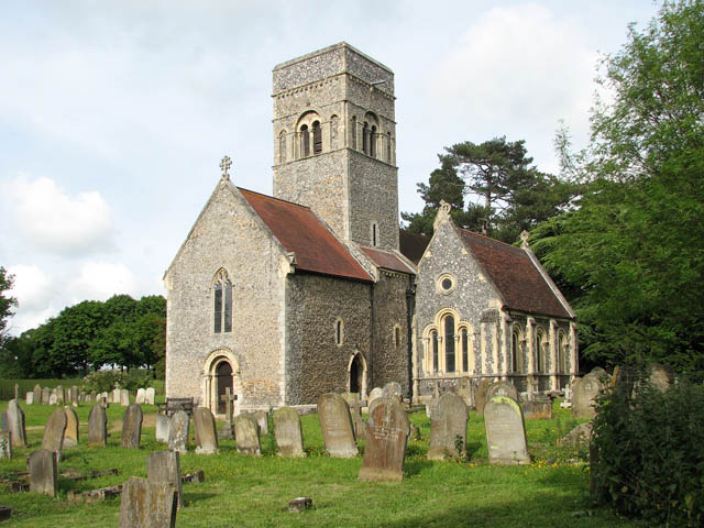
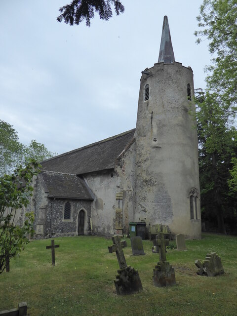
Gillingham, Norfolk

Gillingham ( GHIL-ing-əm) is a small village and civil parish in the English county of Norfolk. The villages is located 1.5 miles (2.4 km) north-west...

Geldeston

Geldeston is a village and civil parish in the English county of Norfolk. The village is located 2.5 miles (4.0 km) north-west of Beccles and 14 miles...
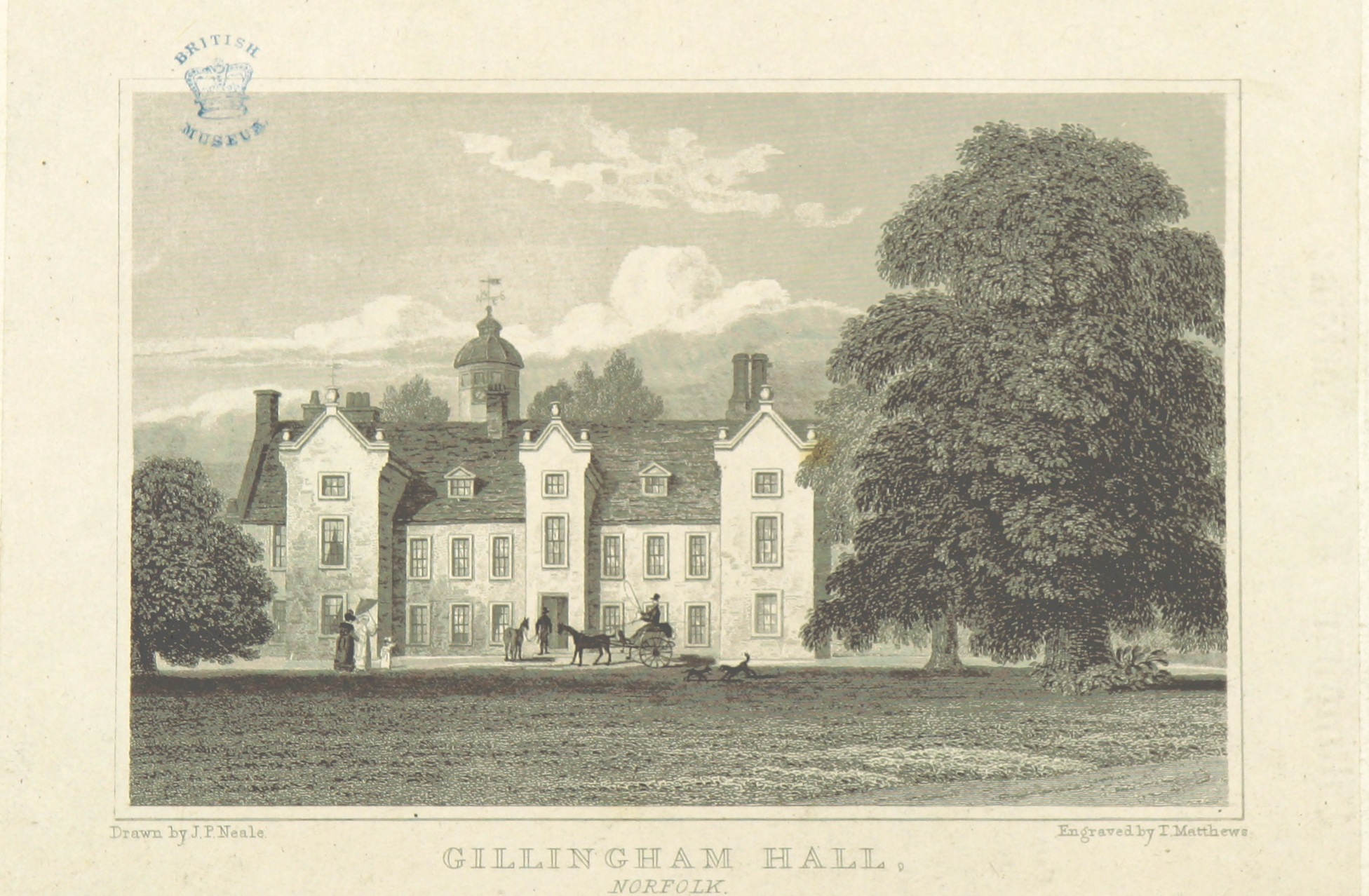
Gillingham Hall

Gillingham Hall is a Jacobean manor house in the village of Gillingham, Norfolk, England. It is a Grade II* Listed Building.The house has 10-bedrooms and...

Geldeston railway station

Geldeston (also Geldeston Halt) was a station on the Waveney Valley Line serving the village of Geldeston, Norfolk. It was operational for passenger services...

Stockton, Norfolk

Stockton is a small village in Norfolk, England near the A146, just over 2 miles from Beccles. It covers an area of 3.65 km2 (1.41 sq mi) and had a population...

Leet Hill, Kirby Cane

Leet Hill, Kirby Cane is a 6.5-hectare (16-acre) geological Site of Special Scientific Interest in Kirby Cane in Norfolk. It is a Geological Conservation...

Nearby Amenities

Located within 500m of 52.477621,1.5313123
Barrier: kissing_gate
Bicycle: no
Foot: yes
Lat/Long: 52.4759023/1.525707
Crossing: informal
Lat/Long: 52.4759578/1.5257509
Power: tower
Lat/Long: 52.4781157/1.5369481
Power: tower
Lat/Long: 52.4763596/1.5356519
Power: tower
Lat/Long: 52.4741531/1.5340419
Barrier: stile
Foot: yes
Note: Stile now broken, gap through fence.
Lat/Long: 52.4801354/1.5315171
Barrier: cattle_grid
Lat/Long: 52.476053/1.5259175
Entrance: main
Lat/Long: 52.4758508/1.524799
Power: pole
Transformer: distribution
Lat/Long: 52.4774907/1.528717
Power: pole
Lat/Long: 52.4775888/1.5274322
Power: pole
Lat/Long: 52.4776541/1.5264693
Power: pole
Lat/Long: 52.4777293/1.5253937
Power: pole
Lat/Long: 52.4778551/1.5246293
Waste Basket
Lat/Long: 52.4759514/1.5257679
The data included in this document is from www.openstreetmap.org. The data is made available under ODbL.

Have you been to Brick Kiln Plantation?

Leave your review of Brick Kiln Plantation below (or comments, questions and feedback).