Tunstall Forest
Wood, Forest in Suffolk East Suffolk
England
Tunstall Forest

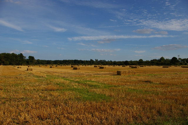
Tunstall Forest is a picturesque woodland located in Suffolk, England. Covering an area of approximately 1,200 hectares, it is one of the largest areas of woodland in the county. The forest is situated near the village of Tunstall, hence its name, and is easily accessible to both locals and tourists.
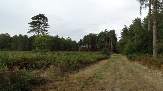
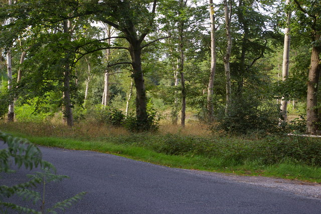
The forest is predominantly composed of a mix of coniferous and broadleaf trees, creating a diverse and beautiful landscape. The variety of tree species found here includes oak, birch, pine, and beech, among others. These trees provide a rich habitat for a wide range of flora and fauna.
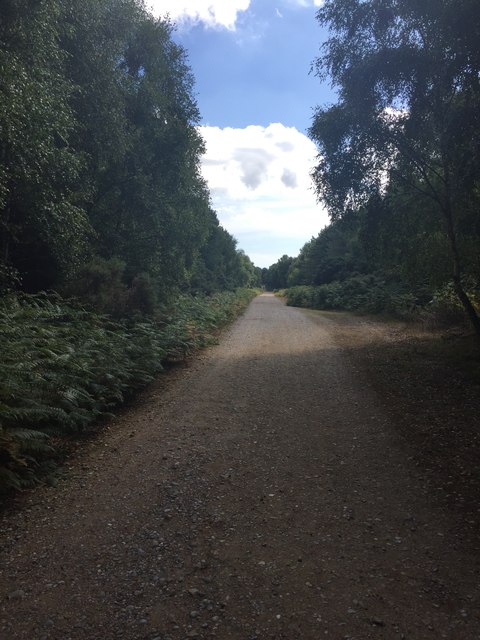
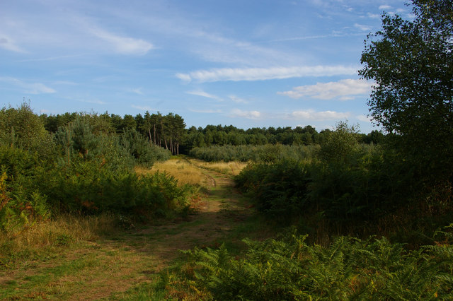
Tunstall Forest is renowned for its network of trails and paths, making it a popular destination for walkers, hikers, and cyclists. Visitors can explore the forest on foot or by bike, immersing themselves in the tranquil surroundings and enjoying the fresh air. The diverse terrain offers something for everyone, from gentle strolls to more challenging routes.
Wildlife enthusiasts will also be delighted by Tunstall Forest's abundant wildlife. The forest is home to various bird species, including woodpeckers, owls, and buzzards. Additionally, it provides a habitat for mammals such as deer, squirrels, and badgers. The forest's ponds and streams are also home to a variety of aquatic creatures, such as frogs and dragonflies.
Overall, Tunstall Forest is a natural gem in Suffolk, offering visitors a chance to escape the hustle and bustle of everyday life and connect with nature. Its stunning landscape, diverse flora and fauna, and numerous recreational opportunities make it a must-visit destination for outdoor enthusiasts.
If you have any feedback on the listing, please let us know in the comments section below.
Tunstall Forest Images
Images are sourced within 2km of 52.130252/1.503592 or Grid Reference TM3953. Thanks to Geograph Open Source API. All images are credited.


Tunstall Forest is located at Grid Ref: TM3953 (Lat: 52.130252, Lng: 1.503592)
Administrative County: Suffolk
District: East Suffolk
Police Authority: Suffolk
What 3 Words
///webcams.landings.grants. Near Rendlesham, Suffolk
Nearby Locations
Related Wikis

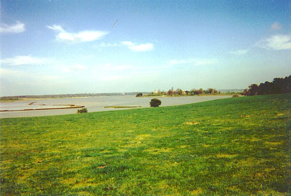
Sudbourne
Sudbourne is a village and civil parish in Suffolk, England, located approximately 2 miles (3 km) north of Orford. All Saints' Church dates from the 14th...

Iken
Iken is a small village and civil parish in the sandlands of the English county of Suffolk, an area formerly of heathland and sheep pasture. It is near...
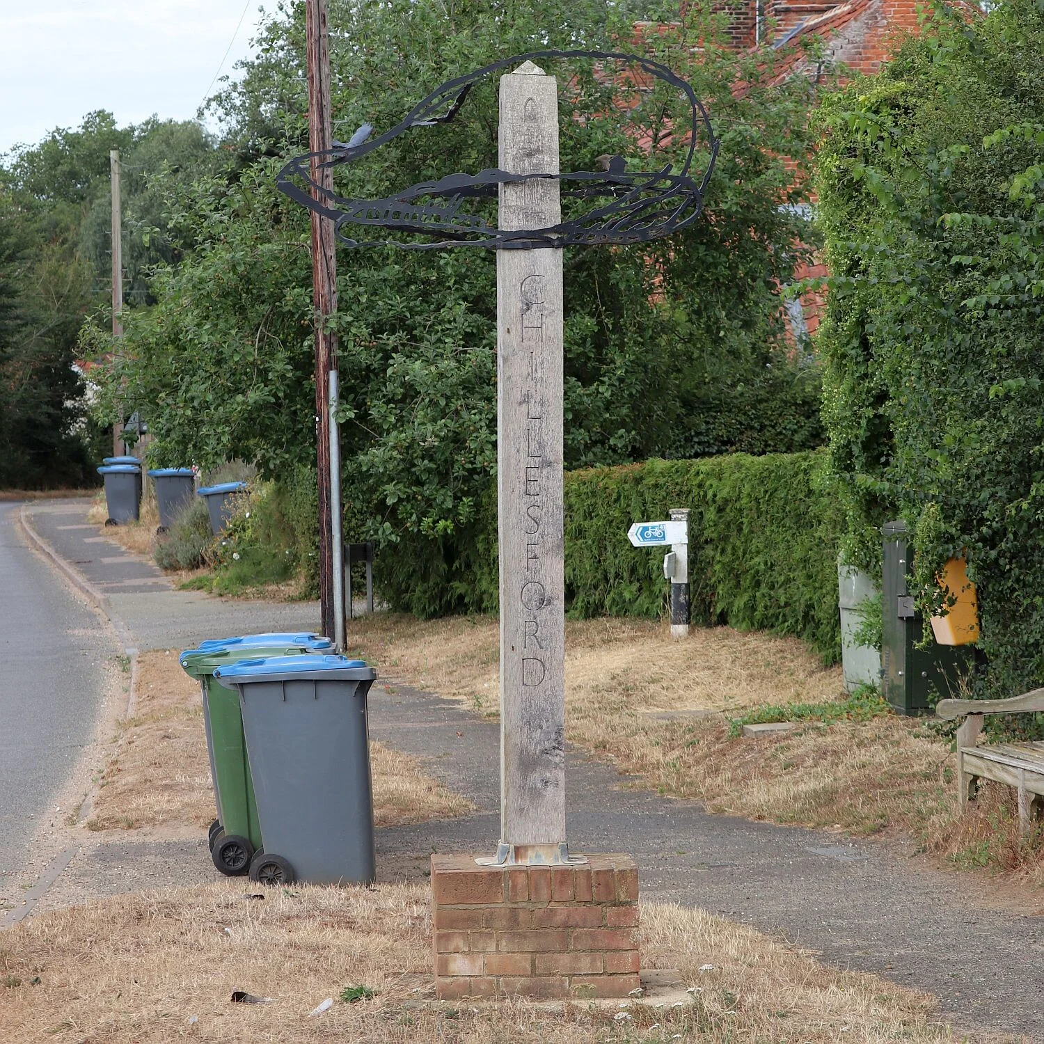
Chillesford
Chillesford is a village and civil parish in the East Suffolk district, in the English county of Suffolk. It is located on the B1084 road which runs east...
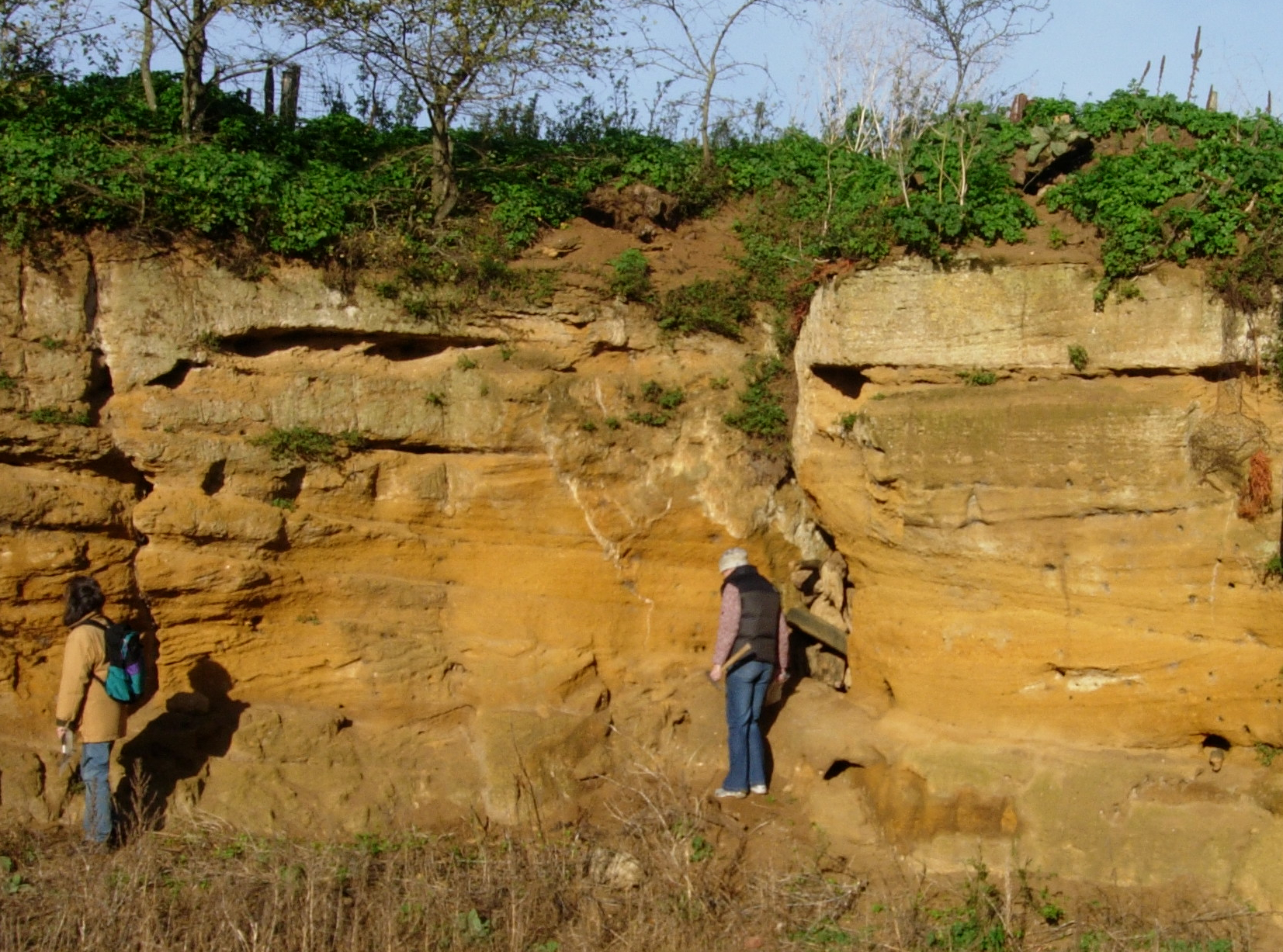
Coralline Crag Formation
The Coralline Crag Formation is a geological formation in England. It is a series of marine deposits found near the North Sea coast of Suffolk and characterised...
Nearby Amenities
Located within 500m of 52.130252,1.503592Have you been to Tunstall Forest?
Leave your review of Tunstall Forest below (or comments, questions and feedback).