Chediston Wood
Wood, Forest in Suffolk East Suffolk
England
Chediston Wood
Chediston Wood is a picturesque woodland located in the county of Suffolk, England. Covering an area of approximately 15 hectares, the wood is situated in the parish of Chediston, near the small village of Halesworth. It is renowned for its natural beauty and diverse range of flora and fauna.
The wood is primarily composed of native broadleaf trees, such as oak, beech, and ash, which create a dense canopy overhead, providing shade and shelter for the woodland floor below. The ground is covered in a thick carpet of moss, ferns, and wildflowers, creating a vibrant and enchanting atmosphere.
Chediston Wood is home to a variety of wildlife, making it a haven for nature enthusiasts and wildlife watchers. Visitors may catch a glimpse of deer, foxes, badgers, and a multitude of bird species, including woodpeckers, owls, and songbirds. The wood is also home to several rare and protected species, such as the dormouse and the purple emperor butterfly.
The wood is crisscrossed by a network of walking paths, allowing visitors to explore and enjoy its natural wonders. It is a popular destination for hikers, dog walkers, and families seeking a tranquil escape from the hustle and bustle of everyday life. The dense foliage and peaceful ambiance make it an ideal location for those looking to reconnect with nature and find solace in the great outdoors.
Overall, Chediston Wood is a treasured natural asset in Suffolk, offering a delightful blend of scenic beauty, biodiversity, and recreational opportunities for both locals and visitors alike.
If you have any feedback on the listing, please let us know in the comments section below.
Chediston Wood Images
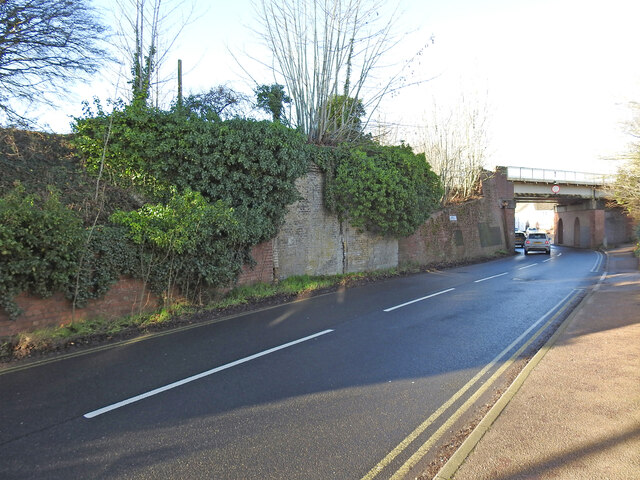
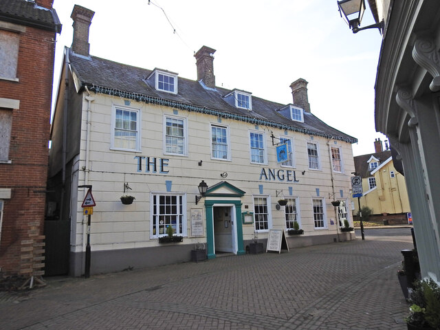
Images are sourced within 2km of 52.346407/1.4808588 or Grid Reference TM3777. Thanks to Geograph Open Source API. All images are credited.


Chediston Wood is located at Grid Ref: TM3777 (Lat: 52.346407, Lng: 1.4808588)
Administrative County: Suffolk
District: East Suffolk
Police Authority: Suffolk
What 3 Words
///relieves.eggs.fraction. Near Halesworth, Suffolk
Nearby Locations
Related Wikis
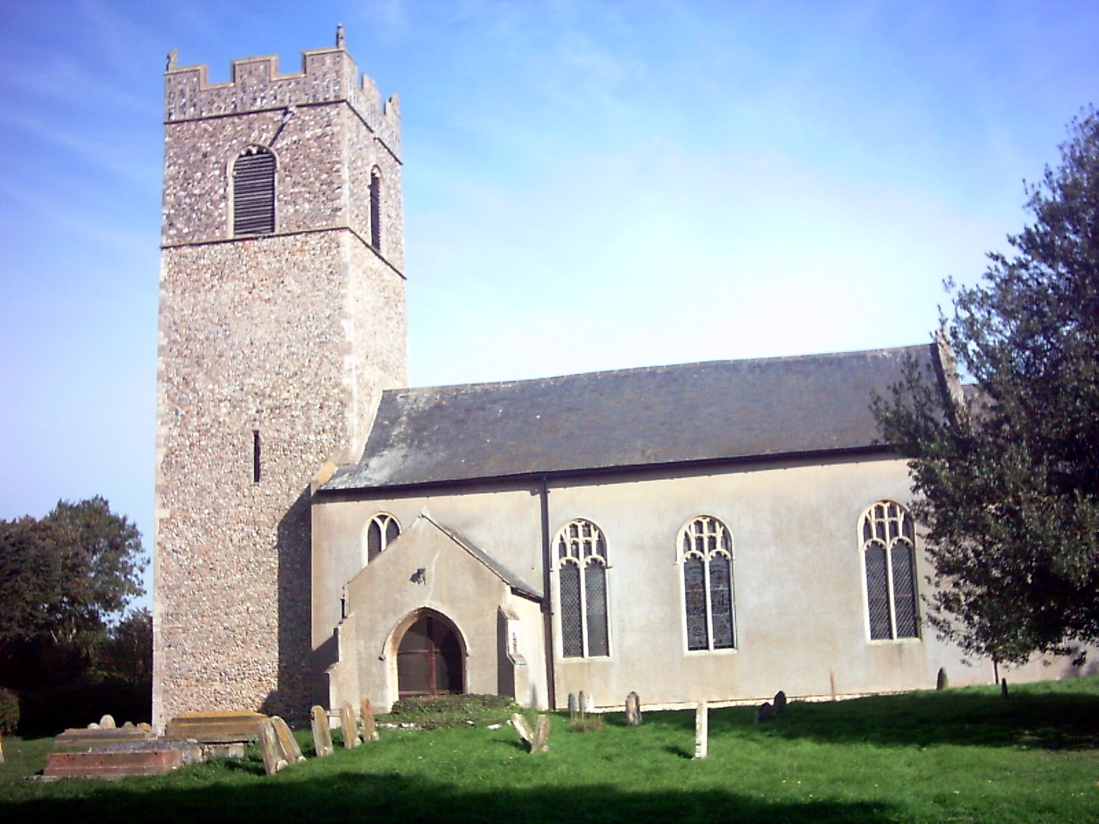
Chediston
Chediston is a village and a civil parish on the B1123 road, in the East Suffolk district, in the English county of Suffolk. It is located 2 miles west...

The Cut (theatre)
The Cut Arts Centre is a theatre in the Suffolk town of Halesworth. It is a centre for arts in the community and offers music, theatre, dance, comedy,...
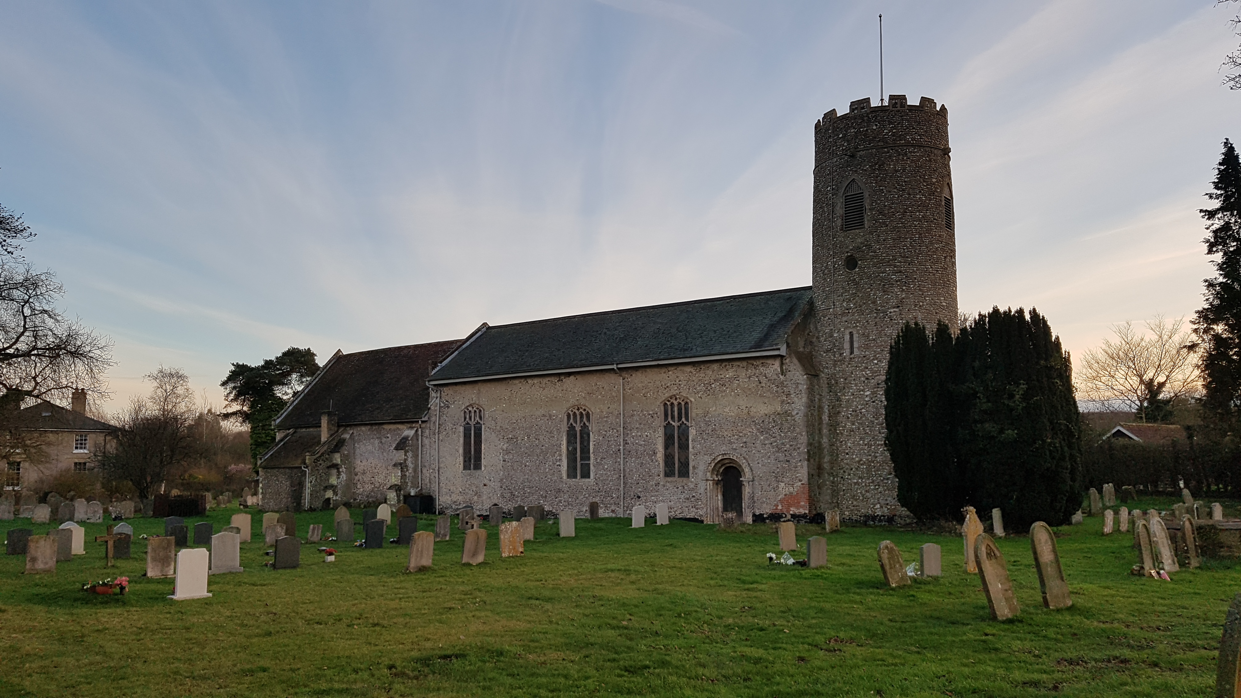
Wissett
Wissett is a village and civil parish in the English county of Suffolk. It is 2 miles (3.2 km) north-east of the market town of Halesworth in the East...
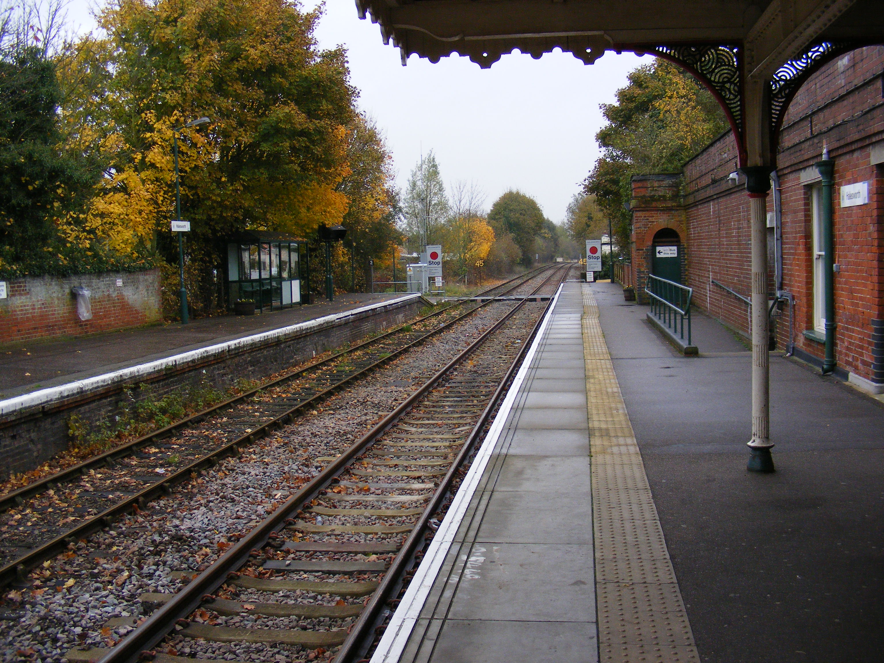
Halesworth railway station
Halesworth railway station is on the East Suffolk Line in the east of England, serving the town of Halesworth, Suffolk. It is also the nearest station...
Nearby Amenities
Located within 500m of 52.346407,1.4808588Have you been to Chediston Wood?
Leave your review of Chediston Wood below (or comments, questions and feedback).