Belt Plantation
Wood, Forest in Norfolk Broadland
England
Belt Plantation
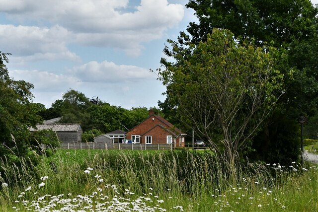
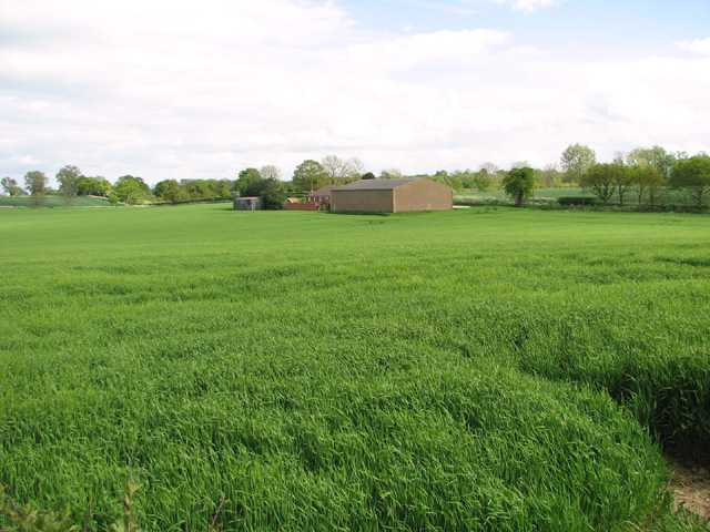
Belt Plantation is located in Norfolk, a county in the East of England. Situated within a picturesque wood and forest area, it is a beautiful and serene destination for nature enthusiasts and those seeking tranquility. Spanning over a vast area, Belt Plantation is known for its lush greenery, dense woodland, and diverse range of plant species.
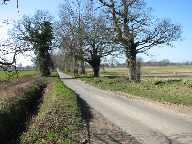
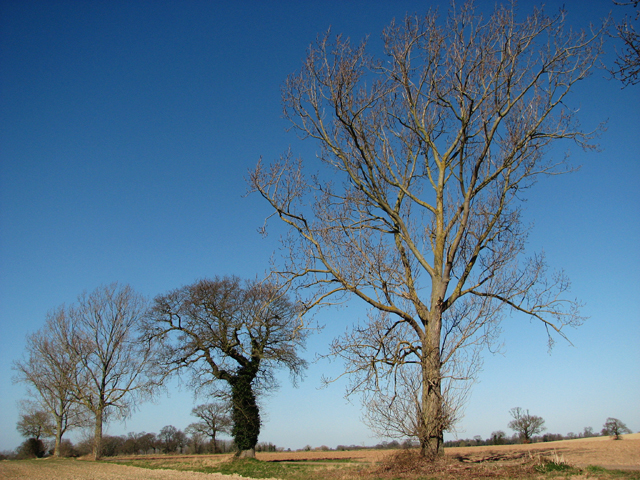
The plantation offers a unique opportunity for visitors to immerse themselves in the natural beauty of the region. The forest is home to a variety of native trees, including oak, beech, and birch, which provide a stunning backdrop for leisurely walks and hikes. Nature trails wind their way through the plantation, allowing visitors to explore the area at their own pace and discover its hidden gems.
Belt Plantation is also home to a wide range of wildlife, making it a haven for animal lovers and birdwatchers. Visitors may catch a glimpse of deer, foxes, badgers, and a plethora of bird species, including woodpeckers, owls, and robins.
For those looking to escape the hustle and bustle of everyday life, Belt Plantation provides a peaceful retreat. With its calm atmosphere and scenic surroundings, it offers a perfect opportunity to unwind and reconnect with nature. Whether one is a seasoned naturalist or simply seeking solace in a tranquil environment, Belt Plantation is a must-visit destination in Norfolk.
If you have any feedback on the listing, please let us know in the comments section below.
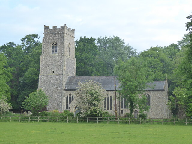
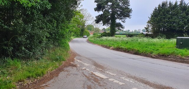
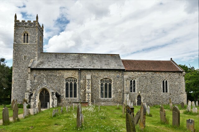
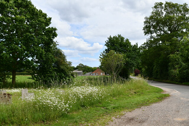
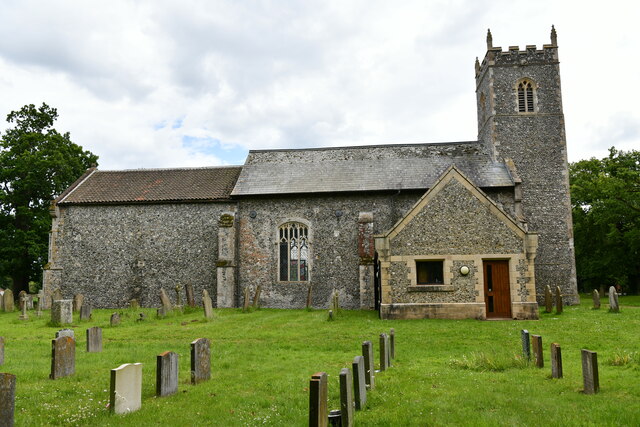
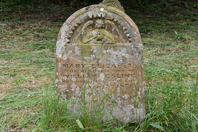
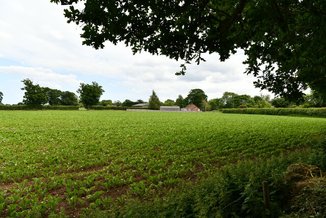
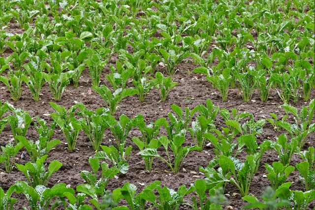
Belt Plantation Images
Images are sourced within 2km of 52.641542/1.5040759 or Grid Reference TG3710. Thanks to Geograph Open Source API. All images are credited.


Belt Plantation is located at Grid Ref: TG3710 (Lat: 52.641542, Lng: 1.5040759)
Administrative County: Norfolk
District: Broadland
Police Authority: Norfolk
What 3 Words
///trickling.bystander.automatic. Near Lingwood, Norfolk
Nearby Locations
Related Wikis

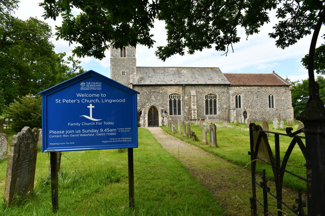
Lingwood and Burlingham
Lingwood and Burlingham is a civil parish in the English county of Norfolk, comprising the large village of Lingwood together with the smaller villages...
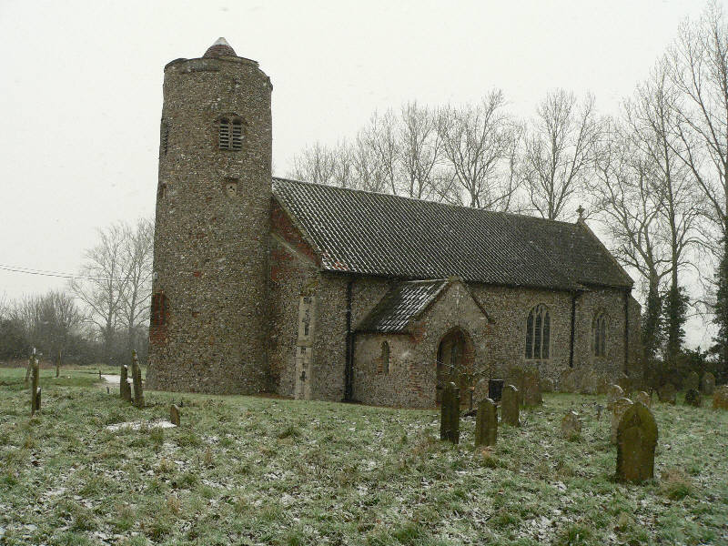
Hemblington
Hemblington is a civil parish in the English county of Norfolk, about 8 miles (13 km) east of Norwich. It covers an area of 3.03 km2 (1.17 sq mi) and had...
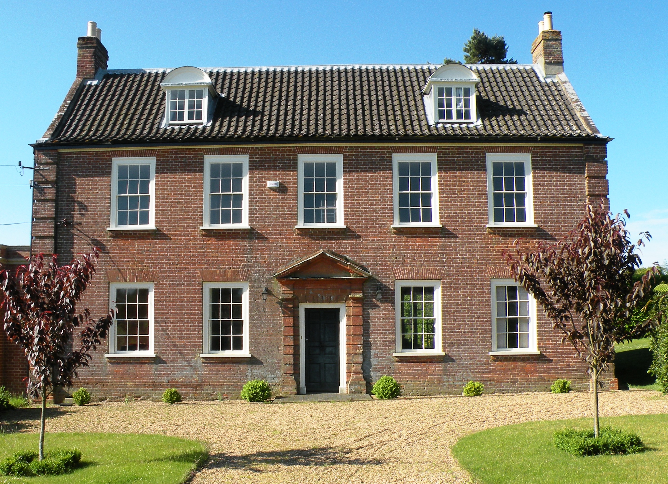
Hemblington Hall
Hemblington Hall is a large farmhouse in Norfolk county, England, built around 1700 with a Georgian facade. This grade II listed building was the home...

Lingwood railway station
Lingwood railway station is on the Wherry Lines in the east of England, serving the village of Lingwood, Norfolk. It is 7 miles 78 chains (12.8 km) down...
Related Videos
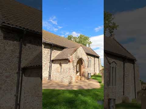
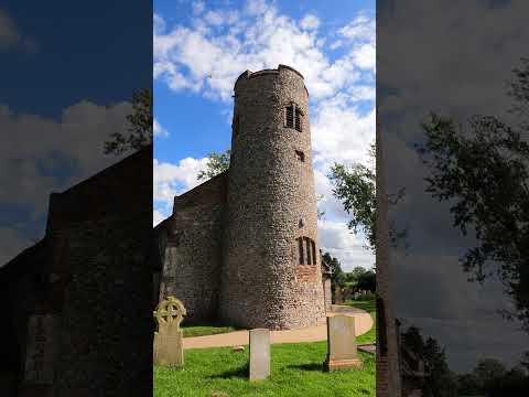

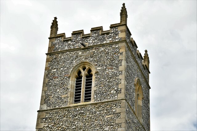
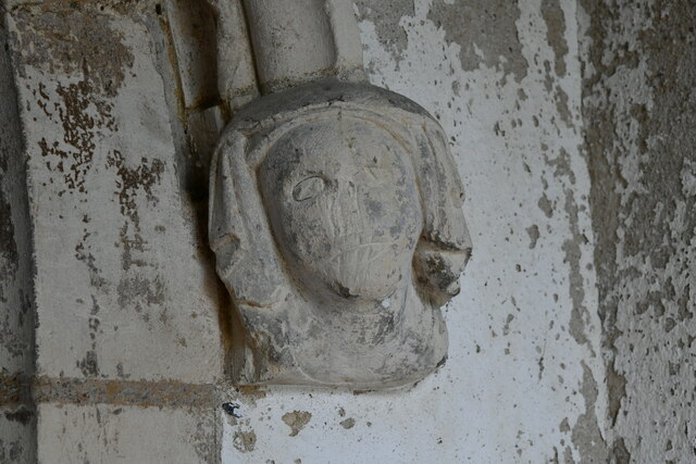
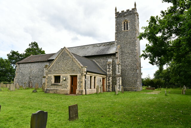
All Saints Church, Hemblington - with 15th century mural
A very remarkable small church - obviously very well cared for, and inside has an amazing 15th century mural, which was ...
Nearby Amenities
Located within 500m of 52.641542,1.5040759Have you been to Belt Plantation?
Leave your review of Belt Plantation below (or comments, questions and feedback).